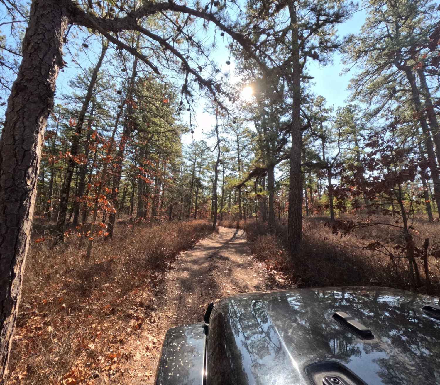
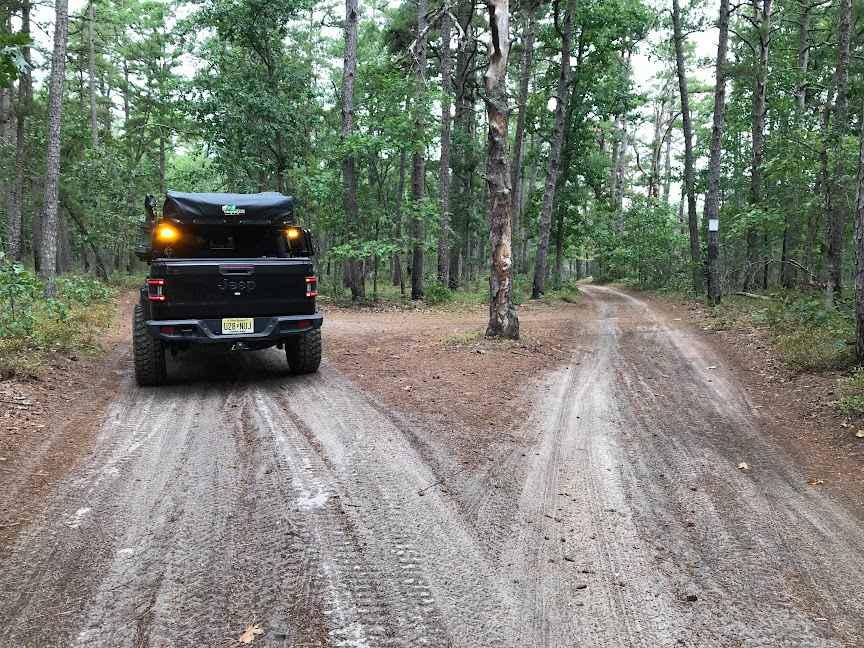
Off-Road Trails in New Jersey
Discover off-road trails in New Jersey
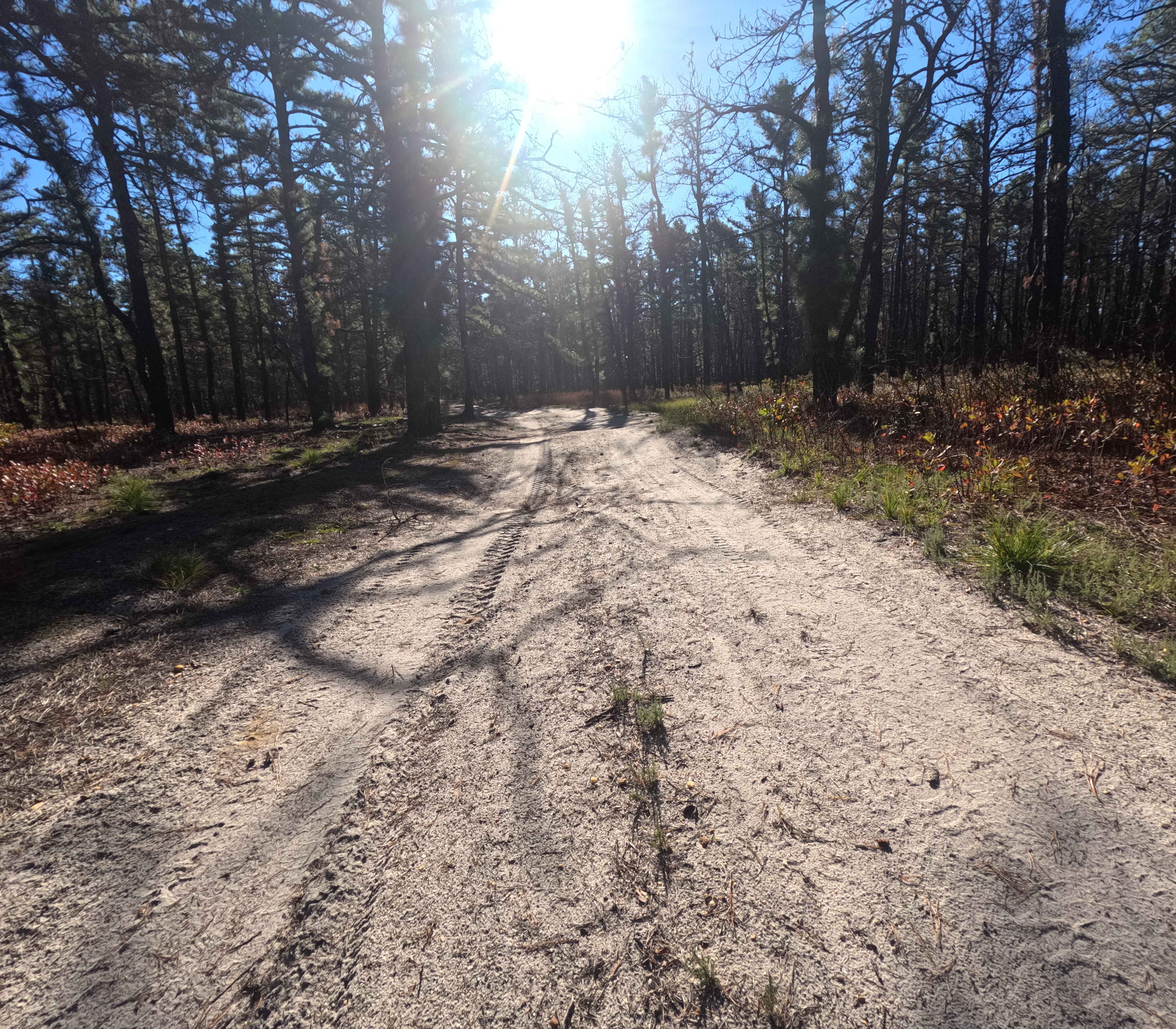
Learn more about Glassworks Trail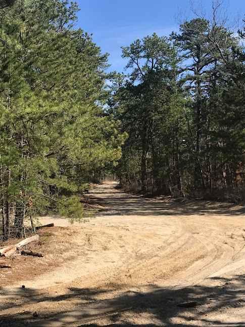
Glassworks Trail
Total Miles
4.8
Tech Rating
Moderate
Best Time
Summer, Spring
Learn more about Goshen Bridge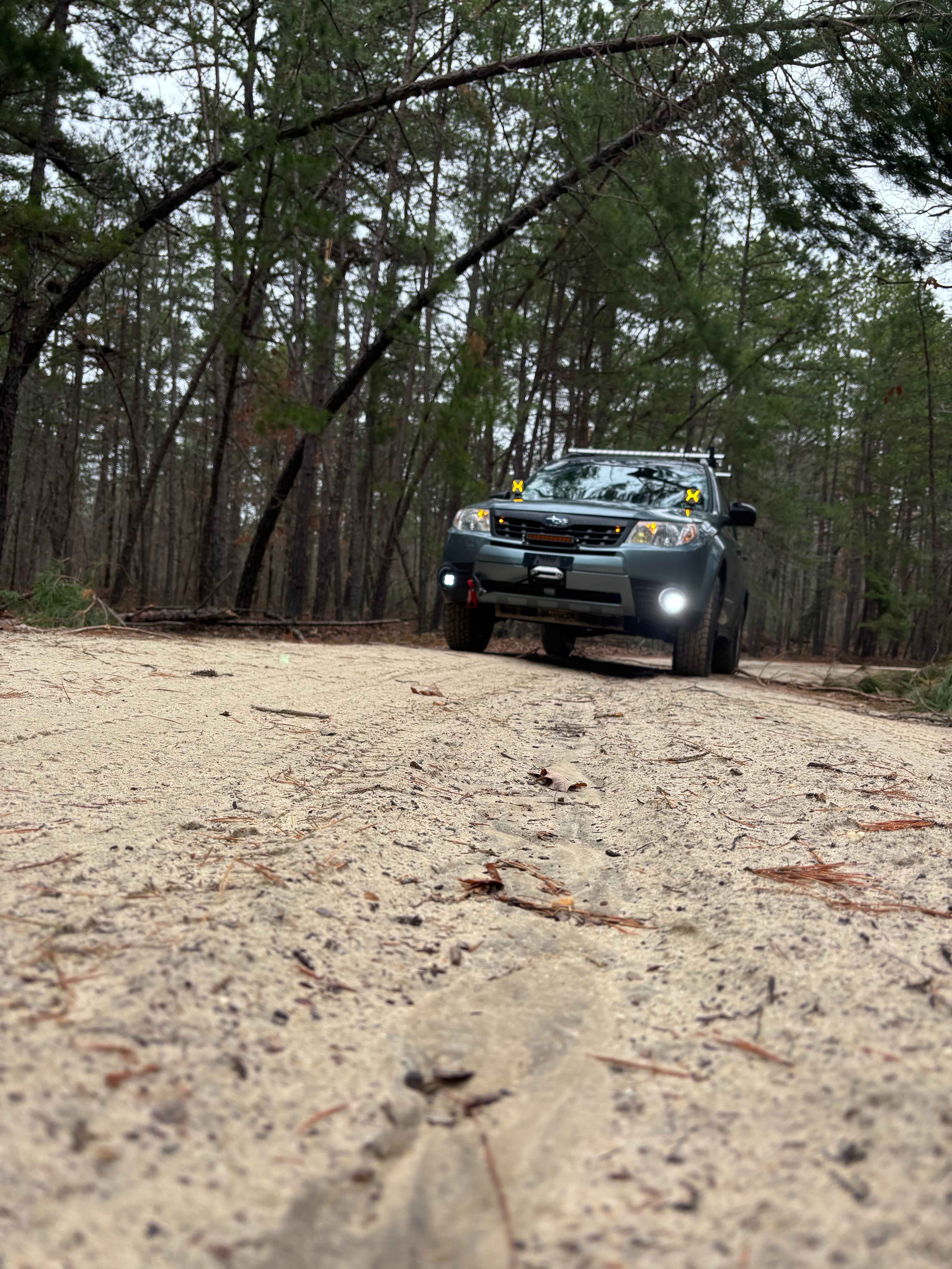
Goshen Bridge
Total Miles
3.7
Tech Rating
Easy
Best Time
Fall, Spring, Winter
Learn more about Jay's Iron Pipe Road
Jay's Iron Pipe Road
Total Miles
1.9
Tech Rating
Easy
Best Time
Spring, Summer, Fall, Winter
Learn more about Jones Road Trail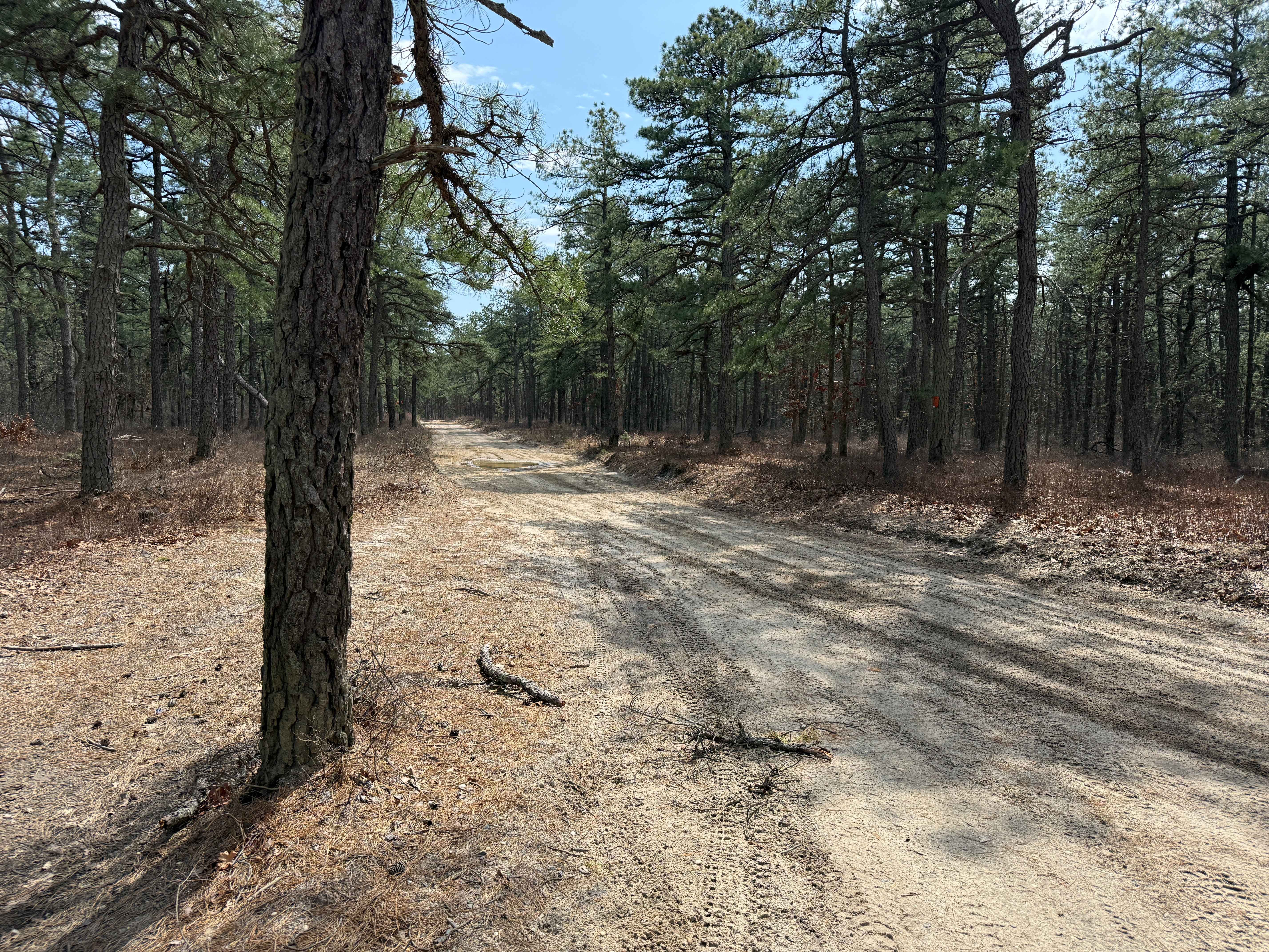
Jones Road Trail
Total Miles
3.3
Tech Rating
Easy
Best Time
Spring, Summer, Fall
Learn more about Lake Atsion to Lake Oswego
Lake Atsion to Lake Oswego
Total Miles
20.6
Tech Rating
Easy
Best Time
Spring, Summer, Fall, Winter
Learn more about Lee's Trail
Lee's Trail
Total Miles
1.1
Tech Rating
Easy
Best Time
Spring, Summer, Fall, Winter
Learn more about Little Mill Road
Little Mill Road
Total Miles
1.7
Tech Rating
Easy
Best Time
Summer, Spring, Fall

Learn more about Marcus Trail
Marcus Trail
Total Miles
0.8
Tech Rating
Easy
Best Time
Spring, Summer, Fall, Winter
Learn more about Melanie Landing
Melanie Landing
Total Miles
0.9
Tech Rating
Moderate
Best Time
Fall, Winter, Spring
Learn more about Mines Spung Road
Mines Spung Road
Total Miles
2.3
Tech Rating
Easy
Best Time
Spring, Summer, Fall, Winter
Learn more about Mitchell - Roosevelt Road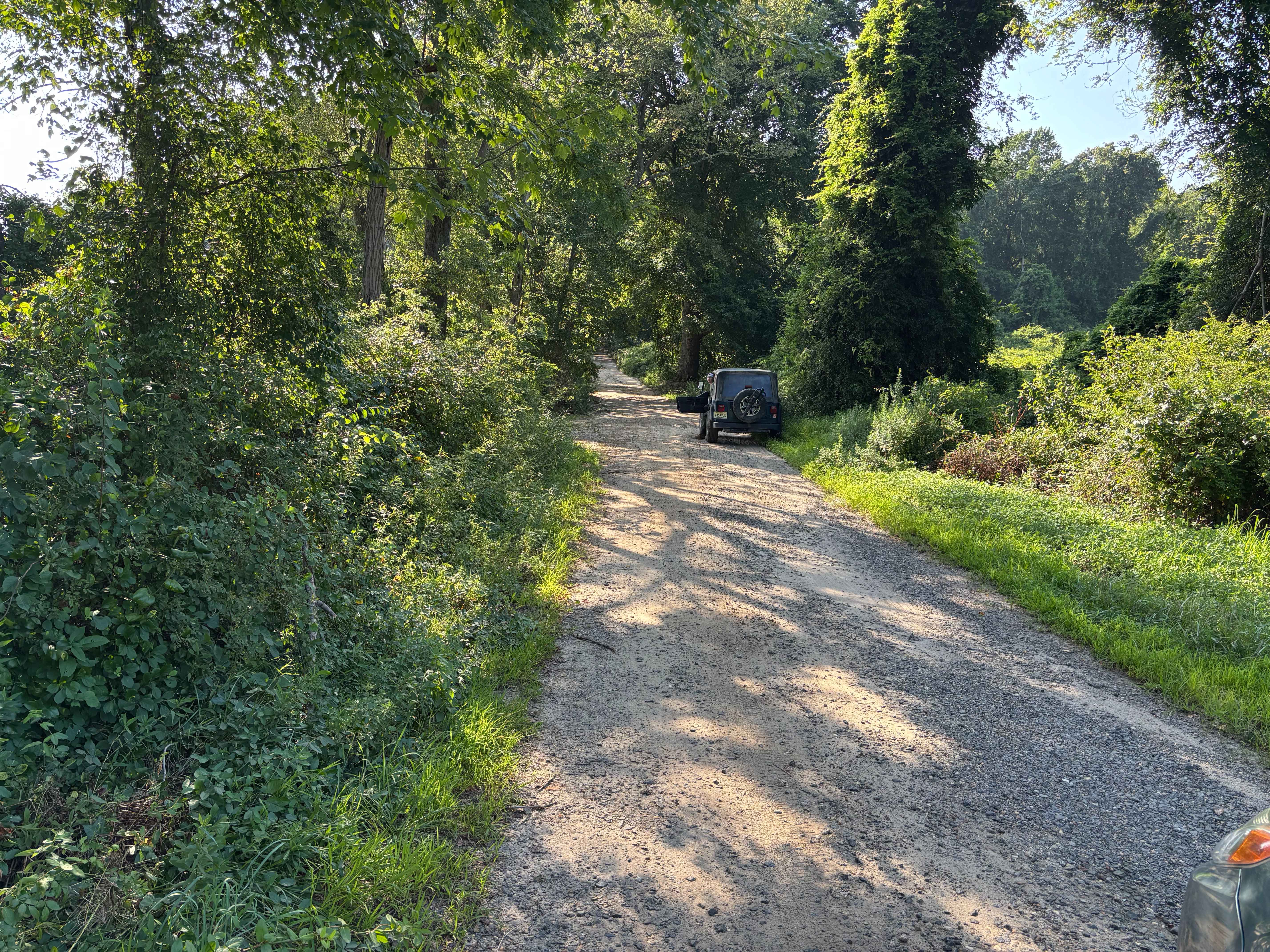
Mitchell - Roosevelt Road
Total Miles
2.9
Tech Rating
Easy
Best Time
Spring, Summer, Fall, Winter
Learn more about Mount Misery and Pasadena Road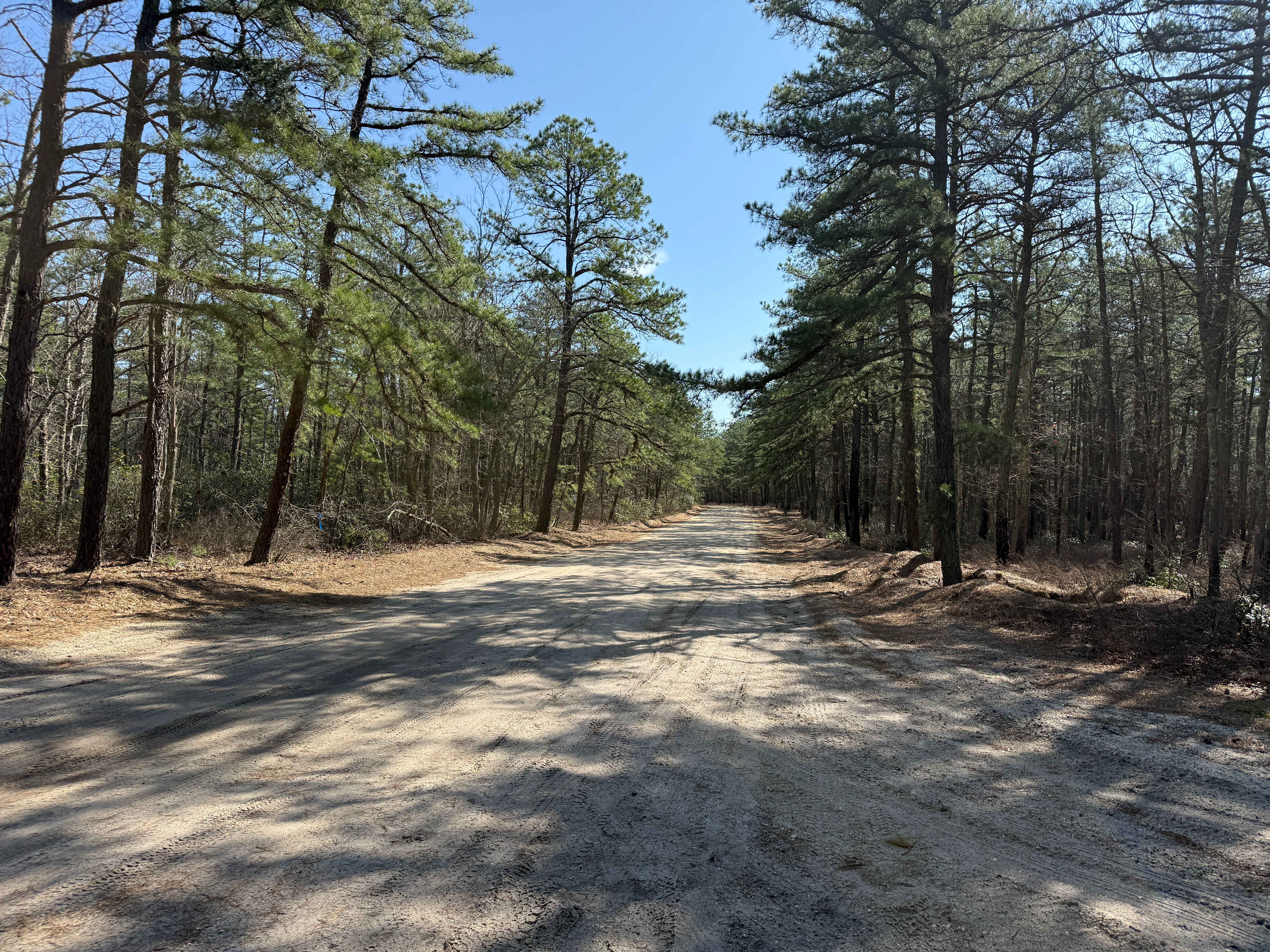
Mount Misery and Pasadena Road
Total Miles
5.3
Tech Rating
Easy
Best Time
Spring, Fall, Summer
Learn more about Mount Sandy Ridge Road
Mount Sandy Ridge Road
Total Miles
1.6
Tech Rating
Easy
Best Time
Winter, Summer, Spring, Fall
Learn more about Muddy Road Trail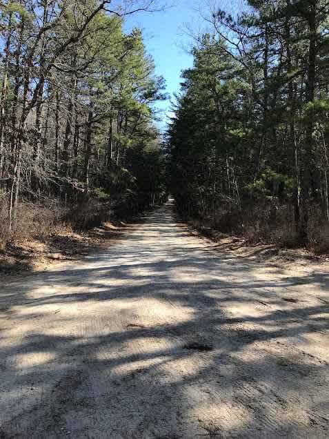
Muddy Road Trail
Total Miles
2.1
Tech Rating
Easy
Best Time
Summer, Spring
Learn more about Quaker Bridge to Godfrey Bridge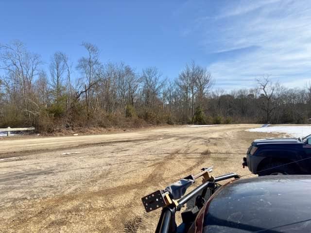
Quaker Bridge to Godfrey Bridge
Total Miles
5.2
Tech Rating
Easy
Best Time
Spring, Fall, Winter
Learn more about Railroad Prerunner Trail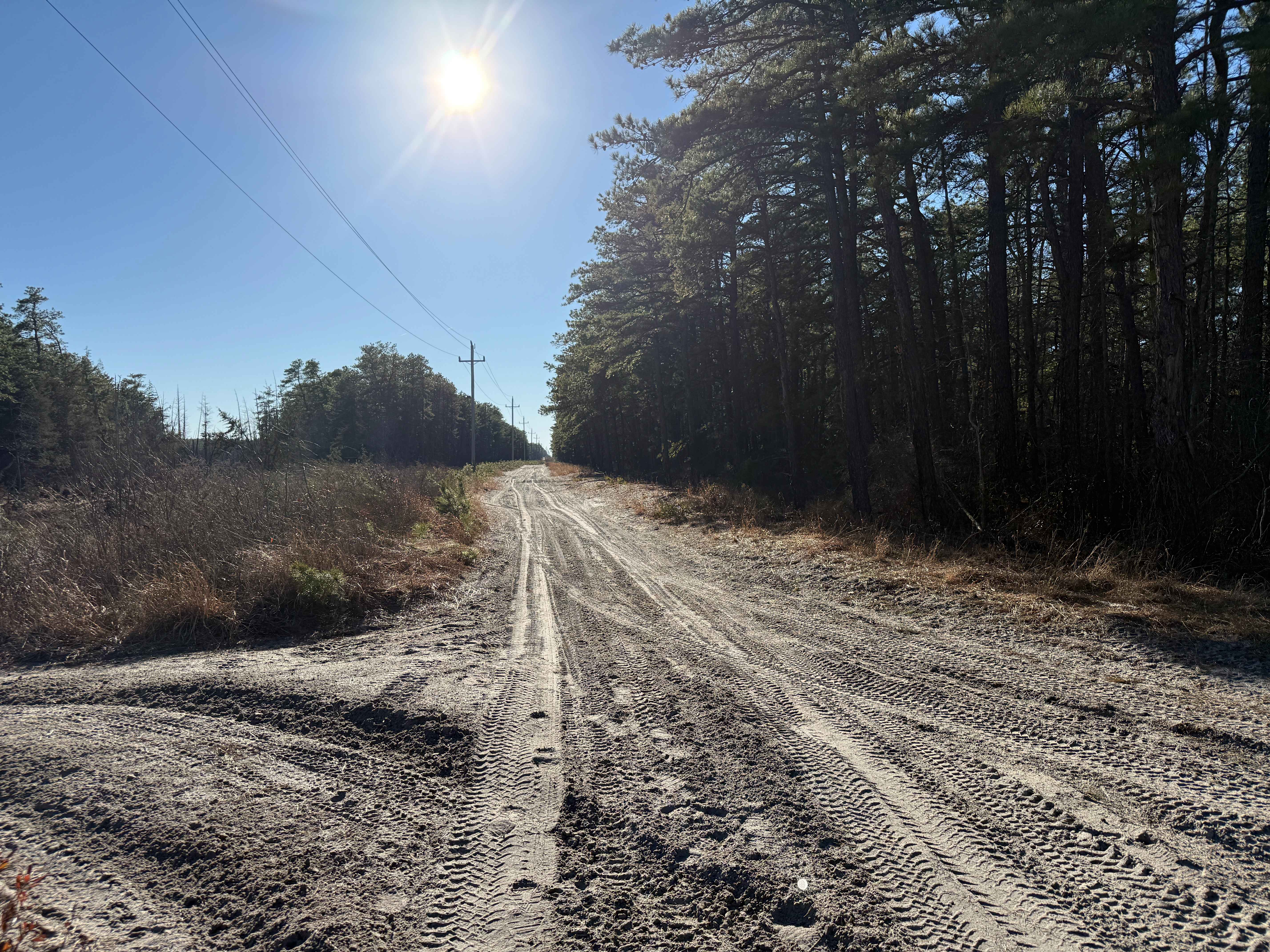
Railroad Prerunner Trail
Total Miles
4.5
Tech Rating
Moderate
Best Time
Summer, Fall, Spring
ATV trails in New Jersey
Learn more about Apple Pie Fire Tower Trail
Apple Pie Fire Tower Trail
Total Miles
2.5
Tech Rating
Easy
Best Time
Spring, Summer, Fall, Winter
Learn more about Batsto Fireline Trail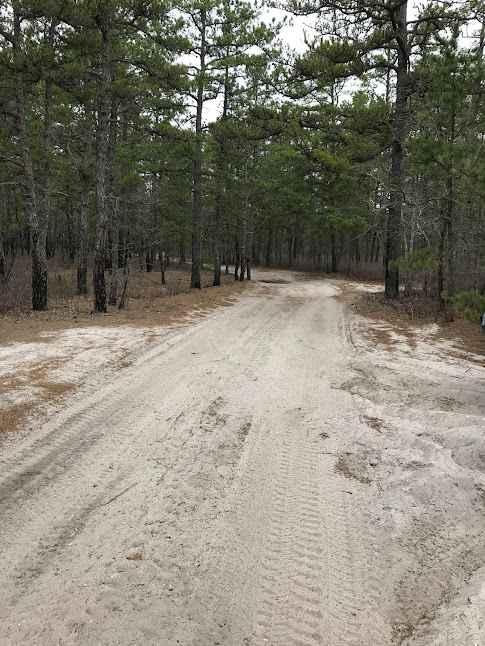
Batsto Fireline Trail
Total Miles
8.0
Tech Rating
Moderate
Best Time
Summer
Learn more about Battie Trail 
Battie Trail
Total Miles
1.1
Tech Rating
Easy
Best Time
Spring, Summer, Fall, Winter
UTV/side-by-side trails in New Jersey
Learn more about Apple Pie Fire Tower Trail
Apple Pie Fire Tower Trail
Total Miles
2.5
Tech Rating
Easy
Best Time
Spring, Summer, Fall, Winter
Learn more about Batsto Fireline Trail
Batsto Fireline Trail
Total Miles
8.0
Tech Rating
Moderate
Best Time
Summer
Learn more about Battie Trail
Battie Trail
Total Miles
1.1
Tech Rating
Easy
Best Time
Spring, Summer, Fall, Winter
The onX Offroad Difference
onX Offroad combines trail photos, descriptions, difficulty ratings, width restrictions, seasonality, and more in a user-friendly interface. Available on all devices, with offline access and full compatibility with CarPlay and Android Auto. Discover what you’re missing today!