Melanie Landing
Total Miles
0.9
Technical Rating
Best Time
Fall, Winter, Spring
Trail Type
High-Clearance 4x4 Trail
Accessible By
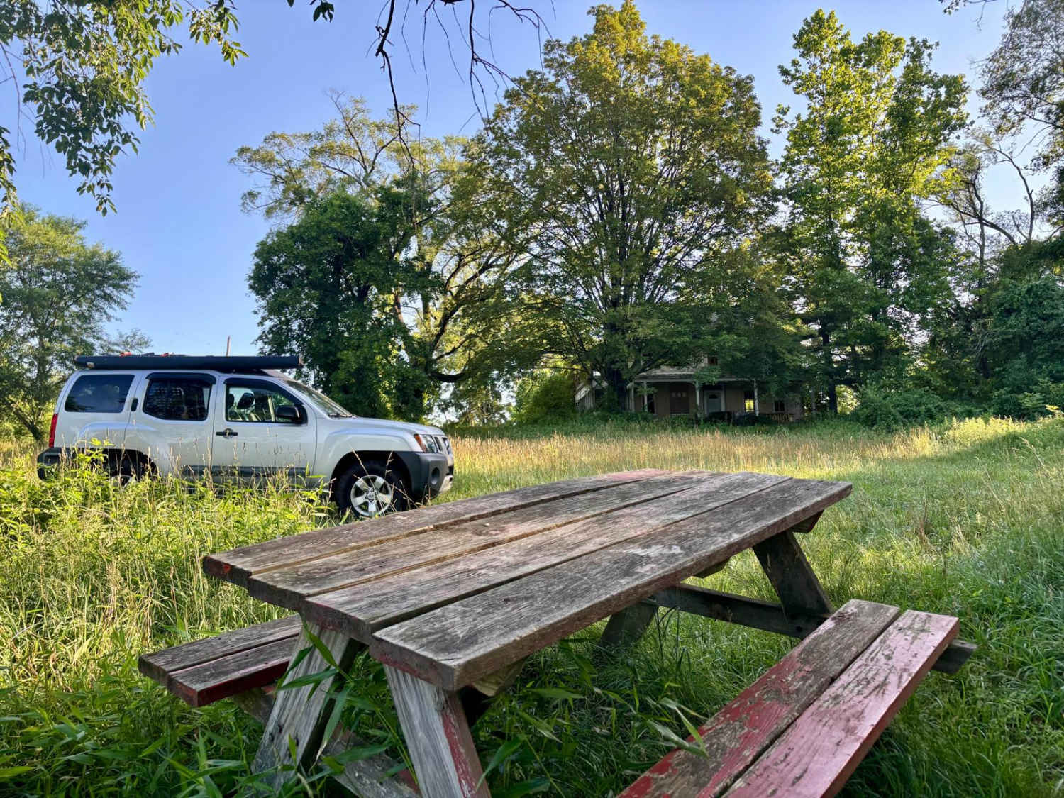
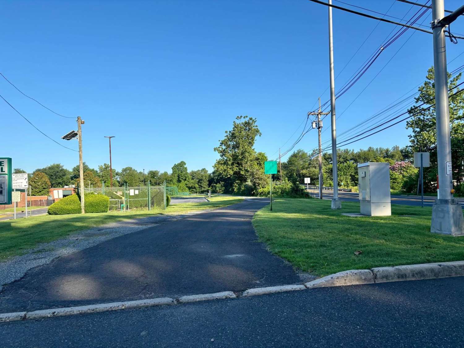
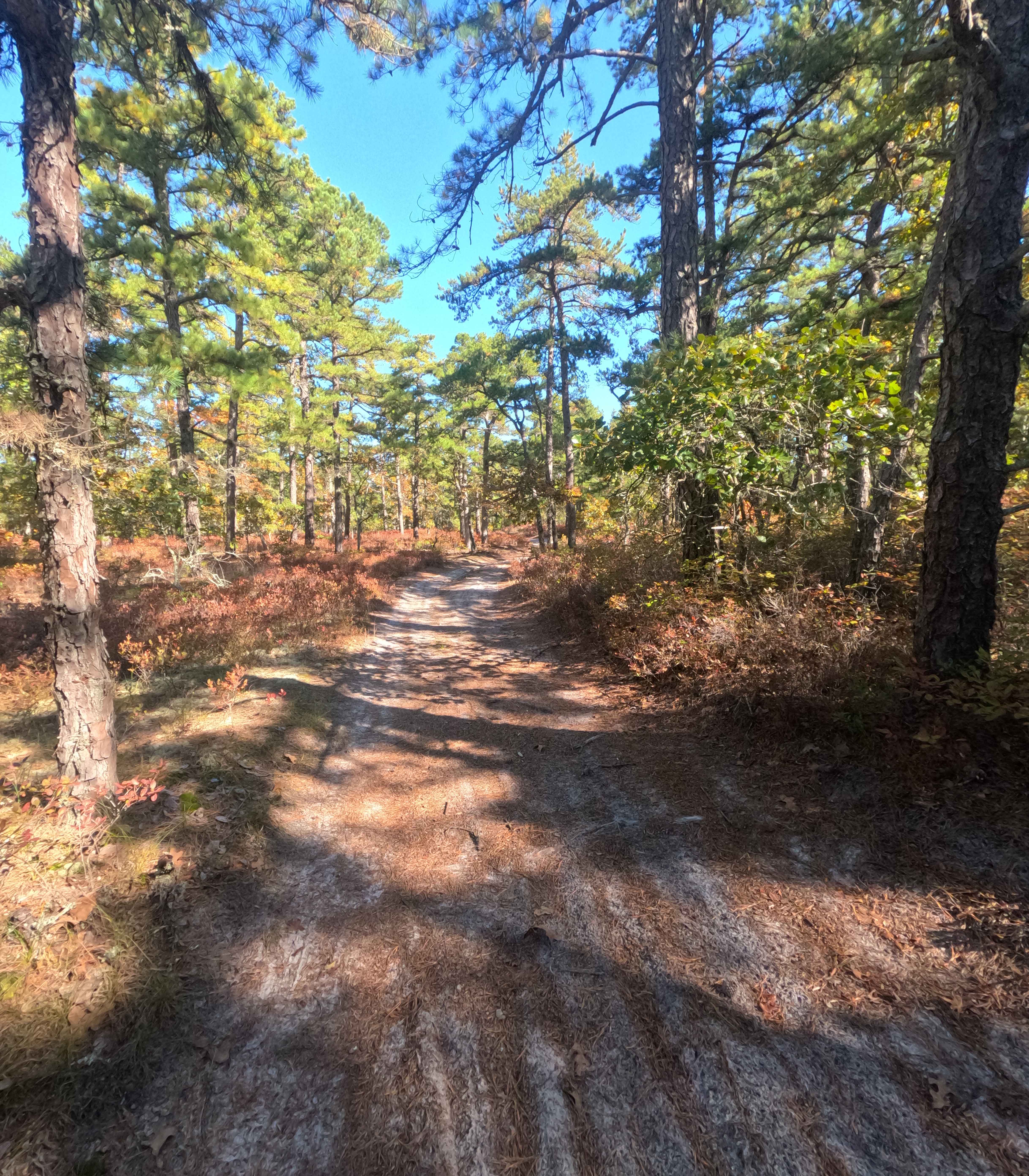
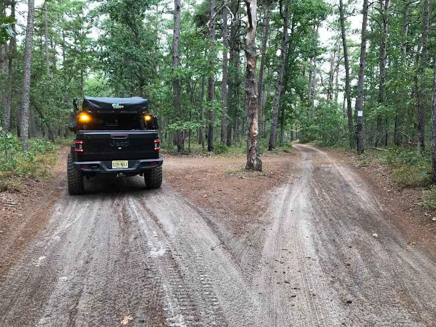
Trail Overview
This approximately one-mile-long trail leads to a historic site on the North Branch of Rancocas Creek. Once a ranger station, the now-abandoned house sits beside what was once a popular kayak launch point. The entrance is off Rancocas Road near the New Jersey Turnpike, directly in front of Westampton Middle School. Follow the paved road in front of the school; it quickly turns into a dilapidated single lane path with a tight S-curve. This is rutted and can develop deep puddles after rain. Near the old house, the trail opens into a field that includes the former launch point, which also serves as a quiet fishing spot.
Photos of Melanie Landing
Difficulty
Most of the trail is a "2", but when it turns into a single line. It becomes broken gravel, then the S-turn gets very muddy with deep puddles. Will only enter with a 4x4 vehicle.
History
Was used to access the kayak/boat launch. Over the years the access road began to fall apart with no resources or interest to repair it. Its in the condition it is today.
Status Reports
Melanie Landing can be accessed by the following ride types:
- High-Clearance 4x4
Melanie Landing Map
Popular Trails
Forked River Mountain Summit
Bryant to Hays Road
The onX Offroad Difference
onX Offroad combines trail photos, descriptions, difficulty ratings, width restrictions, seasonality, and more in a user-friendly interface. Available on all devices, with offline access and full compatibility with CarPlay and Android Auto. Discover what you’re missing today!