Muddy Road Trail
Total Miles
2.1
Technical Rating
Best Time
Summer, Spring
Trail Type
Full-Width Road
Accessible By
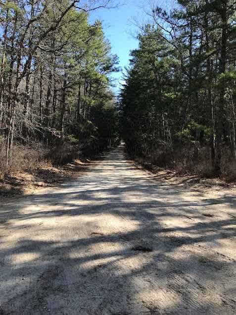
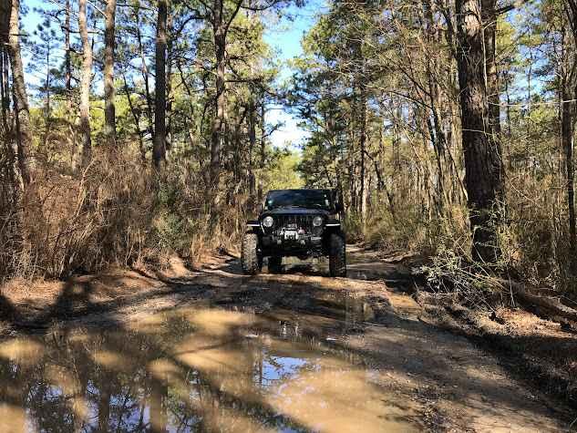
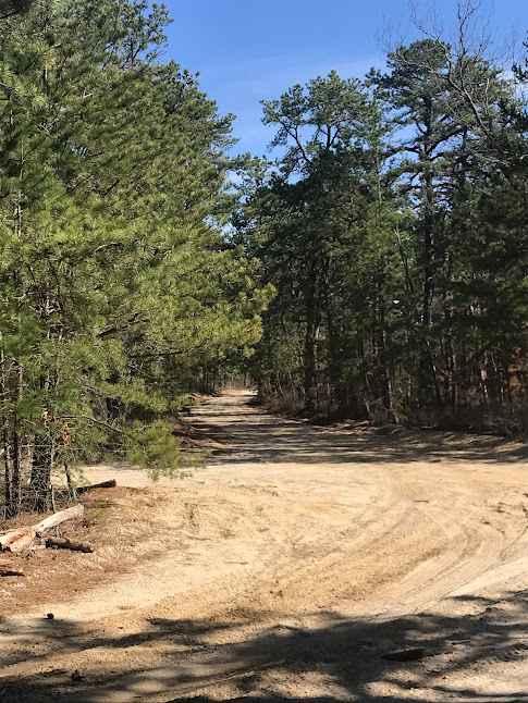
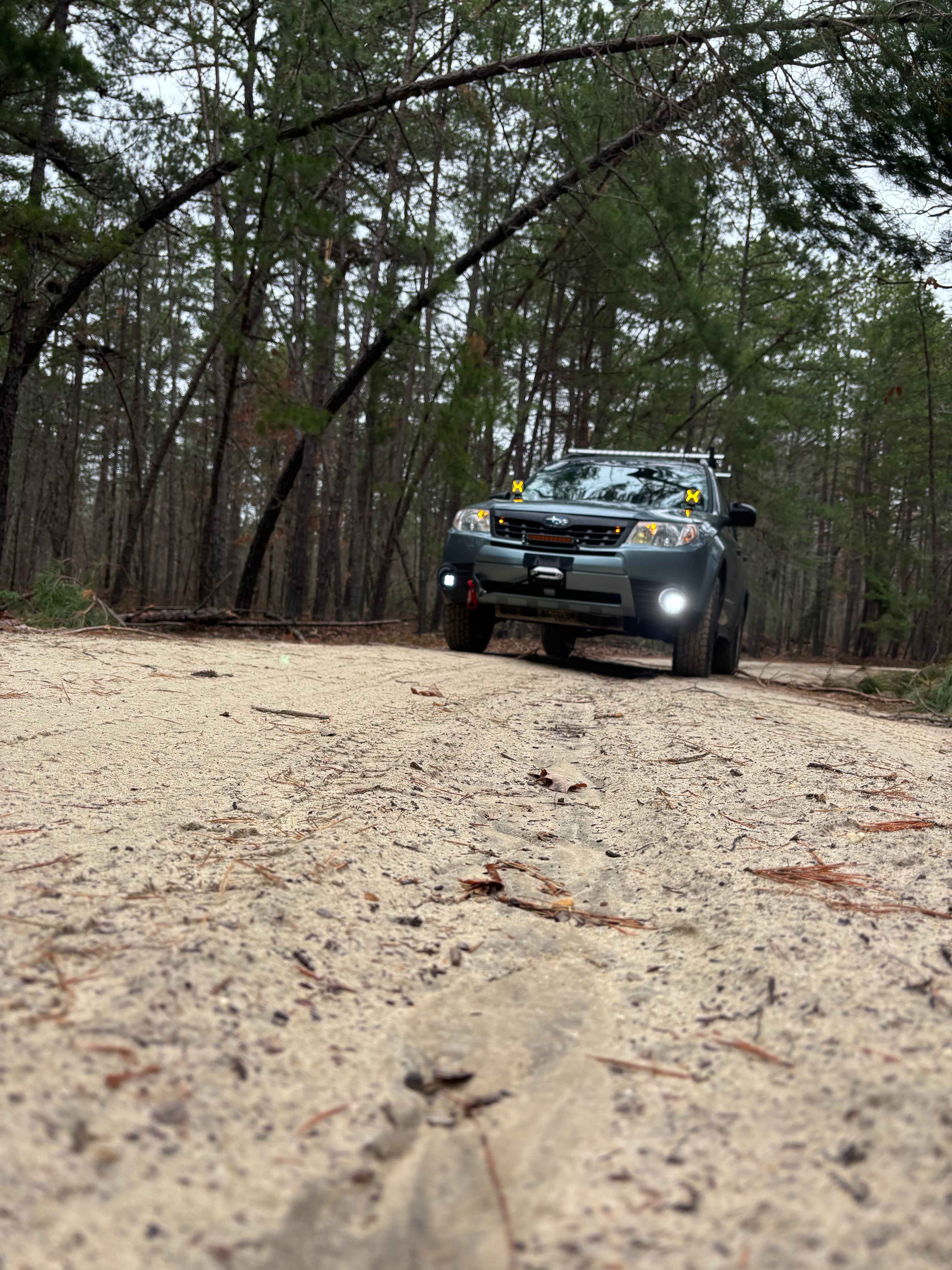
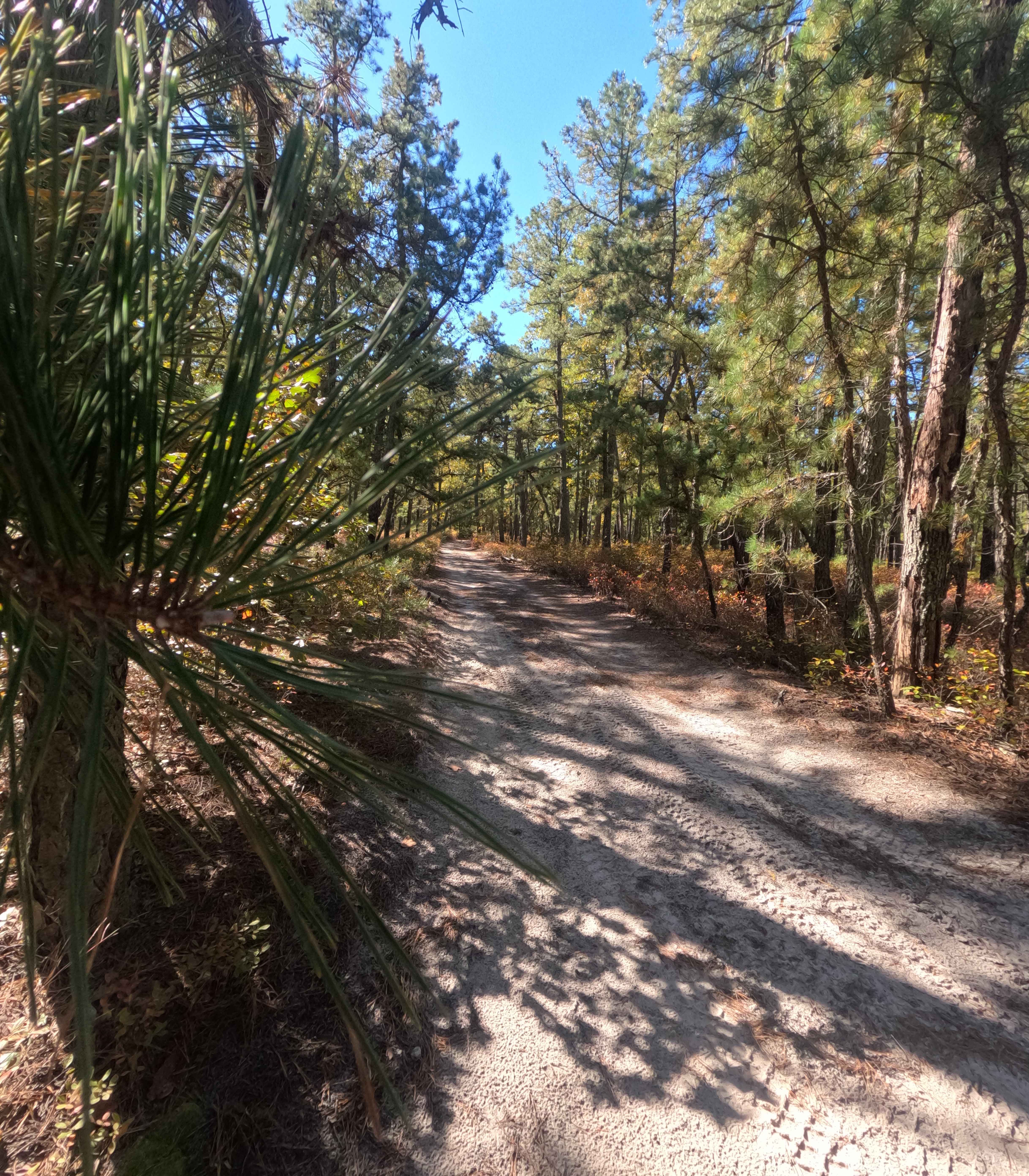
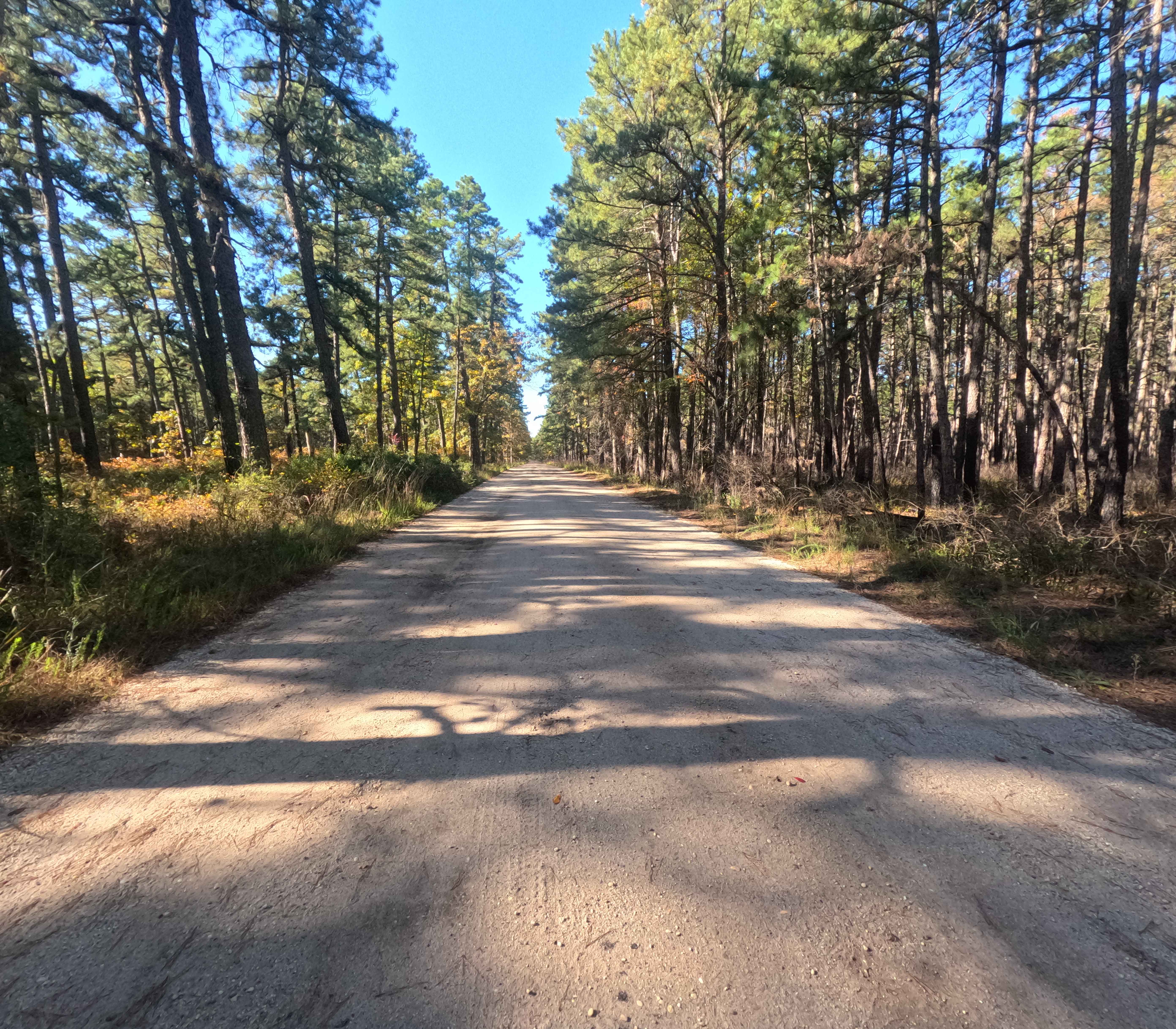
Trail Overview
Muddy Road Trail is a trail within the Brendan T. Byrne State Forest. This trail routes you around the back side of Pakim Pond and a picnic area. This short trail is 2.1 miles long and contains multiple deep water/mud holes and a tight winding trail. You can access this trail from either Coppers Road or Glass House Road.
Photos of Muddy Road Trail
Difficulty
This is a very wet and muddy route; moderate clearance is required.
Status Reports
Muddy Road Trail can be accessed by the following ride types:
- High-Clearance 4x4
- SUV
- SxS (60")
- ATV (50")
- Dirt Bike
Muddy Road Trail Map
Popular Trails
Glassworks Trail
Goshen Bridge
Washington Speedwell Road
Friendship Speedwell Road
The onX Offroad Difference
onX Offroad combines trail photos, descriptions, difficulty ratings, width restrictions, seasonality, and more in a user-friendly interface. Available on all devices, with offline access and full compatibility with CarPlay and Android Auto. Discover what you’re missing today!