South Bend to Iron Pipe
Total Miles
5.3
Technical Rating
Best Time
Winter
Trail Type
Full-Width Road
Accessible By
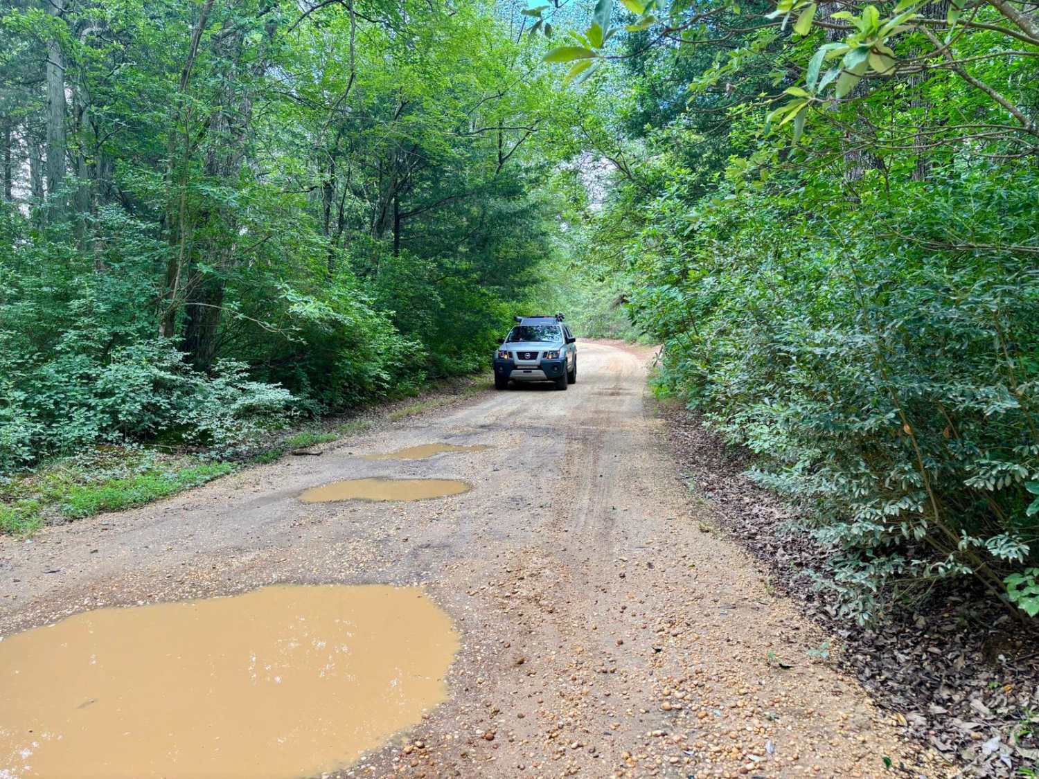
Trail Overview
The trail begins very tight at the start of South Bend Road. Pin Striping is unavoidable. The trail begins to open towards the end of South Bend Road. There are quite a few potential water/mud crossings up to 35" in depth. The majority of the deep water has bypass routes around. The trail ends in the center of Wharton State Forest at Iron Pipe Road.
Photos of South Bend to Iron Pipe

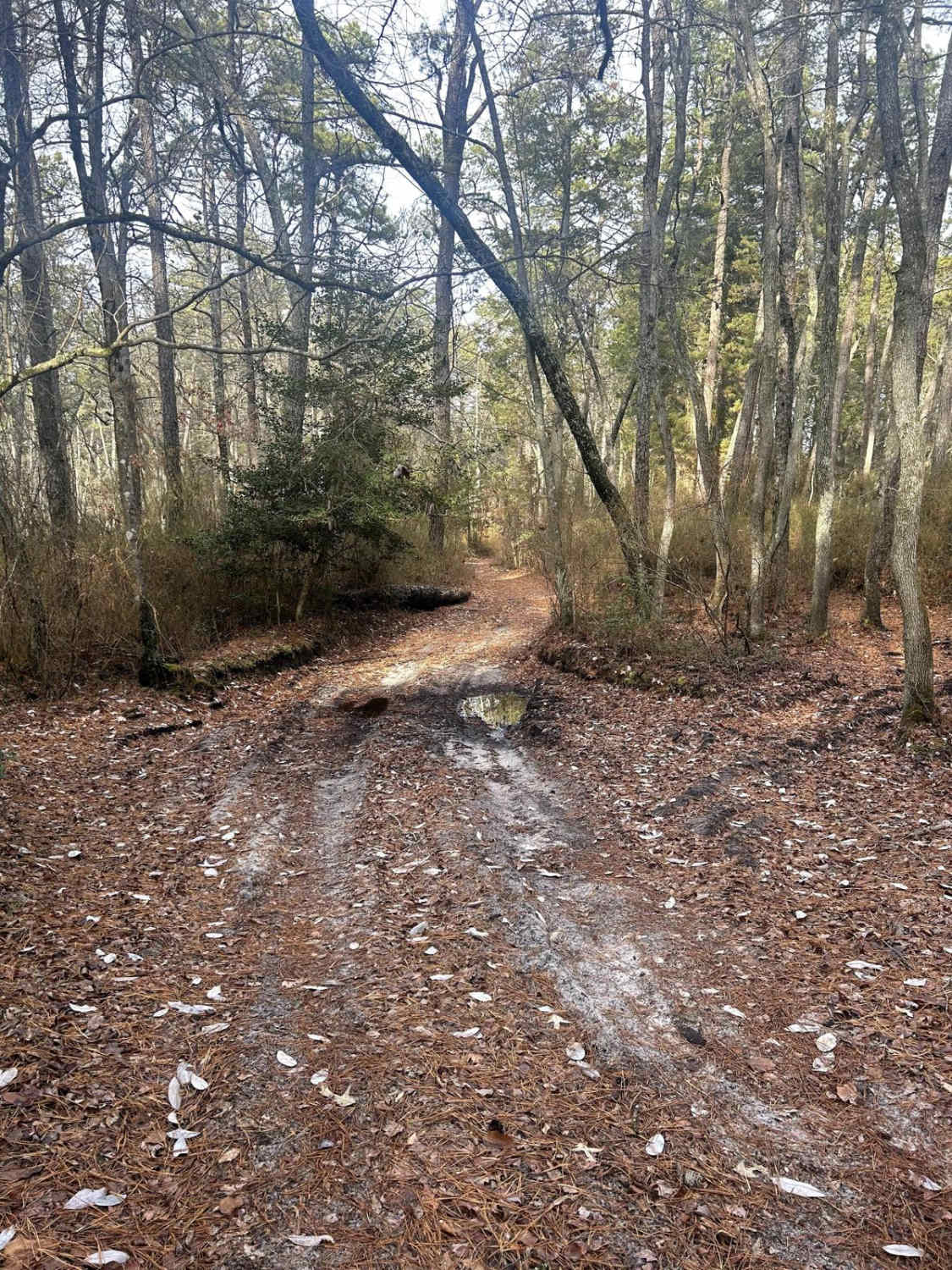
Difficulty
The trail is most difficult after or during heavy rain. The mud holes and water are the only difficulty.
South Bend to Iron Pipe can be accessed by the following ride types:
- High-Clearance 4x4
- SUV
South Bend to Iron Pipe Map
Popular Trails

Webb Mill Road to 539

Lee's Trail
Butler Place Road

The onX Offroad Difference
onX Offroad combines trail photos, descriptions, difficulty ratings, width restrictions, seasonality, and more in a user-friendly interface. Available on all devices, with offline access and full compatibility with CarPlay and Android Auto. Discover what you’re missing today!