Whitehorse Road
Total Miles
5.9
Technical Rating
Best Time
Fall
Trail Type
Full-Width Road
Accessible By
Trail Overview
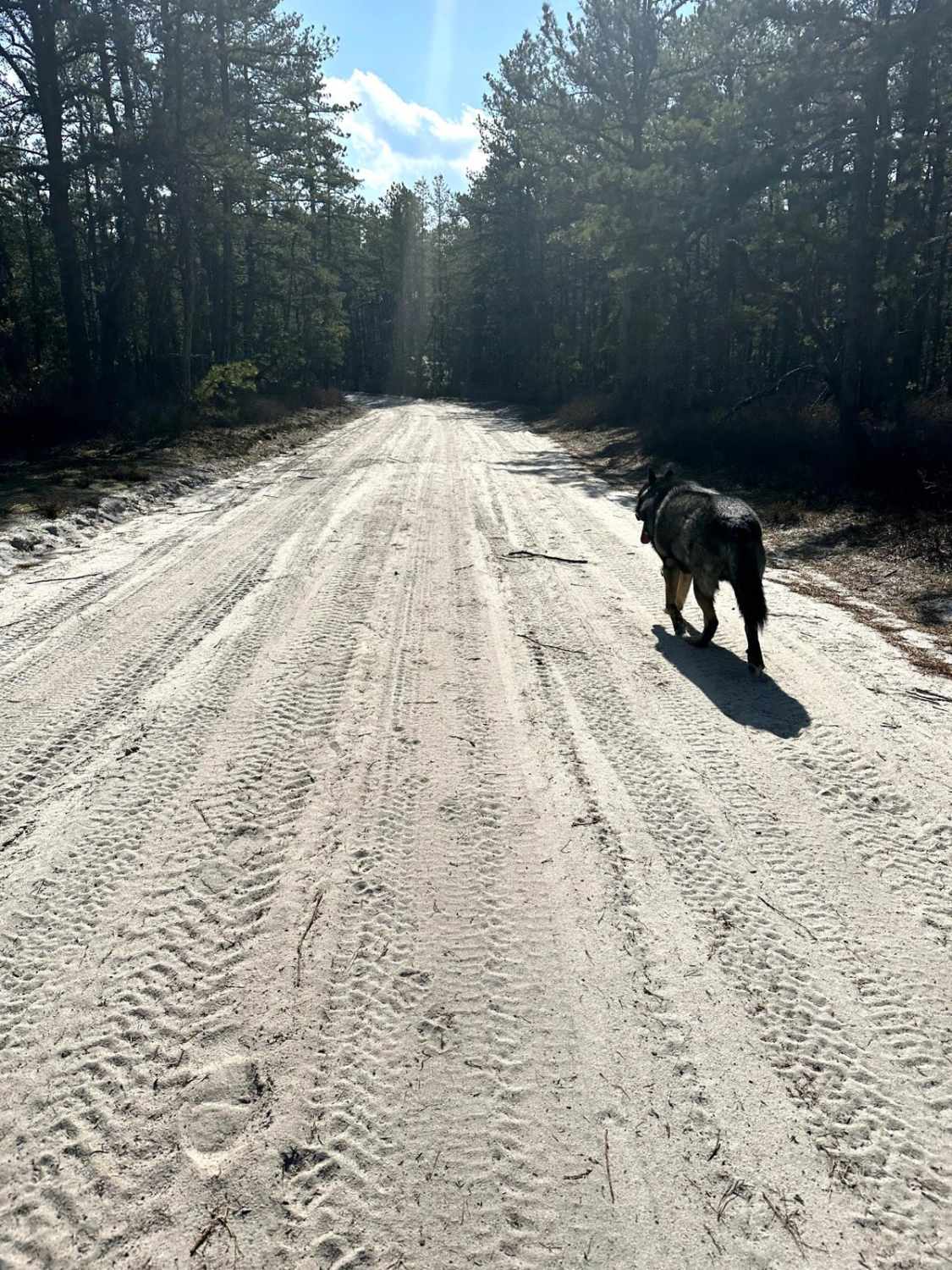
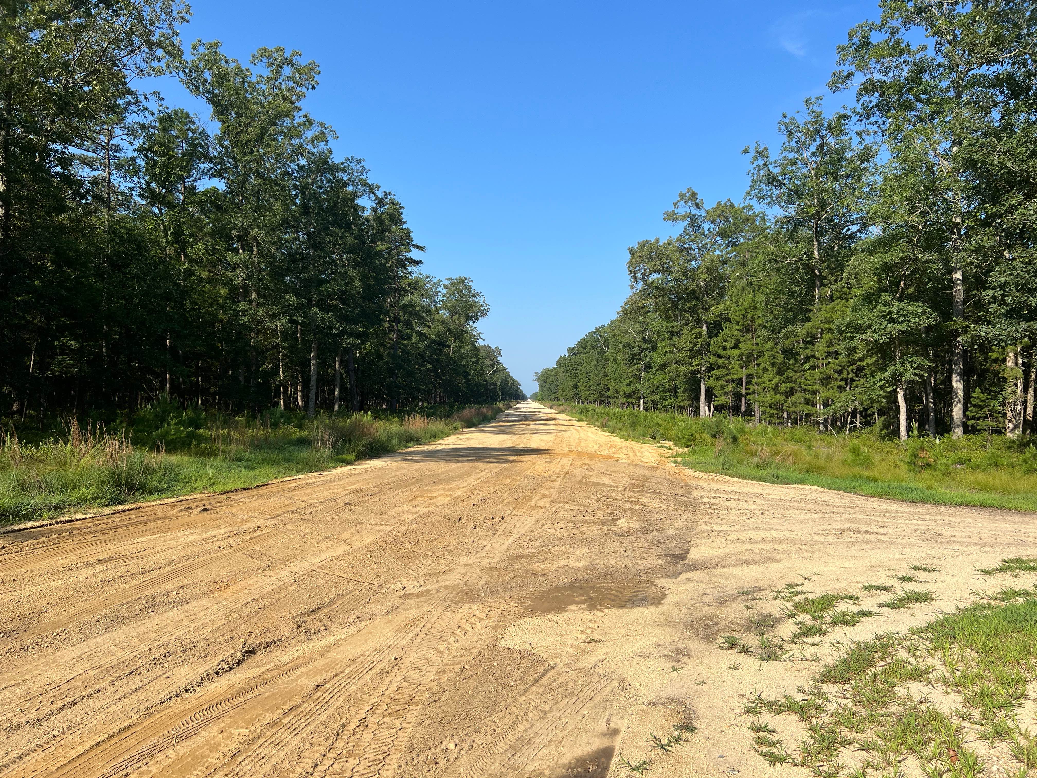
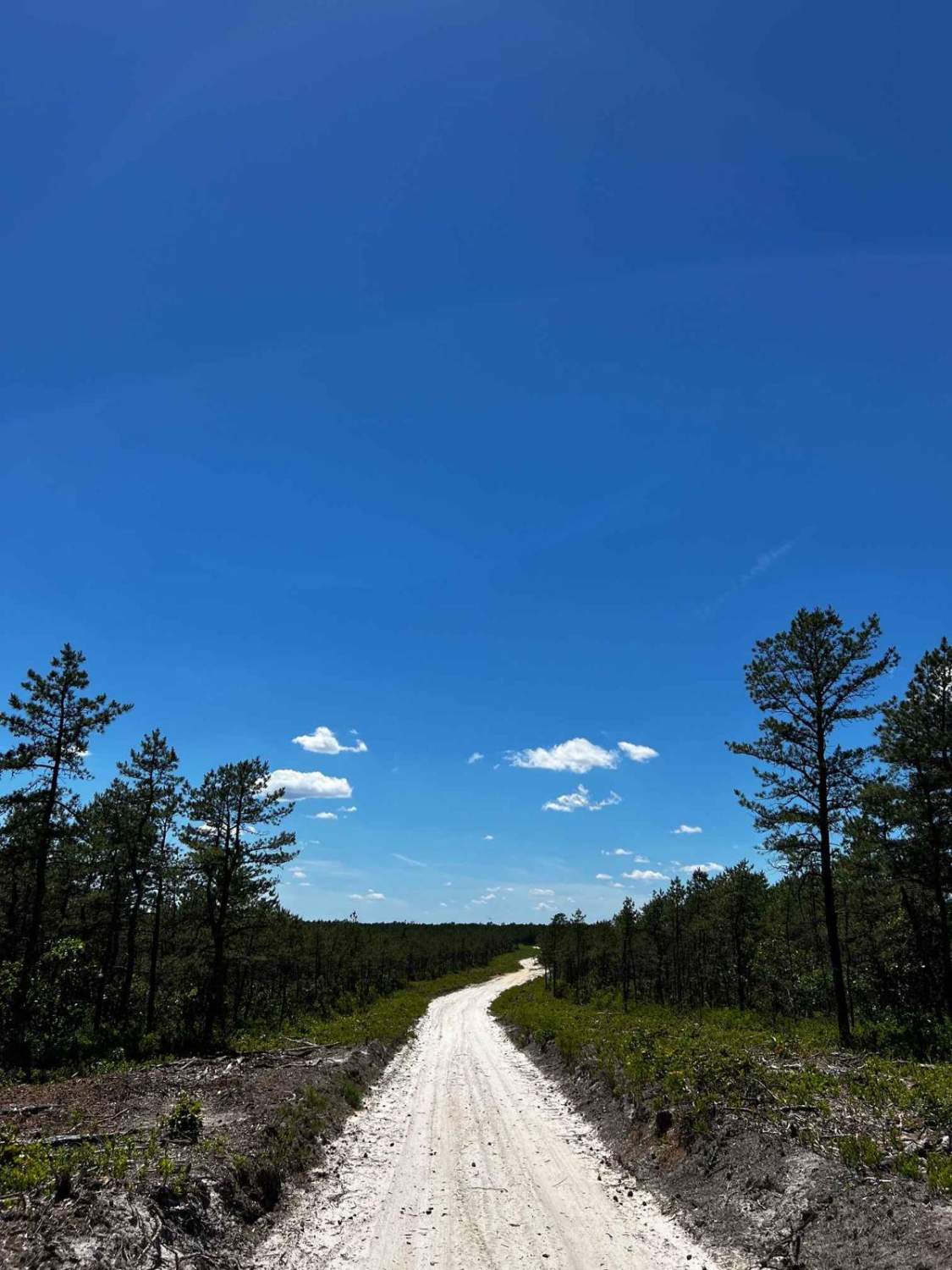
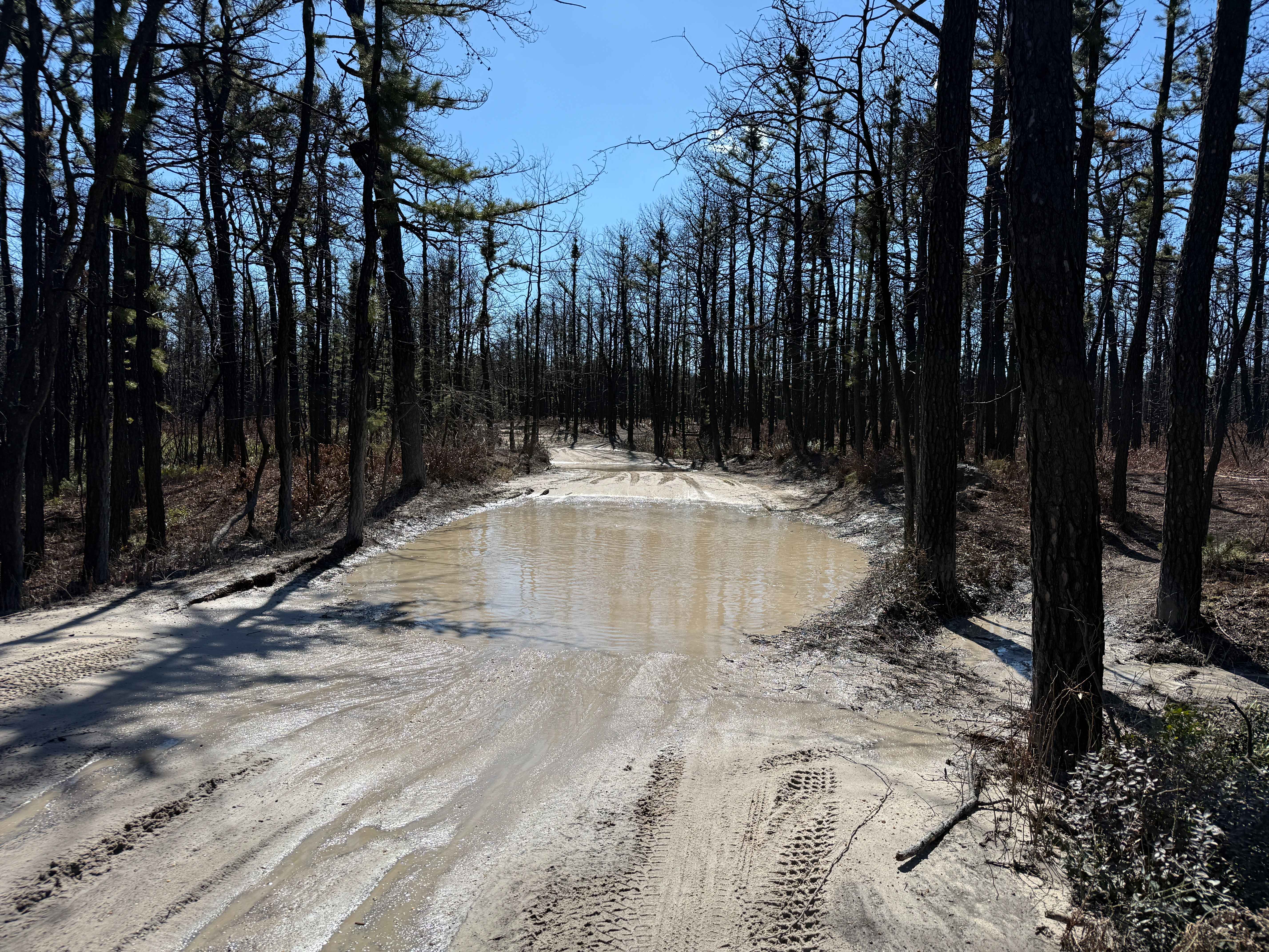
Whitehorse Road is located in the Wharton State Forest Section of the New Jersey Pine Barrens. The trail starts off with mild ruts/holes that typically is filled with water. The rest of the trail is deep sand with the occasional whoop filled potentially with water up to 24 inches. The end of the trail leads to the Apple Pie Hill Fire Tower. Camping is available at the Batona campsite at the beginning of the trail. Make Reservations on njportal.com.
Photos of Whitehorse Road

Difficulty
The main surface type of the trail is deep sand. You can easily get stuck if not in 4x4. The deep sand is the hardest part of this trail.
Status Reports
Whitehorse Road can be accessed by the following ride types:
- SUV
Whitehorse Road Map
Popular Trails

Battie Trail
Washington Turnpike
Forge Road to Wharton State Forest
Tuckertown Railroad Extension
The onX Offroad Difference
onX Offroad combines trail photos, descriptions, difficulty ratings, width restrictions, seasonality, and more in a user-friendly interface. Available on all devices, with offline access and full compatibility with CarPlay and Android Auto. Discover what you’re missing today!