771
Total Miles
5.0
Technical Rating
Best Time
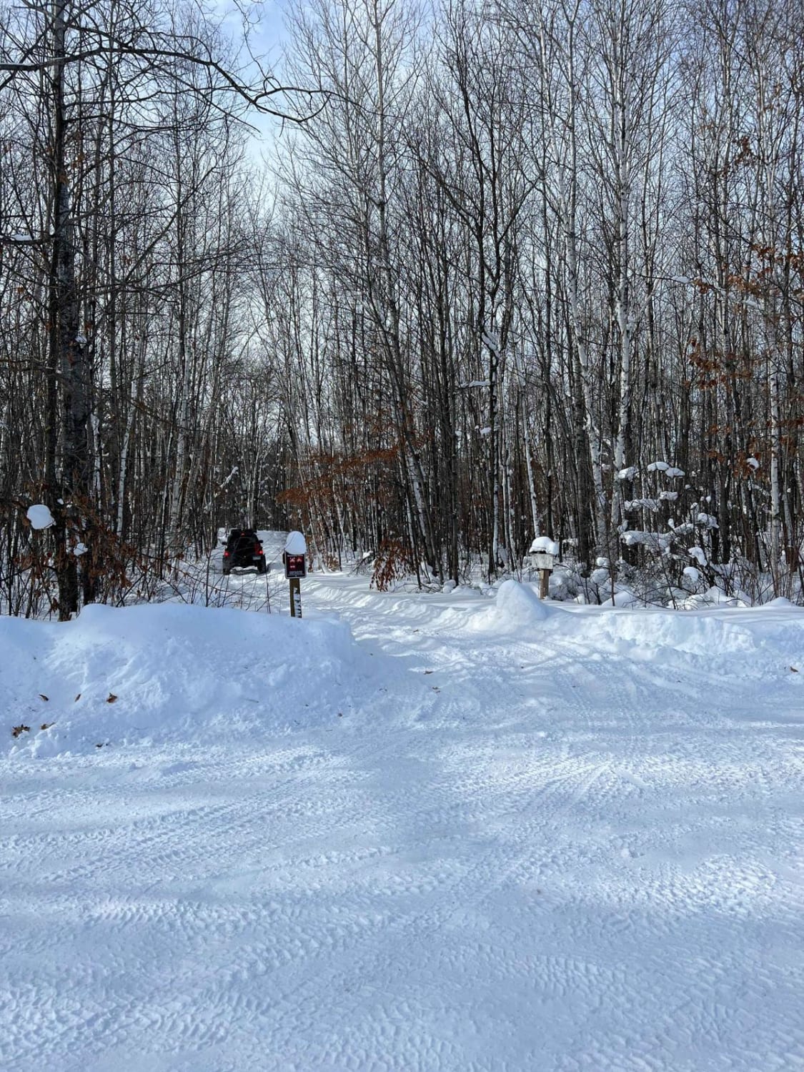
Spring, Summer, Fall, Winter
Trail Type
Full-Width Road
Accessible By
Trail Overview
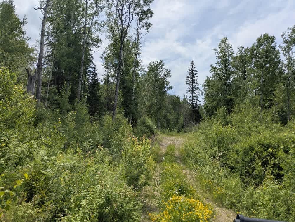
This trail branches off from the Camp 26 Trail and is initially smooth, but then follows a long, rough path composed of dirt, gravel, and exposed rock. It winds steadily through dense forest, showing little sign of maintenance. While some fallen trees still lie across the route, most of the larger ones have been cleared enough to allow passage. The surface varies, with sections of damp, muddy ground that may be slippery, depending on recent weather conditions. Several smaller offshoots break away from the main track, though most appear to be overgrown or remnants of older logging routes. Evidence of past logging activity is visible along much of the early trail, but as you continue, the surroundings begin to open up. The trail eventually leaves the mature forest and passes through a more recently cleared area filled with younger trees and saplings. Near the end, the track becomes tighter and more overgrown, bumpy, and rocky, with evidence of water damage as it follows alongside a small creek. At a final junction, the trail reaches a clearing that is a popular spot for informal target practice, as suggested by the large number of shell casings scattered on the ground. Some areas along the trail, especially at the end, could be used for dispersed camping. However, these spots are not particularly scenic and tend to be quite buggy during the warmer months. There are no formal camp sites on this route. Still, dispersed camping is typically allowed within the Superior National Forest, as long as you remain outside the Boundary Waters Canoe Area Wilderness. It's important to verify with local authorities before setting up camp. There are no amenities along the trail--no toilets, no garbage facilities, and no available water--so all supplies must be packed in and out. Cell service is spotty to non-existent, depending on location. Anyone planning to camp should come prepared and adhere to Leave No Trace principles.
Photos of 771

Difficulty
This trail is not maintained and is not regularly used by other users. The trail may be overgrown and unused, with debris on the trail.
History
Superior National Forest was established in 1909 by President Theodore Roosevelt to protect the region's watersheds and natural resources after years of heavy logging and mining. The area has long been home to the Ojibwe people, who continue to maintain cultural ties to the land. In 1978, the Boundary Waters Canoe Area Wilderness within the forest was given added protection, making it one of the most visited wilderness areas in the U.S. today.
Status Reports
771 can be accessed by the following ride types:
- High-Clearance 4x4
- SUV
- SxS (60")
- ATV (50")
771 Map
Popular Trails

Jacob's Ladder
Spider Lake

Thorpe Tower Road 5.4

County Road 361
The onX Offroad Difference
onX Offroad combines trail photos, descriptions, difficulty ratings, width restrictions, seasonality, and more in a user-friendly interface. Available on all devices, with offline access and full compatibility with CarPlay and Android Auto. Discover what you’re missing today!