Paul Bunyan Round River Dr
Total Miles
2.5
Technical Rating
Best Time
Spring, Summer, Fall
Trail Type
60" Trail
Accessible By
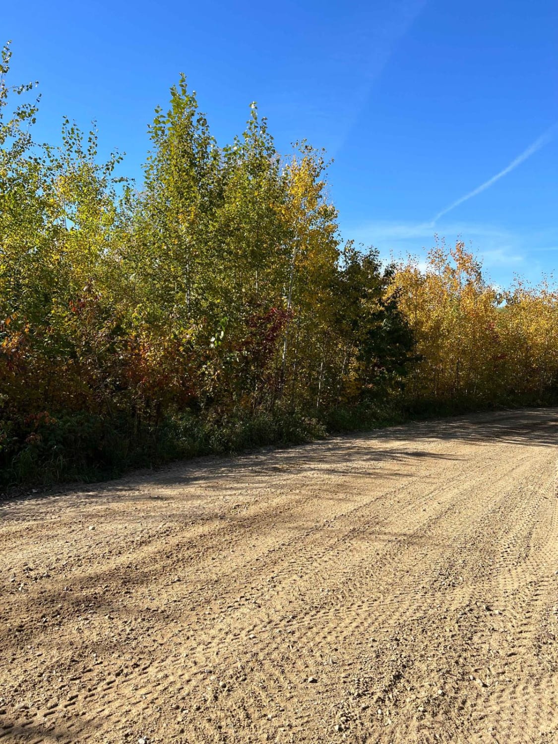
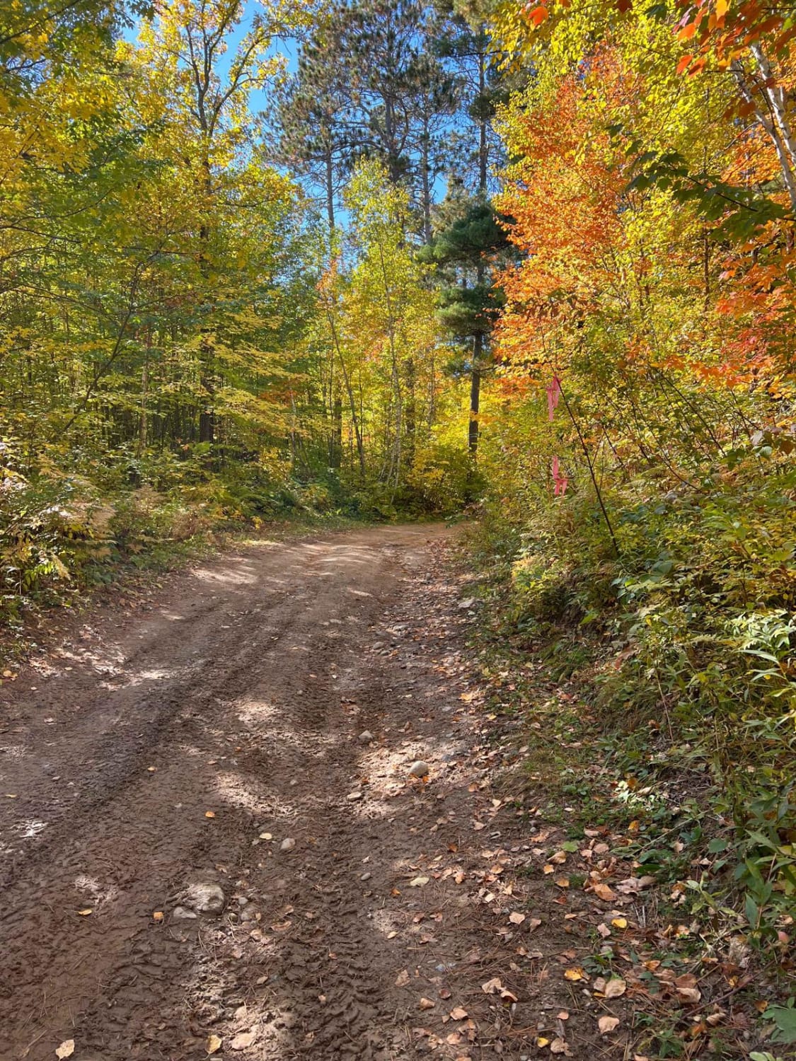
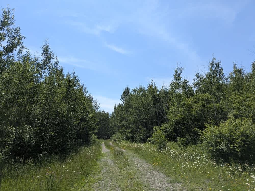
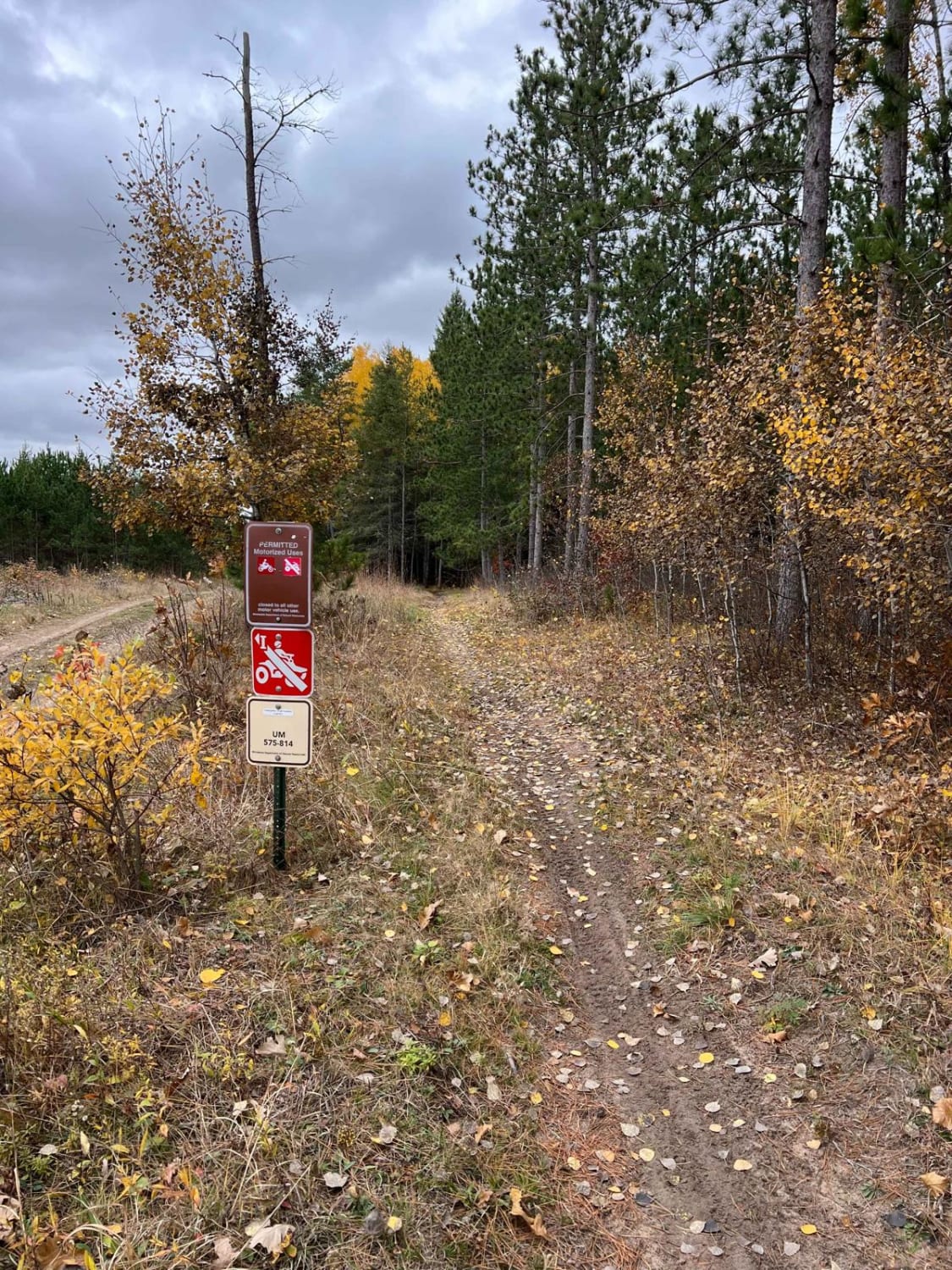
Trail Overview
This trail is about one SxS wide and that is overall quite easy. There are a few rocky sections but these are short-lived. When starting the trail, it will feel a lot like a forest road but it gets narrower as you continue on. General Note on Trail Riding in MN: Many trails heavily change in difficulty depending on the time of the year, weather conditions, and proximity to the trailhead. These areas have lots of birch trees which will routinely drop over trails. Many local clubs tend to the trails but there may be obstacles that come up if there was a thunderstorm the week prior. Rain and snow can also heavily change the trails as often rutted trails get more washed out, puddles become deeper, mud is stickier, and rocks/roots become slippery. The time of year can also dramatically change the landscape. Some trails that seem wide open after fall can be very dense and narrow before leaves begin to fall. Once birch leaves have fallen, trails become unpredictable as everything is covered by the leaves except larger obstacles. I have also seen a black bear once so it may be advantageous to carry some bear spray as a precaution but for many years it only happened once and just by dumpsters.
Photos of Paul Bunyan Round River Dr
Difficulty
On this trail you'll come across dirt, rock, and the occasional small water patch.
Paul Bunyan Round River Dr can be accessed by the following ride types:
- SxS (60")
- ATV (50")
- Dirt Bike
Paul Bunyan Round River Dr Map
Popular Trails

Axle Trap Connector
Mooseline Spur E

Break The Bank Connector
Huntersville East Central Loop
The onX Offroad Difference
onX Offroad combines trail photos, descriptions, difficulty ratings, width restrictions, seasonality, and more in a user-friendly interface. Available on all devices, with offline access and full compatibility with CarPlay and Android Auto. Discover what you’re missing today!