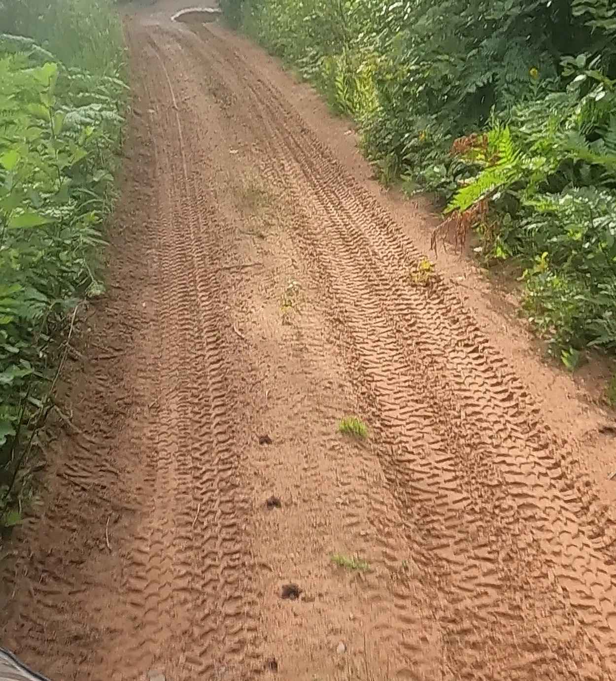
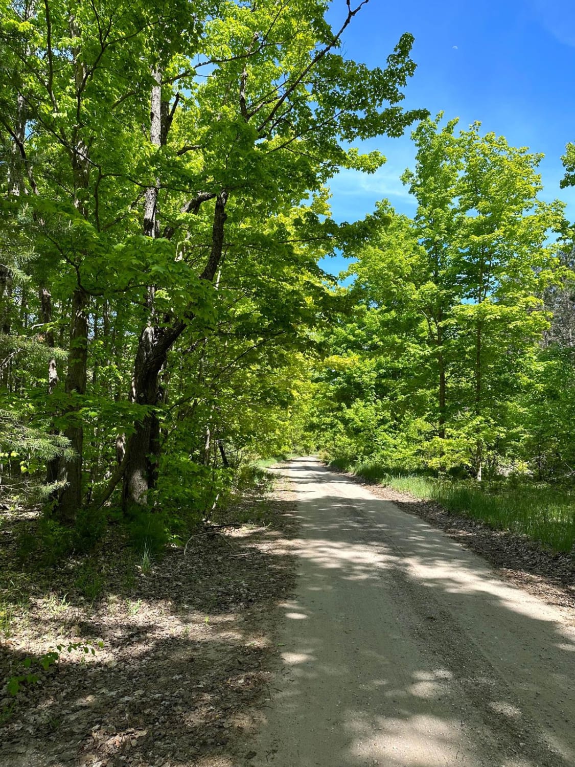
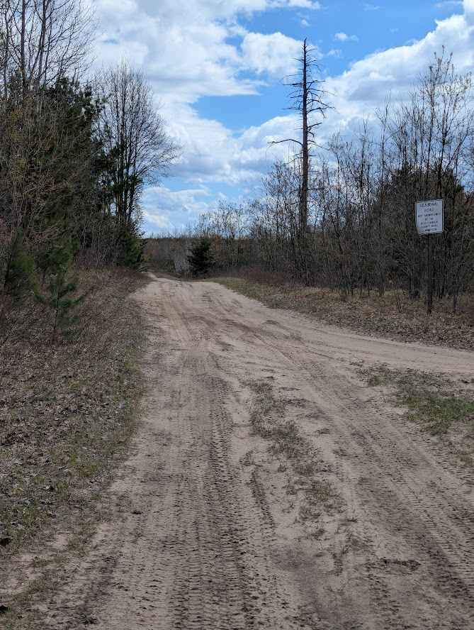
Off-Road Trails in Michigan
Discover off-road trails in Michigan
Learn more about ORV Route C- Gwinn Portion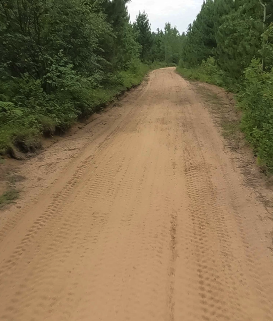
ORV Route C- Gwinn Portion
Total Miles
1.9
Tech Rating
Easy
Best Time
Spring, Summer, Fall
Learn more about ORV Route CE/Bay Mills - FS 4103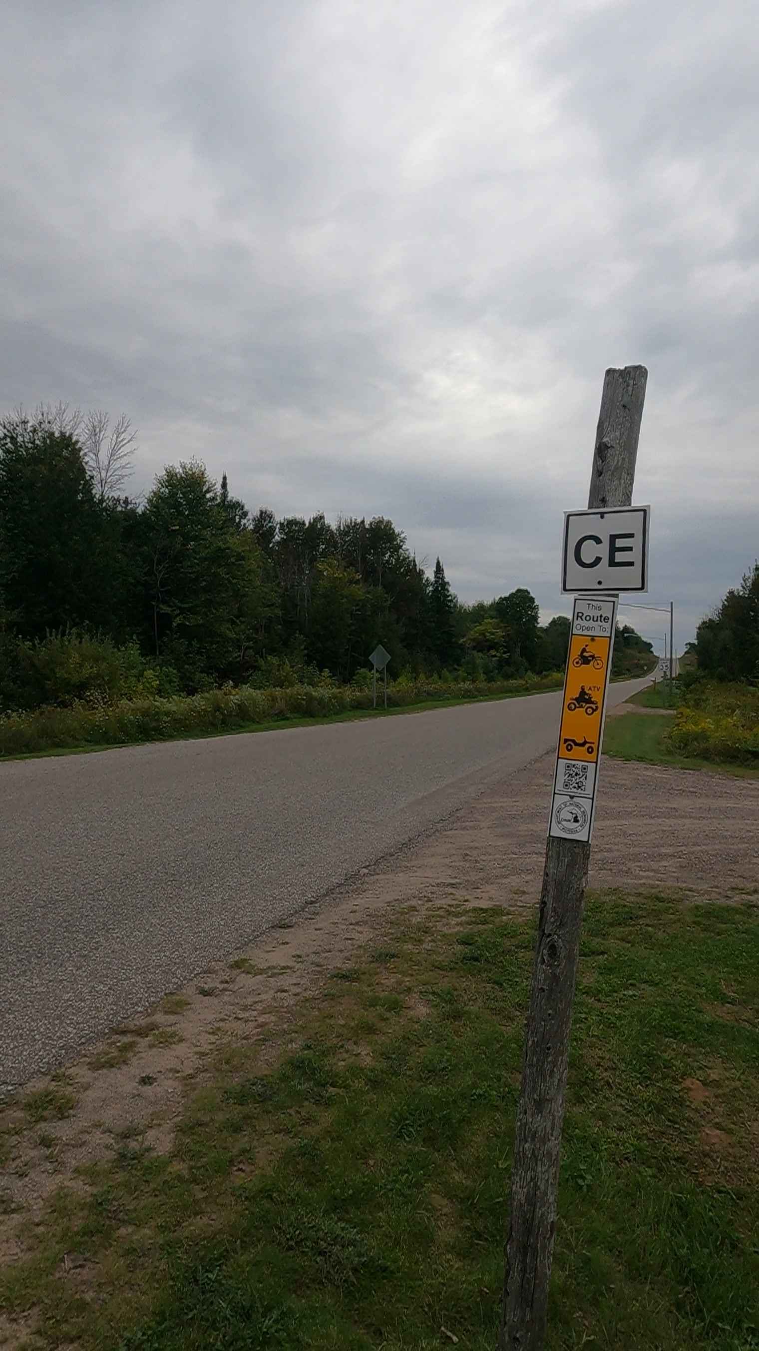
ORV Route CE/Bay Mills - FS 4103
Total Miles
2.2
Tech Rating
Easy
Best Time
Spring, Summer, Fall
Learn more about ORV Trail - 36282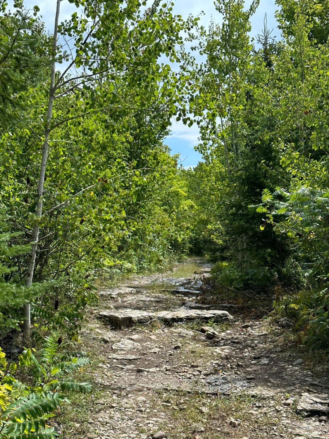
ORV Trail - 36282
Total Miles
0.7
Tech Rating
Moderate
Best Time
Summer, Fall
Learn more about Osceola Trail North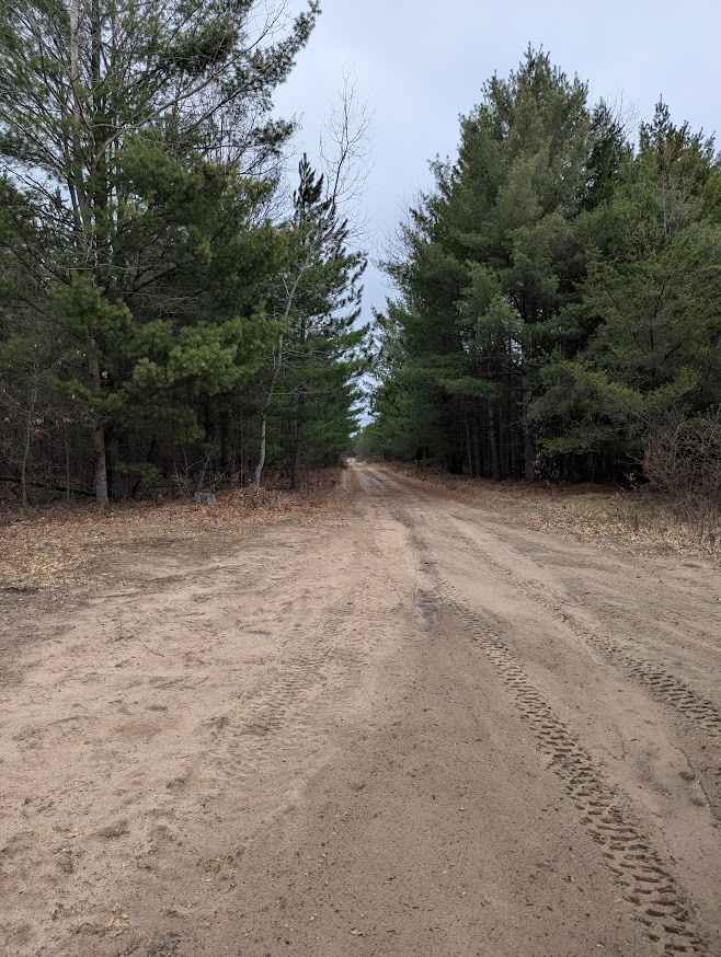
Osceola Trail North
Total Miles
1.3
Tech Rating
Easy
Best Time
Spring, Summer, Fall
Learn more about Osceola Trail South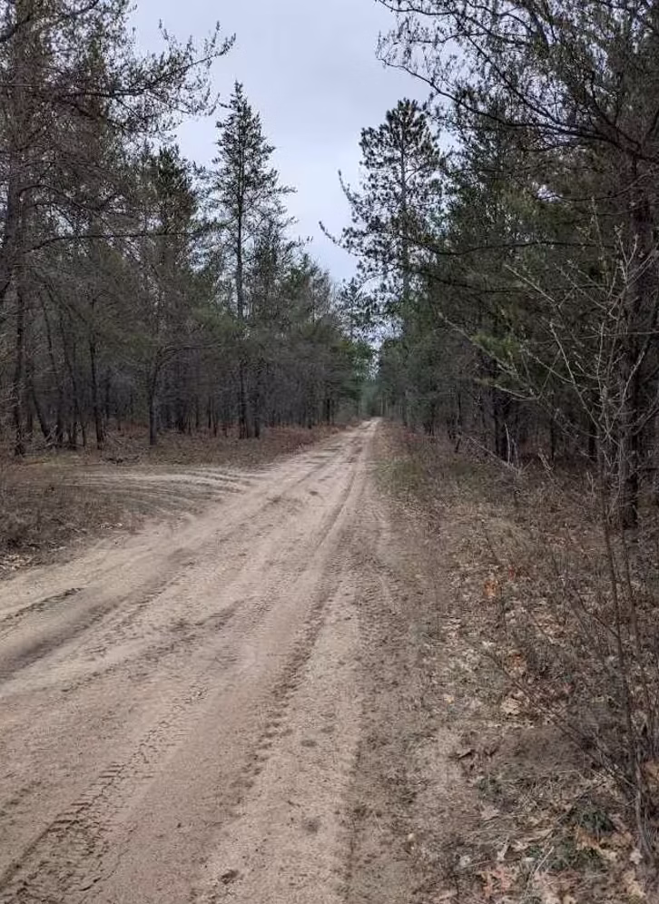
Osceola Trail South
Total Miles
2.4
Tech Rating
Easy
Best Time
Spring, Summer, Fall
Learn more about Oviatt Spur/Trail 3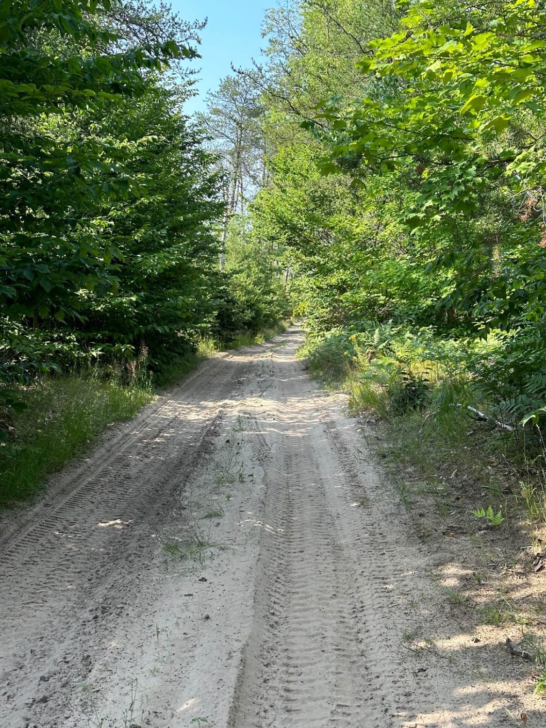
Oviatt Spur/Trail 3
Total Miles
2.4
Tech Rating
Easy
Best Time
Spring, Summer, Fall
Learn more about Oyster Road/4476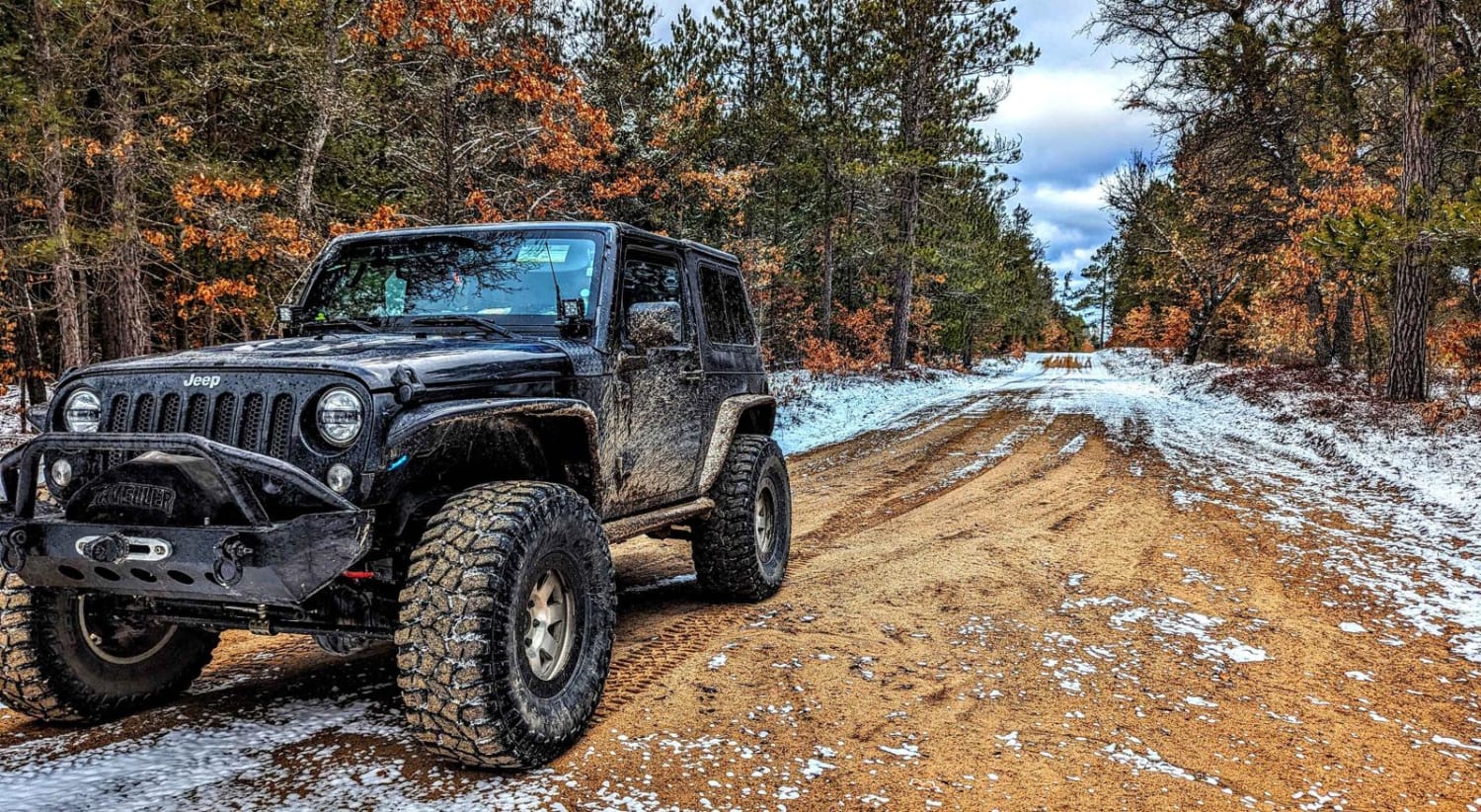
Oyster Road/4476
Total Miles
12.2
Tech Rating
Easy
Best Time
Spring, Summer, Fall
Learn more about Paquinn Creek Road/ Sand Lake Road - FS 3374 (ORV Route A)
Paquinn Creek Road/ Sand Lake Road - FS 3374 (ORV Route A)
Total Miles
5.8
Tech Rating
Easy
Best Time
Spring, Summer, Fall
Learn more about Path Less Traveled
Path Less Traveled
Total Miles
1.1
Tech Rating
Easy
Best Time
Spring, Summer, Fall
Learn more about Paul - FS 3058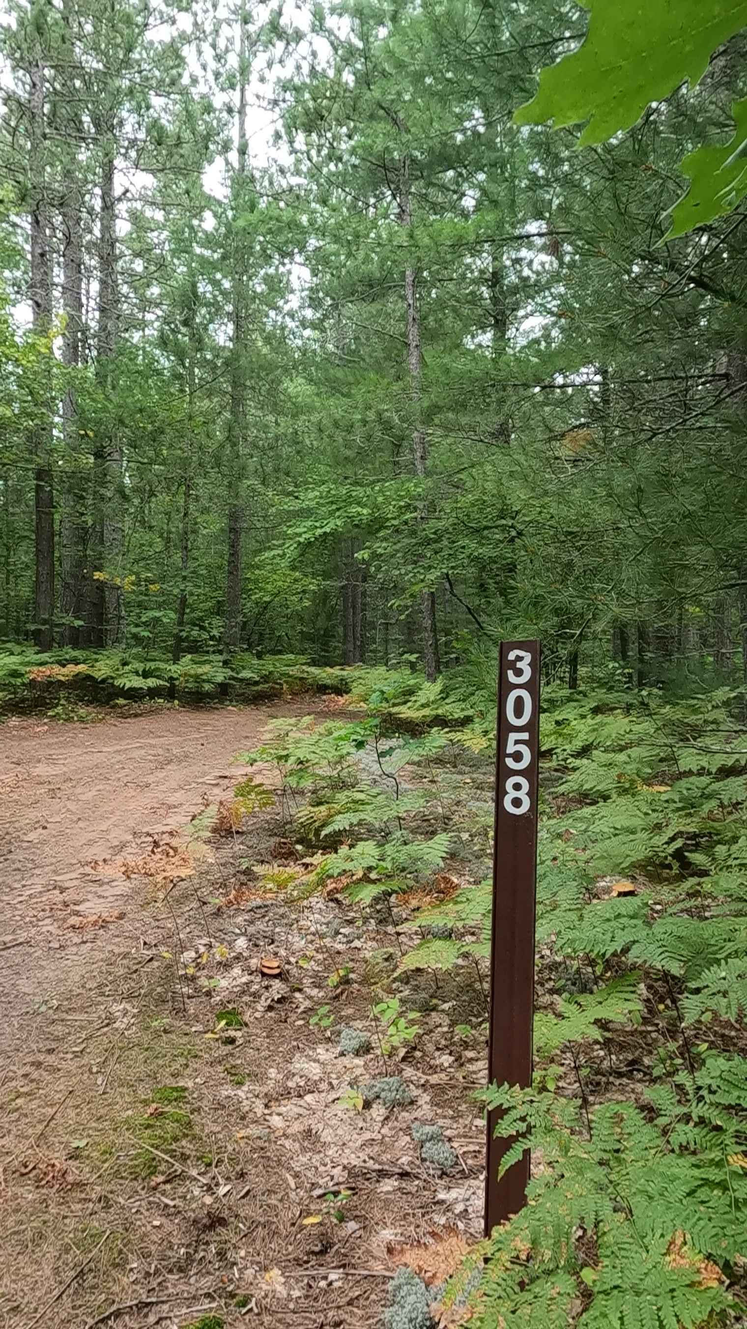
Paul - FS 3058
Total Miles
1.1
Tech Rating
Easy
Best Time
Spring, Summer, Fall

Learn more about Peastone Hill
Peastone Hill
Total Miles
0.1
Tech Rating
Difficult
Best Time
Spring, Summer, Fall
Learn more about Peet Road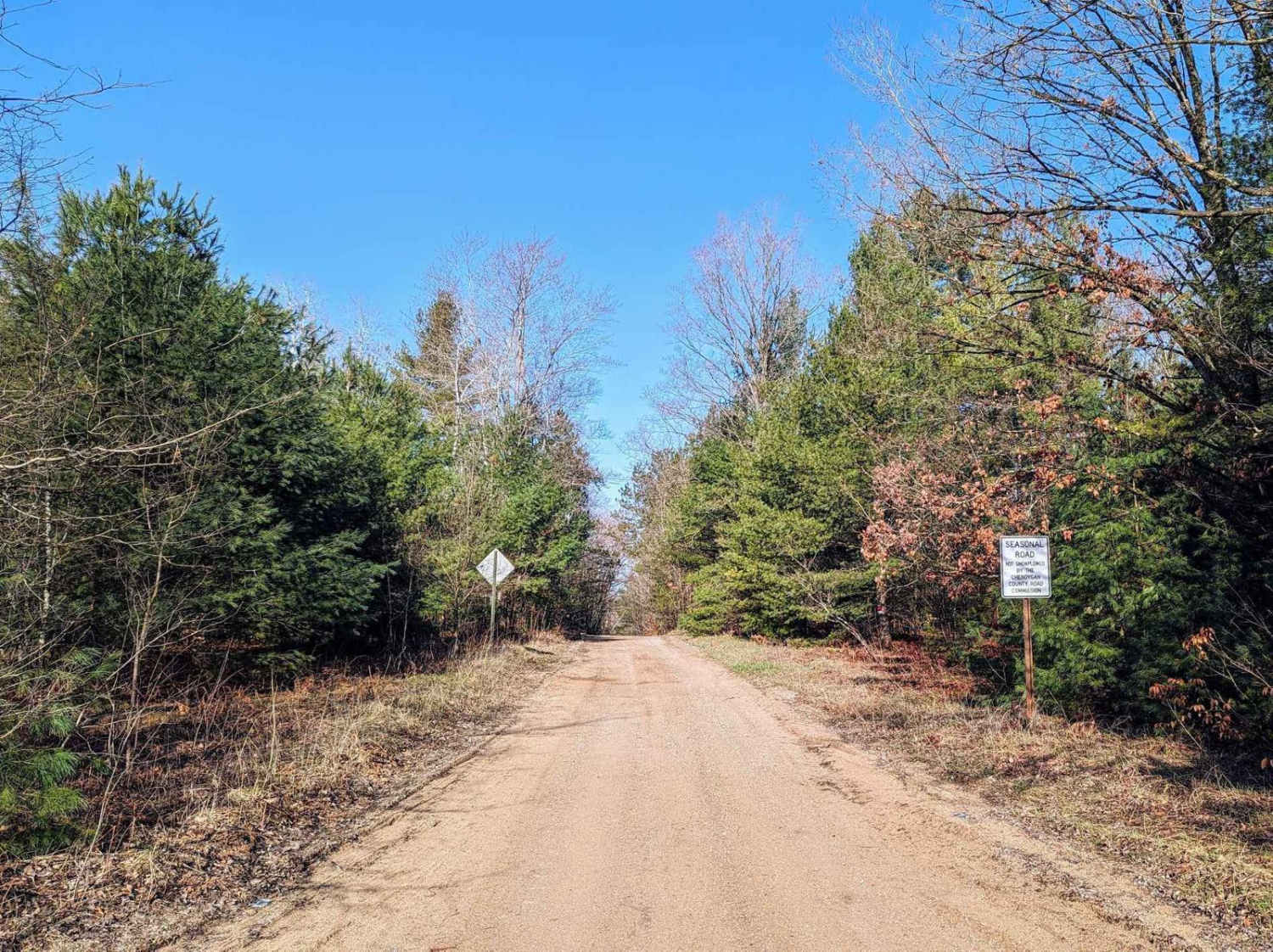
Peet Road
Total Miles
6.3
Tech Rating
Easy
Best Time
Spring, Summer, Fall, Winter
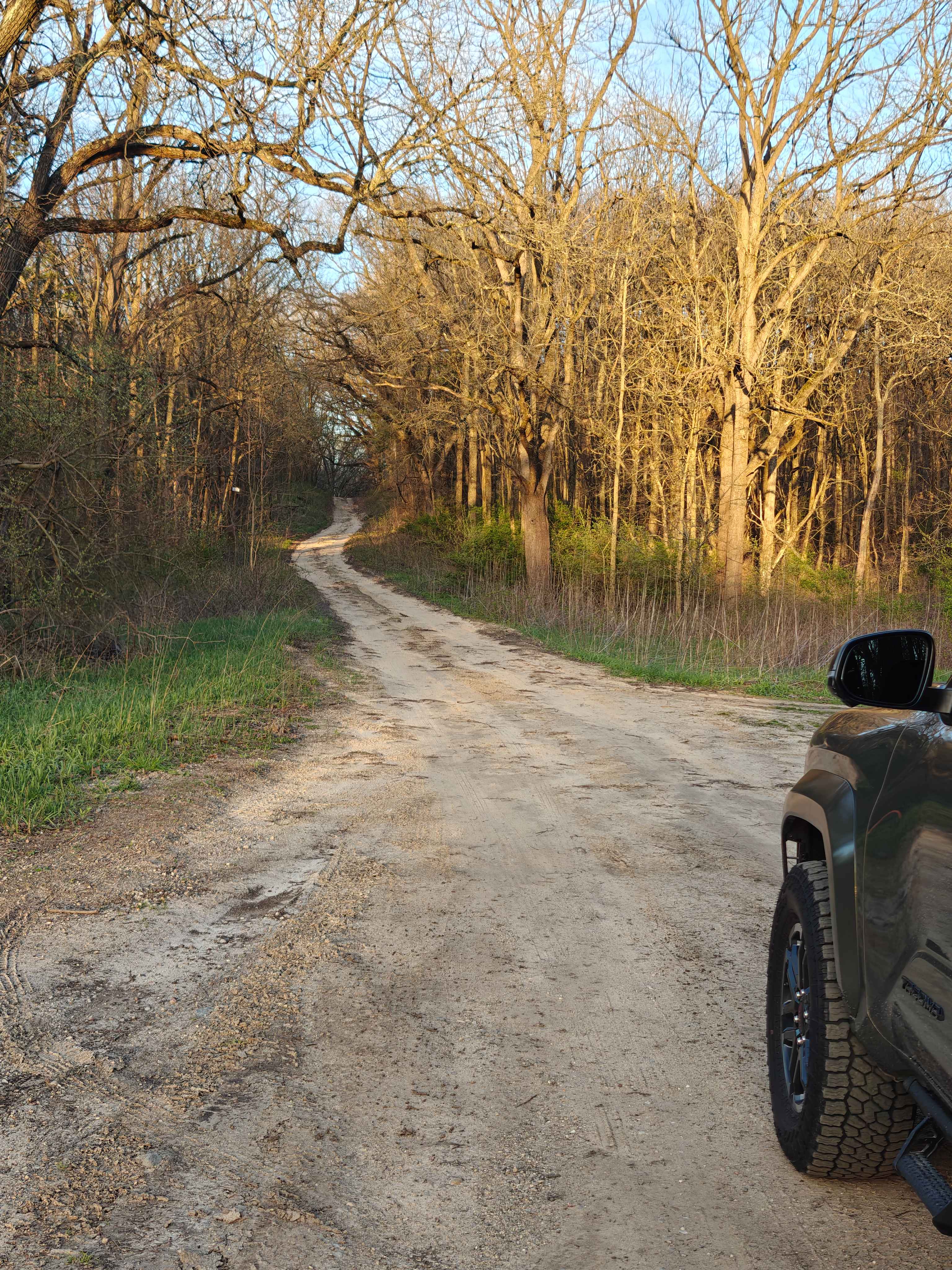
ATV trails in Michigan
Learn more about 1039 Pine Trail
1039 Pine Trail
Total Miles
0.6
Tech Rating
Easy
Best Time
Spring, Summer, Fall, Winter
Learn more about 115th Avenue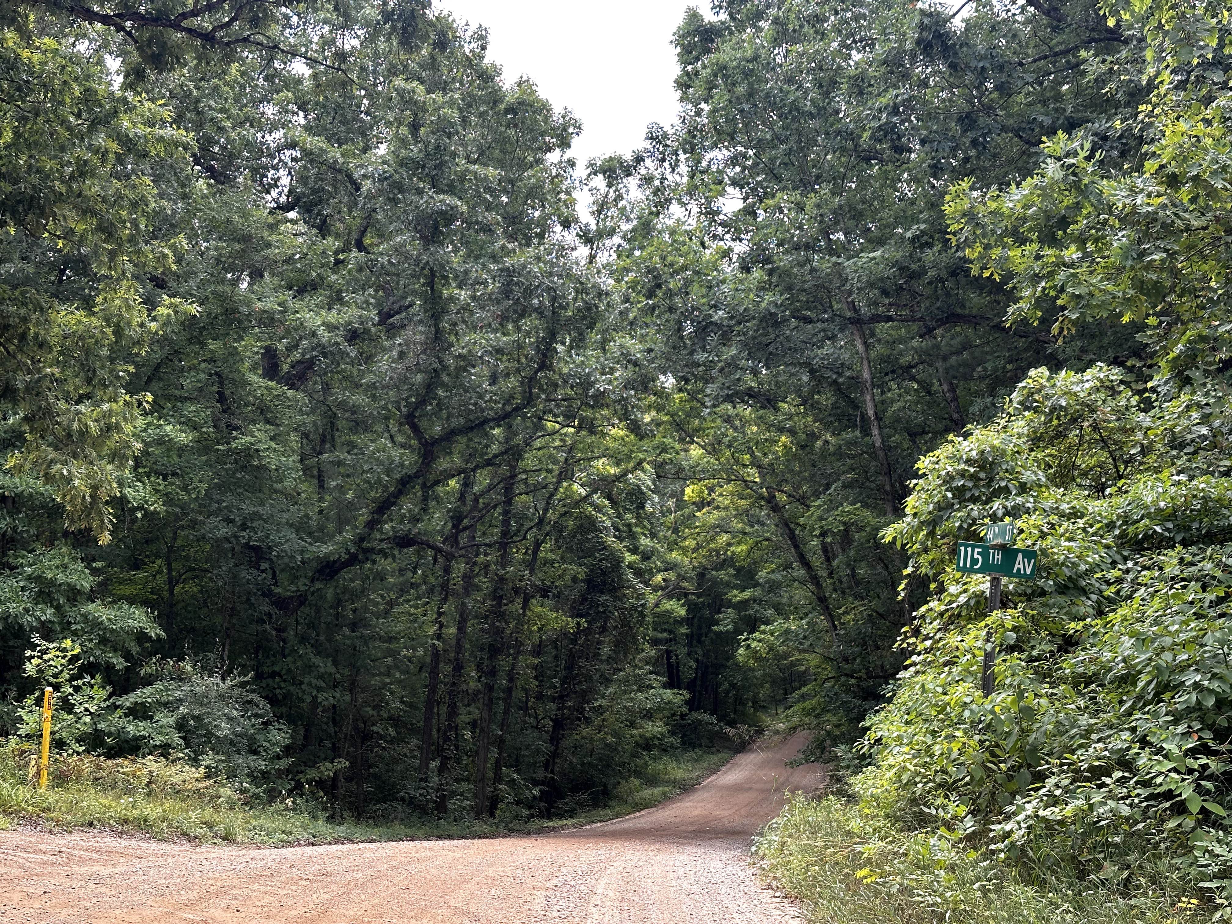
115th Avenue
Total Miles
3.0
Tech Rating
Easy
Best Time
Spring, Summer, Winter, Fall
Learn more about 116th Avenue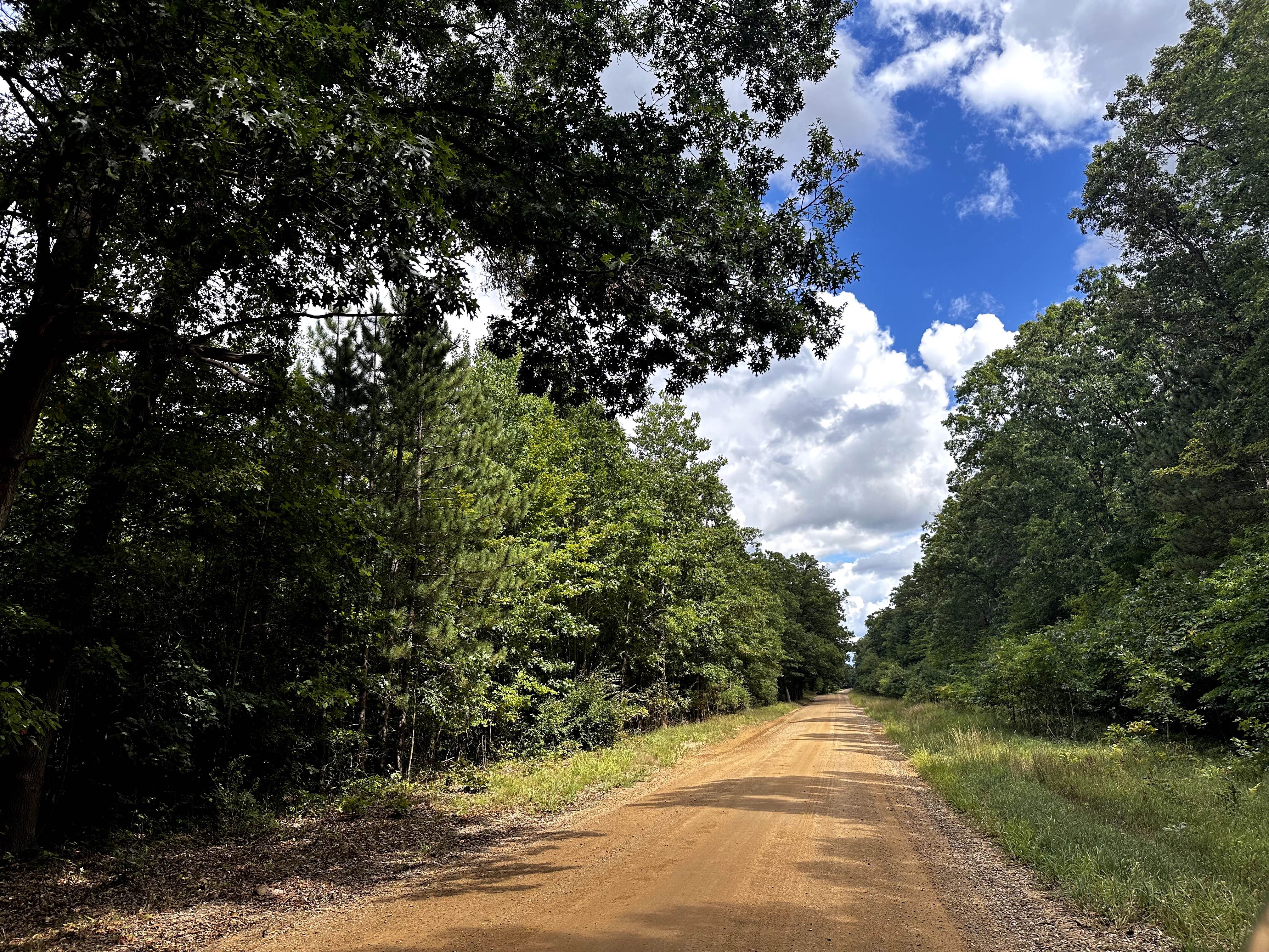
116th Avenue
Total Miles
5.0
Tech Rating
Easy
Best Time
Spring, Summer, Fall, Winter
Learn more about 126th Avenue
126th Avenue
Total Miles
3.1
Tech Rating
Easy
Best Time
Spring, Summer, Fall, Winter
UTV/side-by-side trails in Michigan
Learn more about 1039 Pine Trail
1039 Pine Trail
Total Miles
0.6
Tech Rating
Easy
Best Time
Spring, Summer, Fall, Winter
Learn more about 115th Avenue
115th Avenue
Total Miles
3.0
Tech Rating
Easy
Best Time
Spring, Summer, Winter, Fall
Learn more about 116th Avenue
116th Avenue
Total Miles
5.0
Tech Rating
Easy
Best Time
Spring, Summer, Fall, Winter
Learn more about 126th Avenue
126th Avenue
Total Miles
3.1
Tech Rating
Easy
Best Time
Spring, Summer, Fall, Winter
The onX Offroad Difference
onX Offroad combines trail photos, descriptions, difficulty ratings, width restrictions, seasonality, and more in a user-friendly interface. Available on all devices, with offline access and full compatibility with CarPlay and Android Auto. Discover what you’re missing today!