ORV Route BI
Total Miles
2.9
Technical Rating
Best Time
Spring, Summer, Fall
Trail Type
60" Trail
Accessible By
Trail Overview
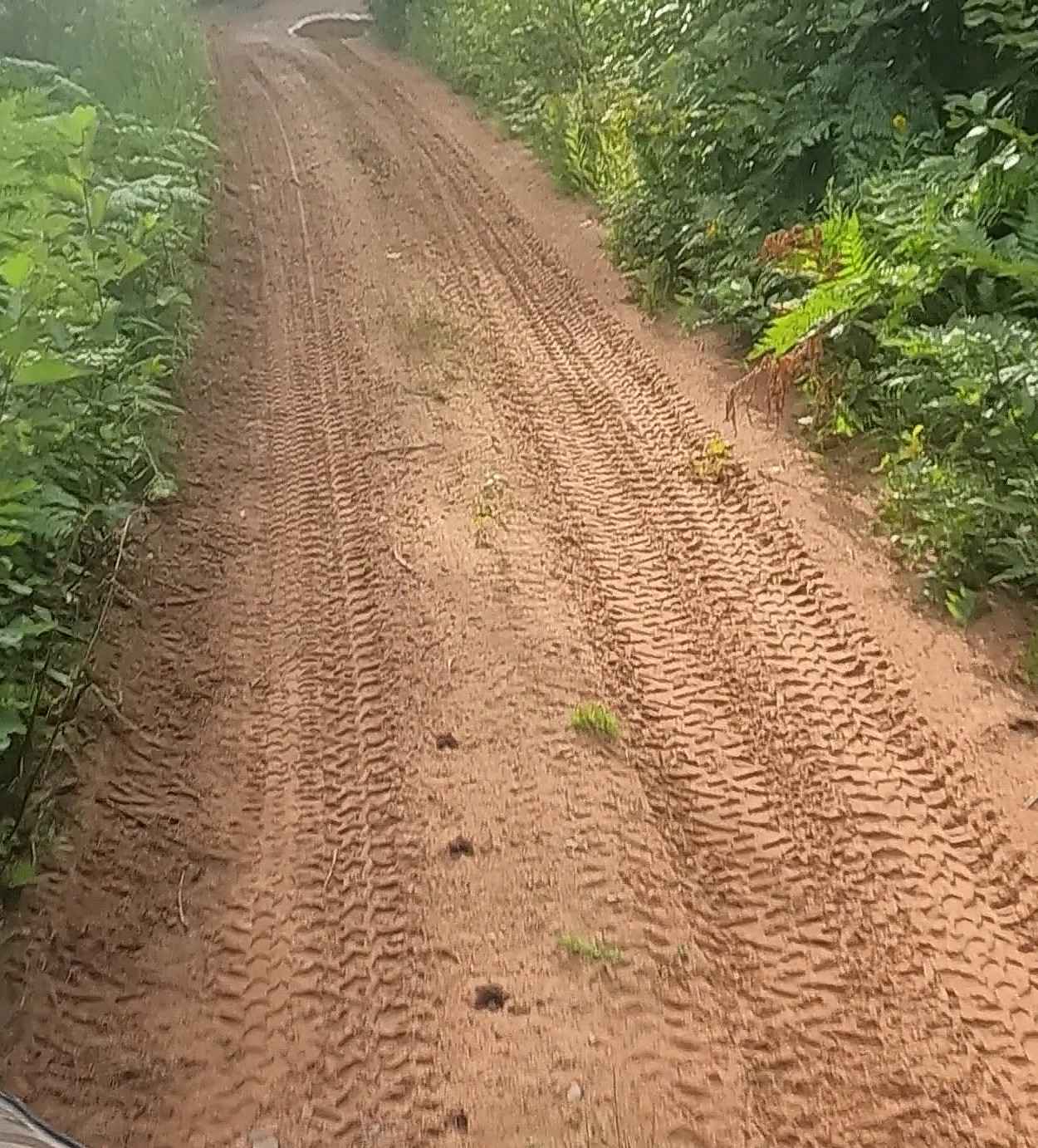
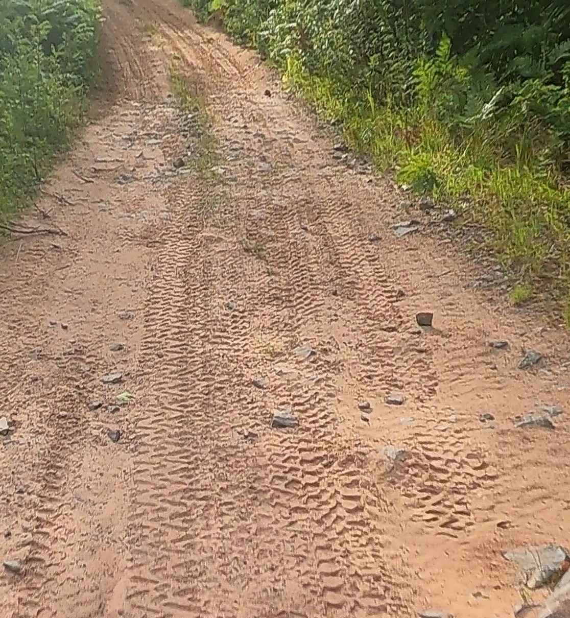
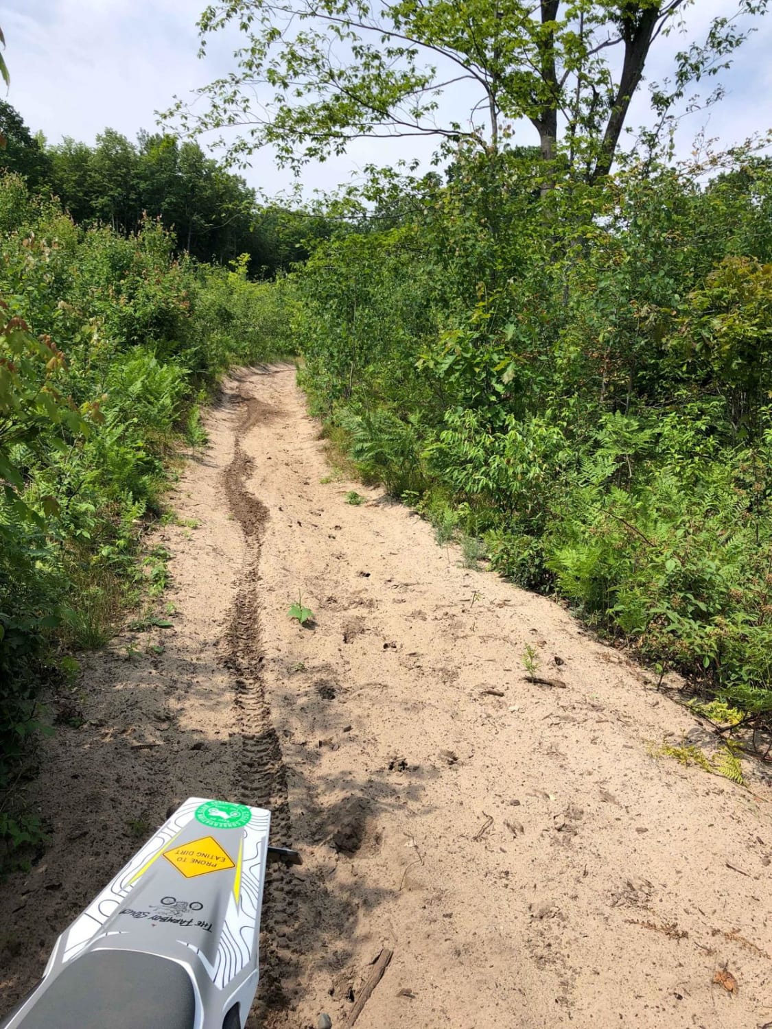
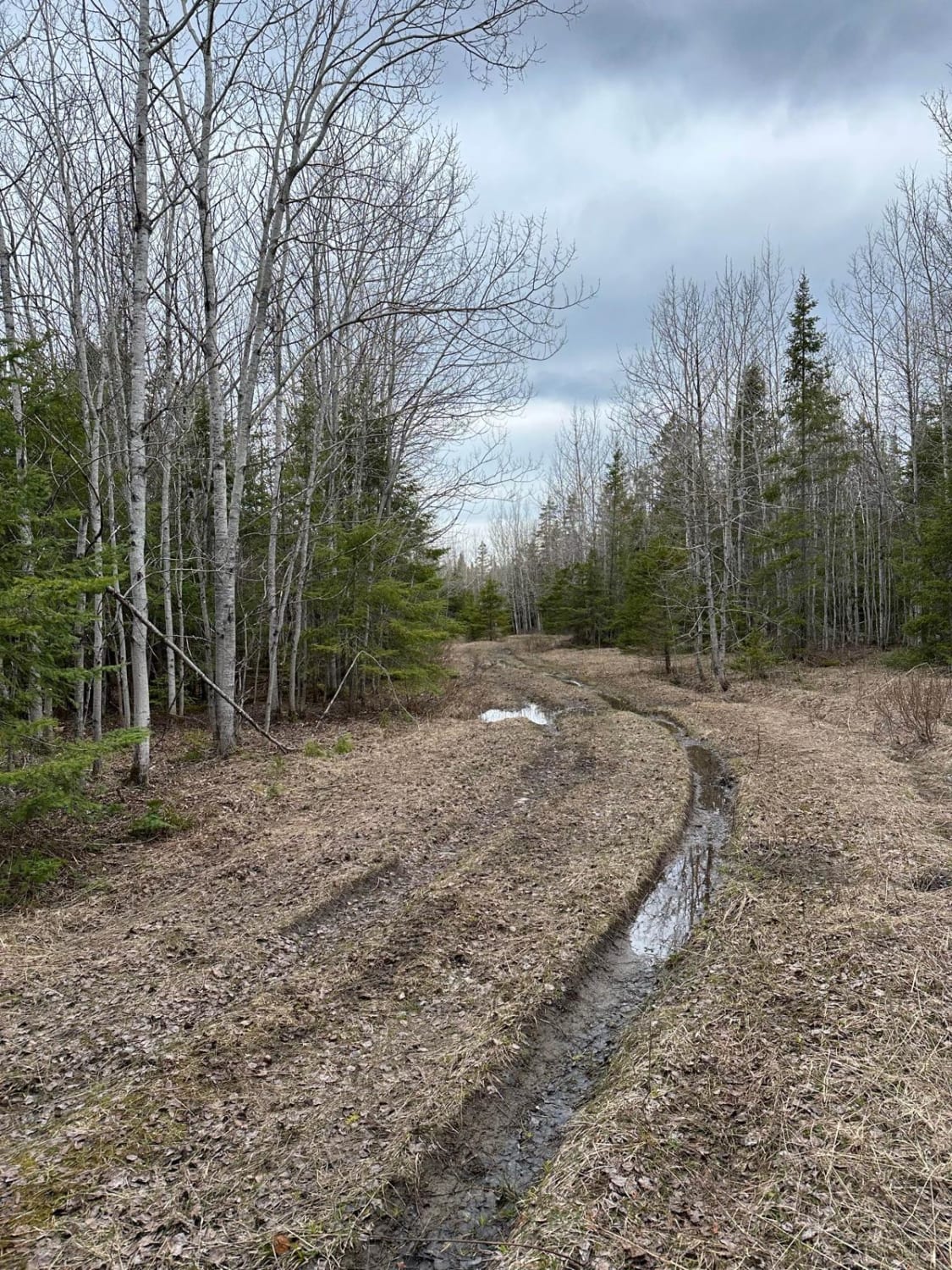
ORV Route BI is an open segment measuring approximately 2.23 miles in length. The route has a width greater than 12 feet and features a surface composed of dirt, sand, and native material. This route is seasonally restricted to side-by-side ORVs that are 65 inches or less in width and to ATVs. These vehicles are permitted on the route from May 1 through November 1. Motorcycles are not allowed at any time. The trail is maintained by the Keweenaw ATV Club for ORV use and by Keweenaw Trails Services, Inc. for snow operations.
Photos of ORV Route BI
Difficulty
Uneven, rutted dirt trail with potential for loose rocks and sandy washes. Water crossings are less than a foot deep. Potential for mud holes and trail obstacles up to 12 inches, including ledges and short, steep grades. Roads are typically one vehicle wide with places to pass.
History
Lac La Belle, Michigan, was historically significant as a copper mining center with a stamping plant for the Delaware and Mendota Mines in the mid-1800s. A canal was dug to connect the lake to Lake Superior, enabling ore boats to load and transport copper and lumber. The mining industry peaked around 1900 but declined significantly after a major strike in 1913, with the last mine closing in 1968. Today, the area is a resort town known for its natural beauty, with the historic Mendota/Bete Grise Lighthouse still standing. Early Mining and Copper Industry: Mining Operations: In its 19th-century heyday, Lac La Belle served as the location for the stamping plants of the Delaware and Mendota copper mines, processing copper-bearing rock. Transportation Hub: A canal was constructed to link Lac La Belle with Lake Superior, creating a hub of activity for ships transporting copper and lumber. Infrastructure: A smelting and stamp mill was built near Mt. Bohemia, and a railroad was constructed to connect the area to other mining operations throughout the Keweenaw Peninsula. Decline and Transition to a Resort: Copper Country Strike: The region's economy, which had thrived by the 1880s, suffered a decline after the calamitous Copper Country Strike of 1913-1914. Closure of Mines: The last mine in the Keweenaw region officially closed in 1968, marking the end of the area's primary industry. The area transitioned from an industrial center to a picturesque resort town, becoming known for its natural beauty and attracting visitors to the area's attractions and the marina owned by the State of Michigan. Historic Landmarks: Mendota/Bete Grise Lighthouse: The lighthouse at the mouth of the canal, built to mark the entrance, still stands today as a testament to the area's mining past. Keweenaw Central Railroad: Remnants of the steamboat wharf and the railroad line that once served the mines can still be seen at Mendota, the historic village at Lac La Belle.
Status Reports
ORV Route BI can be accessed by the following ride types:
- SxS (60")
- ATV (50")
- Dirt Bike
ORV Route BI Map
Popular Trails
MCCCT - 66 to North 7 Mile
The onX Offroad Difference
onX Offroad combines trail photos, descriptions, difficulty ratings, width restrictions, seasonality, and more in a user-friendly interface. Available on all devices, with offline access and full compatibility with CarPlay and Android Auto. Discover what you’re missing today!