Trail Overview
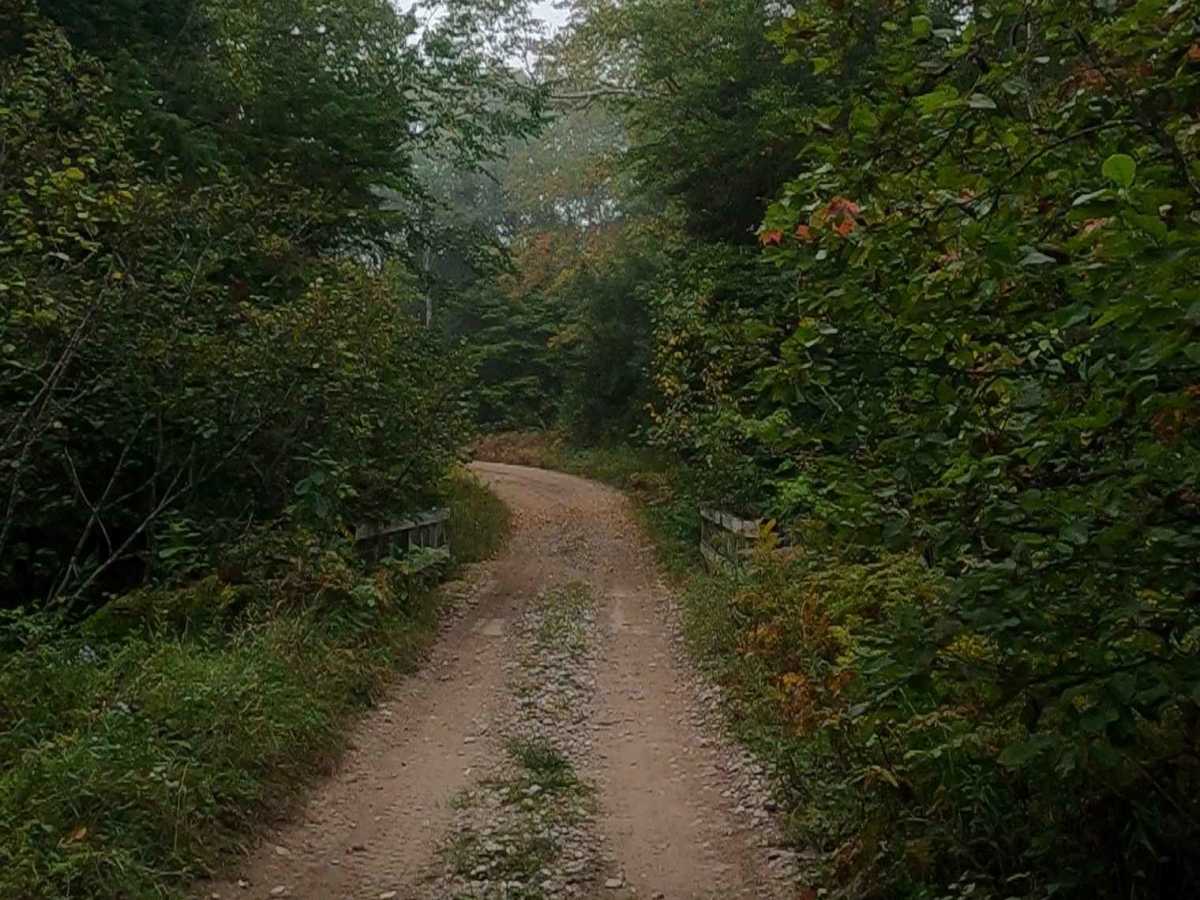
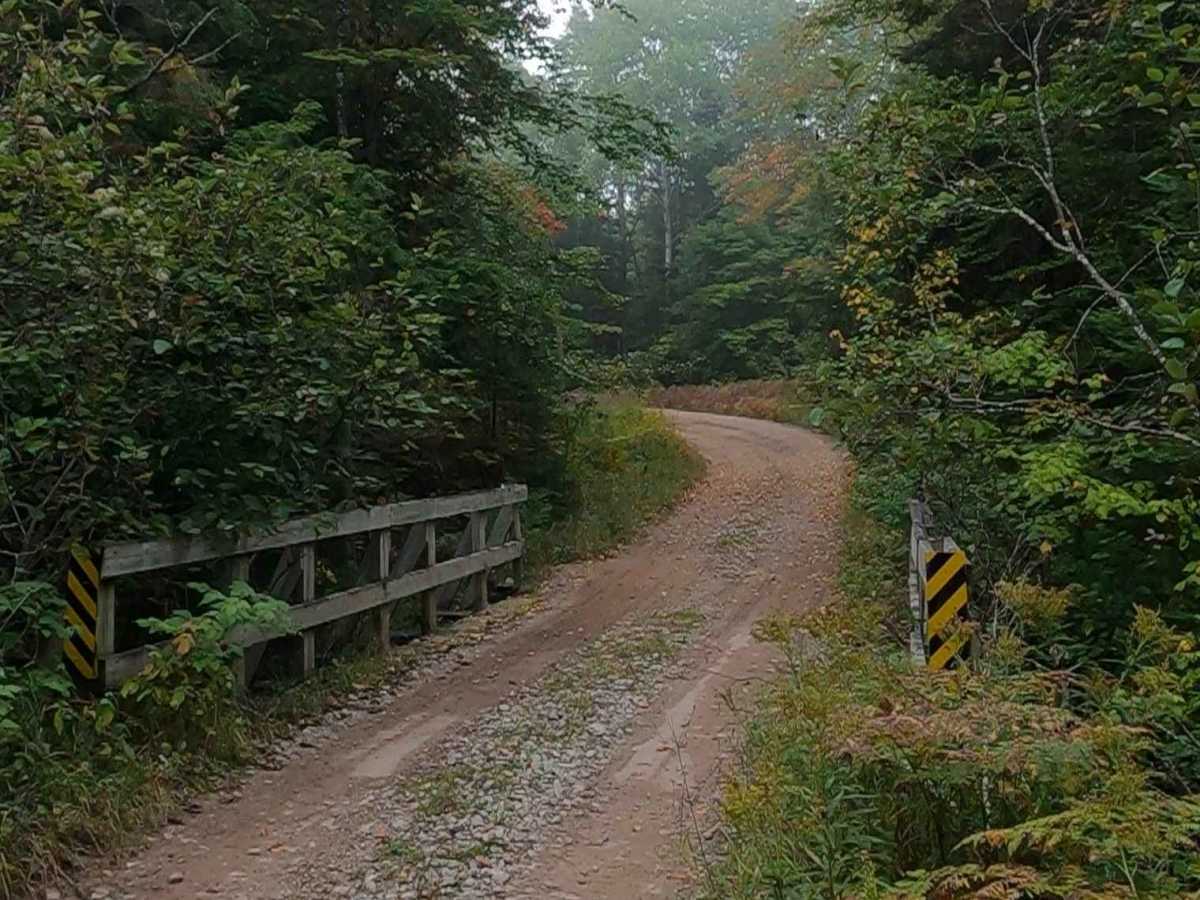
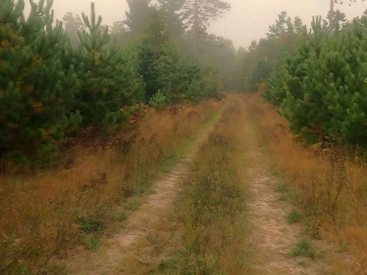
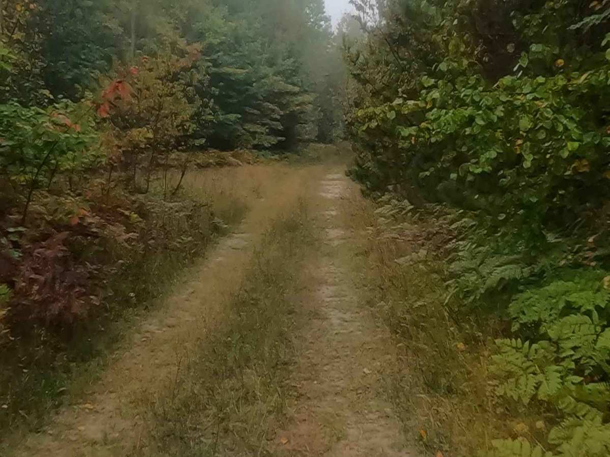
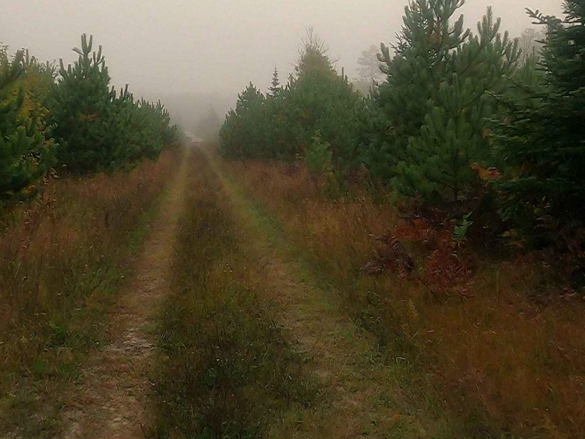
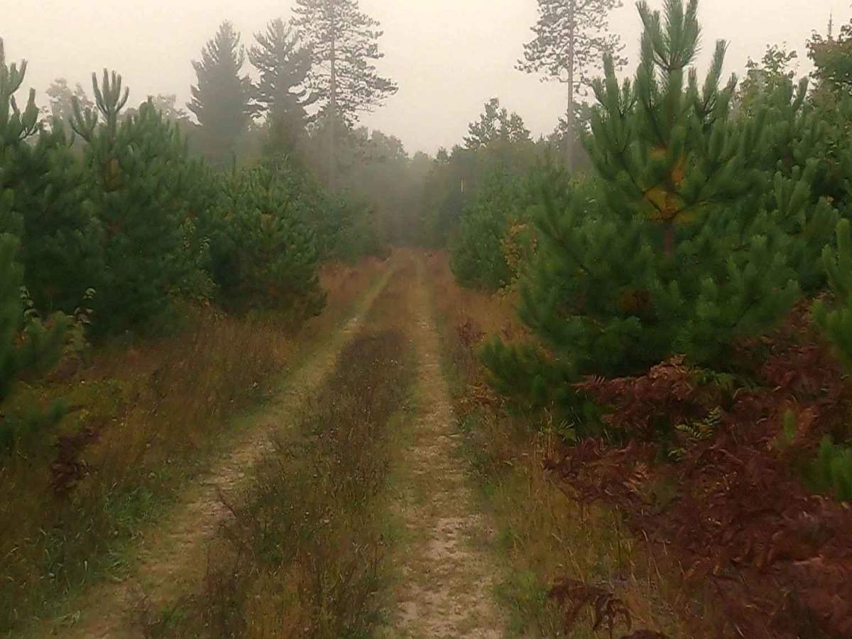
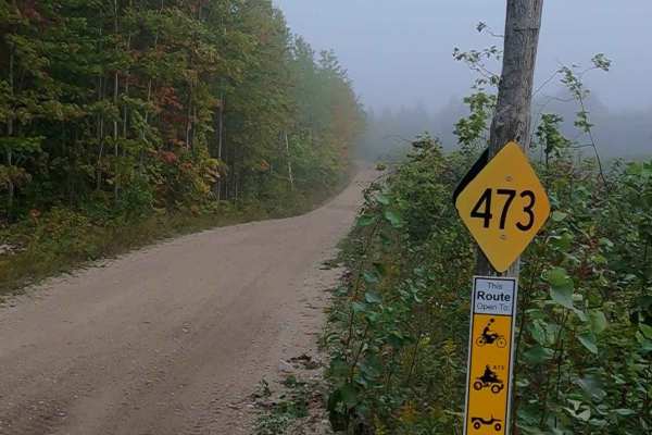
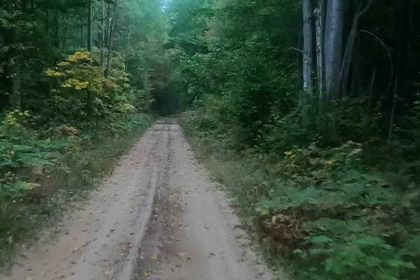
Forest Service Road 3374 - Paquinn Creek Road/ Sand Lake Road is a state-owned/ locally maintained, Level-2/ Level-3 Secondary Forest Road with a surface composition of dirt, sand, gravel, and native material. This route is currently open and in fair condition. A majority of this road is a DNR route (ORV use is subject to local government regulations) known as ORV Route A and connects ORV Route A- Epoufette to Hog Island Road. Description created on September 18, 2025.
Difficulty
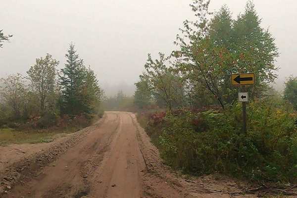
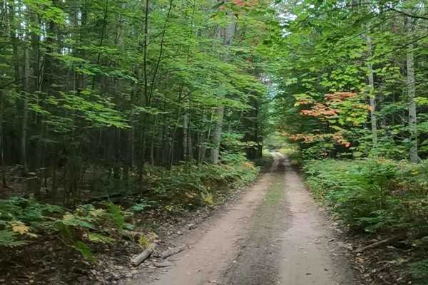
Sand, dirt, gravel road, unmaintained after rain or snow that may give rise to shallow water crossings and obstacles under 12 inches on the trail, including small branches. This road is a "Two Track" path that is typically one vehicle in width.
History
Paquin Creek, located in the small fishing village of Epoufette, Michigan, is a historic waterway, with the area surrounding it settled by French-Canadian, Irish, and Native American families in the 19th century. The creek runs near the historic Epoufette Cemetery, which has maintained burials since 1887. The area surrounding Paquin Creek and Epoufette Bay has served as a fishing and logging hub for over a century. The name Paquin likely stems from early families, such as the Paquins and LaRoques, who migrated to the region in the late 19th century, with many families establishing roots in the St. Ignace and Epoufette area around the 1880s.