Trail Overview
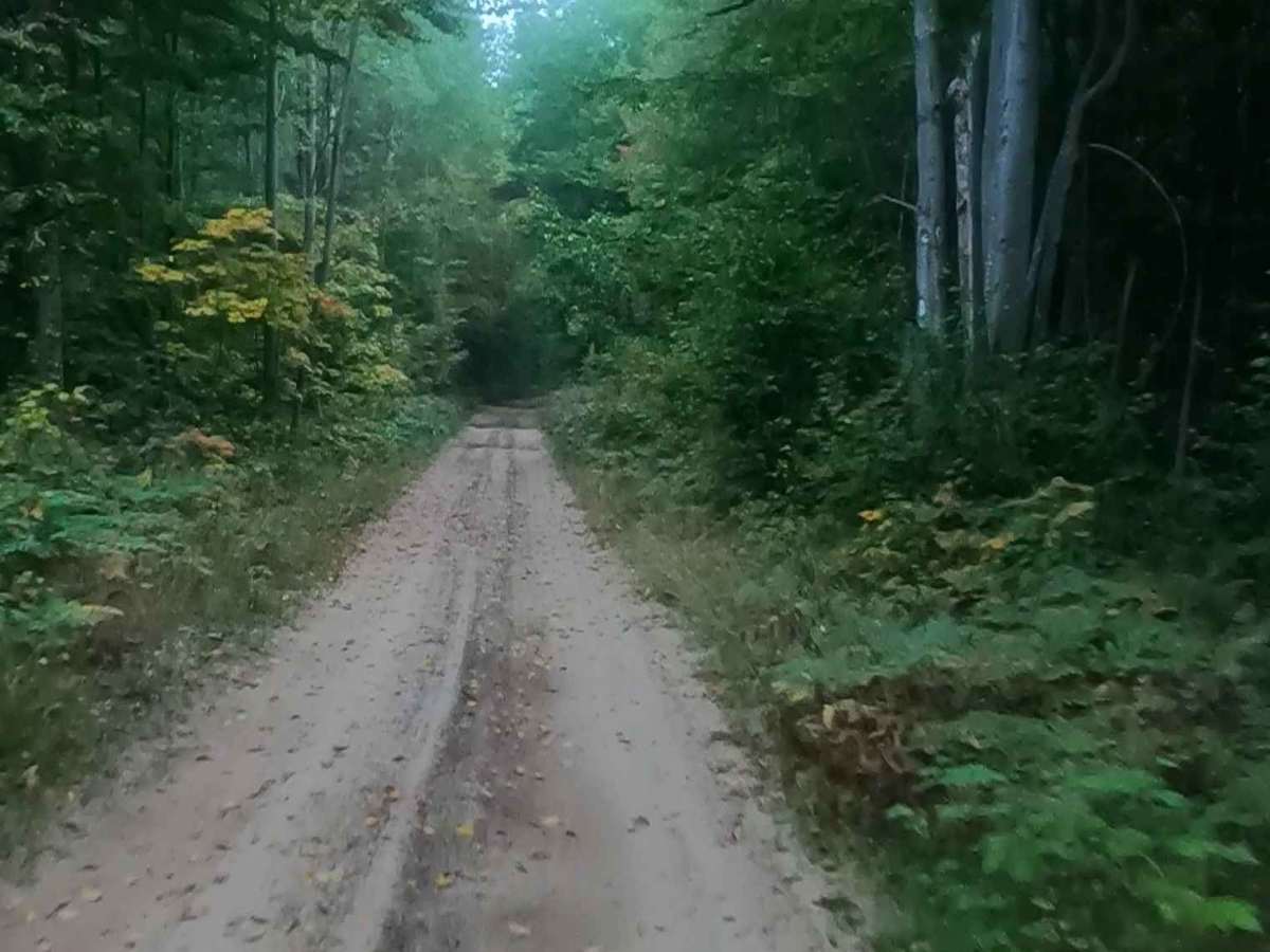
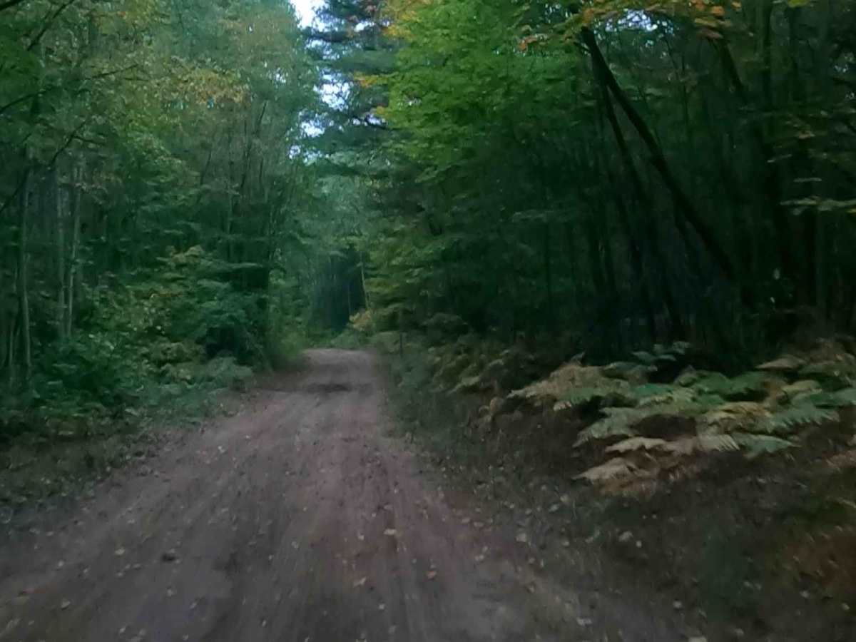
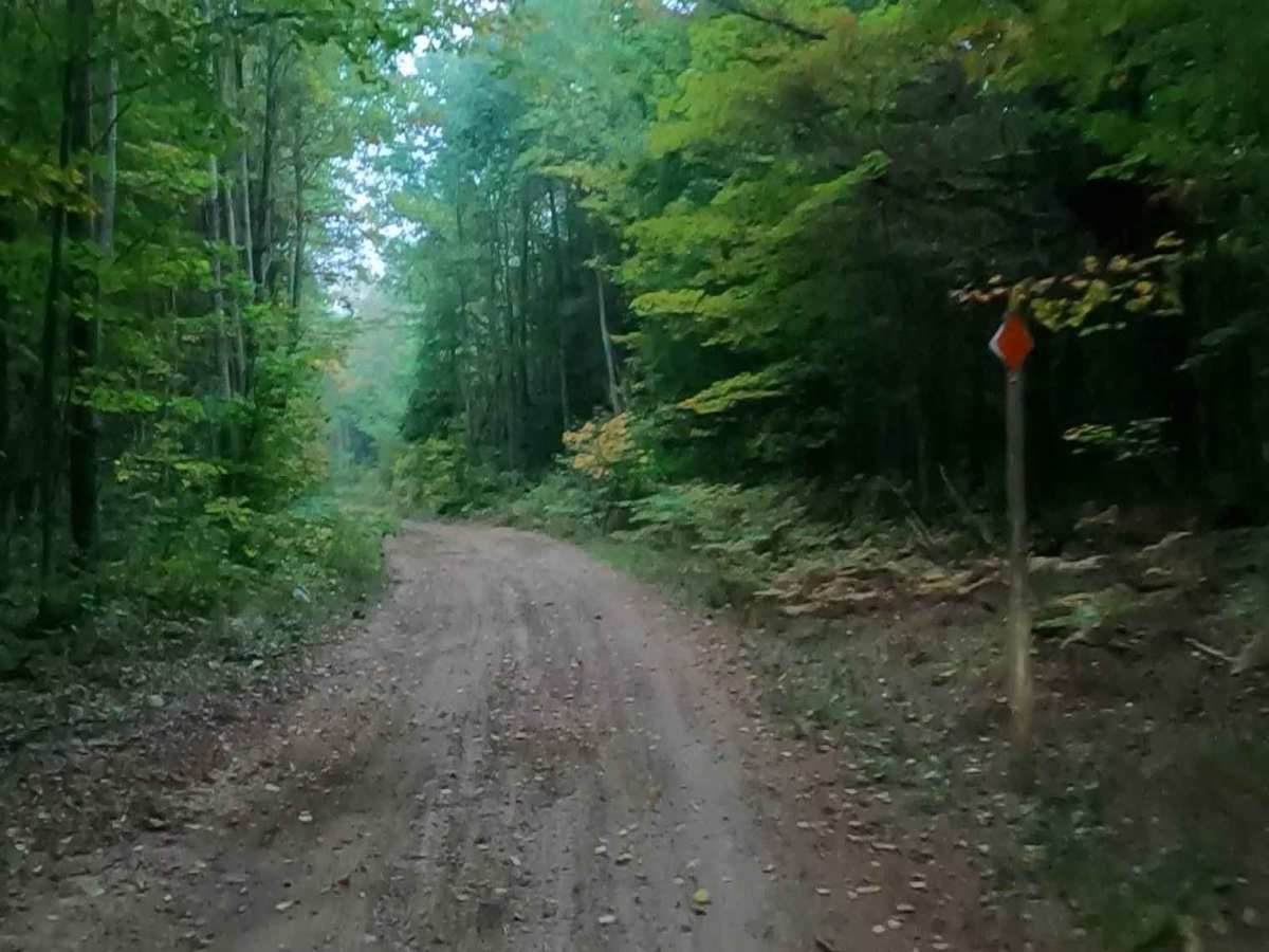
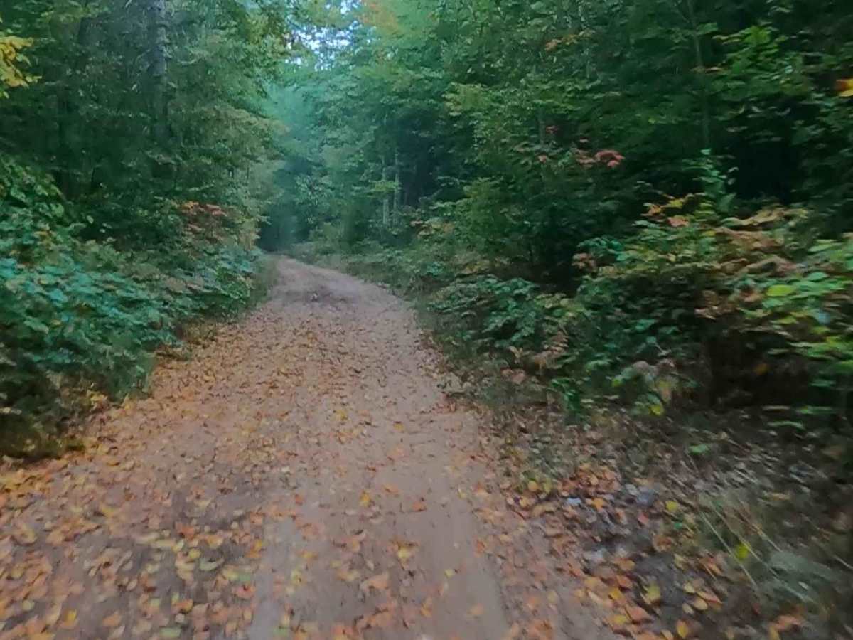
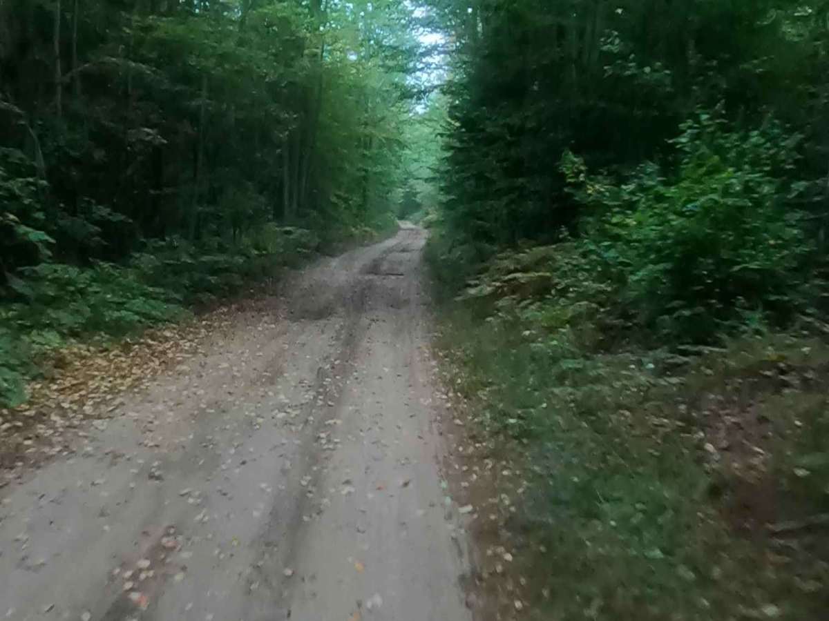
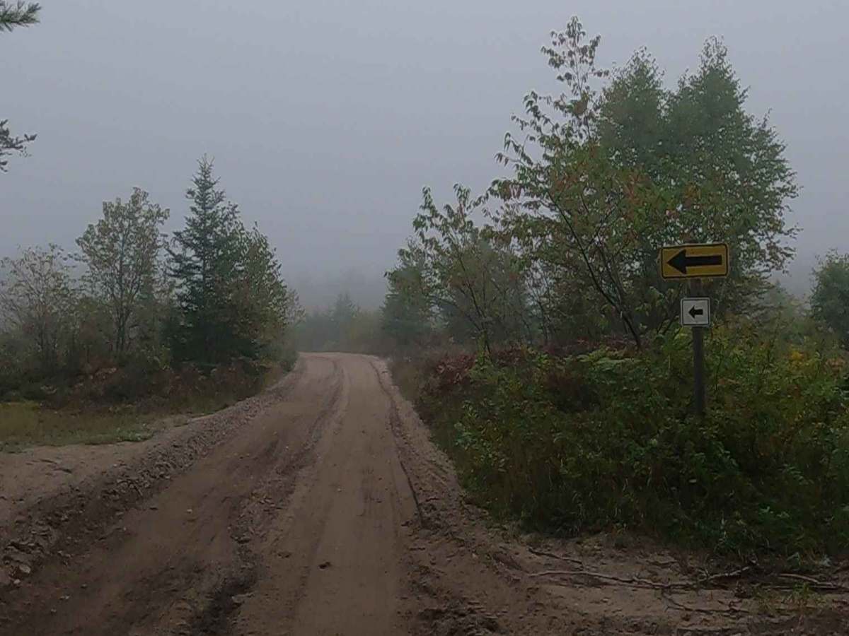
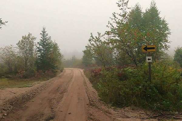
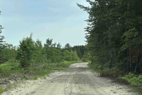
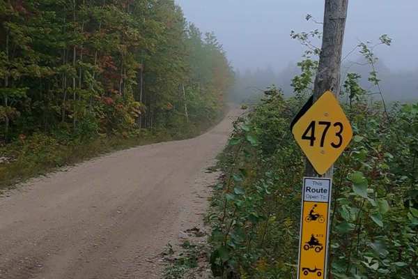
Prout Road is a state-owned/ locally maintained, Level-2/ Level-3 Secondary Forest Road with a surface composition of dirt, sand, gravel, and native material. This route is currently open and in fair condition. A portion of this road is a DNR route (ORV use is subject to local government regulations) known as ORV Route A and connects Cut River Road to the Hiawatha Trail. Description created on September 18, 2025.
Difficulty
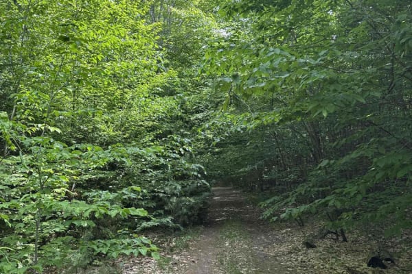
Sand, dirt, gravel road, unmaintained after rain or snow that may give rise to shallow water crossings and obstacles under 12 inches on the trail, including small branches. This road is a "Two Track" path that is typically one vehicle in width.
History
Epoufette, Michigan, is a historic, unincorporated fishing village located along U.S. Route 2. Known for its scenic views of Lake Michigan and proximity to the Cut River Bridge, the community’s history is deeply rooted in commercial fishing, French-Canadian heritage, and early lumbering. The name "Epoufette" is believed to be derived from early French settlers, translating to "a place of rest". Tradition suggests that Father Jacques Marquette used the harbor as a resting place while traveling down Lake Michigan, roughly 200 years before the village was officially settled. The area was first settled around 1848 when government surveyor John R. McLeod established an Indian village.