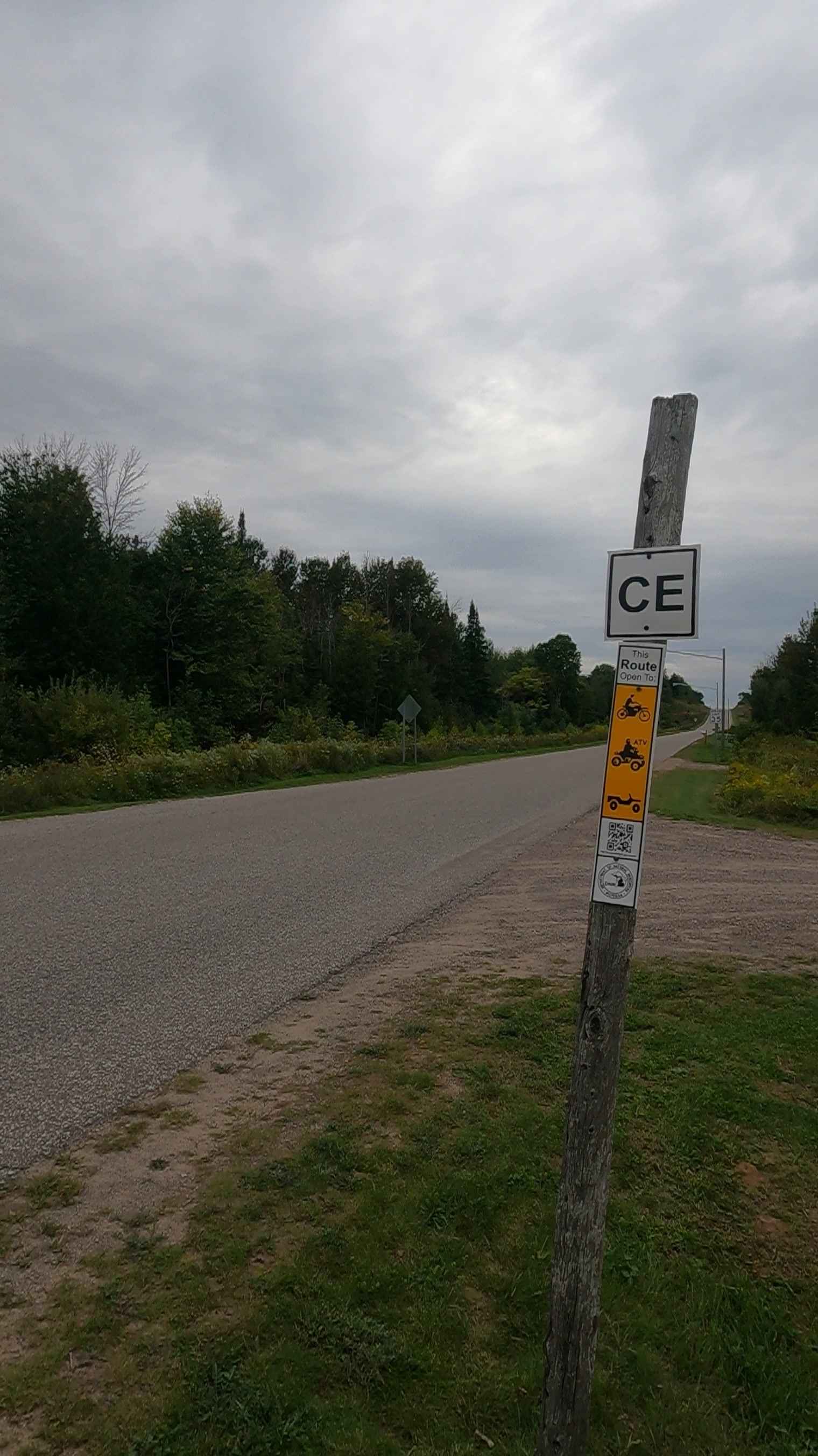
ORV Route CE/Bay Mills - FS 4103
Total Miles
2.2
Technical Rating
Best Time
Spring, Summer, Fall
Trail Type
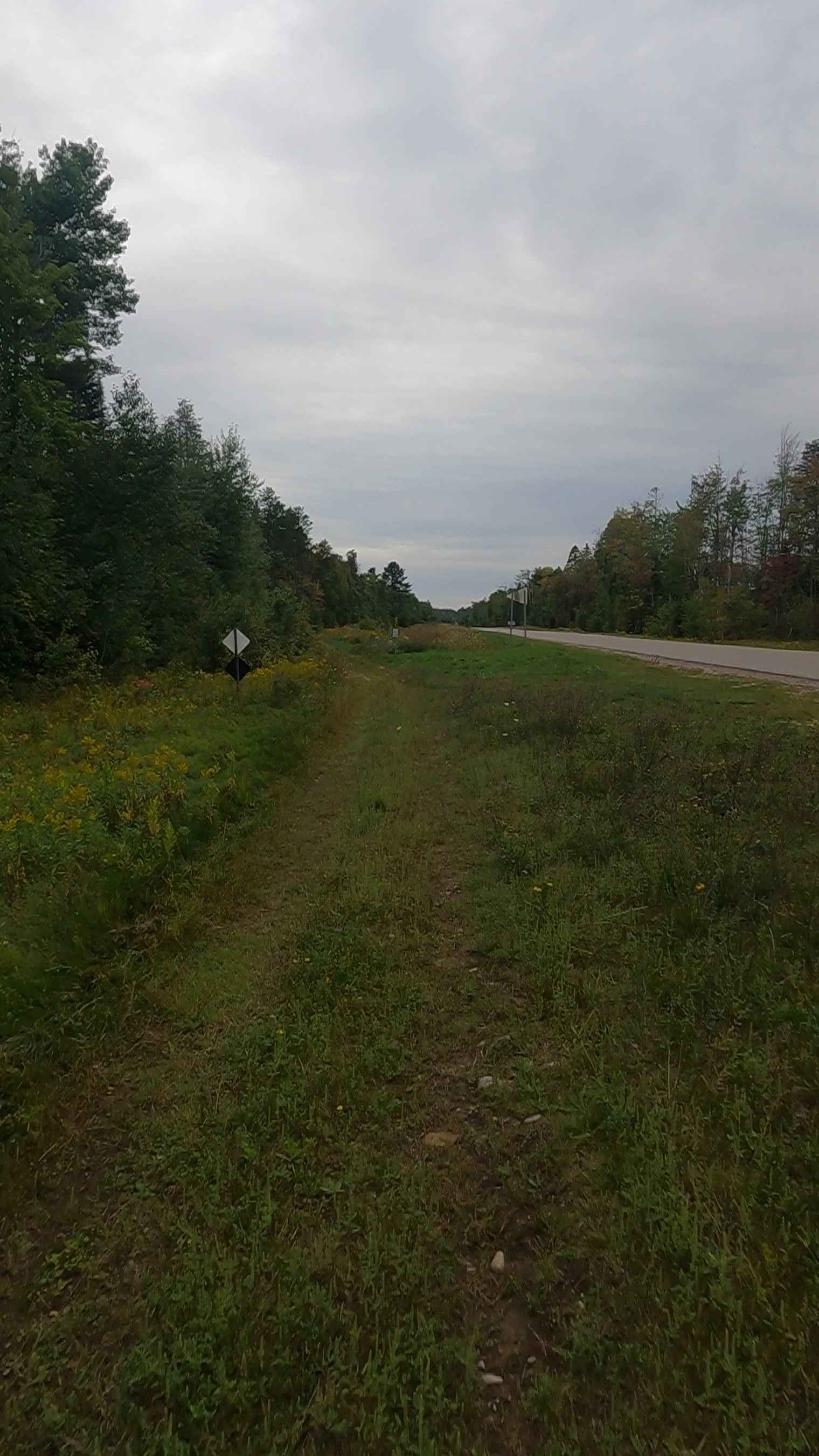
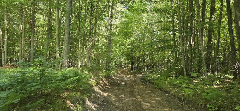
Full-Width Road
Accessible By
Trail Overview
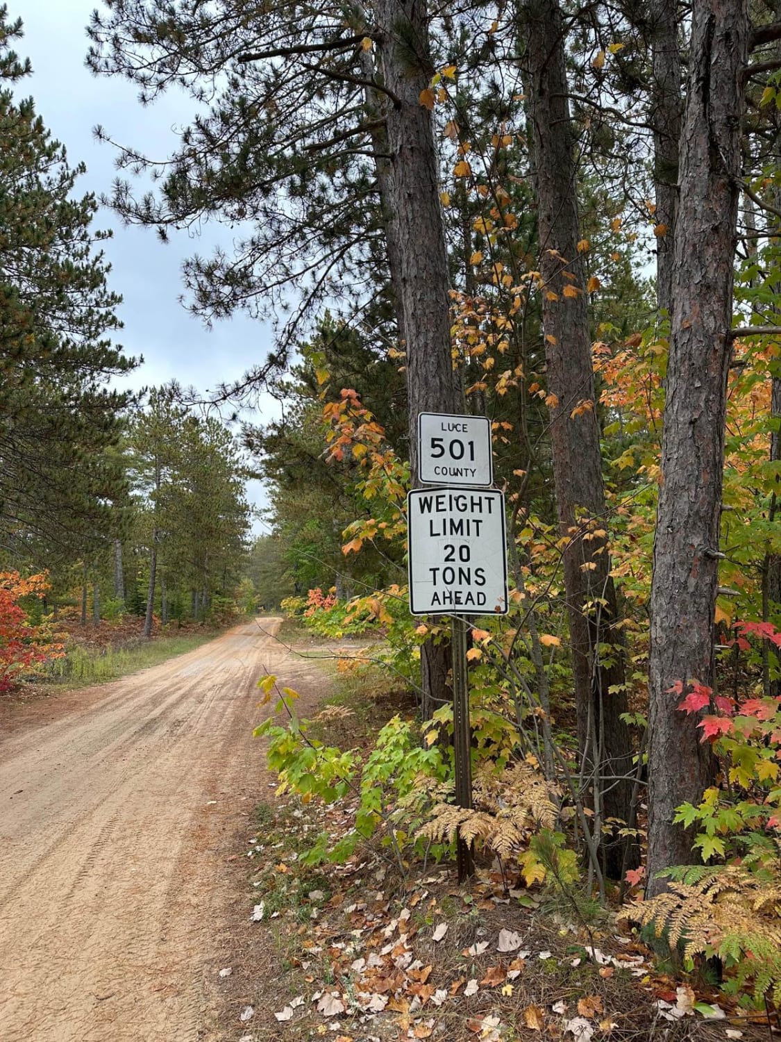
Federal Forest Service Road 4103, also known as ORV Route CE - Bay Mills portion, is a federally owned/ locally maintained, Level-2/ Level-3 forest road with a surface composition of dirt, sand, gravel, and native material. This route is currently open and in fair condition; it is a DNR road (ORV use is subject to local government regulations) and connects West Lakeshore Drive to FS 3153- ORV Route CE- Raco portion. Description created on September 10, 2025.
Photos of ORV Route CE/Bay Mills - FS 4103
Difficulty
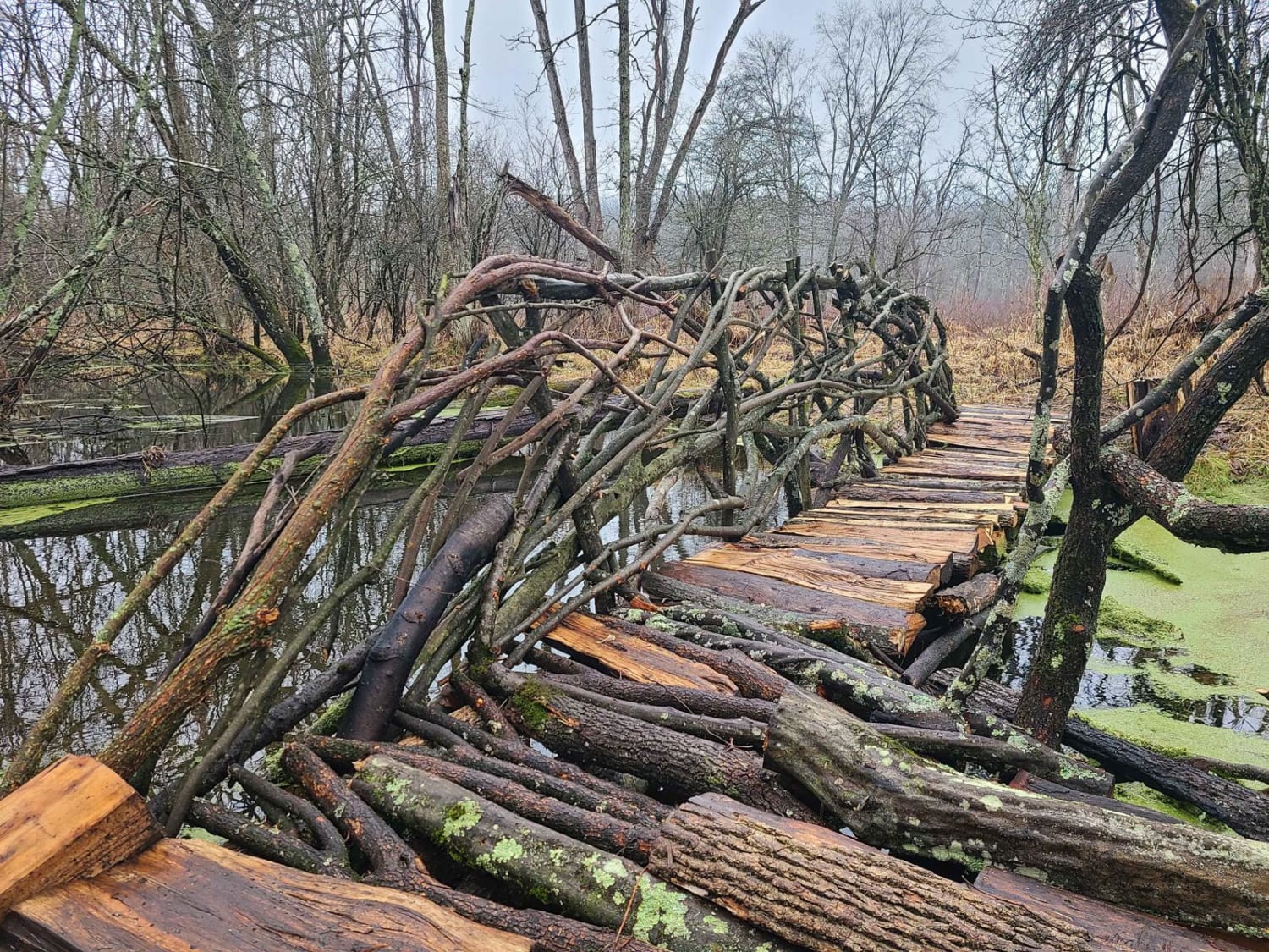
Dirt, gravel, sandy road, typically unmaintained after rain or snow, that may give rise to shallow water crossings and obstacles under 12 inches on the trail, including small ledges. This road is typically one to two vehicles in width, with some portions narrowing down to a "Two Track" road.
History
Bay Mills, Michigan, located near Brimley in the Upper Peninsula, has deep roots as a historic home to the Ojibwe (Chippewa) people, known traditionally as Gnoozhekaaning ("Place of the Pike"). Federally recognized in 1936, the Bay Mills Indian Community (BMIC) is a sovereign nation with a strong history of fishing, environmental stewardship, and economic development through gaming, including the Bay Mills Resort & Casino, founded in 1995.
Status Reports
ORV Route CE/Bay Mills - FS 4103 can be accessed by the following ride types:
- High-Clearance 4x4
- SUV
- SxS (60")
- ATV (50")
- Dirt Bike
ORV Route CE/Bay Mills - FS 4103 Map
Popular Trails
North De Young Road
Forest Road 5301
The onX Offroad Difference
onX Offroad combines trail photos, descriptions, difficulty ratings, width restrictions, seasonality, and more in a user-friendly interface. Available on all devices, with offline access and full compatibility with CarPlay and Android Auto. Discover what you’re missing today!