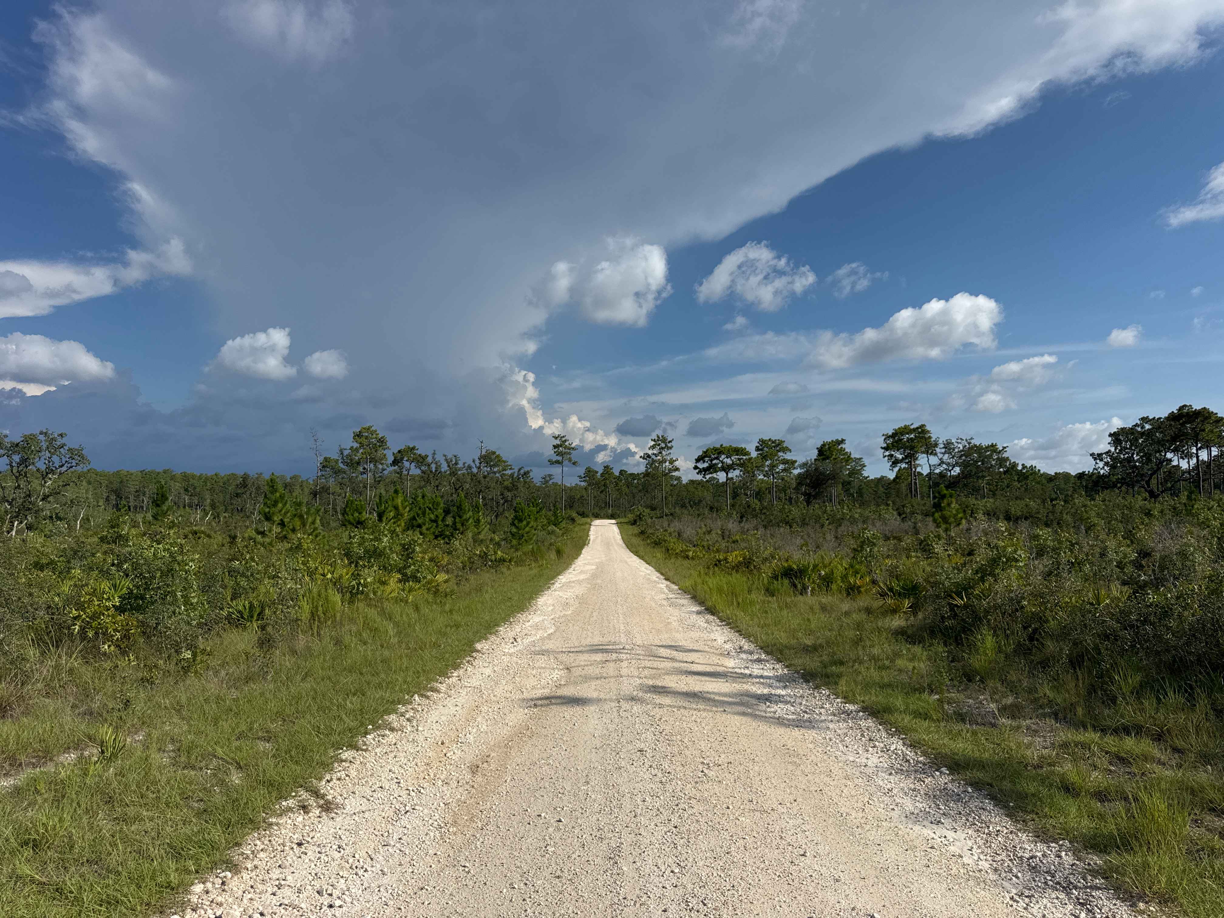
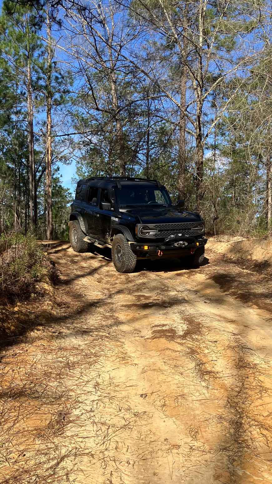
Off-Road Trails in Florida
Discover off-road trails in Florida
Learn more about Snake Road
Snake Road
Total Miles
2.4
Tech Rating
Moderate
Best Time
Spring, Summer, Fall, Winter
Learn more about Sopchoppy - FS 365
Sopchoppy - FS 365
Total Miles
7.8
Tech Rating
Easy
Best Time
Spring, Fall, Winter
Learn more about Sopchoppy Branch - FS 349
Sopchoppy Branch - FS 349
Total Miles
1.8
Tech Rating
Easy
Best Time
Spring, Fall, Winter
Learn more about South Boundary Trail - ONF 2
South Boundary Trail - ONF 2
Total Miles
4.8
Tech Rating
Easy
Best Time
Winter, Fall, Spring
Learn more about South Canal Road
South Canal Road
Total Miles
4.5
Tech Rating
Easy
Best Time
Spring, Fall, Winter
Learn more about South Cross/Powerline Run
South Cross/Powerline Run
Total Miles
5.3
Tech Rating
Easy
Best Time
Spring, Summer, Fall, Winter
Learn more about South Grade Trail
South Grade Trail
Total Miles
3.1
Tech Rating
Easy
Best Time
Spring, Summer, Fall, Winter
Learn more about South Miami Canal Connect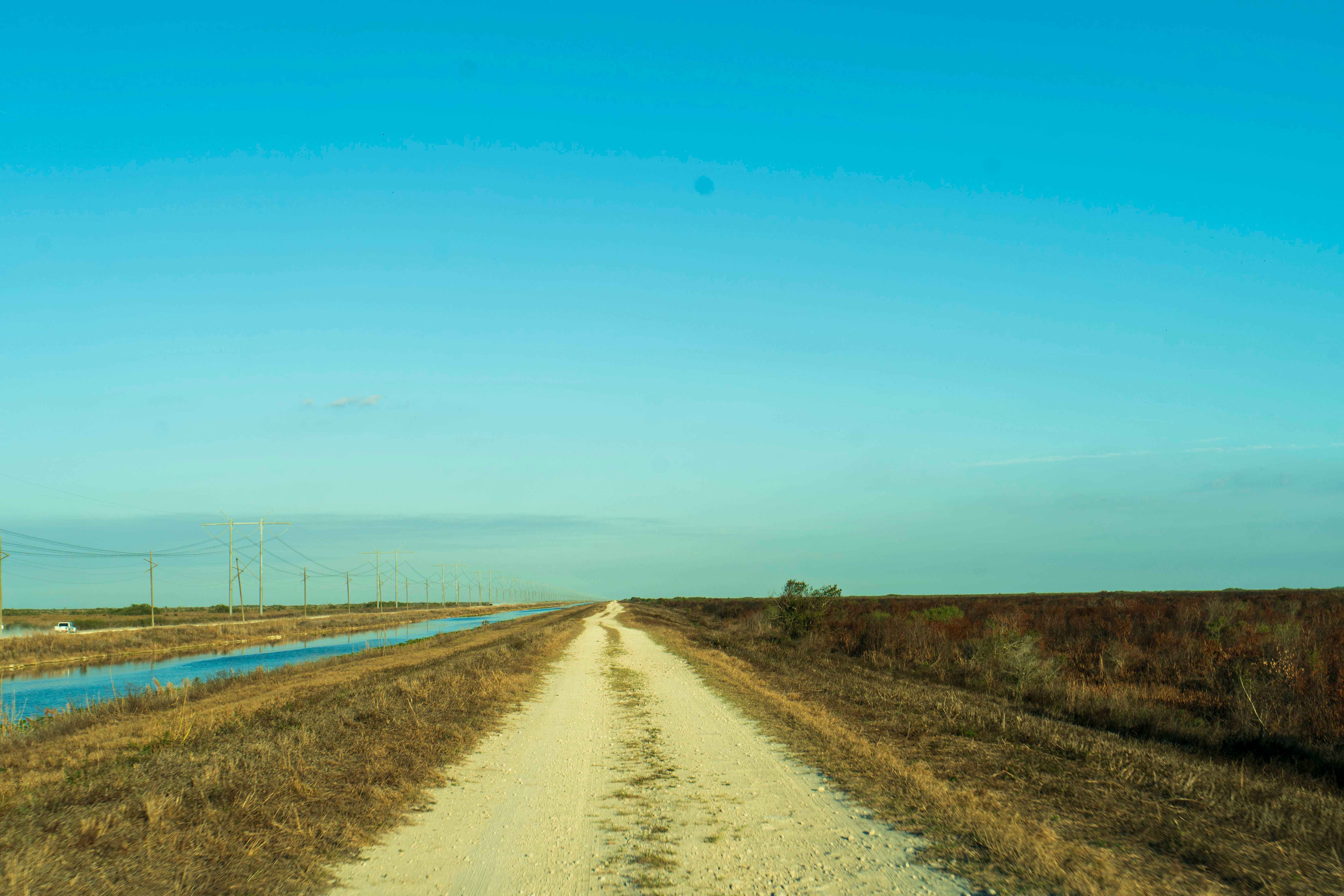
South Miami Canal Connect
Total Miles
8.6
Tech Rating
Easy
Best Time
Spring, Summer, Fall, Winter
Learn more about South Ormond Beach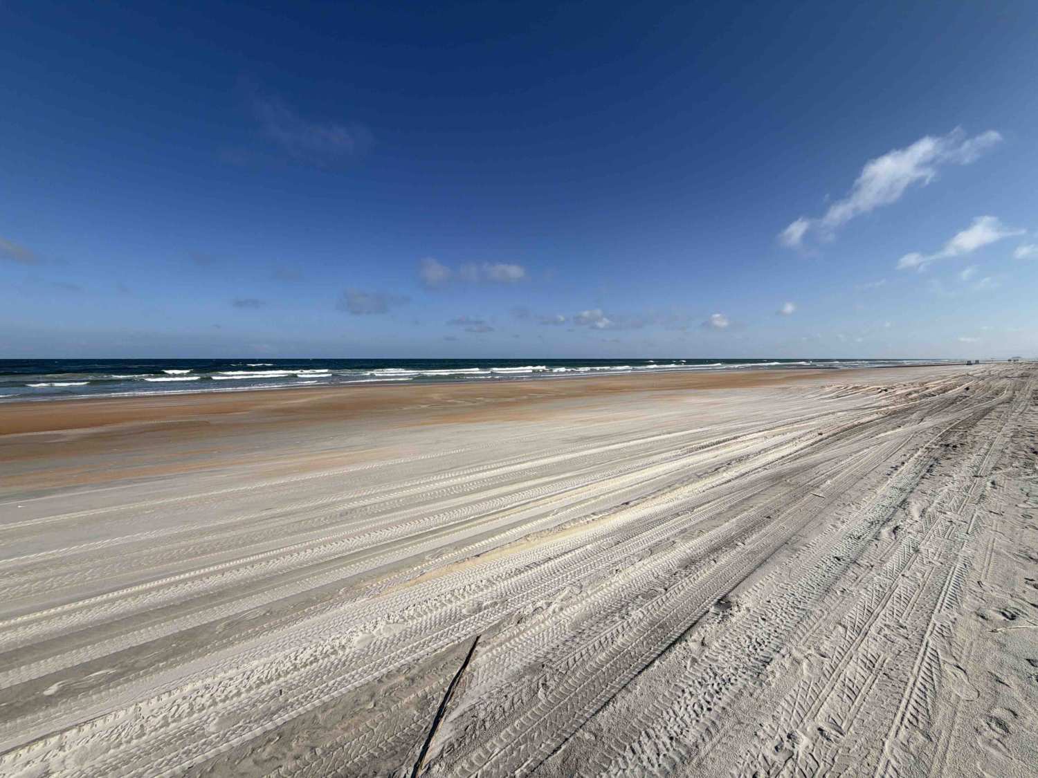
South Ormond Beach
Total Miles
2.0
Tech Rating
Easy
Best Time
Spring, Summer, Fall, Winter
Learn more about South Powerline Road
South Powerline Road
Total Miles
2.9
Tech Rating
Moderate
Best Time
Spring, Fall, Winter
Learn more about South West Pond Trail - ONF 314 5.7A
South West Pond Trail - ONF 314 5.7A
Total Miles
1.4
Tech Rating
Moderate
Best Time
Spring, Fall, Winter
Learn more about Southeast - FS 15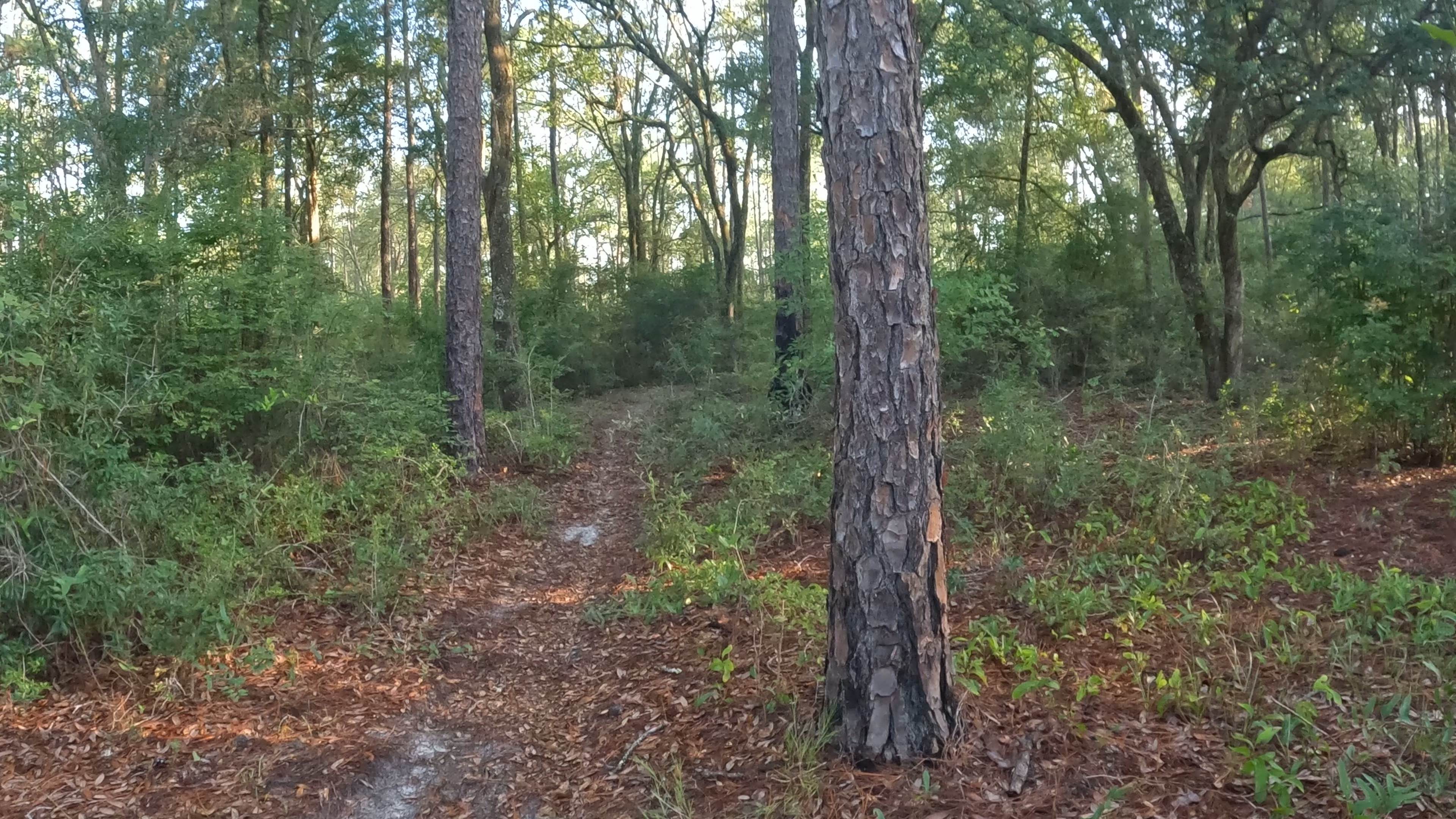
Southeast - FS 15
Total Miles
0.8
Tech Rating
Easy
Best Time
Spring, Winter, Summer
Learn more about Southeast County Line Road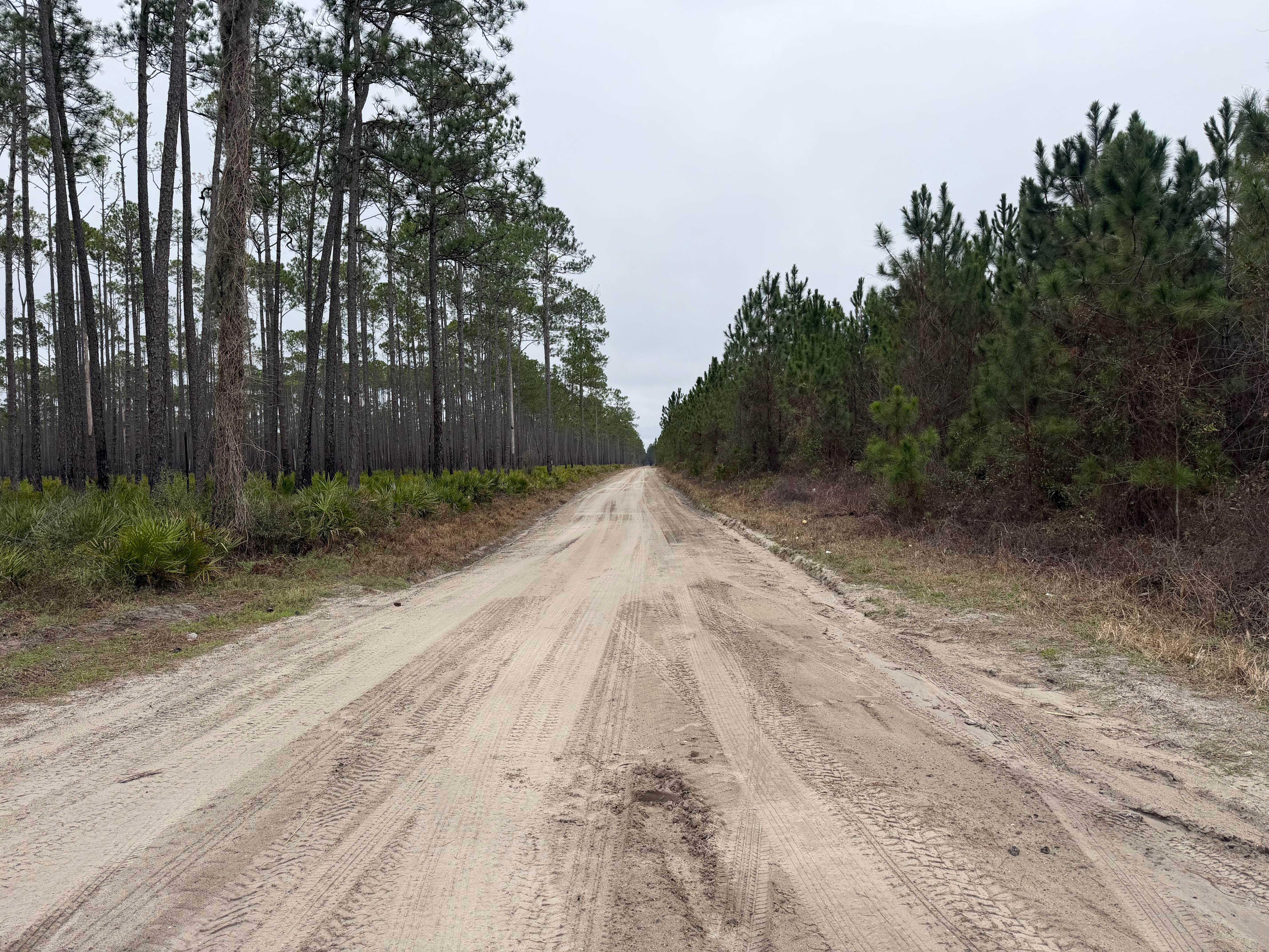
Southeast County Line Road
Total Miles
2.0
Tech Rating
Easy
Best Time
Spring, Summer, Fall, Winter
Learn more about Southside - FS 125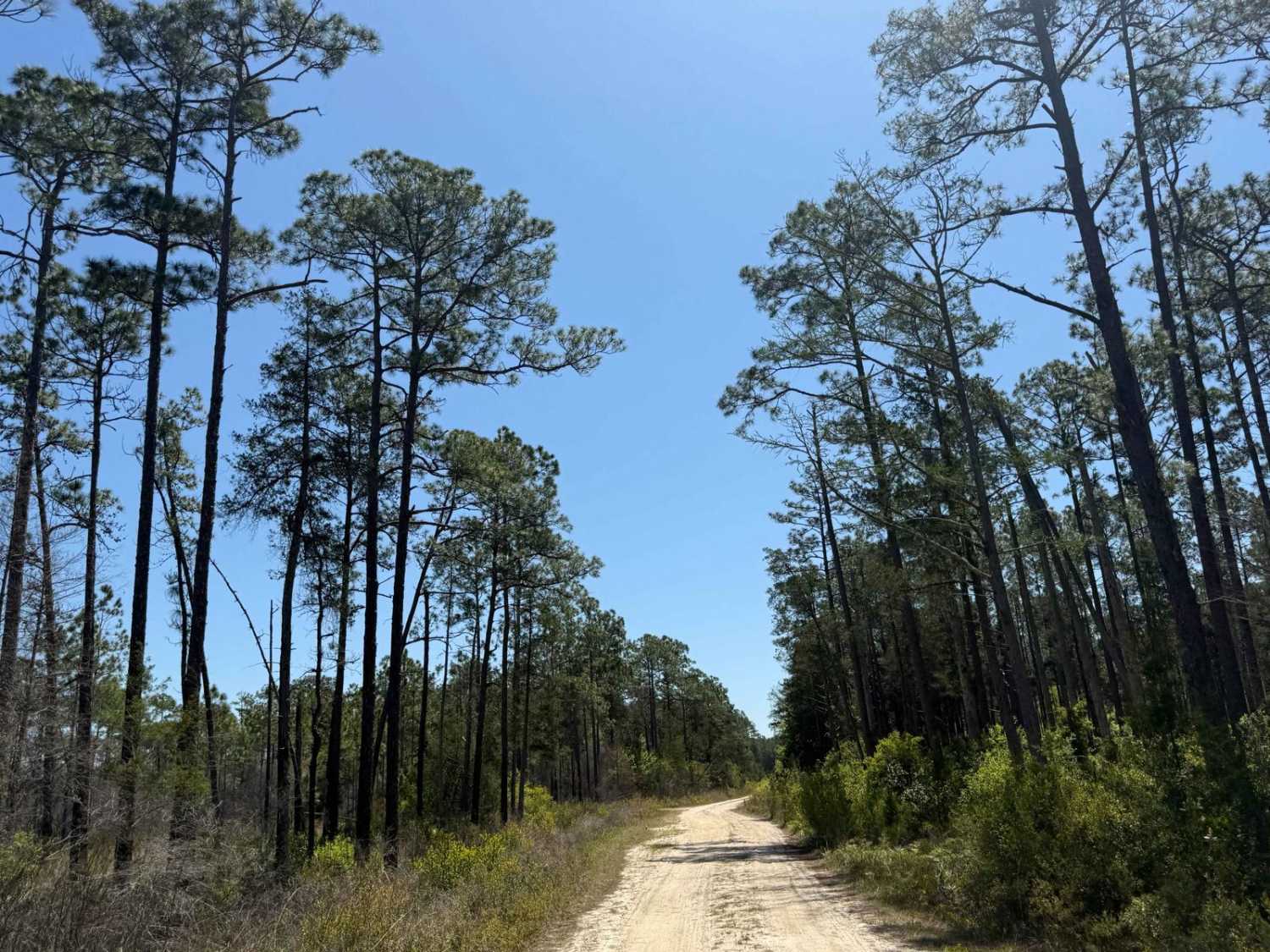
Southside - FS 125
Total Miles
8.2
Tech Rating
Easy
Best Time
Spring, Summer, Fall, Winter
Learn more about Spoonbill Pass
Spoonbill Pass
Total Miles
3.2
Tech Rating
Easy
Best Time
Spring, Summer, Fall, Winter
Learn more about Spring Creek - ONF 6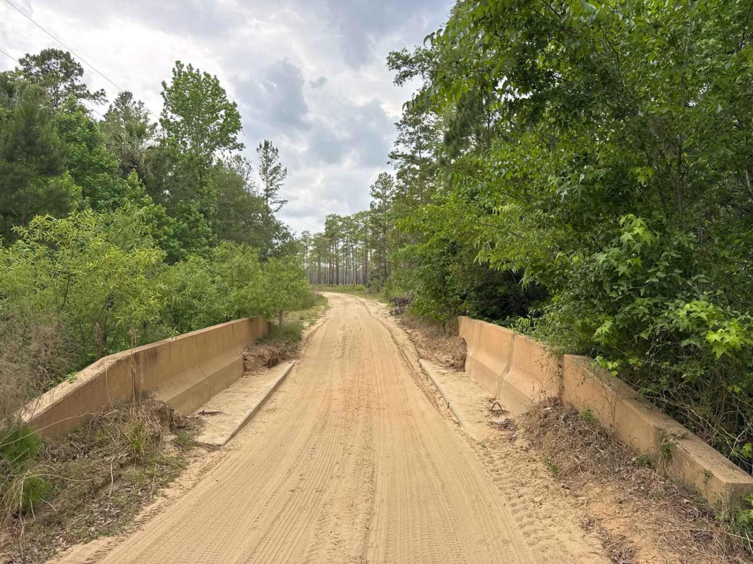
Spring Creek - ONF 6
Total Miles
5.6
Tech Rating
Easy
Best Time
Winter, Fall, Spring
Learn more about Spring Creek Landing - ONF 18
Spring Creek Landing - ONF 18
Total Miles
4.7
Tech Rating
Difficult
Best Time
Spring, Winter
Learn more about Springhill Cut-Off - FS 317
Springhill Cut-Off - FS 317
Total Miles
3.4
Tech Rating
Moderate
Best Time
Spring, Fall, Winter
ATV trails in Florida
Learn more about 267 - Otter Camp (344)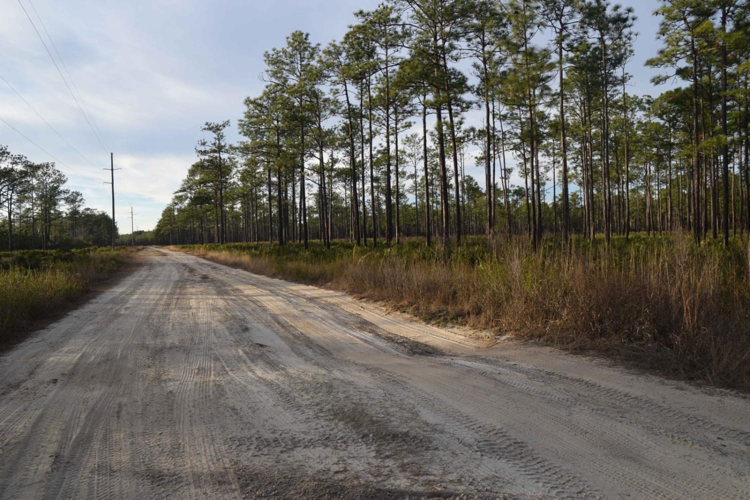
267 - Otter Camp (344)
Total Miles
7.0
Tech Rating
Easy
Best Time
Summer, Fall, Winter, Spring
Learn more about 305 North Pasture 
305 North Pasture
Total Miles
7.1
Tech Rating
Easy
Best Time
Spring, Summer, Fall, Winter
Learn more about 40 Acre Lake
40 Acre Lake
Total Miles
1.4
Tech Rating
Difficult
Best Time
Spring, Summer, Fall, Winter
Learn more about 5 Mile Road Winter Garden - Clermont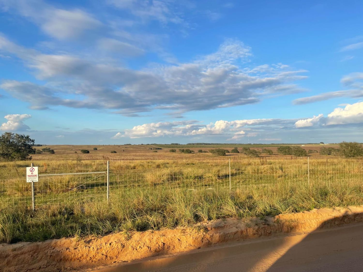
5 Mile Road Winter Garden - Clermont
Total Miles
6.5
Tech Rating
Easy
Best Time
Spring, Summer, Fall, Winter
UTV/side-by-side trails in Florida
Learn more about 267 - Otter Camp (344)
267 - Otter Camp (344)
Total Miles
7.0
Tech Rating
Easy
Best Time
Summer, Fall, Winter, Spring
Learn more about 305 North Pasture
305 North Pasture
Total Miles
7.1
Tech Rating
Easy
Best Time
Spring, Summer, Fall, Winter
Learn more about 40 Acre Lake
40 Acre Lake
Total Miles
1.4
Tech Rating
Difficult
Best Time
Spring, Summer, Fall, Winter
Learn more about 5 Mile Road Winter Garden - Clermont
5 Mile Road Winter Garden - Clermont
Total Miles
6.5
Tech Rating
Easy
Best Time
Spring, Summer, Fall, Winter
The onX Offroad Difference
onX Offroad combines trail photos, descriptions, difficulty ratings, width restrictions, seasonality, and more in a user-friendly interface. Available on all devices, with offline access and full compatibility with CarPlay and Android Auto. Discover what you’re missing today!