Southeast County Line Road
Total Miles
2.0
Technical Rating
Best Time
Spring, Summer, Fall, Winter
Trail Type
Full-Width Road
Accessible By
Trail Overview
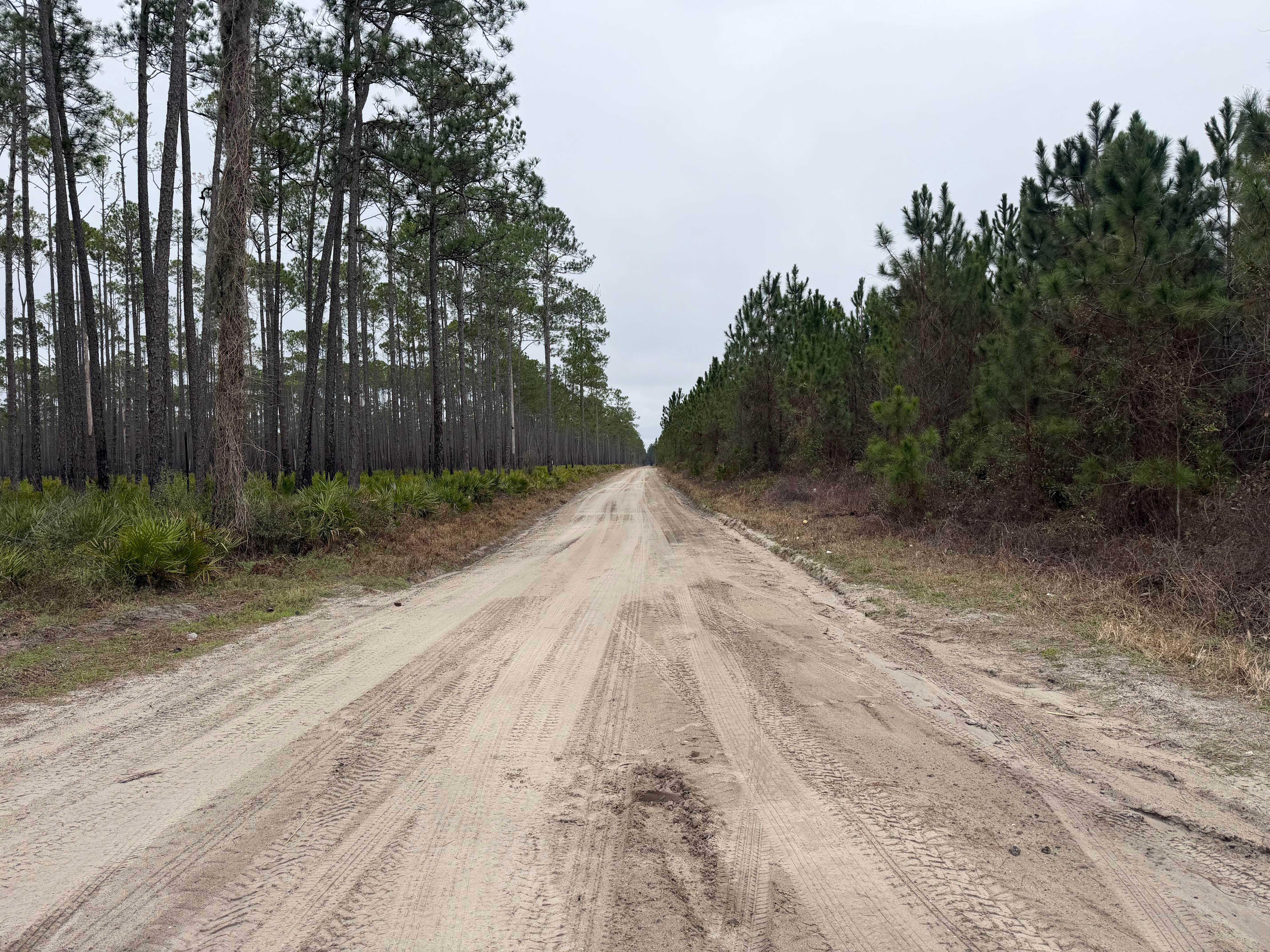
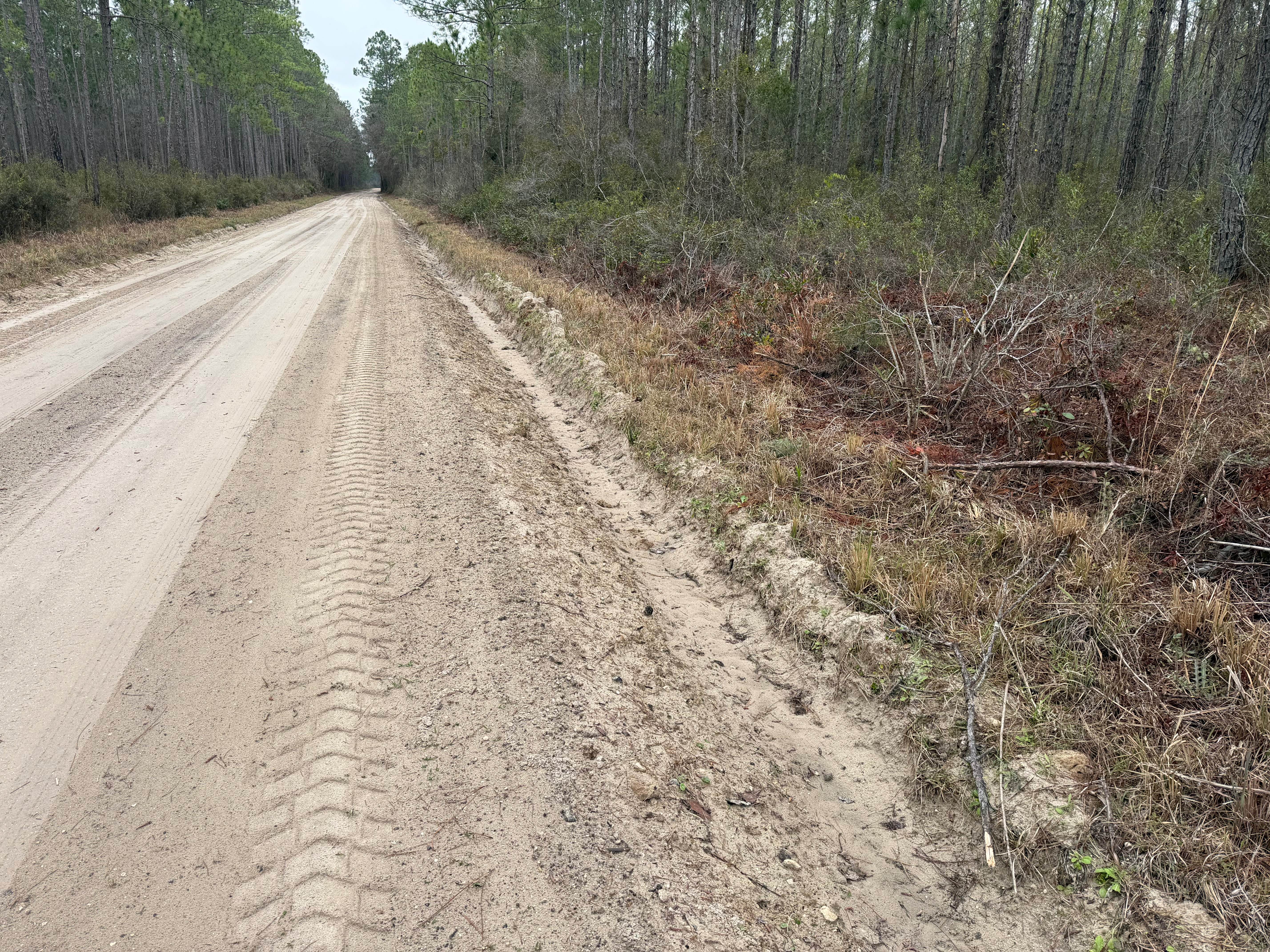
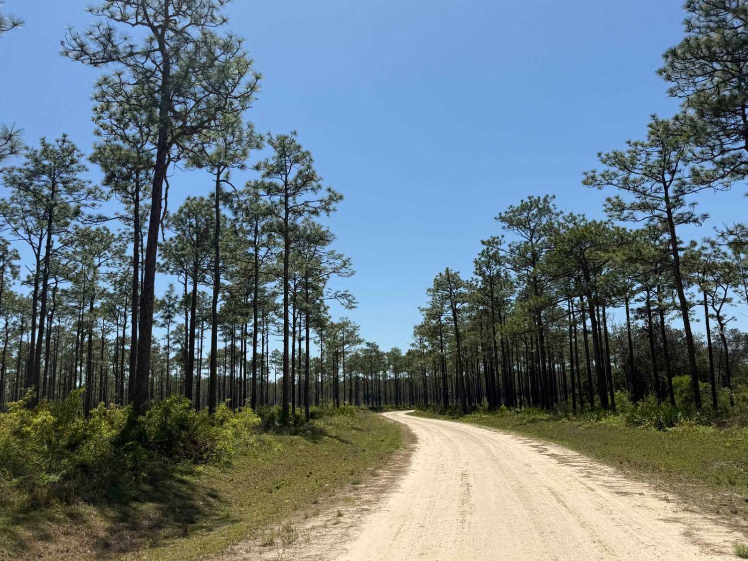
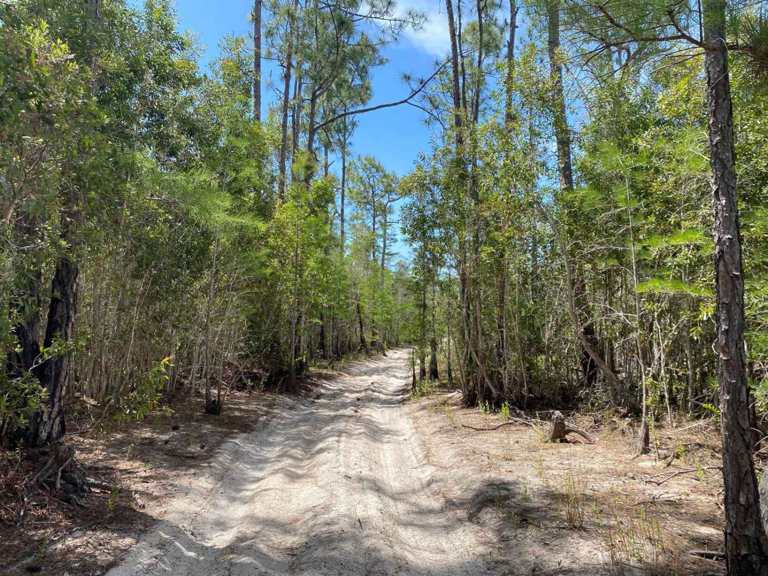
This trail runs through the Osceola National Forest (NF) and Wildlife Management Area (WMA). The trail is an unimproved county right of way and is open to public access year-round. Only registered highway legal motor vehicles are allowed to operate on this trail. The use of all-terrain vehicles (ATVs), recreational off-highway vehicles (OHVs), or unlicensed motorcycles (UM's) is prohibited. Local, County, and State statutes/ordinances prohibit or limit access to only highway legal vehicles. Additionally, the USDA Forest Service published "Motor Vehicle Use Map (MVUM), Osceola National Forest" that reflects and identifies these trails as limited vehicle access. Southeast County Line Road is an unmarked, unimproved county dirt road that intersects with US Highway 90. This could be an out-and-back trail or a through trail, as the road continues on beyond the NF and WMA boundaries. The road is a rutted dirt having whoops and washes. The road is paralleled by drainage swales that have sharp ledges that drop off 2 feet or more into the swale. Several areas were noted where vehicles had dropped off the ledges and had to be recovered. On the way down the road, I noted the recovery of a low clearance 2WD being completed. The vehicle dropped off the ledge and had been hung up. The vehicle had suffered what appeared to be substantial steering and drive line damages as a result. Most 2WD or low clearance vehicles can safely travel this road, but advise exercising caution during wet conditions and being alert to the proximity to the edge of the road. The Department of Forestry (DNF) cautions on their website and published maps that the designation of a road or trail should not be interpreted as the trail is passable, actively maintained, or safe for travel. Seasonal weather may rapidly change the trail conditions. Following rains or storms, water crossings up to 12 inches are possible. Also, following rains or storms, areas of washes or fallen debris up to 12 inches may be encountered. Trail conditions can deteriorate rapidly depending on weather conditions. Following storms or seasonal weather events, the trails may go unmaintained.
Photos of Southeast County Line Road
Difficulty
Unimproved, uneven, rutted dirt and sand road with potential for washes, debris up to 12 inches, and water crossings less than 12 inches. Following or during rains, areas of loose and slippery material can be expected, as well as potential for mudholes or ponding water up to 12 inches. Road has ledges that steeply drop off into the parallel drainage swales. The road is mostly two vehicles wide. Following storms or seasonal weather events, the trails may go unmaintained.
Status Reports
Southeast County Line Road can be accessed by the following ride types:
- High-Clearance 4x4
- SUV
- Dirt Bike
Southeast County Line Road Map
Popular Trails
Wrights Landing - FS 101
Oberlin Trail

Forest Highway 13
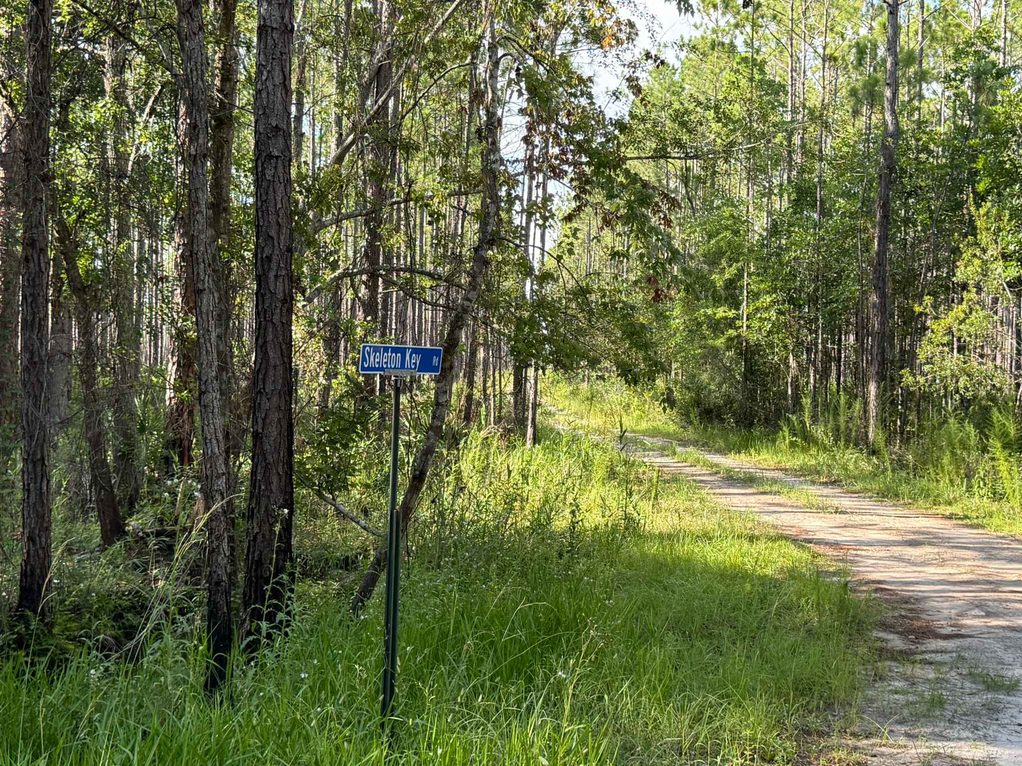
Skeleton Key Road
The onX Offroad Difference
onX Offroad combines trail photos, descriptions, difficulty ratings, width restrictions, seasonality, and more in a user-friendly interface. Available on all devices, with offline access and full compatibility with CarPlay and Android Auto. Discover what you’re missing today!