Off-Road Trails in Florida
Discover off-road trails in Florida
Learn more about Railroad Grade Trail - ONF 57
Railroad Grade Trail - ONF 57
Total Miles
5.0
Tech Rating
Easy
Best Time
Winter, Spring, Fall
Learn more about Rake Creek Road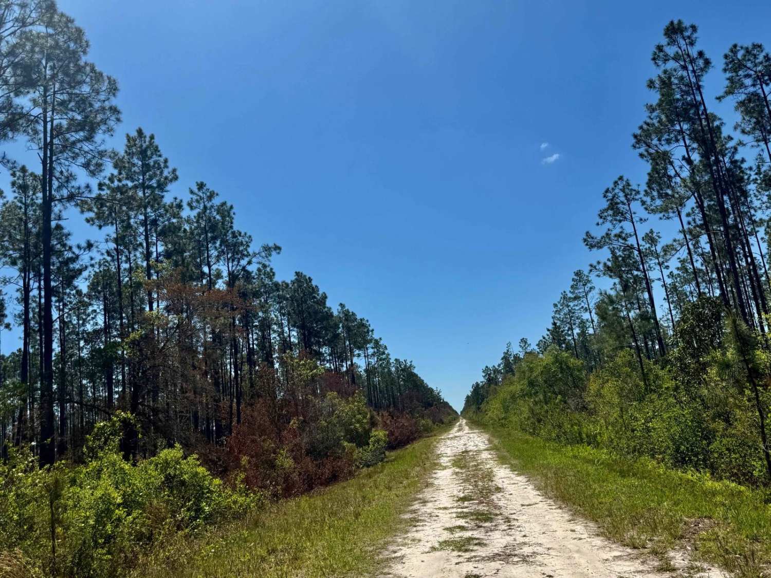
Rake Creek Road
Total Miles
9.4
Tech Rating
Easy
Best Time
Spring, Summer, Fall, Winter
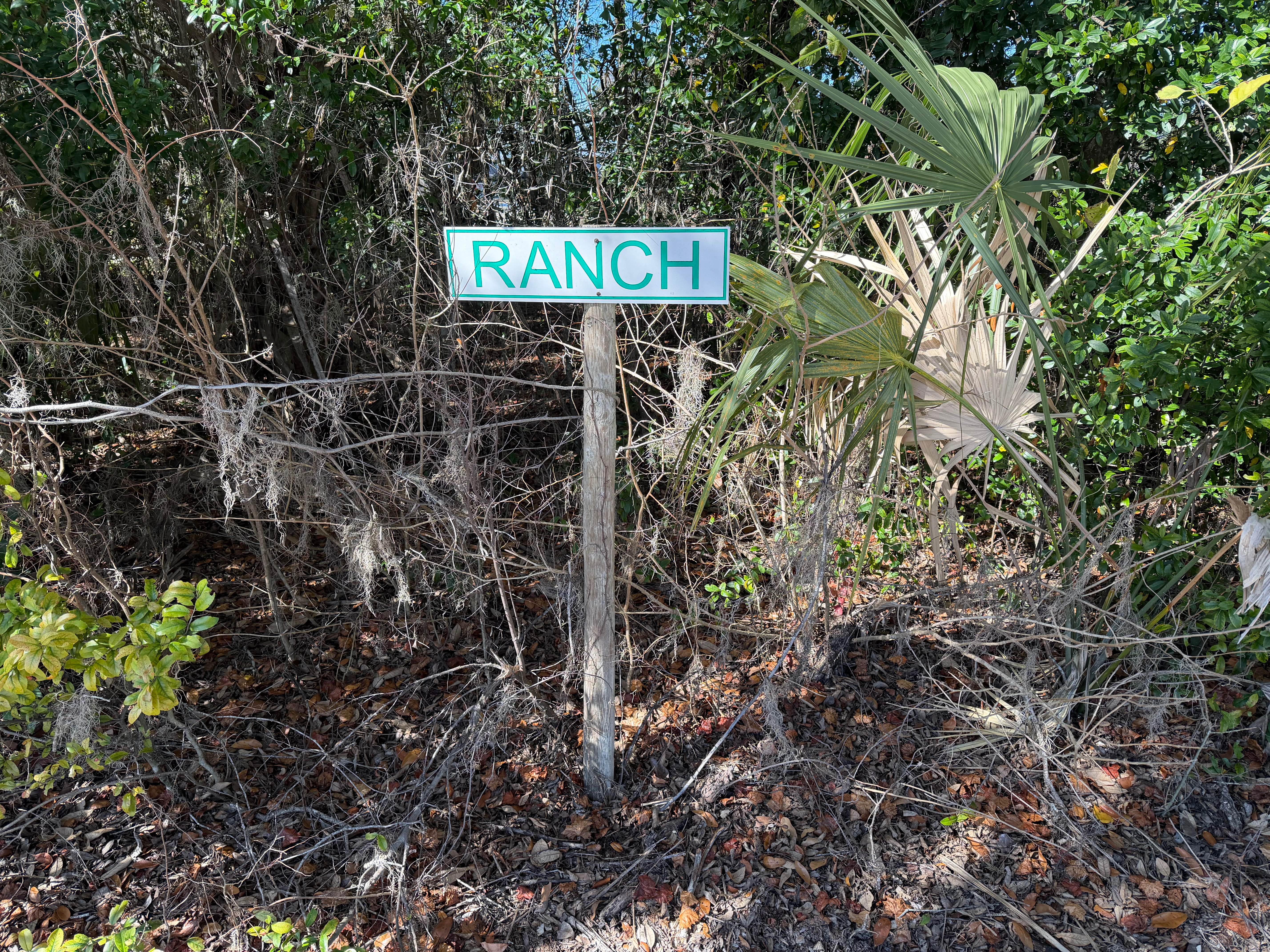
Learn more about Randall-Burnsed
Randall-Burnsed
Total Miles
4.0
Tech Rating
Easy
Best Time
Spring, Summer, Fall, Winter
Learn more about Ranger Trail - FS 312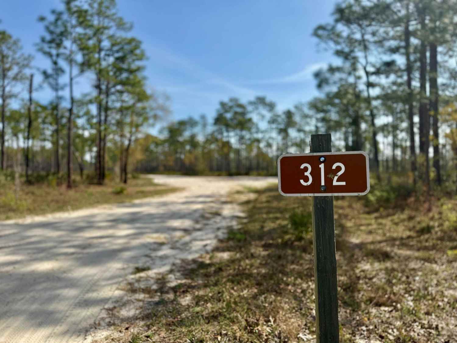
Ranger Trail - FS 312
Total Miles
4.8
Tech Rating
Easy
Best Time
Summer, Spring, Fall, Winter
Learn more about Rattlesnake Camp Road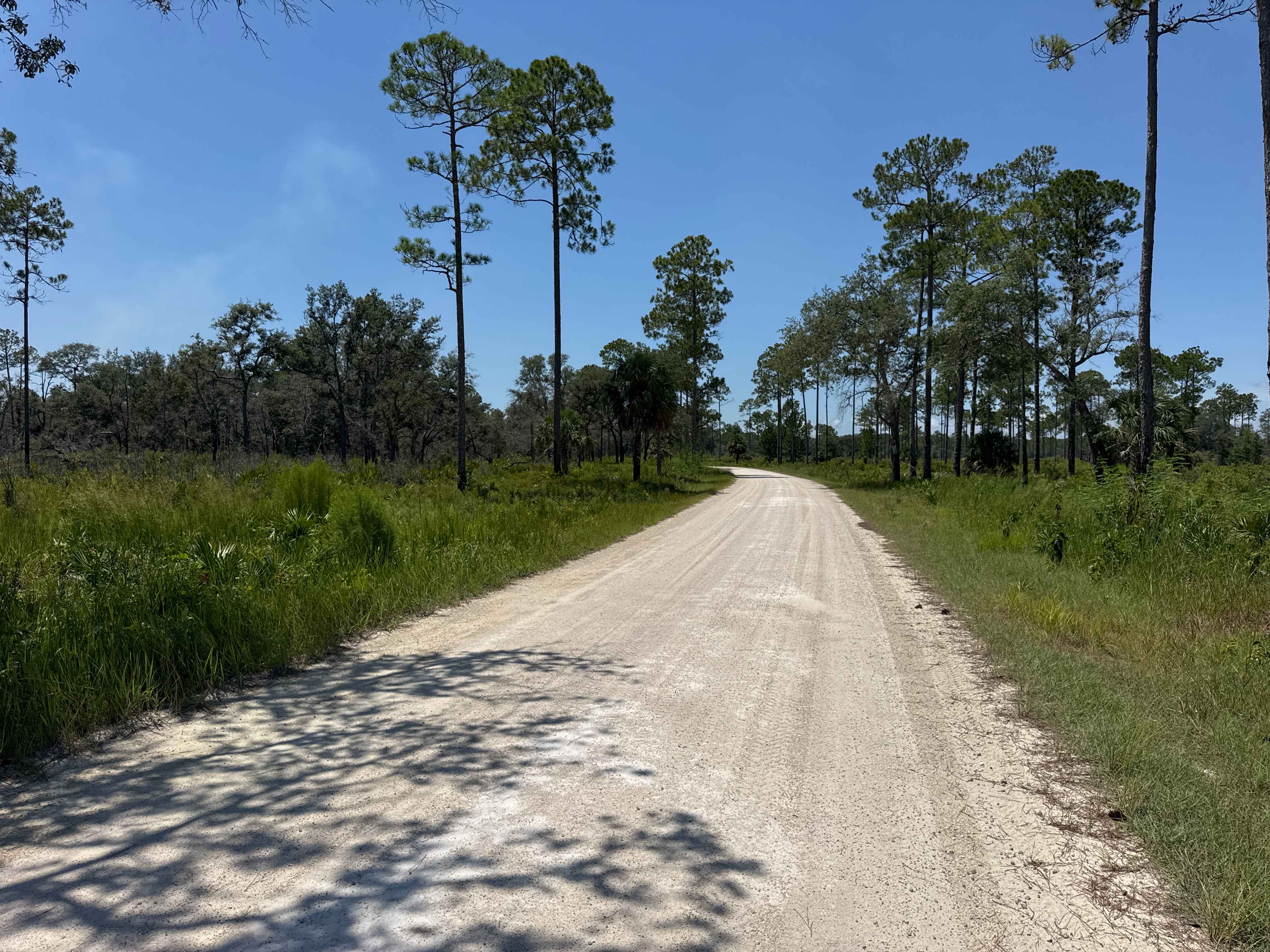
Rattlesnake Camp Road
Total Miles
2.3
Tech Rating
Easy
Best Time
Spring, Fall, Winter
Learn more about Rattlesnake Road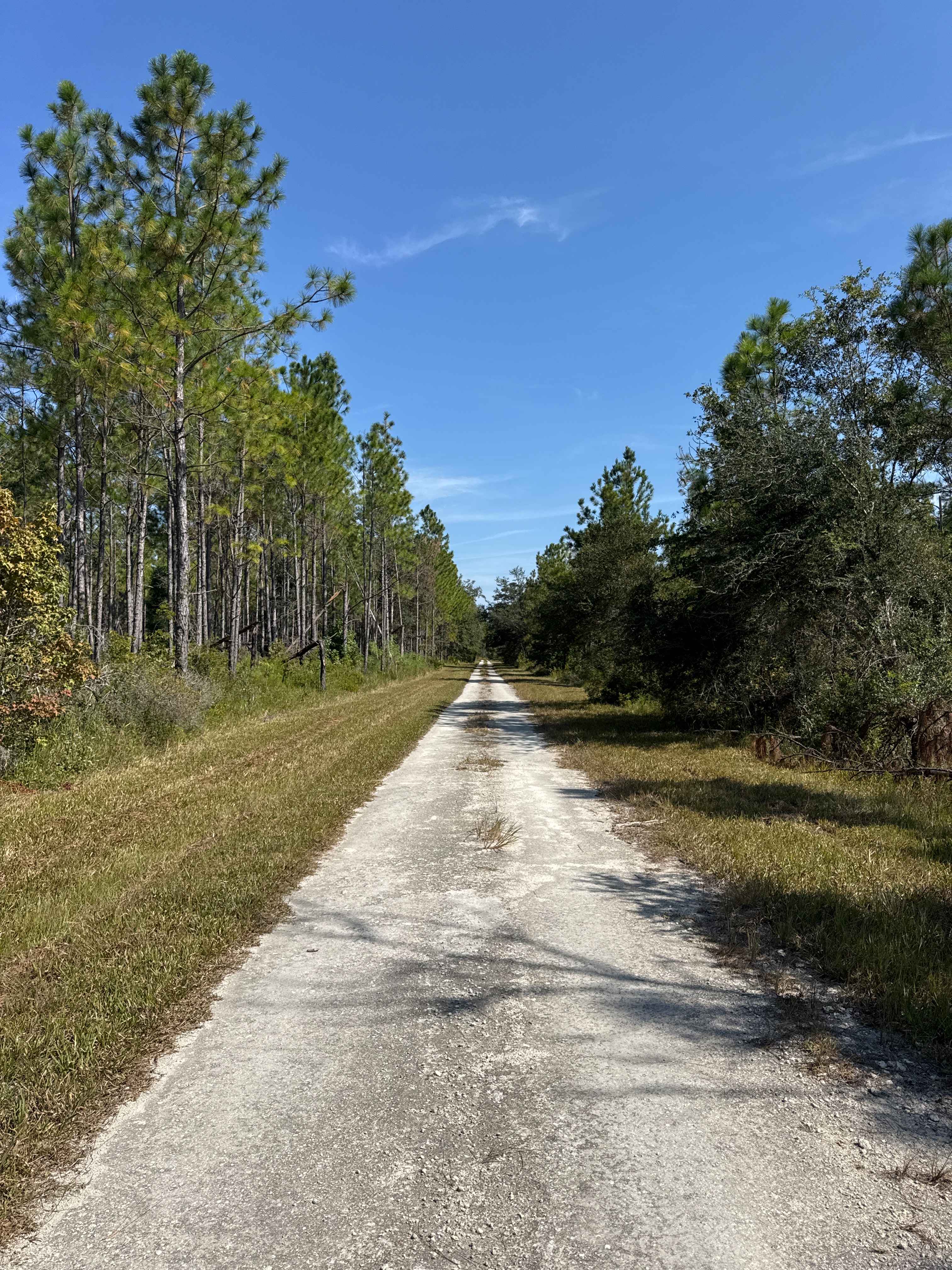
Rattlesnake Road
Total Miles
2.9
Tech Rating
Easy
Best Time
Spring, Fall, Winter
Learn more about Rattlesnake Road - Jennings State Forest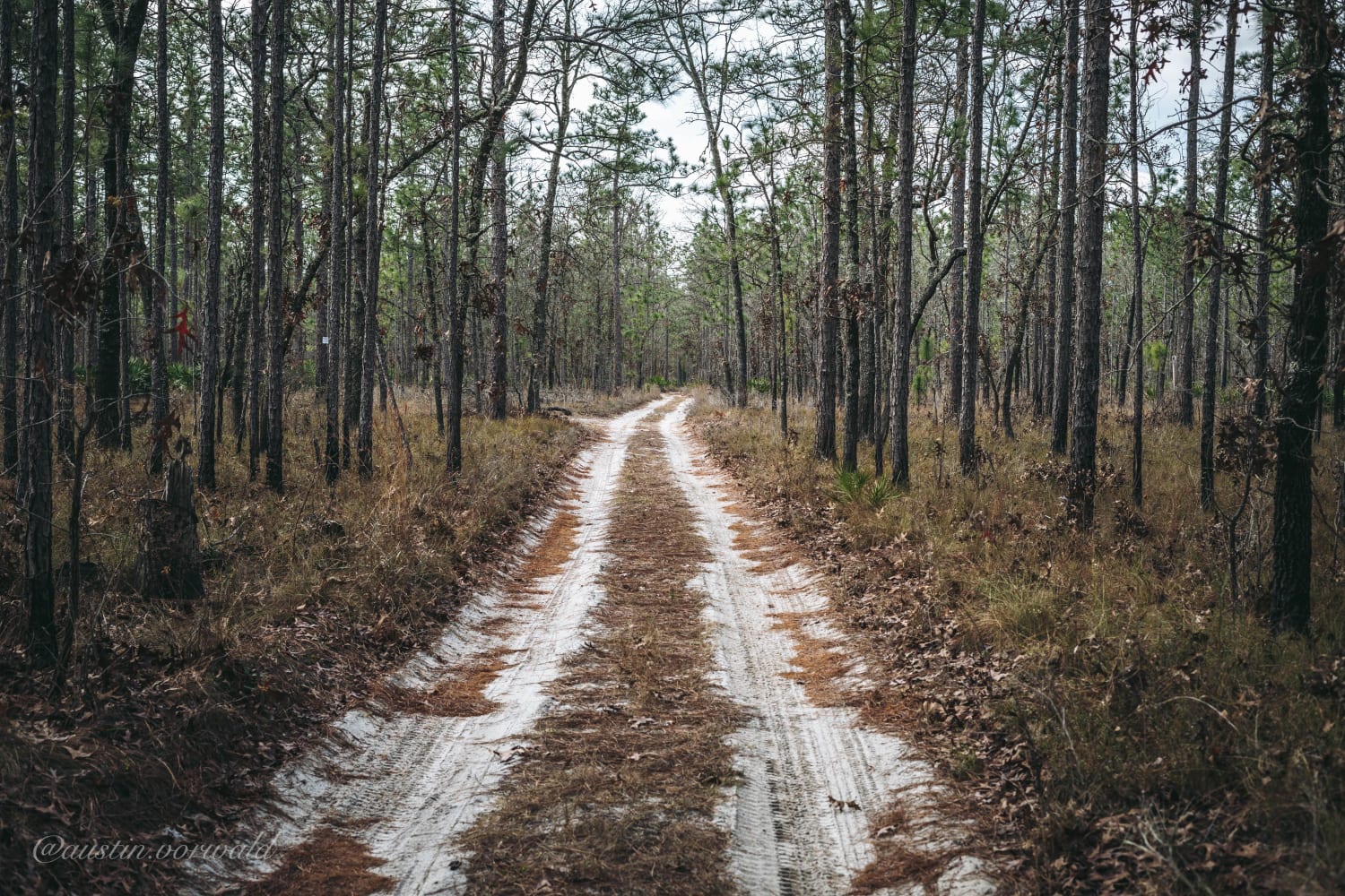
Rattlesnake Road - Jennings State Forest
Total Miles
1.8
Tech Rating
Easy
Best Time
Spring, Summer, Fall, Winter
Learn more about Raum - FS 172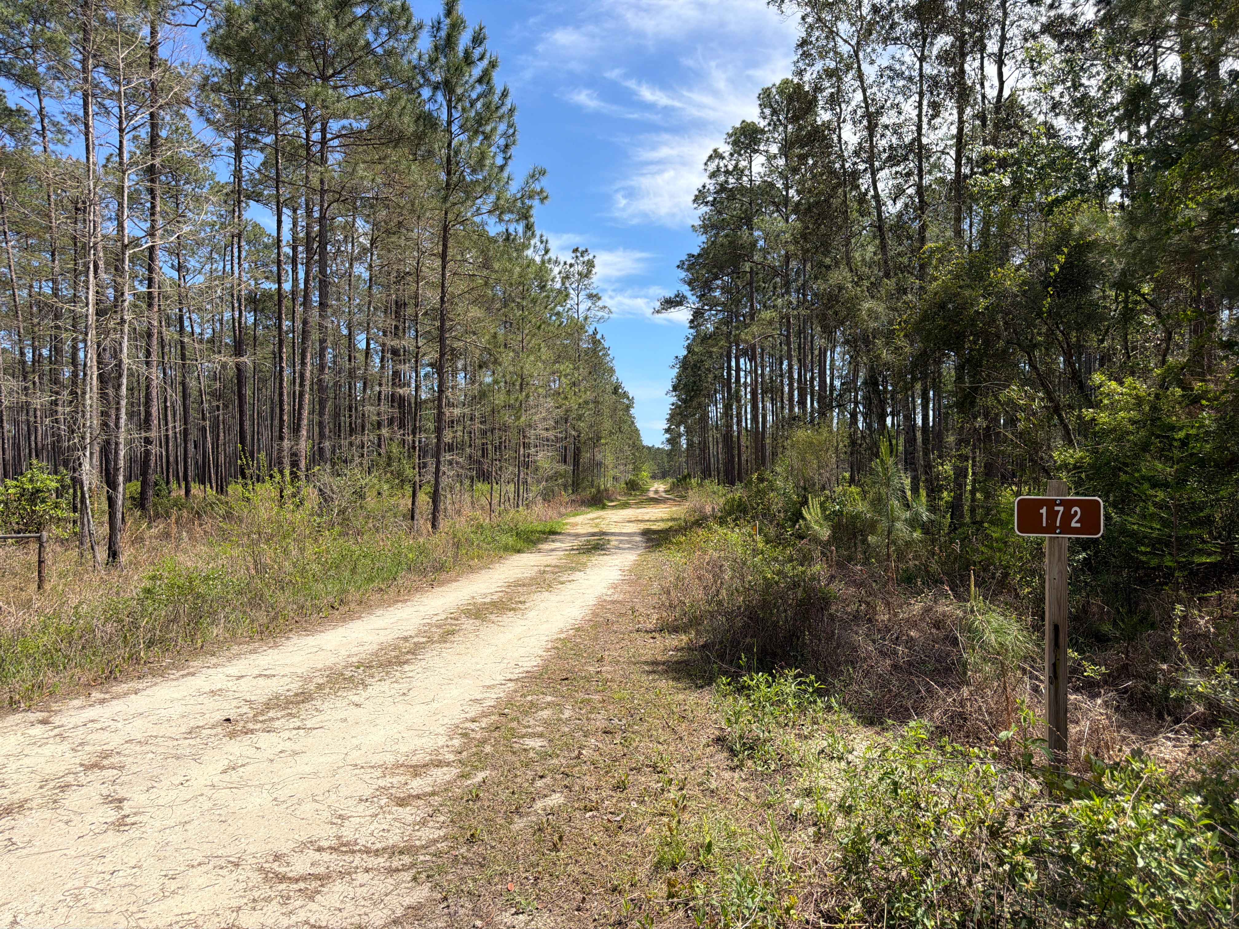
Raum - FS 172
Total Miles
3.2
Tech Rating
Easy
Best Time
Spring, Fall, Winter
Learn more about Remington's Run
Remington's Run
Total Miles
1.1
Tech Rating
Moderate
Best Time
Spring, Summer, Fall, Winter
Learn more about Richloam Wildlife Area: Center Grade Road
Richloam Wildlife Area: Center Grade Road
Total Miles
12.8
Tech Rating
Easy
Best Time
Summer, Spring, Fall, Winter
Learn more about Richloam Wildlife Management Area SE Quarter Infinity Loop
Richloam Wildlife Management Area SE Quarter Infinity Loop
Total Miles
14.0
Tech Rating
Moderate
Best Time
Summer
Learn more about Richloam WMA Elmers Glue
Richloam WMA Elmers Glue
Total Miles
5.1
Tech Rating
Moderate
Best Time
Summer
Learn more about Richloam WMA North Grade Road
Richloam WMA North Grade Road
Total Miles
14.5
Tech Rating
Easy
Best Time
Spring, Summer, Fall, Winter
Learn more about Riddick Grove Road
Riddick Grove Road
Total Miles
3.6
Tech Rating
Easy
Best Time
Spring, Summer, Fall, Winter
Learn more about Ridge Road
Ridge Road
Total Miles
1.0
Tech Rating
Easy
Best Time
Spring, Summer, Fall, Winter
Learn more about Ridge Trail
Ridge Trail
Total Miles
5.2
Tech Rating
Easy
Best Time
Spring, Summer, Fall, Winter
Learn more about River Road Turn Around
River Road Turn Around
Total Miles
3.2
Tech Rating
Moderate
Best Time
Spring, Summer, Fall, Winter
Learn more about River Styx 171
River Styx 171
Total Miles
2.6
Tech Rating
Easy
Best Time
Spring, Summer, Fall, Winter
ATV trails in Florida
Learn more about 267 - Otter Camp (344)
267 - Otter Camp (344)
Total Miles
7.0
Tech Rating
Easy
Best Time
Summer, Fall, Winter, Spring
Learn more about 305 North Pasture 
305 North Pasture
Total Miles
7.1
Tech Rating
Easy
Best Time
Spring, Summer, Fall, Winter
Learn more about 40 Acre Lake
40 Acre Lake
Total Miles
1.4
Tech Rating
Difficult
Best Time
Spring, Summer, Fall, Winter
Learn more about 5 Mile Road Winter Garden - Clermont
5 Mile Road Winter Garden - Clermont
Total Miles
6.5
Tech Rating
Easy
Best Time
Spring, Summer, Fall, Winter
UTV/side-by-side trails in Florida
Learn more about 267 - Otter Camp (344)
267 - Otter Camp (344)
Total Miles
7.0
Tech Rating
Easy
Best Time
Summer, Fall, Winter, Spring
Learn more about 305 North Pasture
305 North Pasture
Total Miles
7.1
Tech Rating
Easy
Best Time
Spring, Summer, Fall, Winter
Learn more about 40 Acre Lake
40 Acre Lake
Total Miles
1.4
Tech Rating
Difficult
Best Time
Spring, Summer, Fall, Winter
Learn more about 5 Mile Road Winter Garden - Clermont
5 Mile Road Winter Garden - Clermont
Total Miles
6.5
Tech Rating
Easy
Best Time
Spring, Summer, Fall, Winter
The onX Offroad Difference
onX Offroad combines trail photos, descriptions, difficulty ratings, width restrictions, seasonality, and more in a user-friendly interface. Available on all devices, with offline access and full compatibility with CarPlay and Android Auto. Discover what you’re missing today!