Weston Pass
Total Miles
26.4
Technical Rating
Best Time
Summer, Fall
Trail Type
Full-Width Road
Accessible By
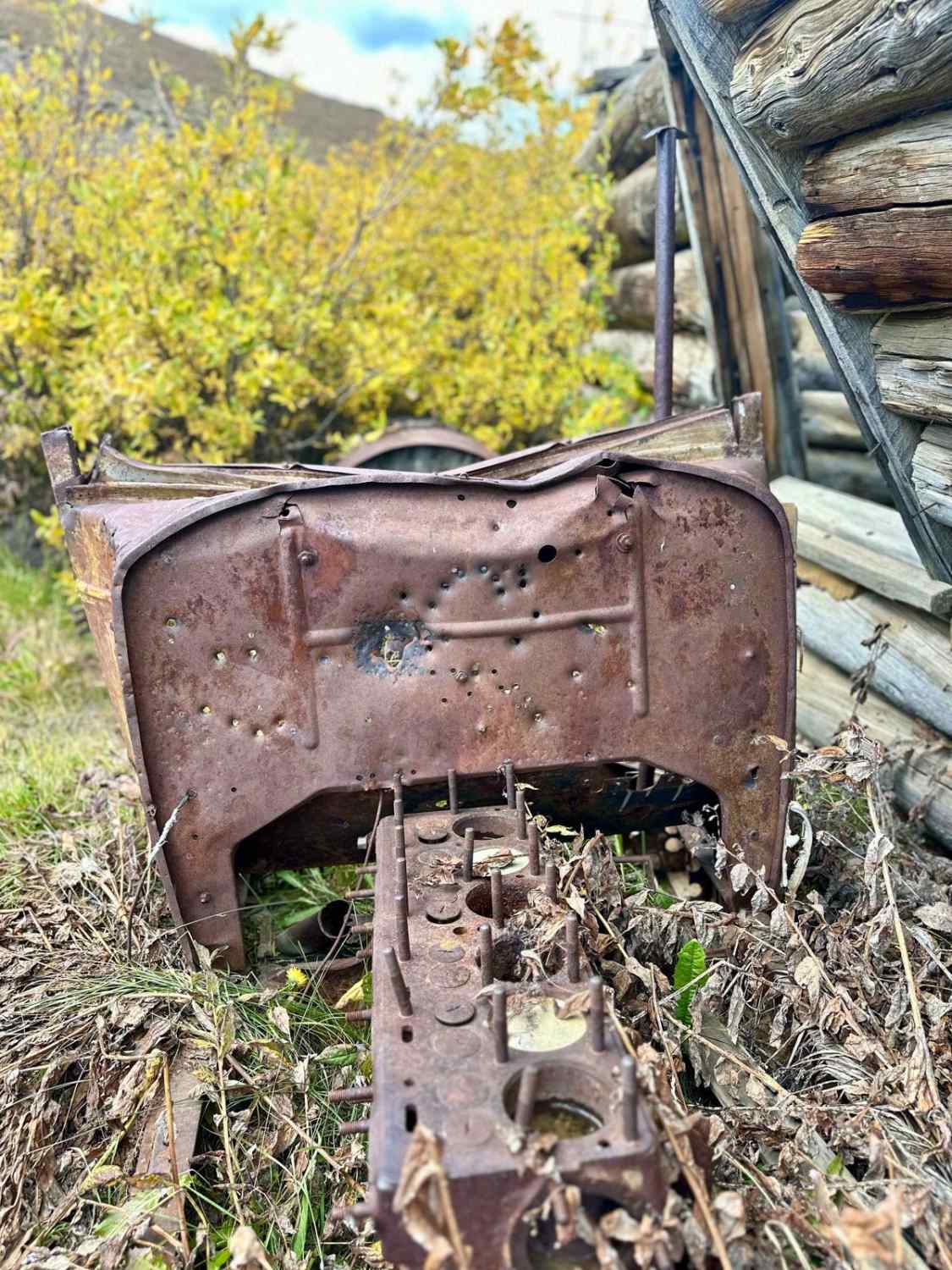
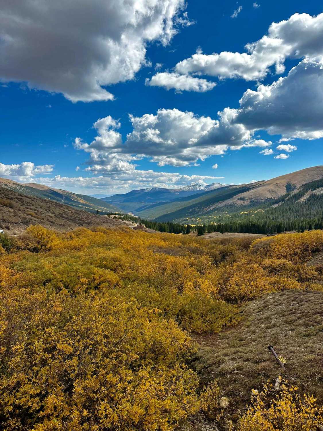
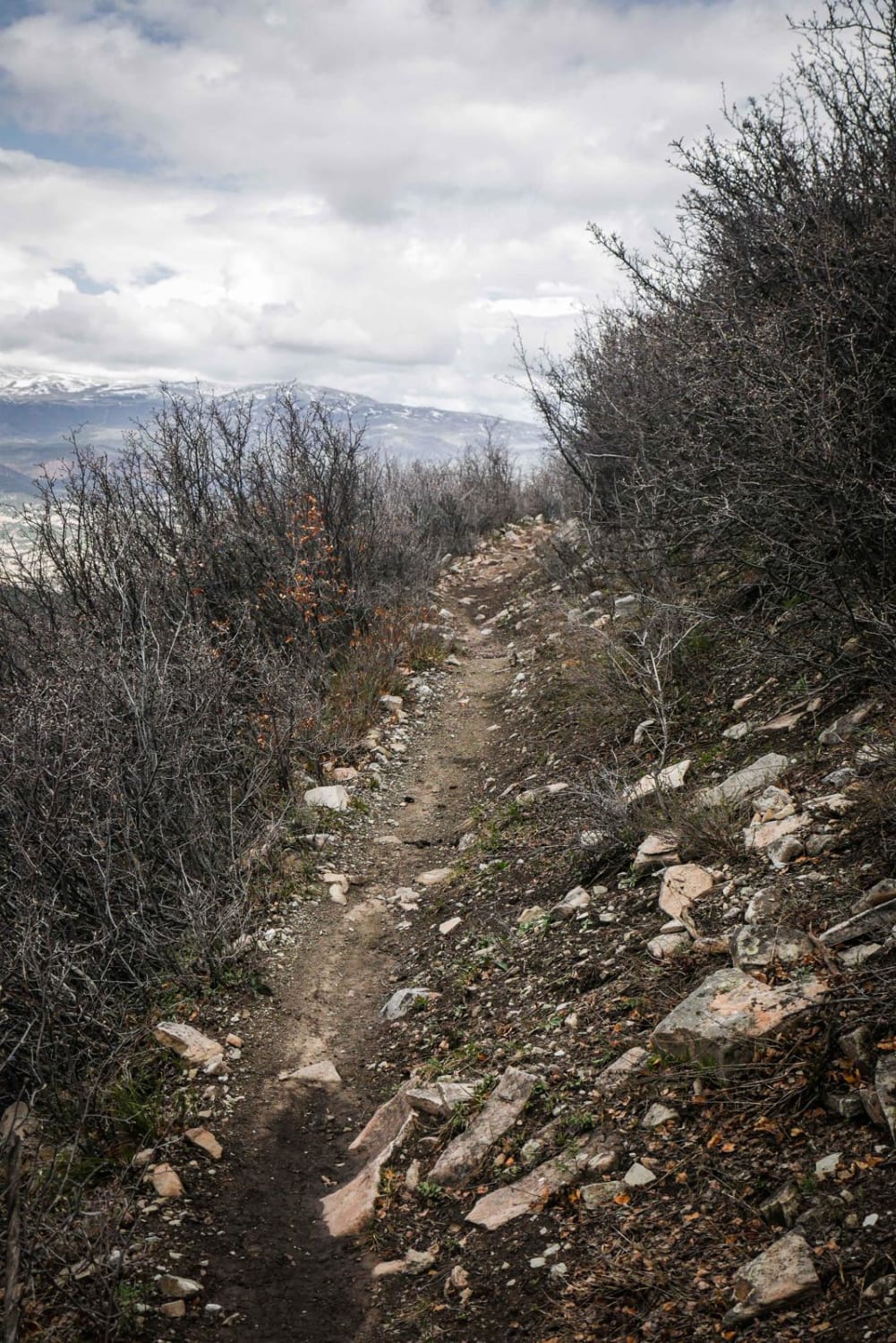
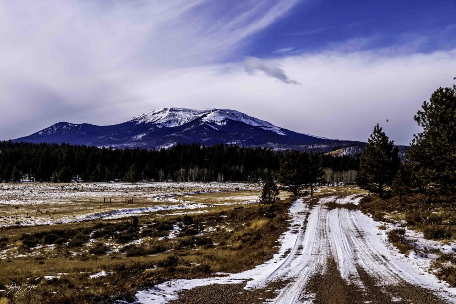
Trail Overview
Fantastic trail connecting the nearby towns Fairplay to Leadville. 4WD/AWD is recommended, however, it can be done in a decent 2WD vehicle with good ground clearance. The pass is completely accessible with a small travel trailer as well. Paid Camping is located at Weston Pass campgrounds and also plenty of dispersed camping along the trail within designated fire rings. Small locations may have up to 6 inches of water during spring runoff. There are rocks no larger than 6 inches. There is great hiking in the Buffalo Peaks Wilderness area along the Rich Creek Trailhead. At the summit of Weston Pass, there is a camp open for rental reservation "Weston Pass Hunt".
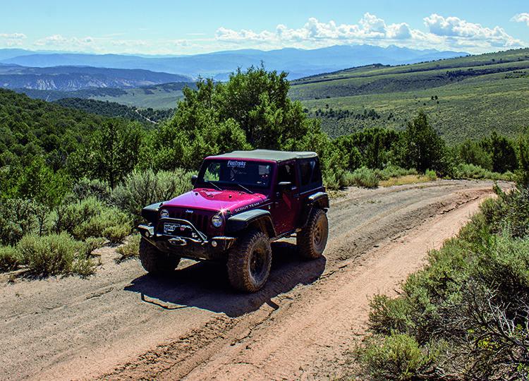
Photos of Weston Pass
Difficulty
The trail might have standing water / slight water crossing no deeper than 6 inches during snow melt. There are rocks no larger than 6 inches.
History
In the 1860s and 1870s, Weston Pass was a busy toll road for freight wagons and stagecoaches. At its peak, the road was used by hundreds each day. When the railroads reached Leadville in the early 1880s, use of the road declined rapidly. The numbered wagon-wheel signs along the road are part of an auto tour. A flyer for the tour can be picked up at forest ranger stations in Fairplay and Leadville or download from the Forest Service website.
Status Reports
Weston Pass can be accessed by the following ride types:
- High-Clearance 4x4
- SUV
Weston Pass Map
Popular Trails
Criterion Road - 430

Cowboy Lakes ATV
Dotsero Crater
The onX Offroad Difference
onX Offroad combines trail photos, descriptions, difficulty ratings, width restrictions, seasonality, and more in a user-friendly interface. Available on all devices, with offline access and full compatibility with CarPlay and Android Auto. Discover what you’re missing today!