NE Passage via Cimarron Canyon
Total Miles
118.7
Technical Rating
Best Time
Spring, Fall, Summer, Winter
Trail Type
Full-Width Road
Accessible By
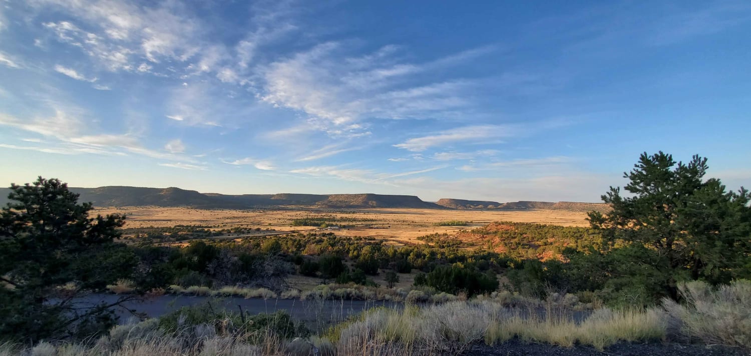
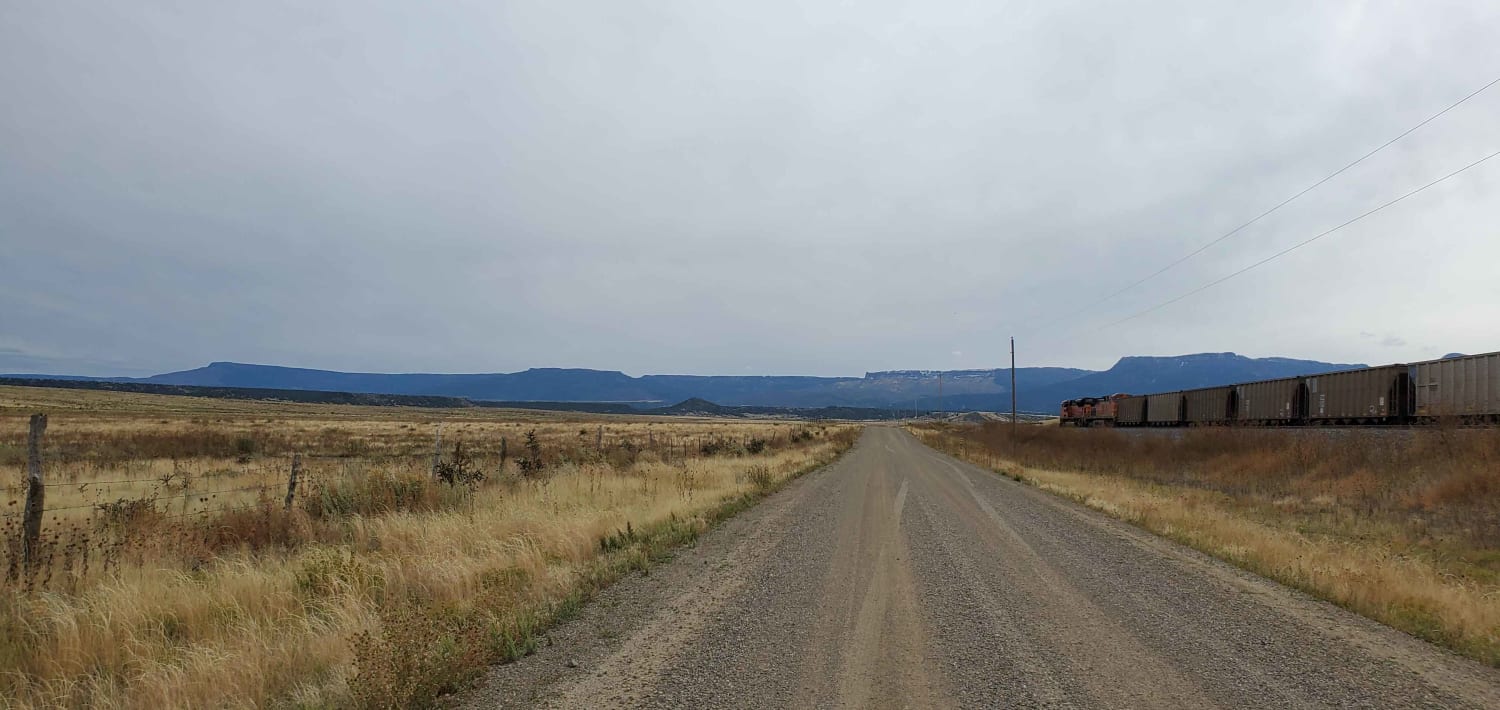
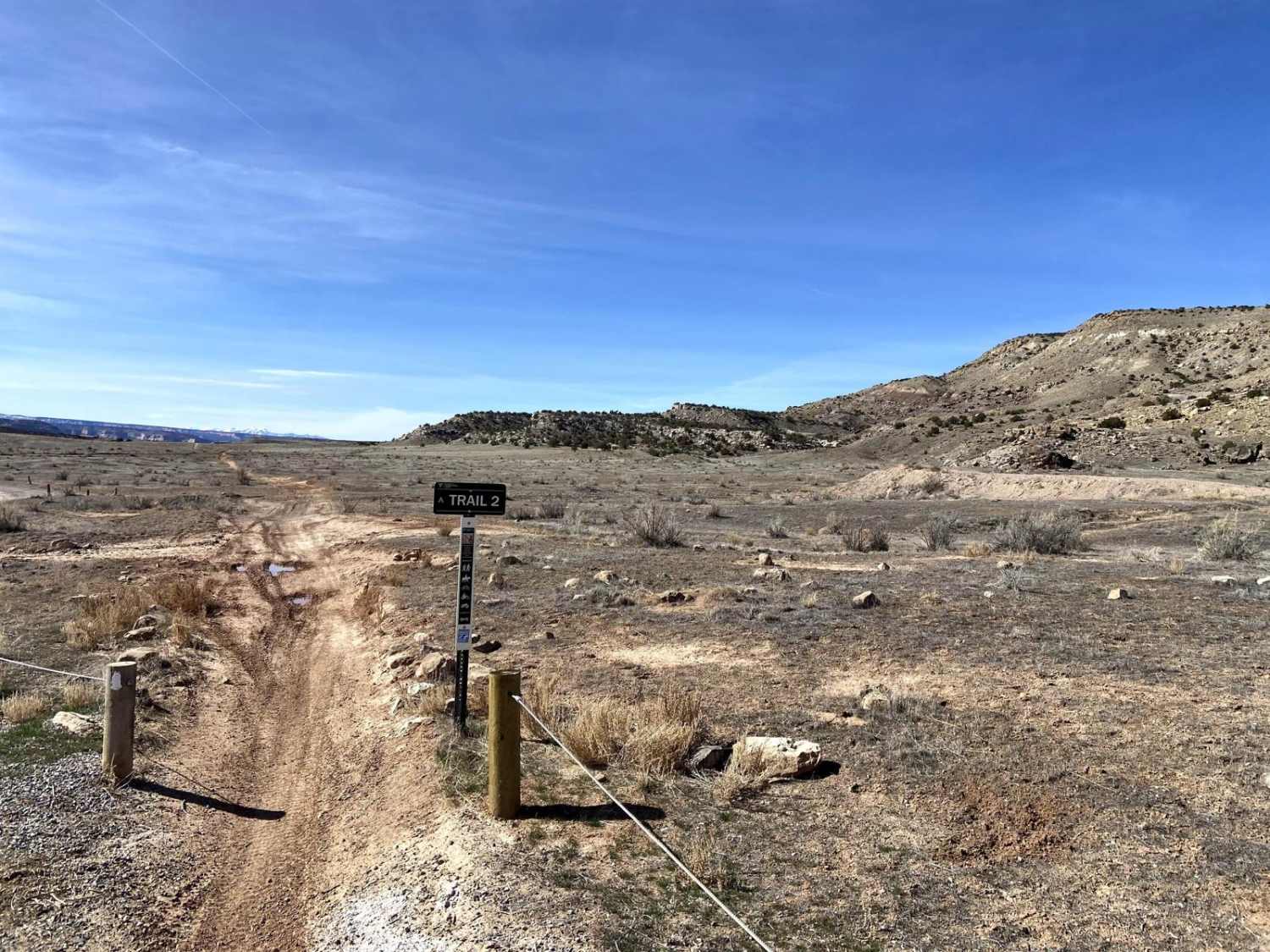
Trail Overview
This is a very long dirt road route connecting Clayton Lake State Park NM and Trinidad, Colorado. There is a shortcut that will eliminate approximately 20 miles (if you look at the route closely, it's evident where I'm talking about) In dry conditions, any vehicle with at least 5-6 inches of ground clearance can make it. It is mostly all flat with only only one dirt-inclined section. I saw a flock of turkeys and lots of cows (pictured) and two coyotes (not quick enough with the camera). Also, there is a gate you have to cross, just to be sure you leave it like you found it, which will probably be closed.
Photos of NE Passage via Cimarron Canyon
Difficulty
90% flat dirt road or flat dirt two-track. Only one dry creek bed to cross (pictured) and one section (200 yds) of approximately 5% incline.
Status Reports
NE Passage via Cimarron Canyon can be accessed by the following ride types:
- High-Clearance 4x4
- SUV
NE Passage via Cimarron Canyon Map
Popular Trails

Forest Road 380.2B
Santa Fe Trail

Crooked Creek/ Tilly Road
The onX Offroad Difference
onX Offroad combines trail photos, descriptions, difficulty ratings, width restrictions, seasonality, and more in a user-friendly interface. Available on all devices, with offline access and full compatibility with CarPlay and Android Auto. Discover what you’re missing today!