Tiger Trail
Total Miles
7.9
Technical Rating
Best Time
Spring, Summer, Fall
Trail Type
High-Clearance 4x4 Trail
Accessible By
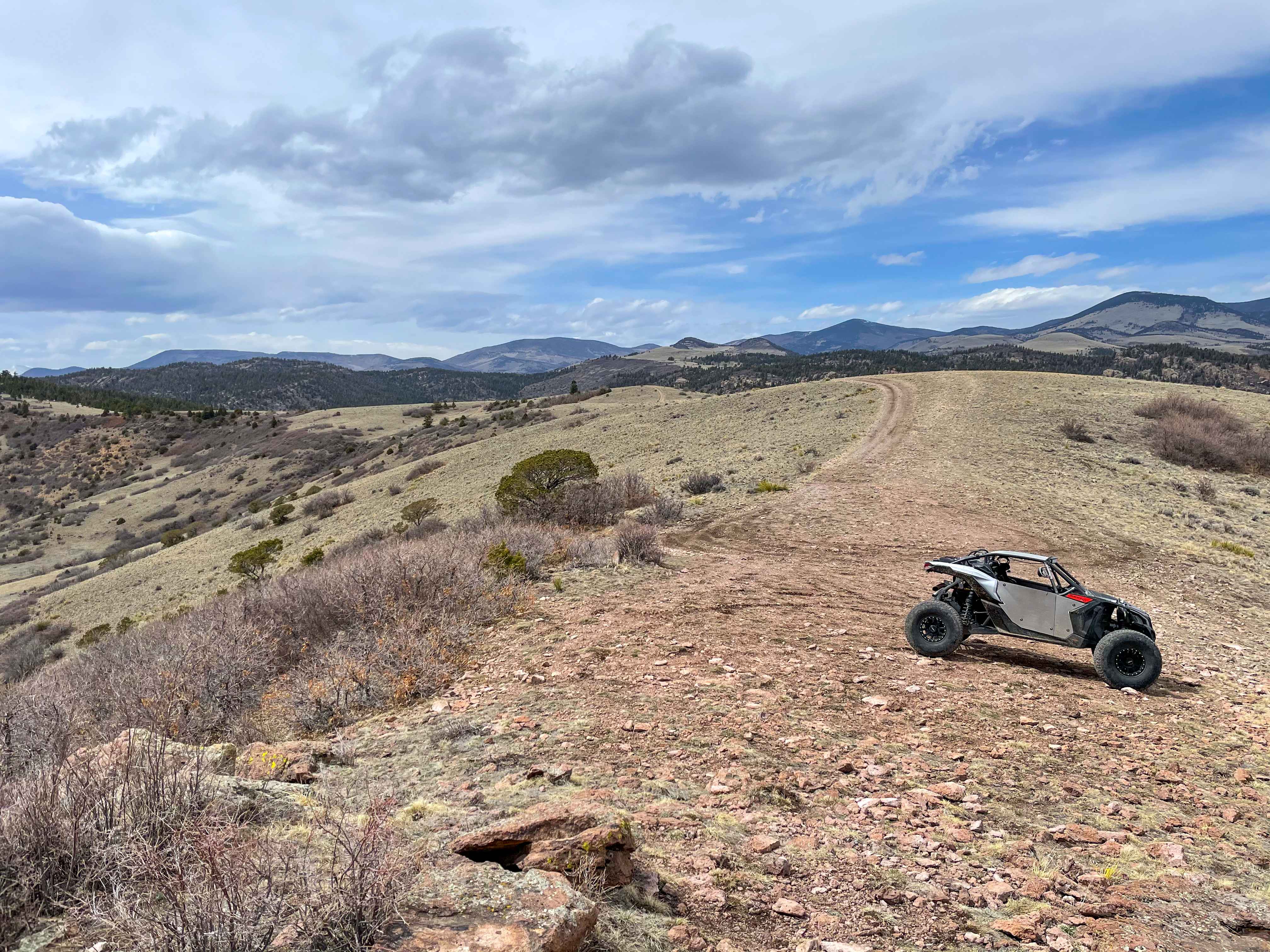
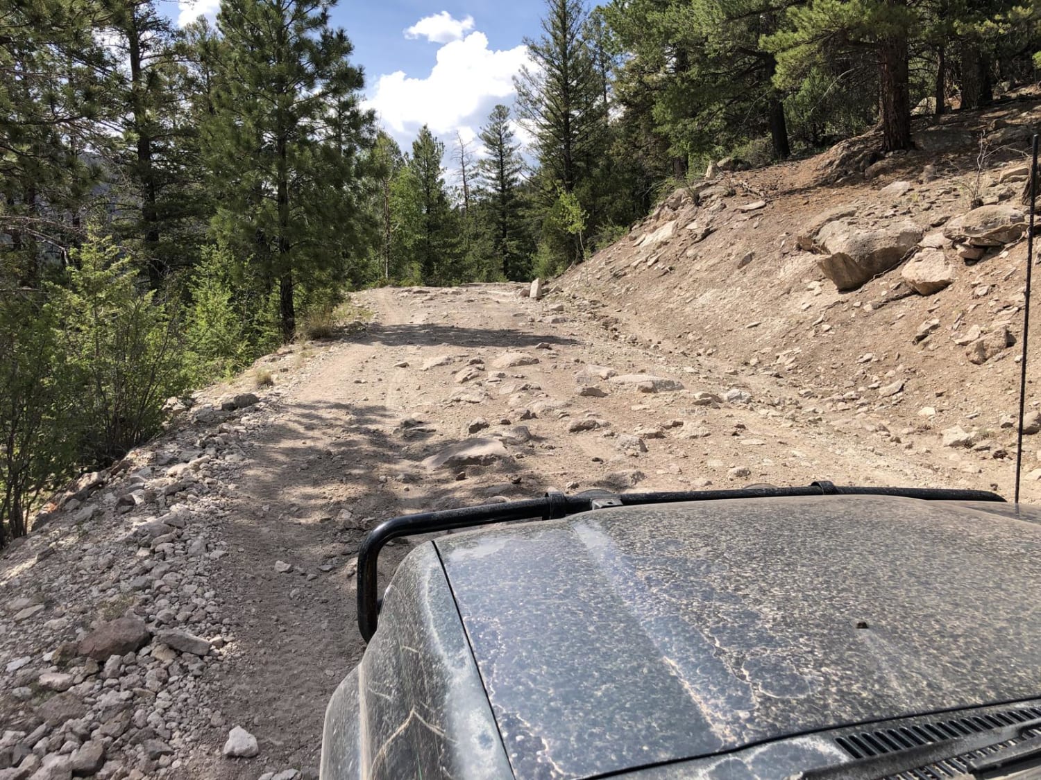
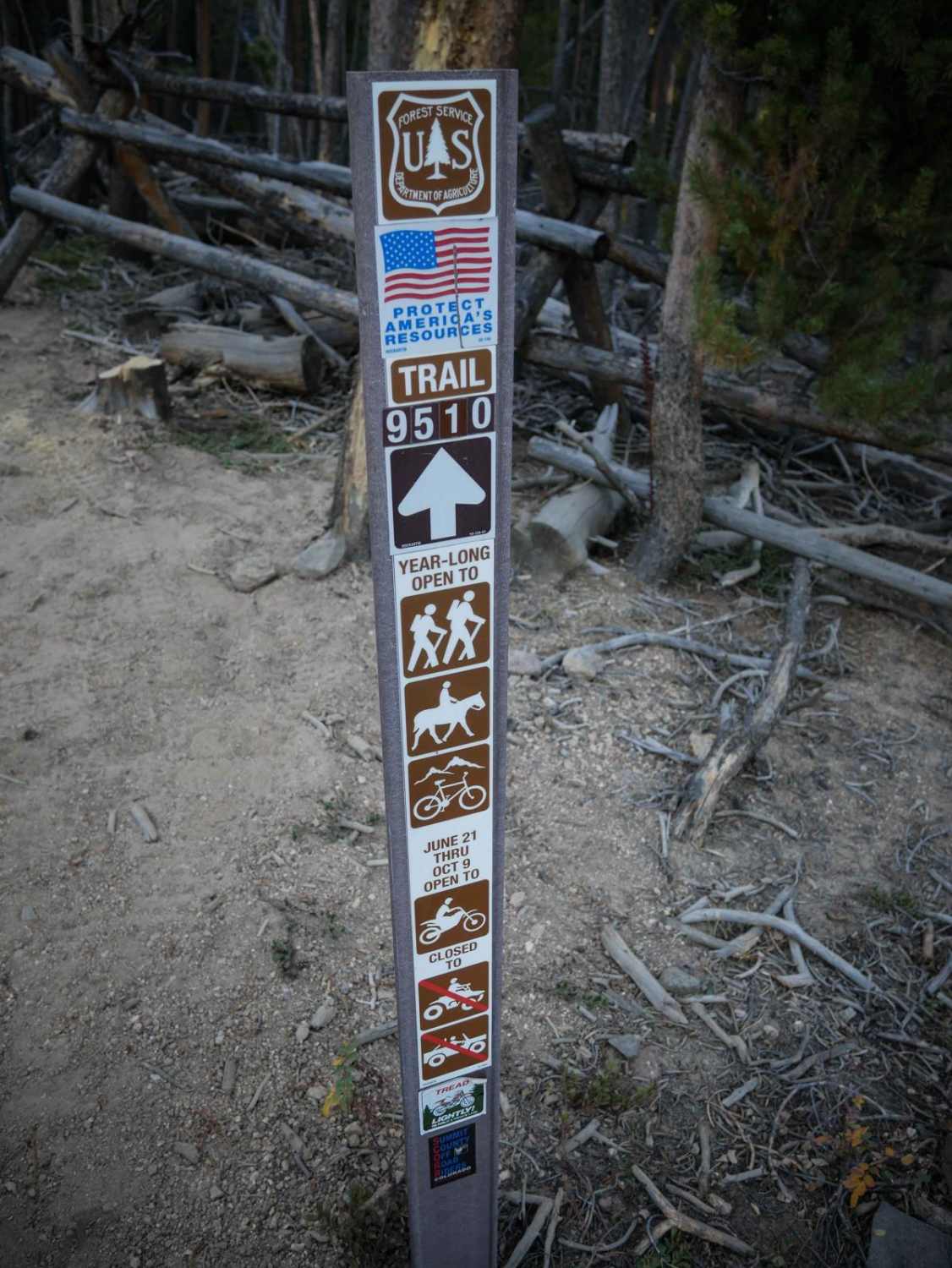
Trail Overview
This is a two-way trail that can only fit one vehicle for the majority but has multiple areas to pull off for passing. The trails are all marked with numbers and signs. The beginning of the trail is a rocky/dirt road with undulations and obstacles that are not difficult. After that, the trail transitions into a narrow sandy and rocky creek bed with multiple large rocks protruding into the trail. There are some off-camber areas as well. After the creek bed, there are switchbacks leading up the side of the mountain that are very rocky with big drop-offs on the side. The switchbacks have multiple pull-off areas that provide views of the surrounding mountain ranges. The top of the mountain is faster/smoother trails with isolated areas of rocky sections and one ledge/obstacle that has a bypass route. The end of the trail leads to a rocky outcrop point on the top of the mountain that overlooks the areas surrounding. In the spring, there are small areas of mud and snow spots. In the summer and fall it is mostly dry. Cellular service is spotty in some areas, but the majority of the area has no service. The closest town would be the area of the Royal Gorge and then Canon City, Colorado.
Photos of Tiger Trail

Difficulty
There are no real obstacles that a UTV cannot make, and most Jeeps/4x4s could make them as well.
Status Reports
Tiger Trail can be accessed by the following ride types:
- High-Clearance 4x4
- SxS (60")
- ATV (50")
- Dirt Bike
Tiger Trail Map
Popular Trails
Wheeler Geologic - via Alder Creek (FS610)
Coffee Pot Road
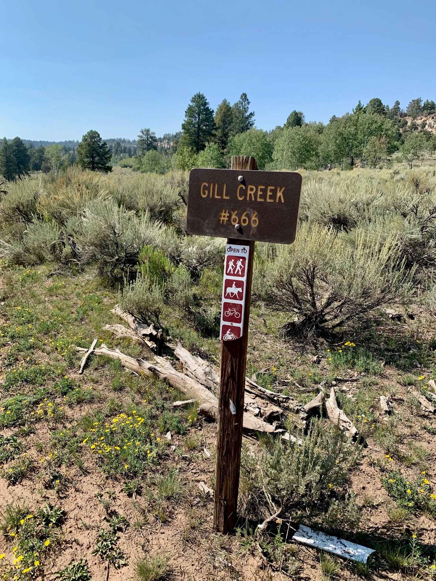
Gill Creek Loop 50"
The onX Offroad Difference
onX Offroad combines trail photos, descriptions, difficulty ratings, width restrictions, seasonality, and more in a user-friendly interface. Available on all devices, with offline access and full compatibility with CarPlay and Android Auto. Discover what you’re missing today!