West Fork Park Creek Ascent
Total Miles
9.4
Technical Rating
Best Time
Spring, Summer, Fall
Trail Type
Full-Width Road
Accessible By
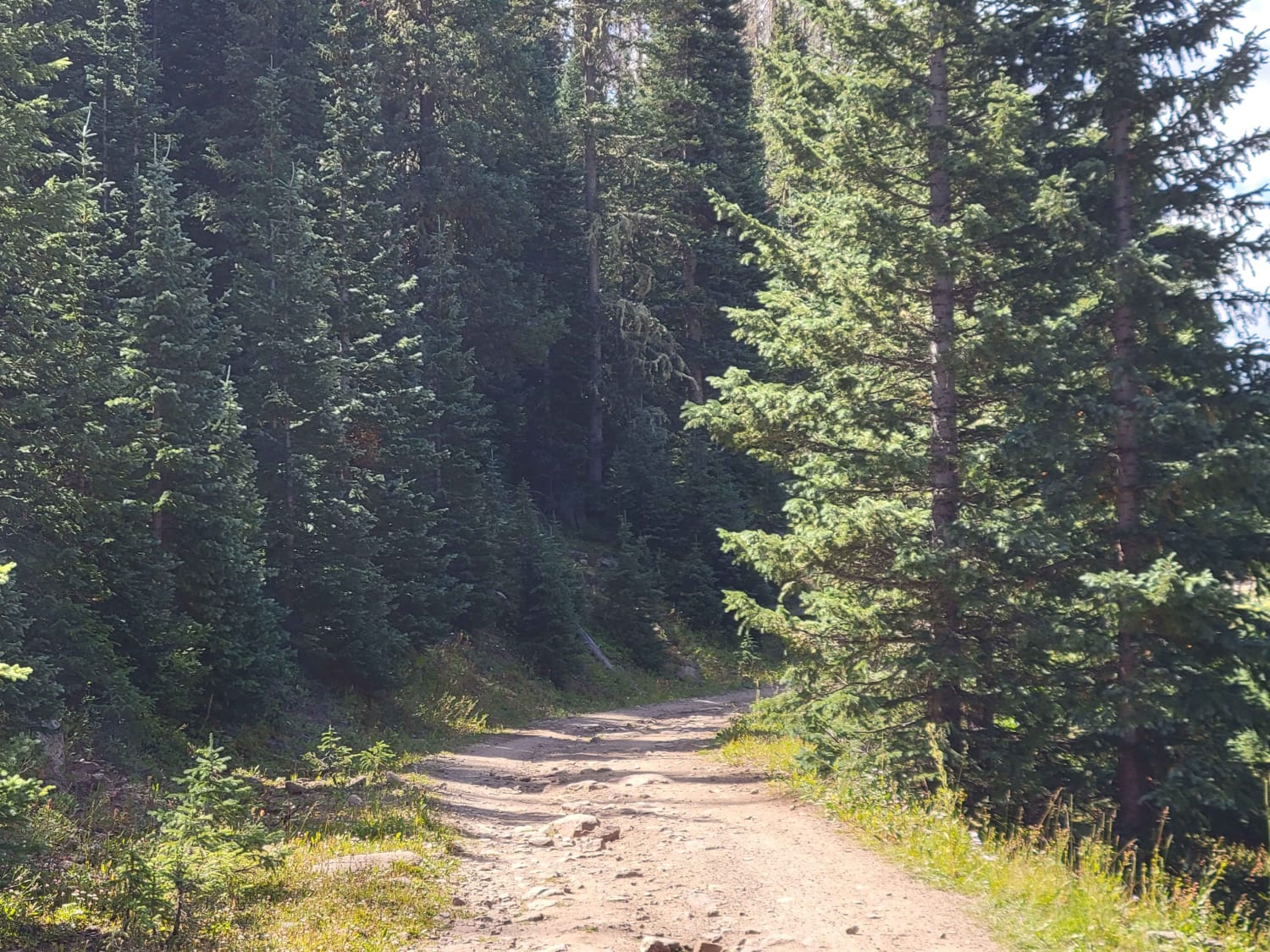
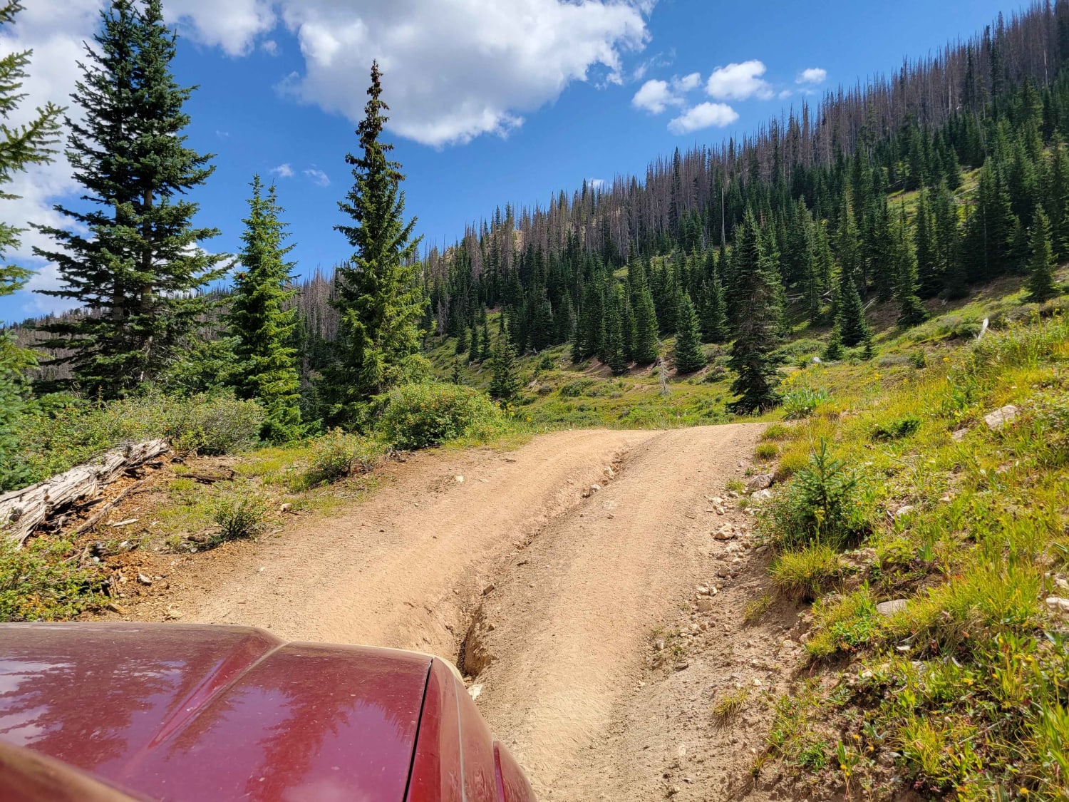
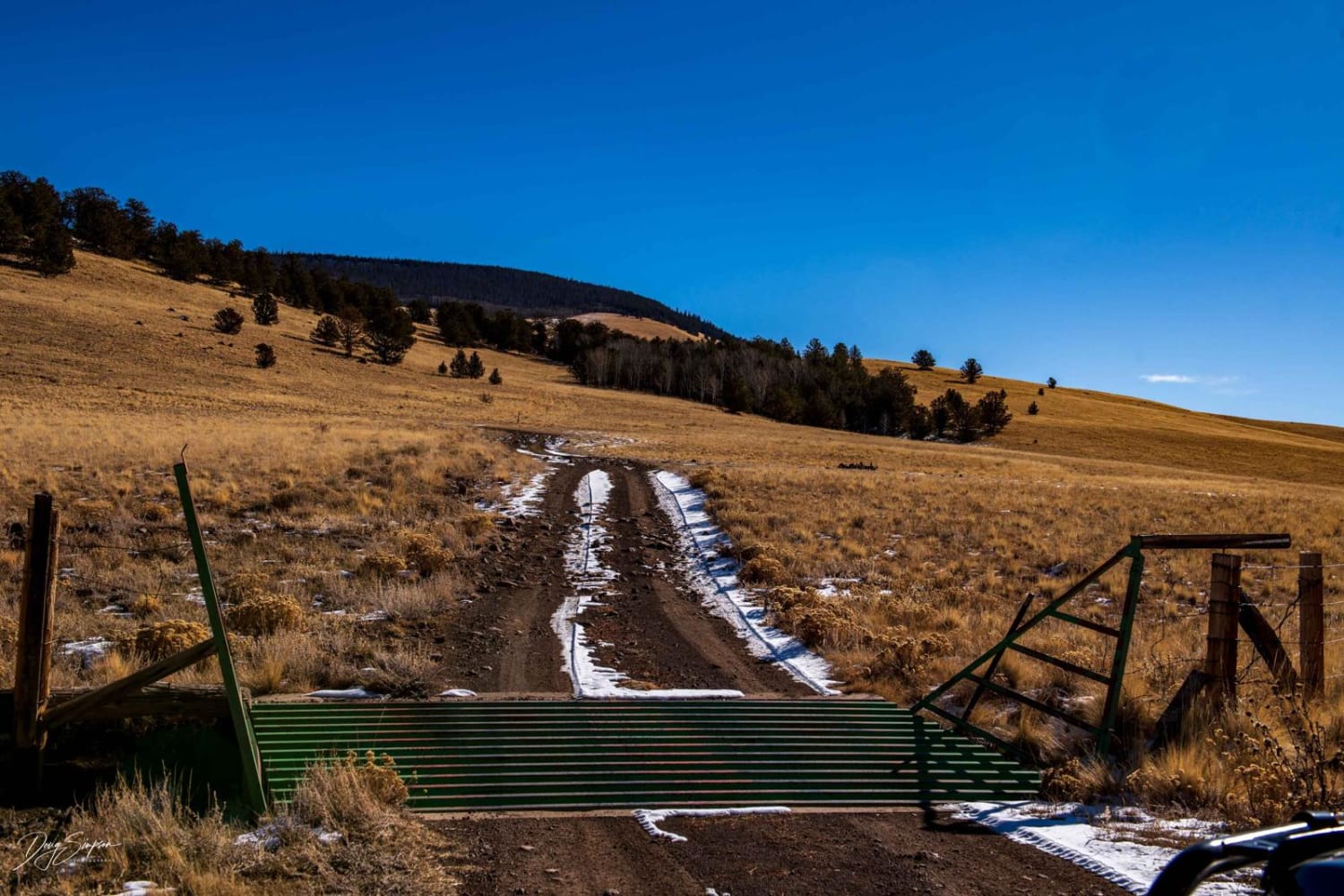
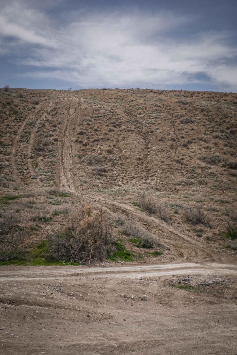
Trail Overview
This trail ascends from the Park Creek Valley up into the mountains around it. The trail starts by crossing Park Creek, and then follows the West Fork ascending to the rim above. The road features mountain views as you ascend through the pine forest. The trail itself is relatively easy, with a couple of mild rock gardens and an easy water crossing. Airing down will make the rocky portions more pleasant, but is not essential to completing the trail.CAUTION: the road continues on beyond the end of the marked portion. However, this road is not on the MVUM for this area as of 2021. Please respect the Forest Service rules and stick to the allowed trails.
Photos of West Fork Park Creek Ascent
Difficulty
This trail is not super difficult, but the water crossing at the start is sensitive to changing weather conditions. Additionally, the rock gardens will shake you up a bit, depending on how your suspension is setup. Washouts are present on the trail year round. Most vehicles with low range should be capable of reaching the top.
Status Reports
West Fork Park Creek Ascent can be accessed by the following ride types:
- High-Clearance 4x4
- SUV
- SxS (60")
- ATV (50")
- Dirt Bike
West Fork Park Creek Ascent Map
Popular Trails
39 Mile Mountain Road
Morrison Trail (Part 1)
Capitol Creek Road
The onX Offroad Difference
onX Offroad combines trail photos, descriptions, difficulty ratings, width restrictions, seasonality, and more in a user-friendly interface. Available on all devices, with offline access and full compatibility with CarPlay and Android Auto. Discover what you’re missing today!