Carbon Trail
Total Miles
10.0
Technical Rating
Best Time
Fall, Summer
Trail Type
Single Track
Accessible By
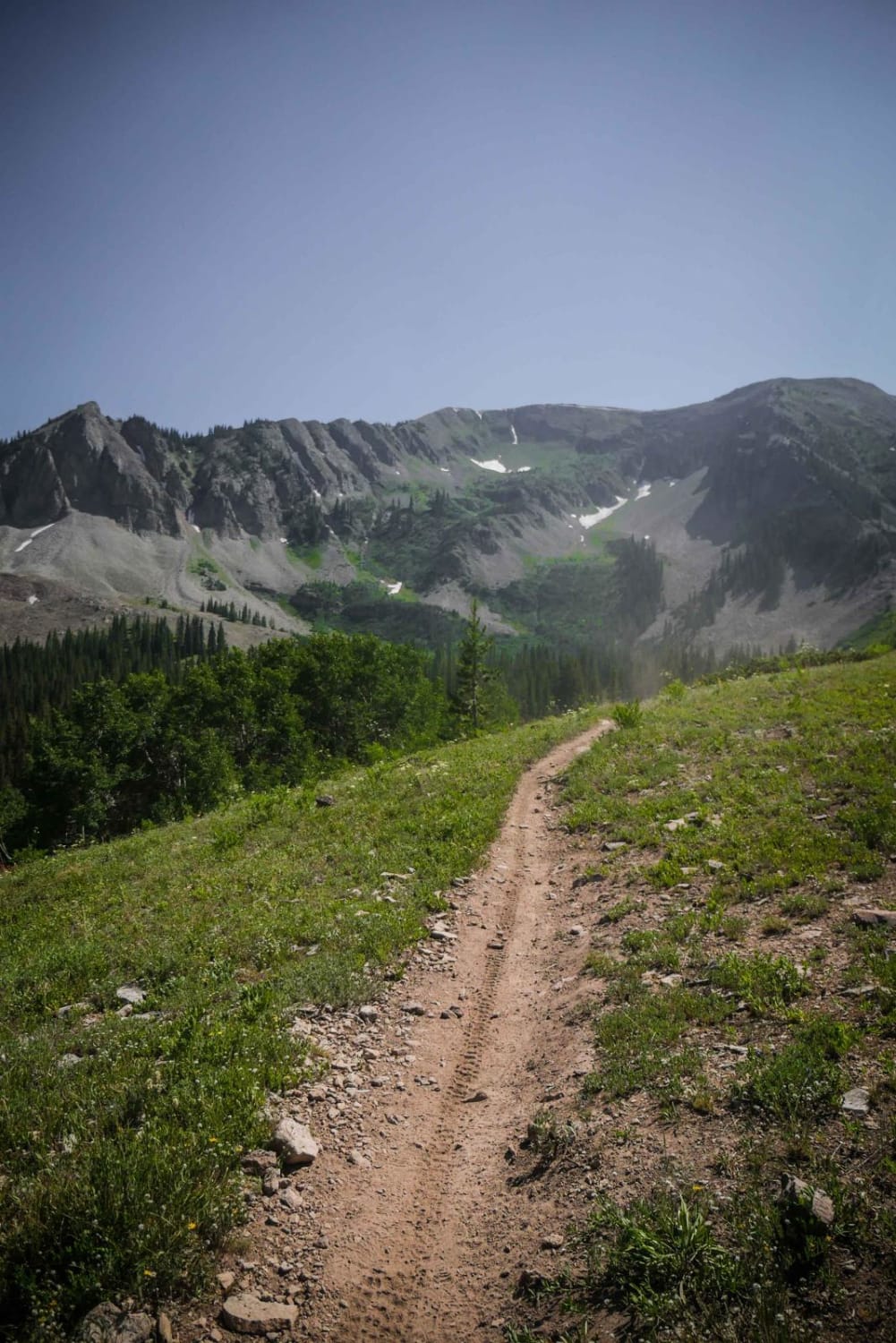
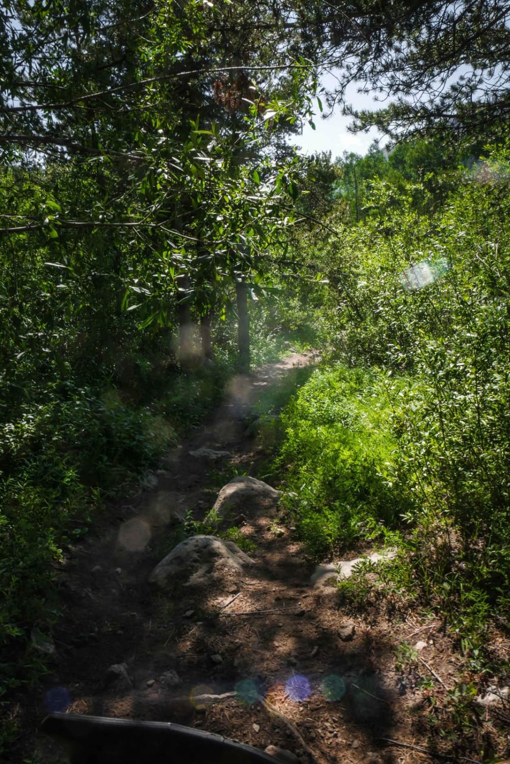
Trail Overview
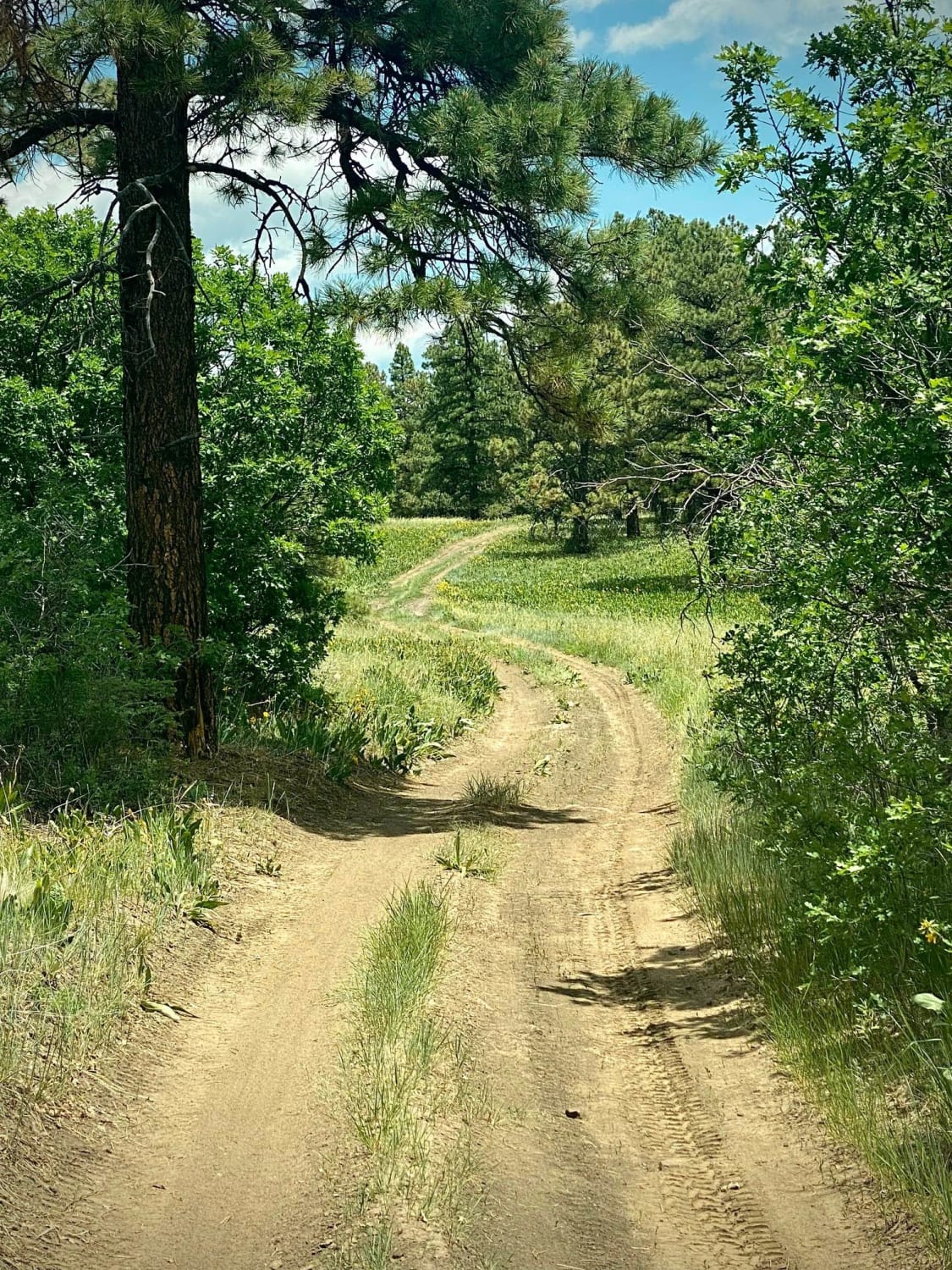
Carbon Trail is a 10-mile single-track near the town of Crested Butte, Colorado, that starts off of Kebler Pass with a big creek crossing through Coal Creek. It's not super deep but still requires some technique to get across smoothly. Most of the trail is a wide rocky surface through a beautiful forest of pine and aspen trees, and it gets up to a great view of Mount Crested Butte. There may be a lot of downfall on this trail, but it's likely that many of the logs will be cut because this is a popular trail and so close to town. The first half of the trail is super rocky, with big boulders and small roots in the trail and sections of talus, as it climbs 2,200 feet up to a saddle. The second half is faster and more flowy as it descends from the saddle towards Ohio Creek Road. It smooths out and follows a creek in a meadow. This trail will likely be ridden as a standalone trail because it is the only one on the west side of Highway 135, and gets a lot of traffic from mountain bikers as well.
Photos of Carbon Trail
Difficulty
This is an intermediate trail with rocky sections, including boulders and talus.
Status Reports
Carbon Trail can be accessed by the following ride types:
- Dirt Bike
Carbon Trail Map
Popular Trails

Eight Mile Mesa E-USFS Rd #651E
The onX Offroad Difference
onX Offroad combines trail photos, descriptions, difficulty ratings, width restrictions, seasonality, and more in a user-friendly interface. Available on all devices, with offline access and full compatibility with CarPlay and Android Auto. Discover what you’re missing today!