Behind the Rocks
Total Miles
0.5
Technical Rating
Best Time
Spring, Summer, Fall
Trail Type
Single Track
Accessible By
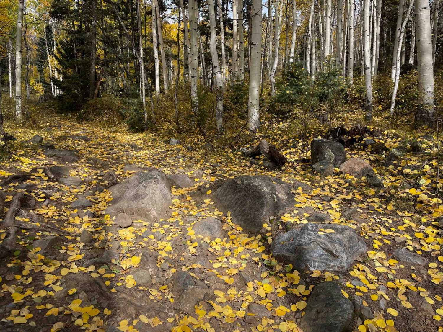
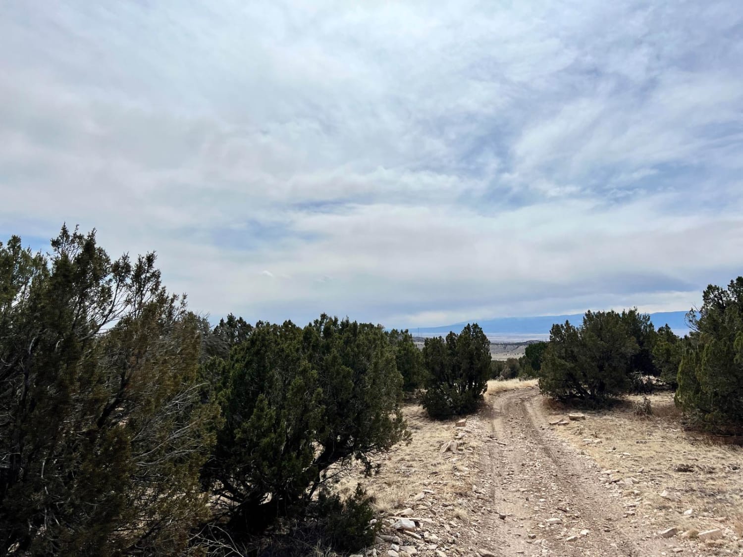
Trail Overview
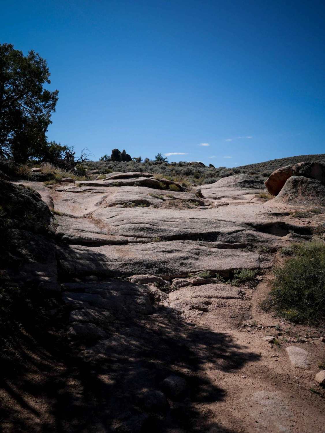
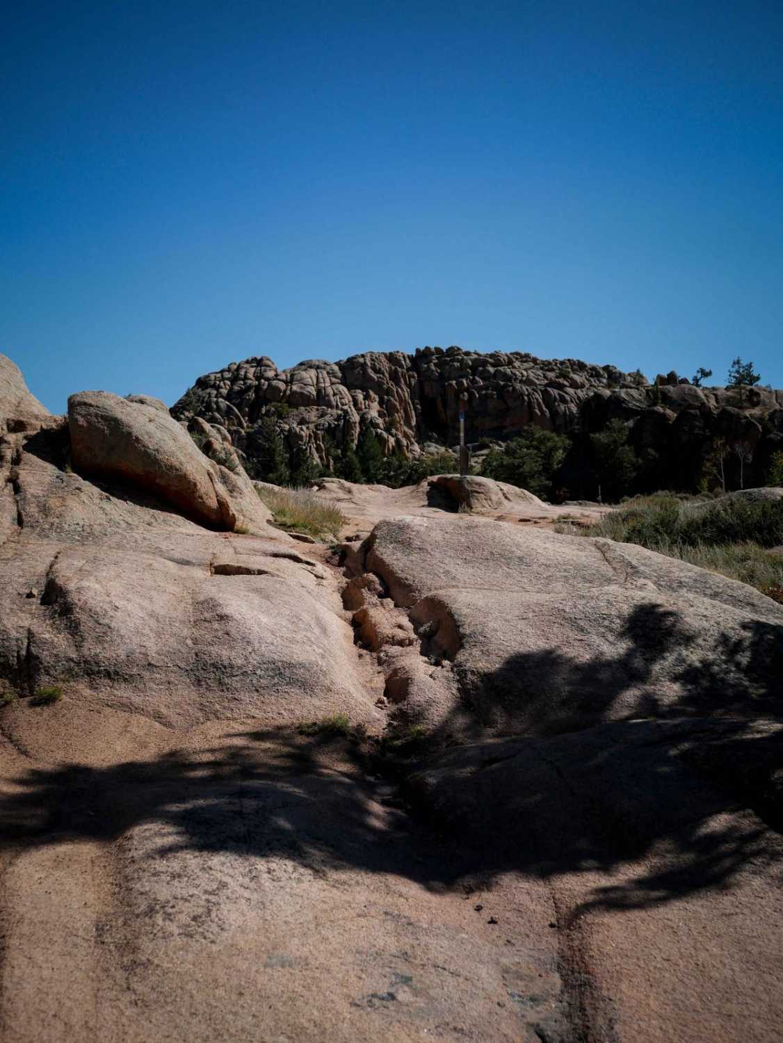
Behind the Rocks is a really fun ride consisting of mostly over slick rock within the Hartman Rocks Trail System. It enters the slickrock right away from the north end, riding over long sections of embedded rock slab. Most of the slickrock is like a ramp, providing lots of traction, and not being too steep. There are spots where it's more like a series of small ledges, but they are still easy for the average rider, as they are ramped and wide, so there are multiple lines to choose from. It keeps riding over the slab, goes past a fence, through some little aspen trees, and against a tall rock wall, making it really scenic and unique. There are a couple sign posts in the rock slab to follow, but you want to have a map here during the rock slab sections as there are some turns that are easy to miss since you can't see all the tracks on the rock. It ends at the intersection with Freefall, which is more advanced. Behind the Rocks is a really fun one for mountain bikers as well, so be prepared to see other trail users.
Photos of Behind the Rocks
Difficulty
This is an intermediate trail that has some moderate rock slab features throughout the short distance, but they are not overly difficult and should be manageable for the average rider.
Status Reports
Behind the Rocks can be accessed by the following ride types:
- Dirt Bike
Behind the Rocks Map
Popular Trails
Carson Road/Wagner Gulch Road
Lenhardy Cutoff FS 376
Beaver Creek Lookout - BLM#6102J
The onX Offroad Difference
onX Offroad combines trail photos, descriptions, difficulty ratings, width restrictions, seasonality, and more in a user-friendly interface. Available on all devices, with offline access and full compatibility with CarPlay and Android Auto. Discover what you’re missing today!