679 Tornado Alley
Total Miles
3.4
Technical Rating
Best Time
Spring, Summer, Fall
Trail Type
Single Track
Accessible By
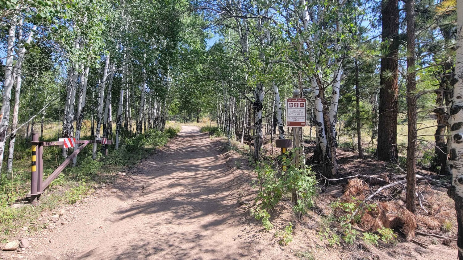
Trail Overview
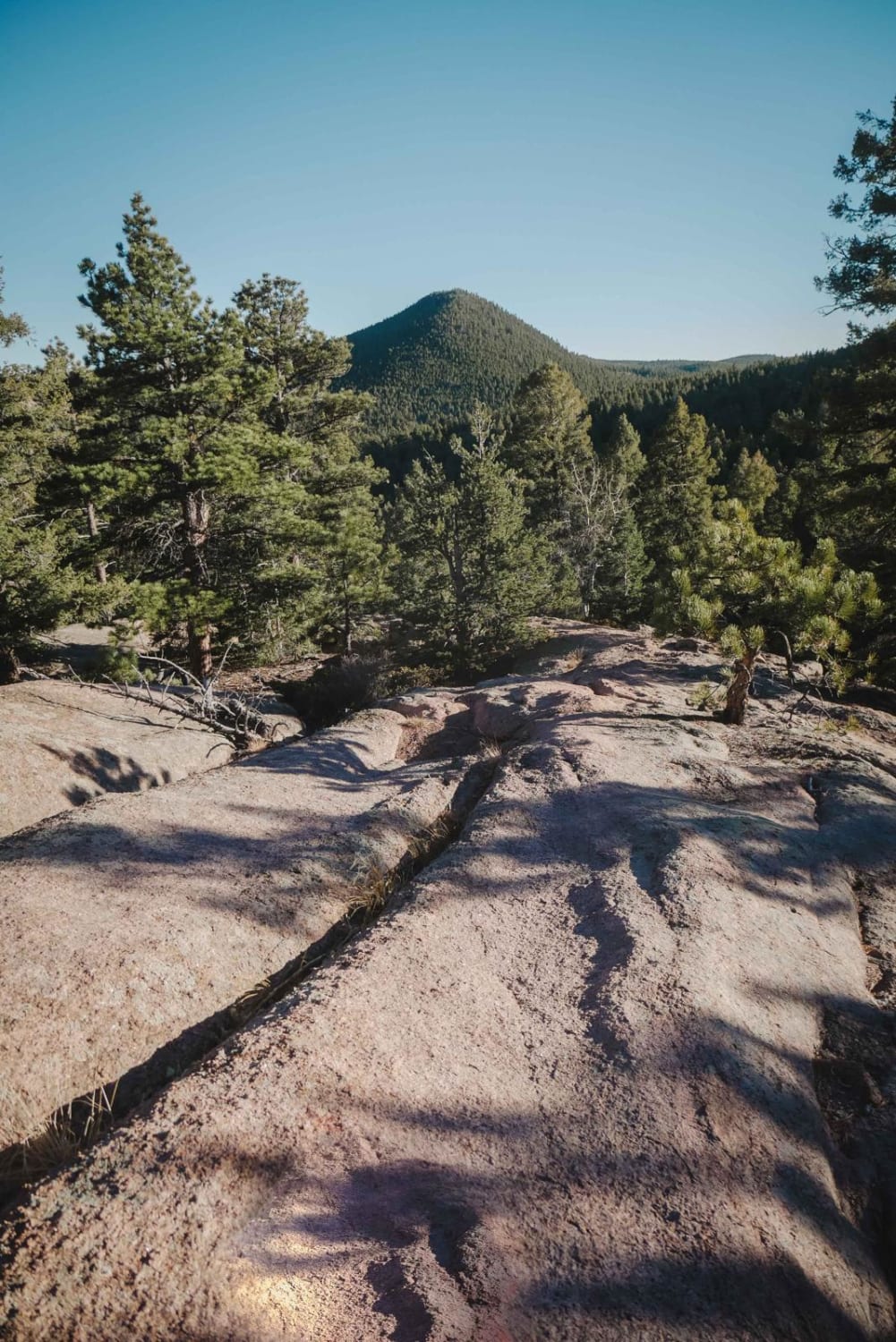
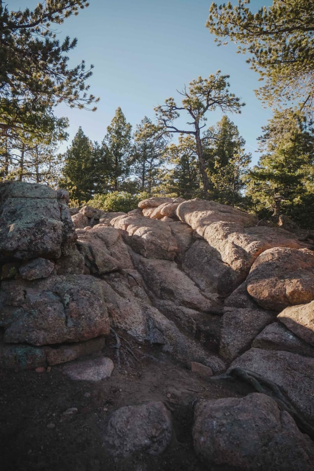
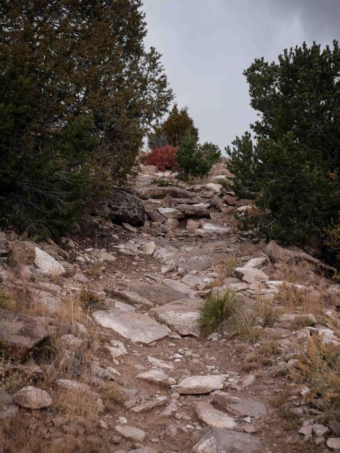
Tornado Alley is a technical single track in Rampart Range with several advanced rock problems. Starting on Jackson Creek South Road, it crosses over the creek on a wooden bridge and then climbs straight up from the creek. It's steep and would be a tricky climb for an inexperienced rider. It continues as a narrow shelfy single track on the side of a mountain, sometimes up against granite boulder walls. It has several switchbacks that aren't too difficult and are like long sweeping hairpin turns, but sometimes with embedded boulders. This trail has tons of elevation gain, as it climbs over 1,000 feet in 3.6 miles. There are several rock obstacles made up of embedded slab rock and the trail goes up big boulders where you need to stay on the high points to avoid getting pinched between the rocks. It also goes through rock pinches. There are a couple of splits for double black diamond versus single black diamond and an optional Rock Loop. The Rock Loop gets you up on top of a huge boulder spine, and you ride along the slab rock face with a couple of rock ledges. The Rock Loop can be totally bypassed if you choose not to ride it. Overall this trail is pretty difficult because of many frequent rock problems and is one of the harder single tracks in the area.
Photos of 679 Tornado Alley
Difficulty
This is an advanced single track due to many technical rock problems including big rock ledges and pinches all throughout the trail.
Status Reports
679 Tornado Alley can be accessed by the following ride types:
- Dirt Bike
679 Tornado Alley Map
Popular Trails
Missouri Gulch - FR 347
Little Cottonwood Cr.

The onX Offroad Difference
onX Offroad combines trail photos, descriptions, difficulty ratings, width restrictions, seasonality, and more in a user-friendly interface. Available on all devices, with offline access and full compatibility with CarPlay and Android Auto. Discover what you’re missing today!