Switzerland Trail - North
Total Miles
2.8
Technical Rating
Best Time
Fall, Summer, Spring
Trail Type
Full-Width Road
Accessible By
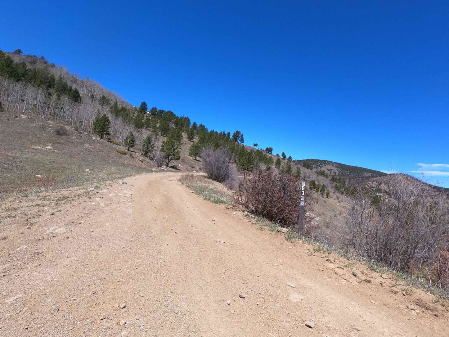
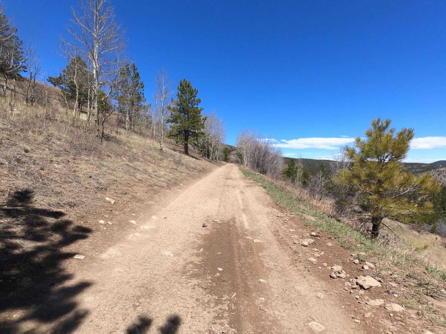
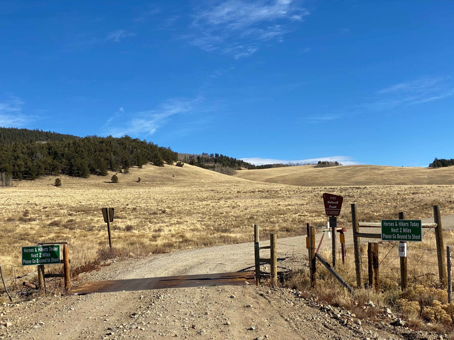
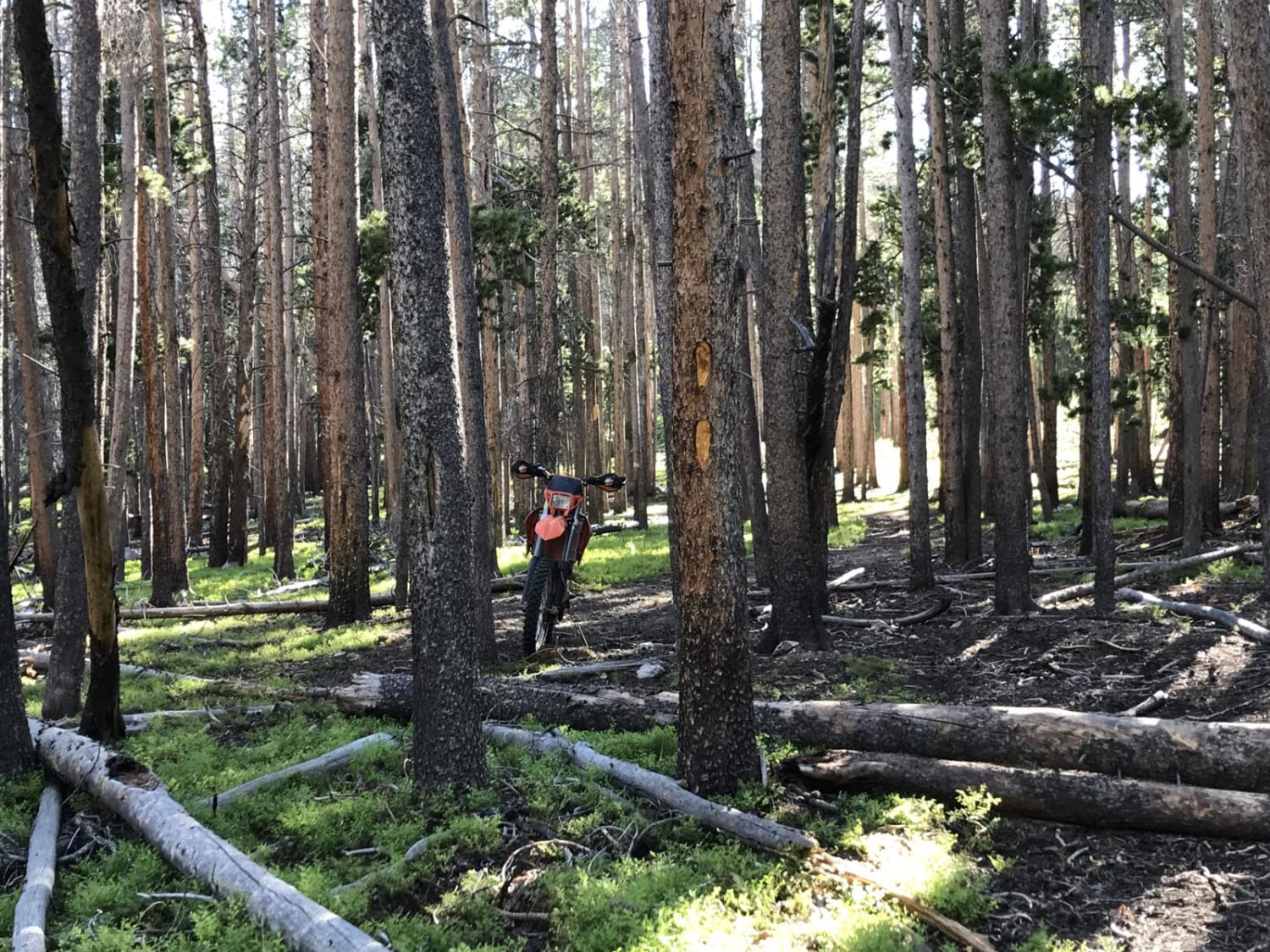
Trail Overview
This trail continues from the famous Switzerland Trail on the north side of Gold Hill Road and exits on Sawmill Road. It offers varied rocky terrain similar to the southern Switzerland Trail, with the addition of deep mud holes, scenic views, and an early option to explore the in-and-out Knob Hill trail. Unlike other sections of the Switzerland Trail, this side often becomes impassable in winter due to large snow drifts.
Photos of Switzerland Trail - North
Difficulty
Overall the trail is fairly easy, however, it can have areas where water collects into very deep pools on the trail. Some points are narrow with no good spots to allow passing, so be cautious around corners and curves.
History
The Switzerland Trail in Colorado's Front Range follows the path of a historic narrow gauge railroad from the late 19th and early 20th centuries. Initially built in 1883 and expanded until a flood in 1894, the line was revived and gained popularity as a tourist attraction named the "Switzerland Trail." Despite its decline due to harsh winters, the rise of automobiles, and mine closures, the route--spanning about 30 miles and reaching elevations over 9,000 feet--was crucial for transporting ore and tourists through key mining towns like Nederland and Ward. Today, it serves as a popular hiking, biking, and 4x4 trail known for its scenic views and gentle grades.
Status Reports
Switzerland Trail - North can be accessed by the following ride types:
- High-Clearance 4x4
- SUV
- SxS (60")
- ATV (50")
- Dirt Bike
Switzerland Trail - North Map
Popular Trails
Lost Park Road

Reese Road - FS 844
The onX Offroad Difference
onX Offroad combines trail photos, descriptions, difficulty ratings, width restrictions, seasonality, and more in a user-friendly interface. Available on all devices, with offline access and full compatibility with CarPlay and Android Auto. Discover what you’re missing today!