Off-Road Trails in Arizona
Discover off-road trails in Arizona
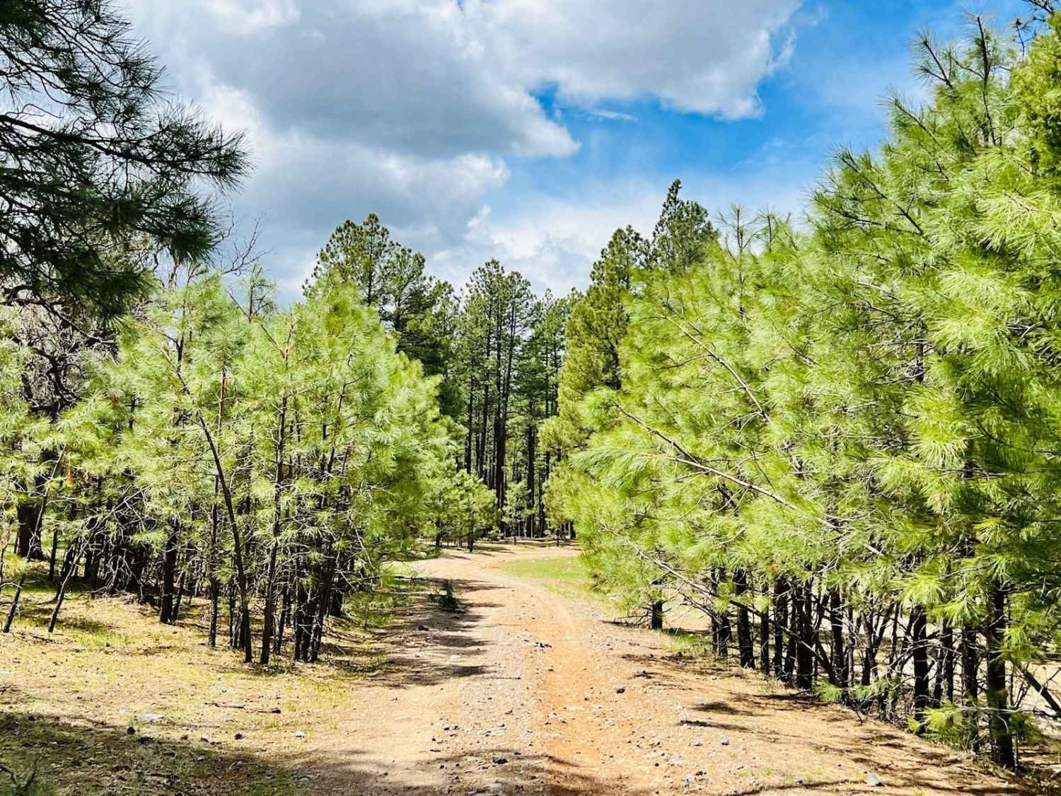
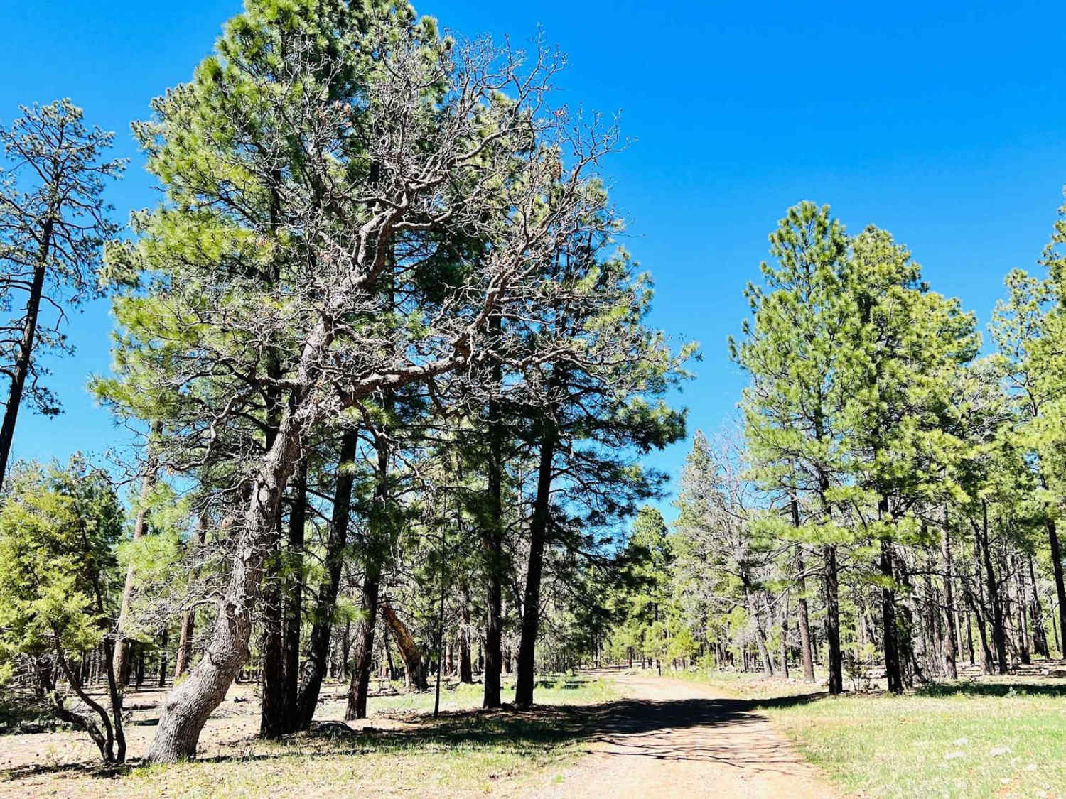
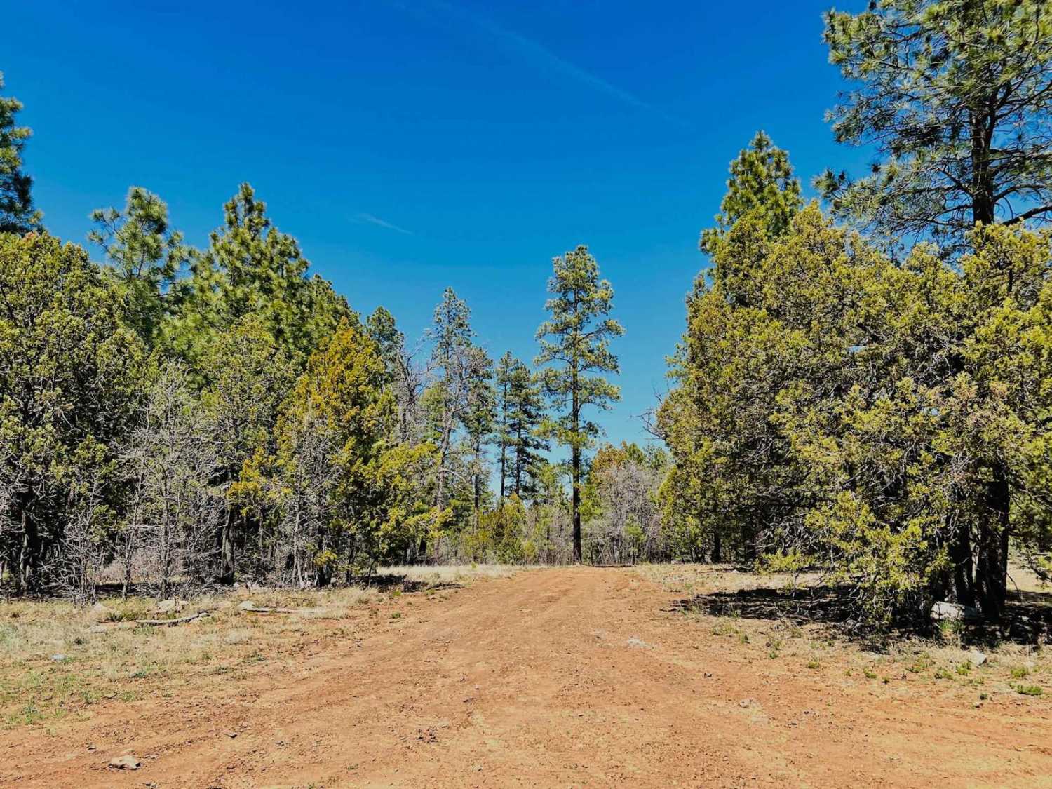
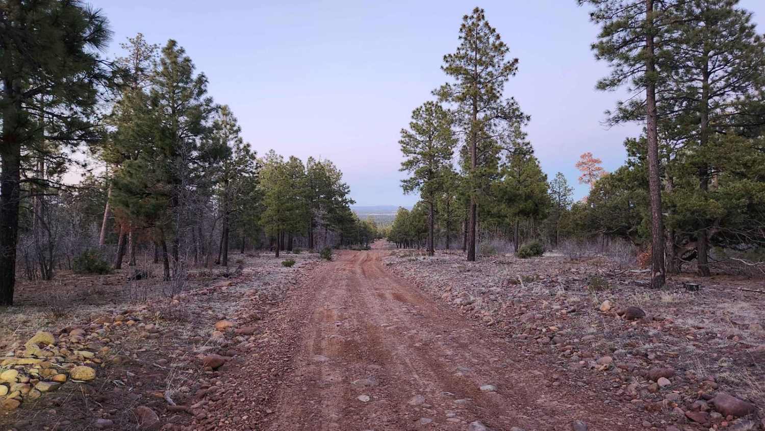
Learn more about FR-142F Little View
FR-142F Little View
Total Miles
2.8
Tech Rating
Easy
Best Time
Spring, Summer, Fall
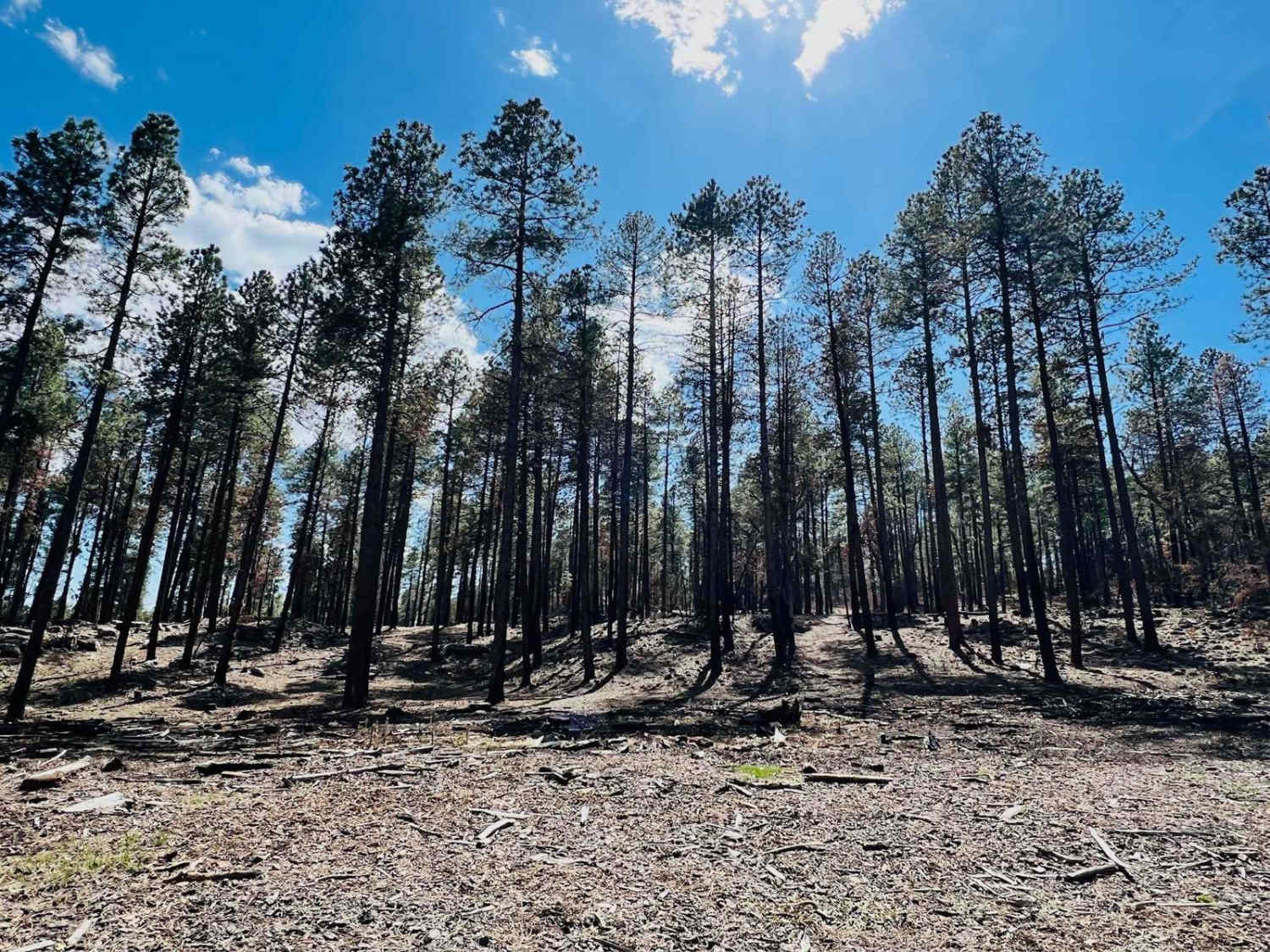
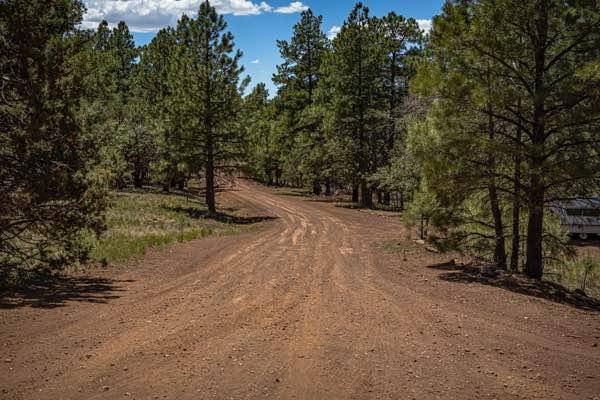
Learn more about FR-6362 More Trees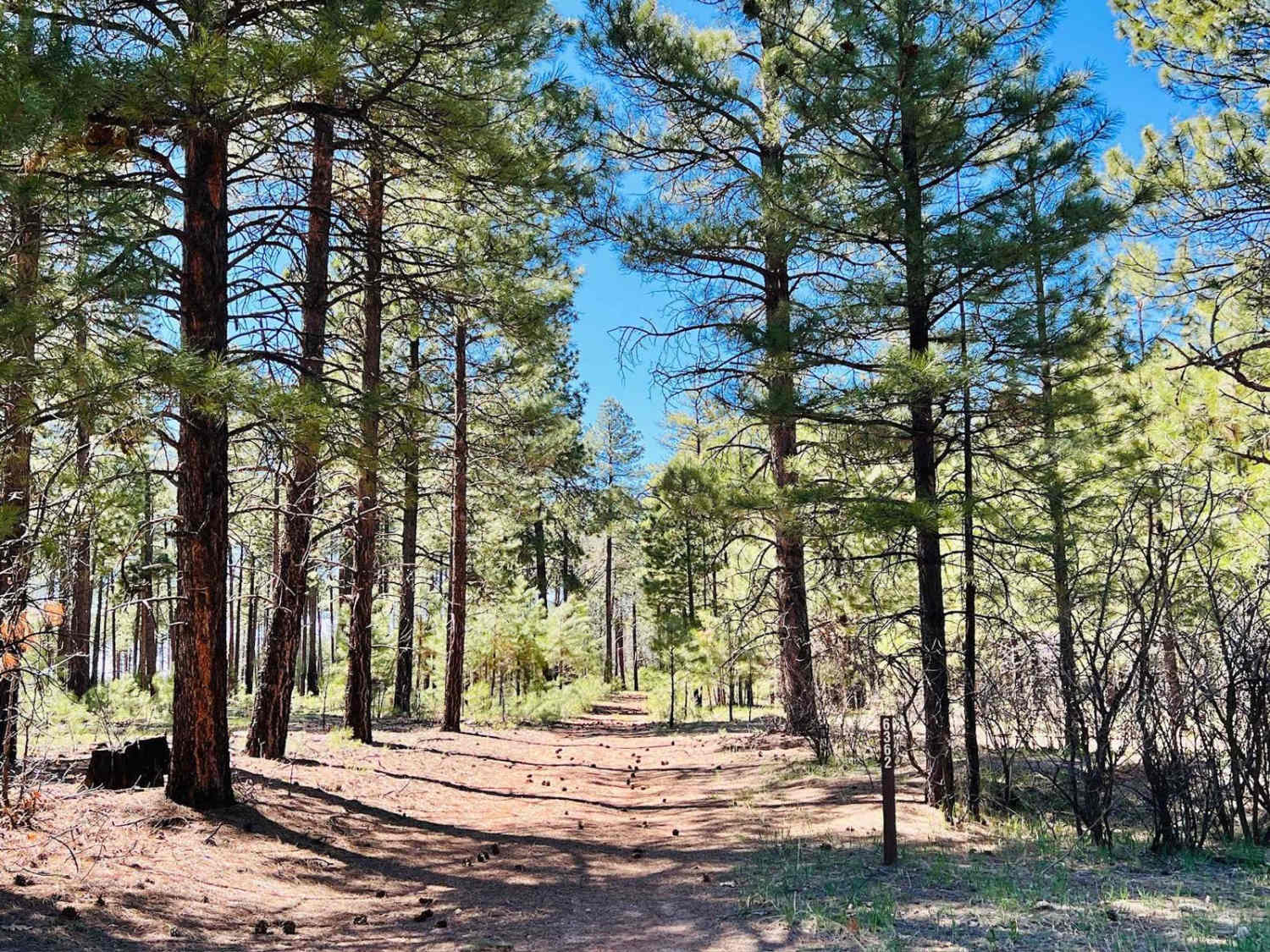
FR-6362 More Trees
Total Miles
1.0
Tech Rating
Easy
Best Time
Spring, Summer, Fall
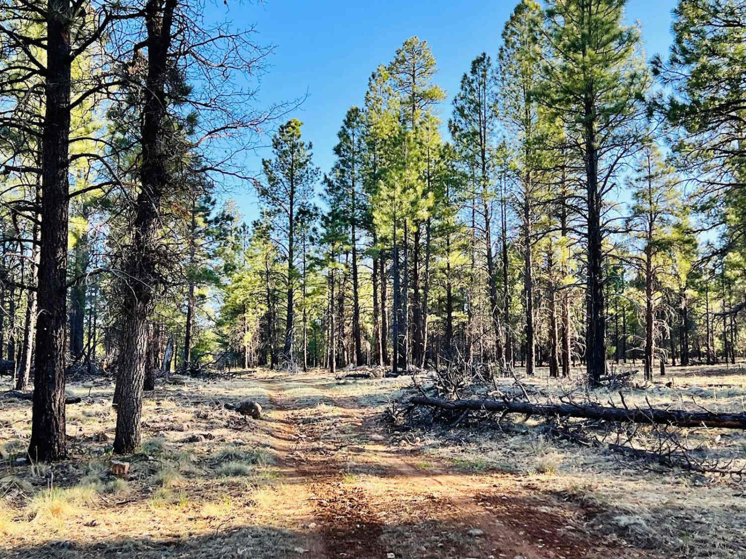
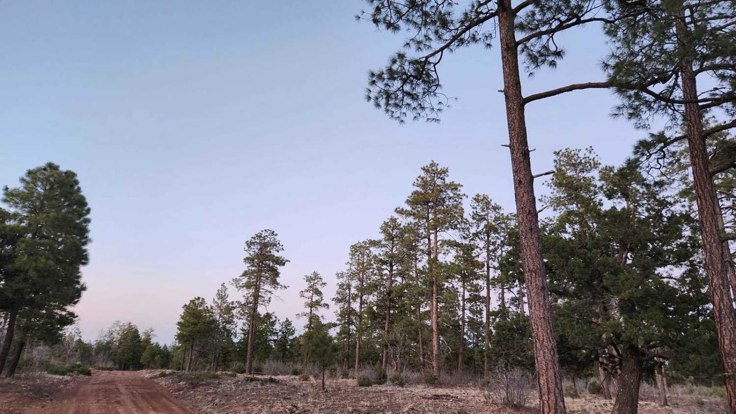
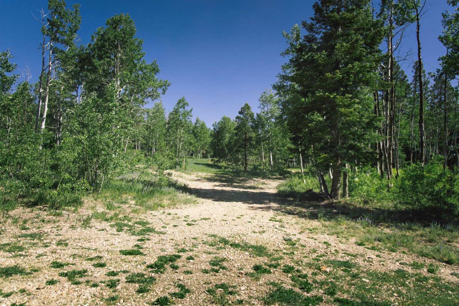
Learn more about FR-6363 No View
FR-6363 No View
Total Miles
1.1
Tech Rating
Easy
Best Time
Spring, Summer, Fall
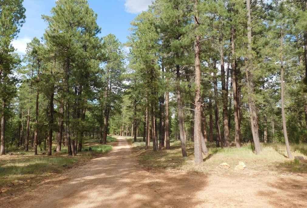
Learn more about FR-6367 A Trio of Choices
FR-6367 A Trio of Choices
Total Miles
1.3
Tech Rating
Easy
Best Time
Spring, Summer, Fall

Learn more about FR138 Along the Ridge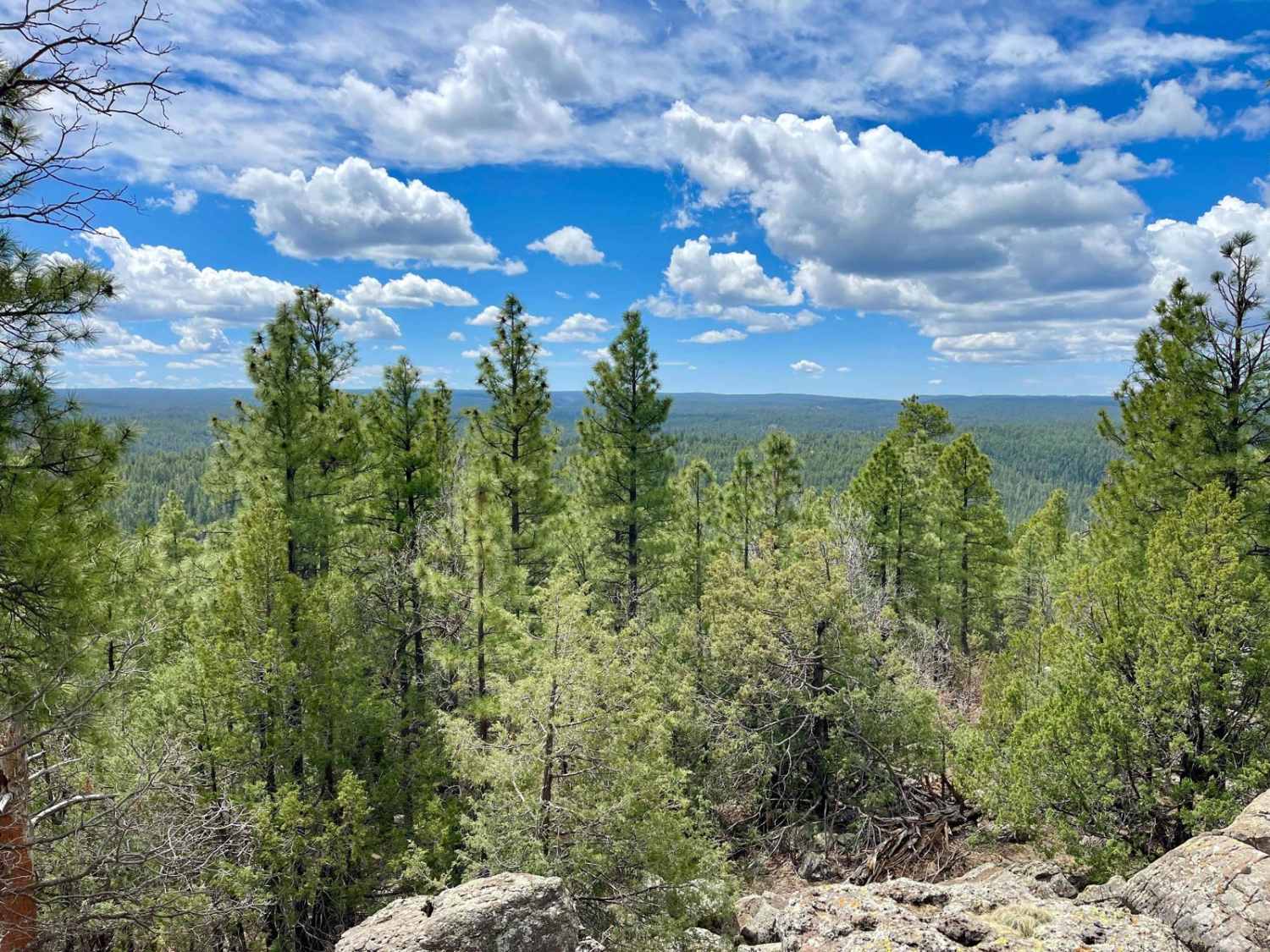
FR138 Along the Ridge
Total Miles
2.0
Tech Rating
Easy
Best Time
Spring, Summer, Fall
Learn more about FR215 Three Canyon
FR215 Three Canyon
Total Miles
1.0
Tech Rating
Easy
Best Time
Spring, Winter, Fall
Learn more about FR228 Water Tank Road North
FR228 Water Tank Road North
Total Miles
5.0
Tech Rating
Easy
Best Time
Winter, Fall, Spring
Learn more about FR229 Bueno Tank Road
FR229 Bueno Tank Road
Total Miles
4.8
Tech Rating
Easy
Best Time
Spring, Fall, Winter
Learn more about FR245 Honey Trap Loop
FR245 Honey Trap Loop
Total Miles
4.8
Tech Rating
Easy
Best Time
Spring, Winter, Fall
ATV trails in Arizona
Learn more about Scrub Oak Bypass 
Scrub Oak Bypass
Total Miles
0.5
Tech Rating
Easy
Best Time
Spring, Summer, Fall


UTV/side-by-side trails in Arizona
Learn more about Scrub Oak Bypass
Scrub Oak Bypass
Total Miles
0.5
Tech Rating
Easy
Best Time
Spring, Summer, Fall
The onX Offroad Difference
onX Offroad combines trail photos, descriptions, difficulty ratings, width restrictions, seasonality, and more in a user-friendly interface. Available on all devices, with offline access and full compatibility with CarPlay and Android Auto. Discover what you’re missing today!