FR228 Water Tank Road North
Total Miles
5.0
Technical Rating
Best Time
Winter, Fall, Spring
Trail Type
Full-Width Road
Accessible By
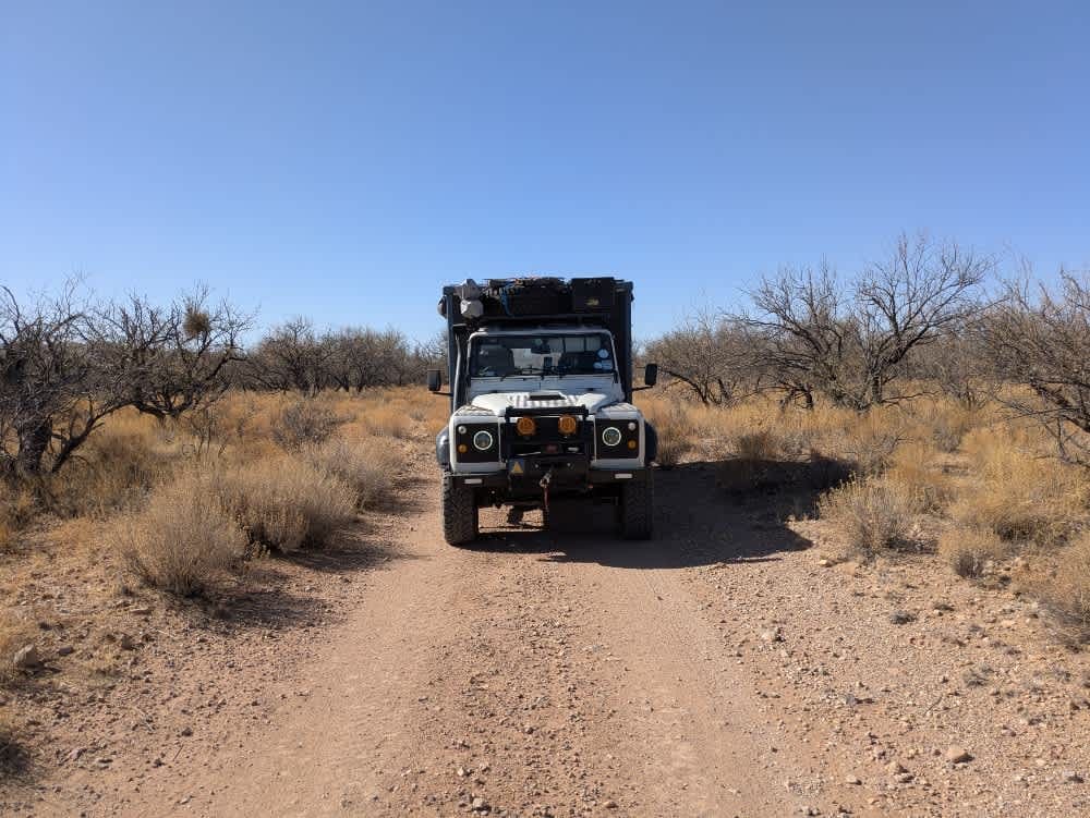
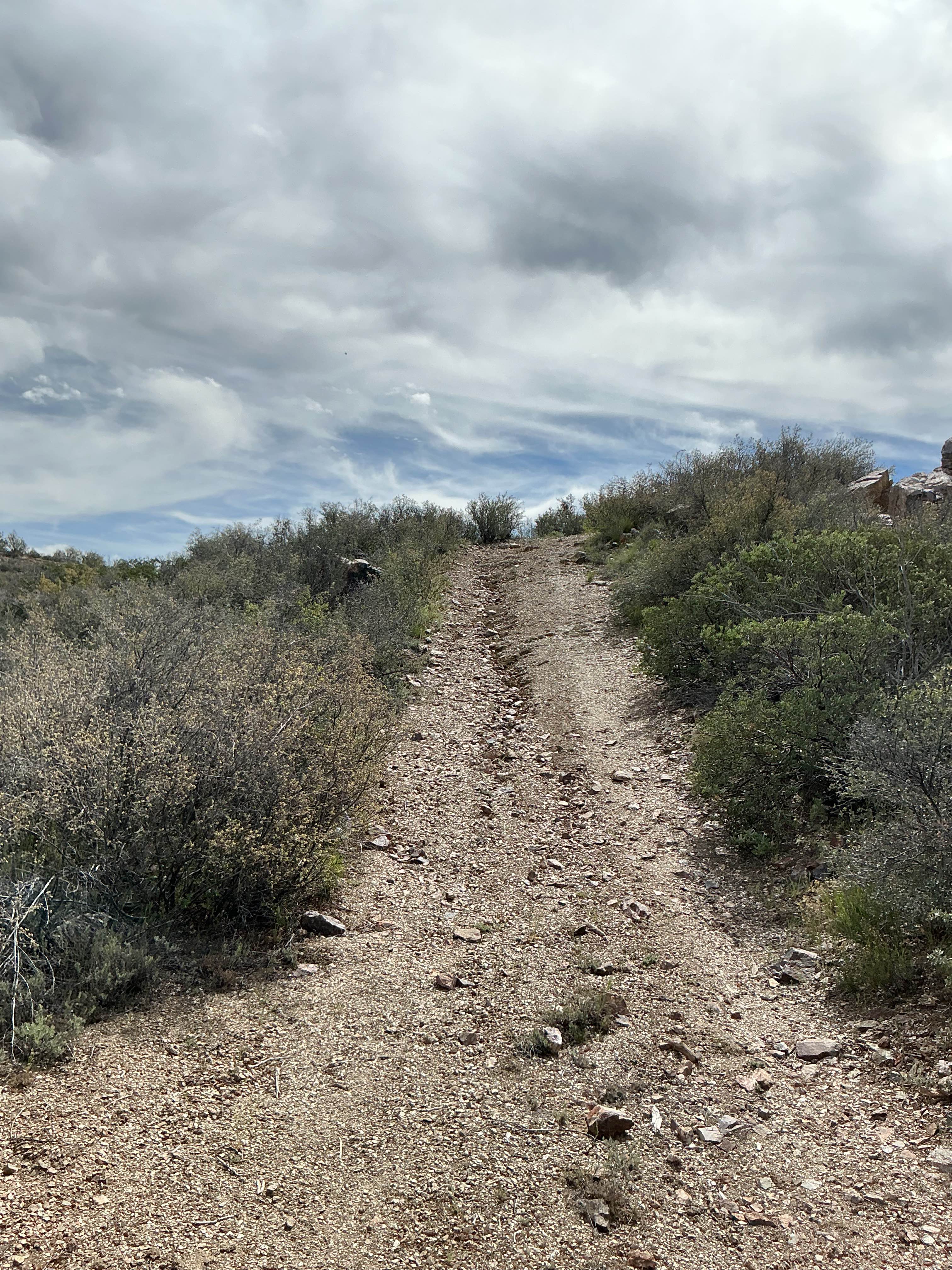
Trail Overview
The trail features several washes that could pose a challenge during the rainy season, but under normal conditions, the road is well-maintained and generally easy to navigate. Alternative routes are available to bypass the washes if necessary. Along the way, there are multiple well-kept side trails and spurs to explore. At the second split, F220 offers three designated camping spots and continues onto BLM land, eventually leading to the town of Arivaca. Beyond the F283 split, the terrain becomes more demanding, with off-camber sections requiring careful maneuvering. Taller vehicles should be prepared for extensive pinstriping further along the trail due to dense vegetation encroaching on the path. The trail lacks amenities such as trash disposal, water supply, and limited cell service.
Photos of FR228 Water Tank Road North

Difficulty
Easy track to drive with single tracks, there are no difficult obstacles.
History
The Buenos Aires National Wildlife Refuge, established in 1985, encompasses over 117,000 acres in the Altar Valley of southern Arizona. This refuge was created to protect and restore the semi-desert grassland ecosystem, providing habitat for a variety of threatened and endangered species, including the masked bobwhite quail and pronghorn.
Status Reports
FR228 Water Tank Road North can be accessed by the following ride types:
- High-Clearance 4x4
- SUV
- SxS (60")
- ATV (50")
- Dirt Bike
FR228 Water Tank Road North Map
Popular Trails
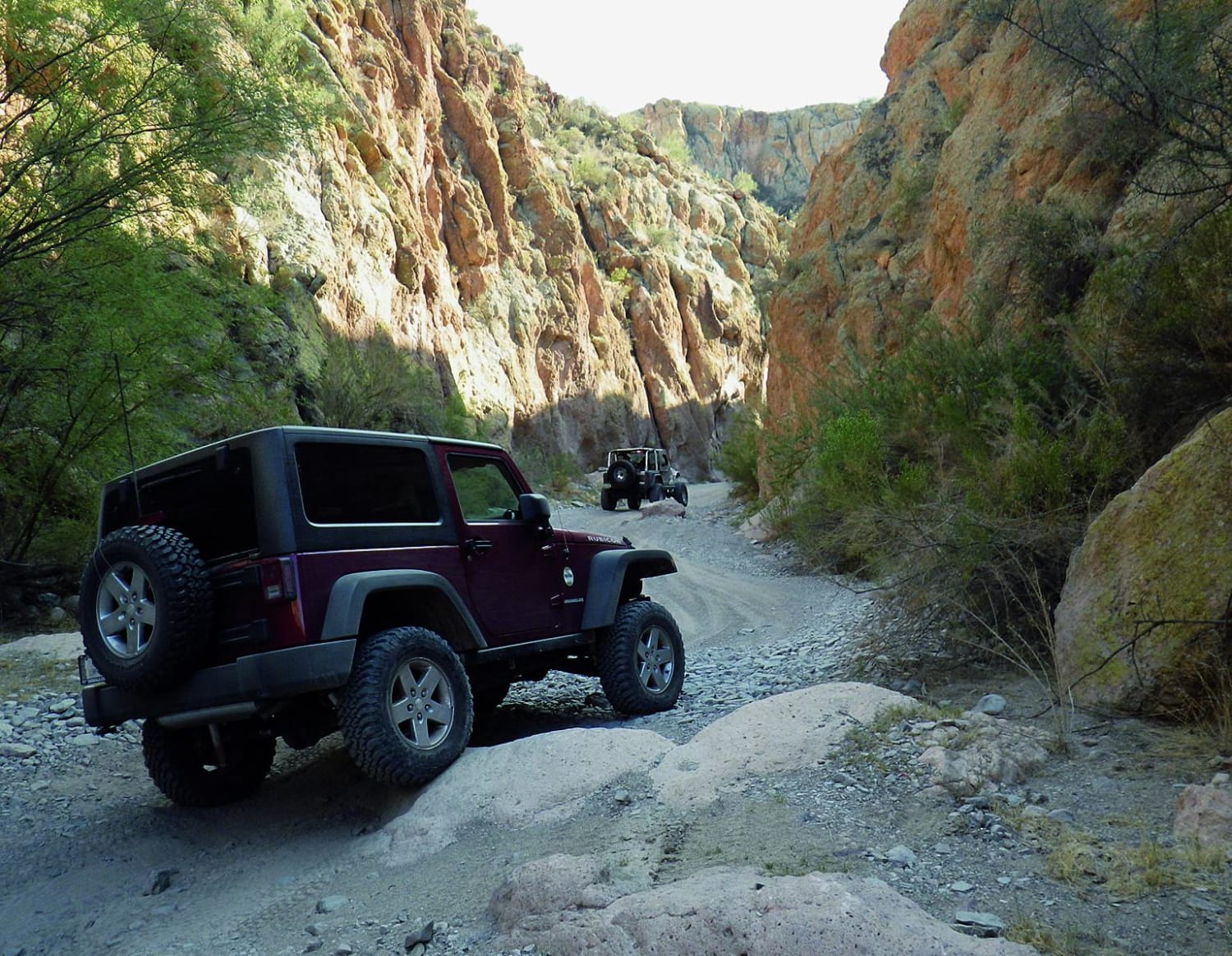

Gunsight Canyon Overlook -BLM179-180
The onX Offroad Difference
onX Offroad combines trail photos, descriptions, difficulty ratings, width restrictions, seasonality, and more in a user-friendly interface. Available on all devices, with offline access and full compatibility with CarPlay and Android Auto. Discover what you’re missing today!