FR245 Honey Trap Loop
Total Miles
4.8
Technical Rating
Best Time
Spring, Winter, Fall
Trail Type
Full-Width Road
Accessible By
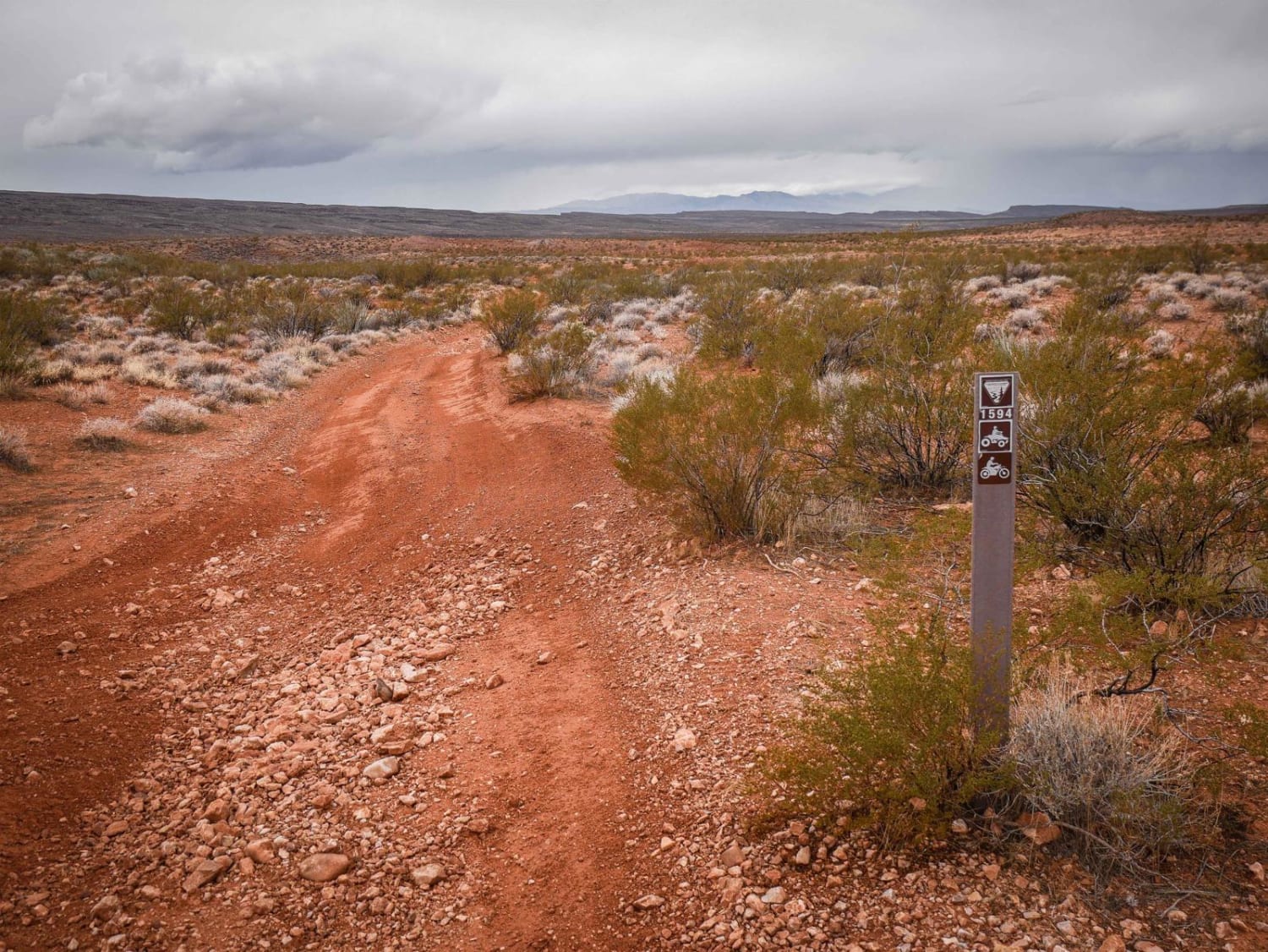
Trail Overview
The Honey Trap Loop Road offers a rugged off-road experience with challenging terrain and smoother sections. The trail consists of rocky inclines with loose rock and off-camber driving, requiring careful navigation. Due to the rough conditions, drivers should expect the possibility of pinstriping and tire damage, particularly on the sharp, rocky inclines and off-camber sections. Camping is not permitted along this loop, so visitors should plan accordingly. As the trail descends into the valley, the terrain transitions into a smoother, more manageable drive surrounded by expansive grasslands. In this lower section, the road becomes sandy, and dense vegetation increases the likelihood of pinstriping. Despite the challenges, the route provides an immersive experience through the refuge's diverse landscapes.
Photos of FR245 Honey Trap Loop


Difficulty
Trail is rocky and sandy but easily to traverse
History
The Buenos Aires National Wildlife Refuge, established in 1985, encompasses over 117,000 acres in the Altar Valley of southern Arizona. This refuge was created to protect and restore the semi-desert grassland ecosystem, providing habitat for a variety of threatened and endangered species, including the masked bobwhite quail and pronghorn.
Status Reports
FR245 Honey Trap Loop can be accessed by the following ride types:
- High-Clearance 4x4
- SUV
- SxS (60")
- ATV (50")
- Dirt Bike
FR245 Honey Trap Loop Map
Popular Trails
Indian Pass Overlook
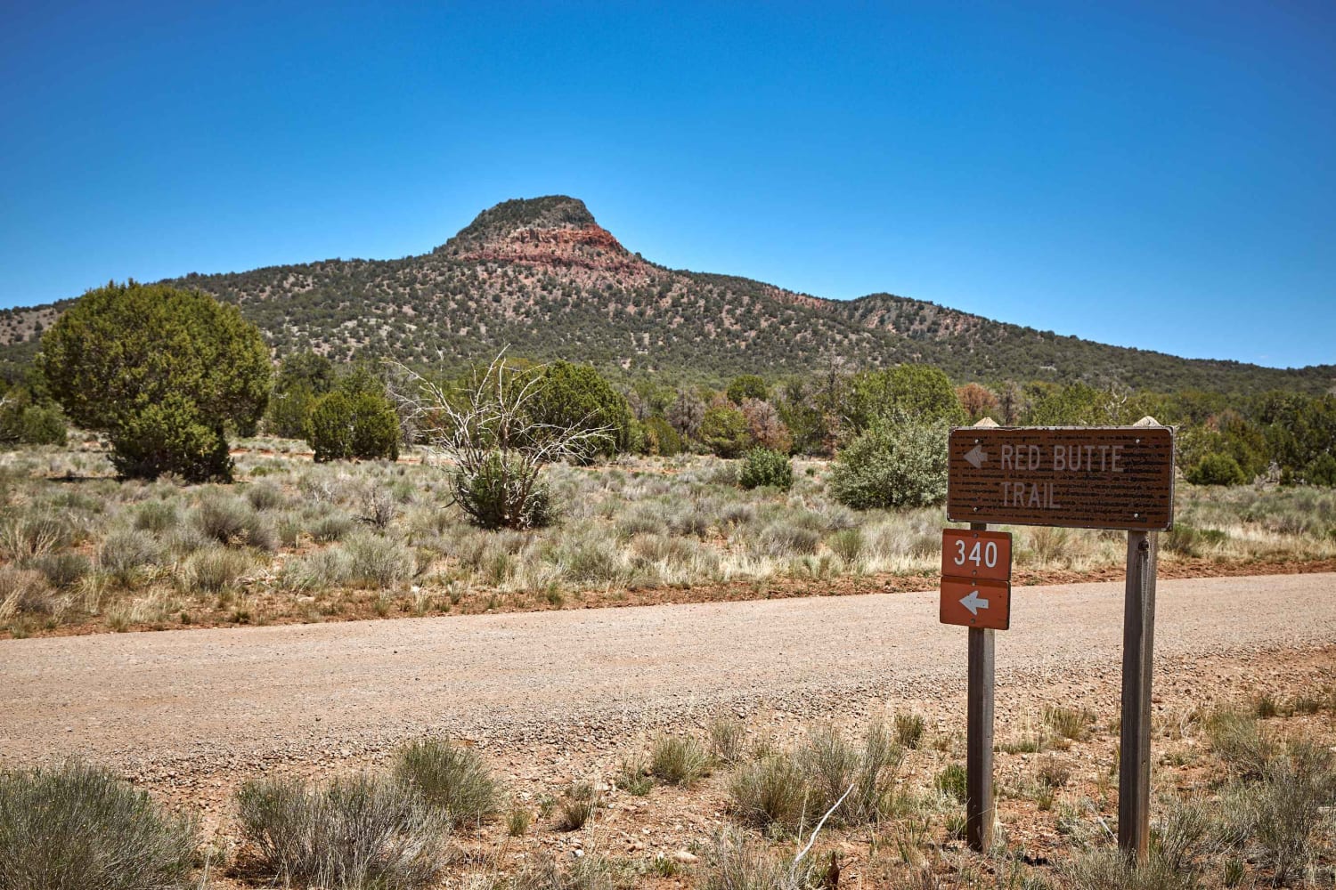
Red Butte Road

South Big Bug Mesa Outlook
The onX Offroad Difference
onX Offroad combines trail photos, descriptions, difficulty ratings, width restrictions, seasonality, and more in a user-friendly interface. Available on all devices, with offline access and full compatibility with CarPlay and Android Auto. Discover what you’re missing today!