Gila River Loop
Total Miles
20.4
Technical Rating
Best Time
Spring, Fall
Trail Type
Full-Width Road
Accessible By
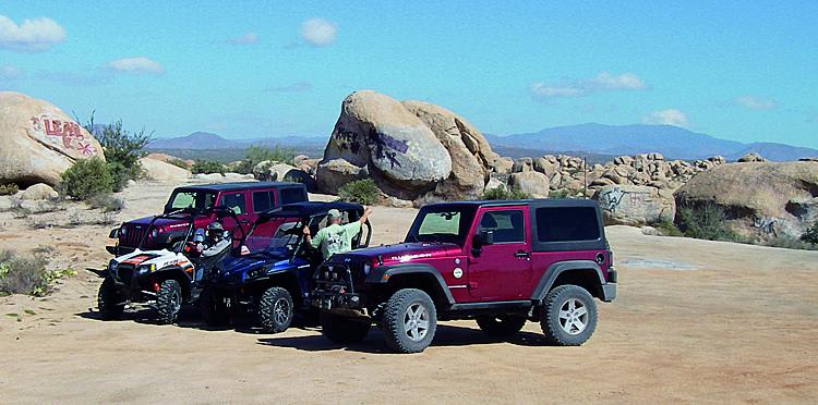
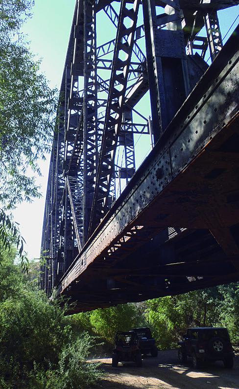
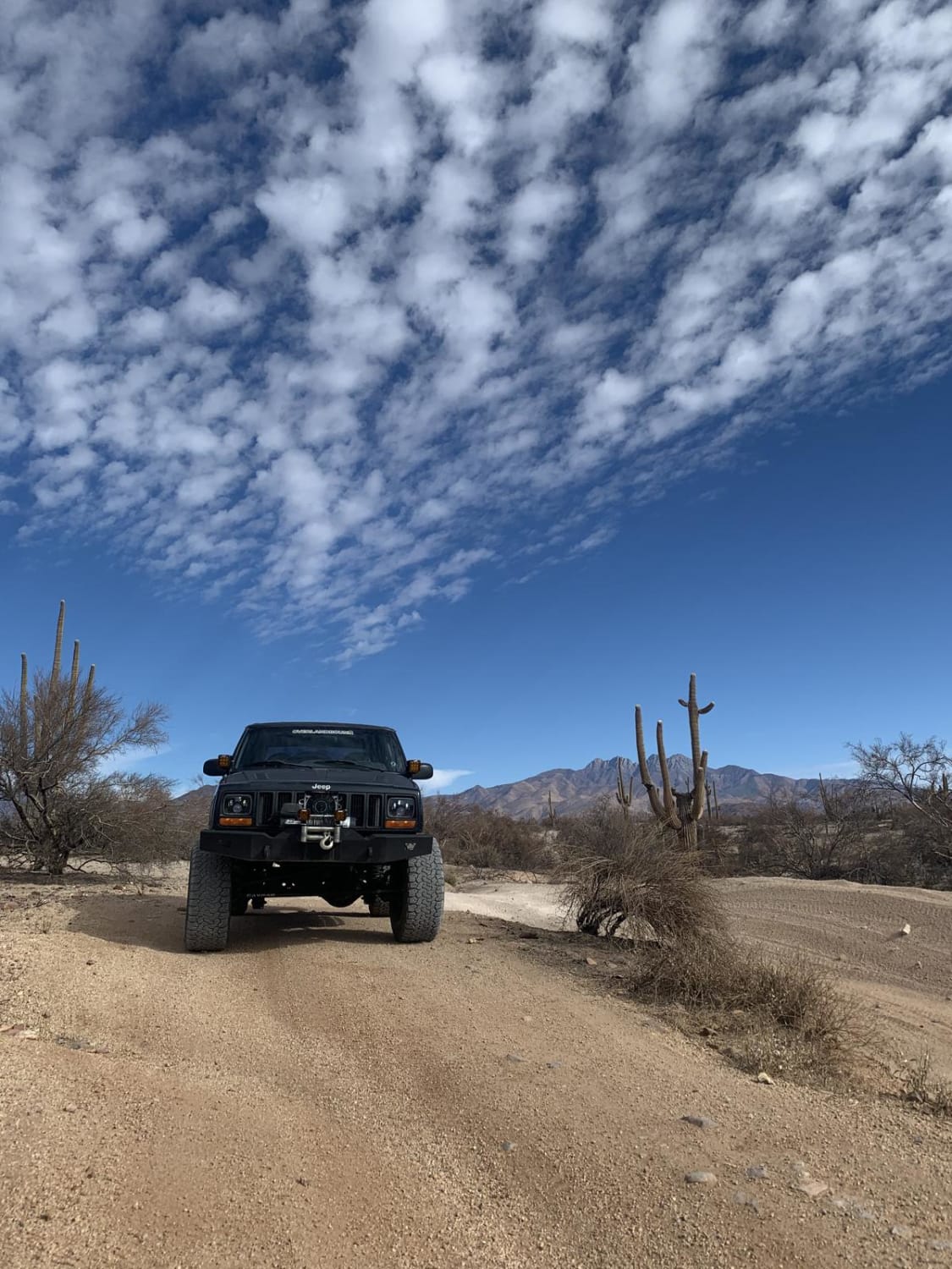
Trail Overview
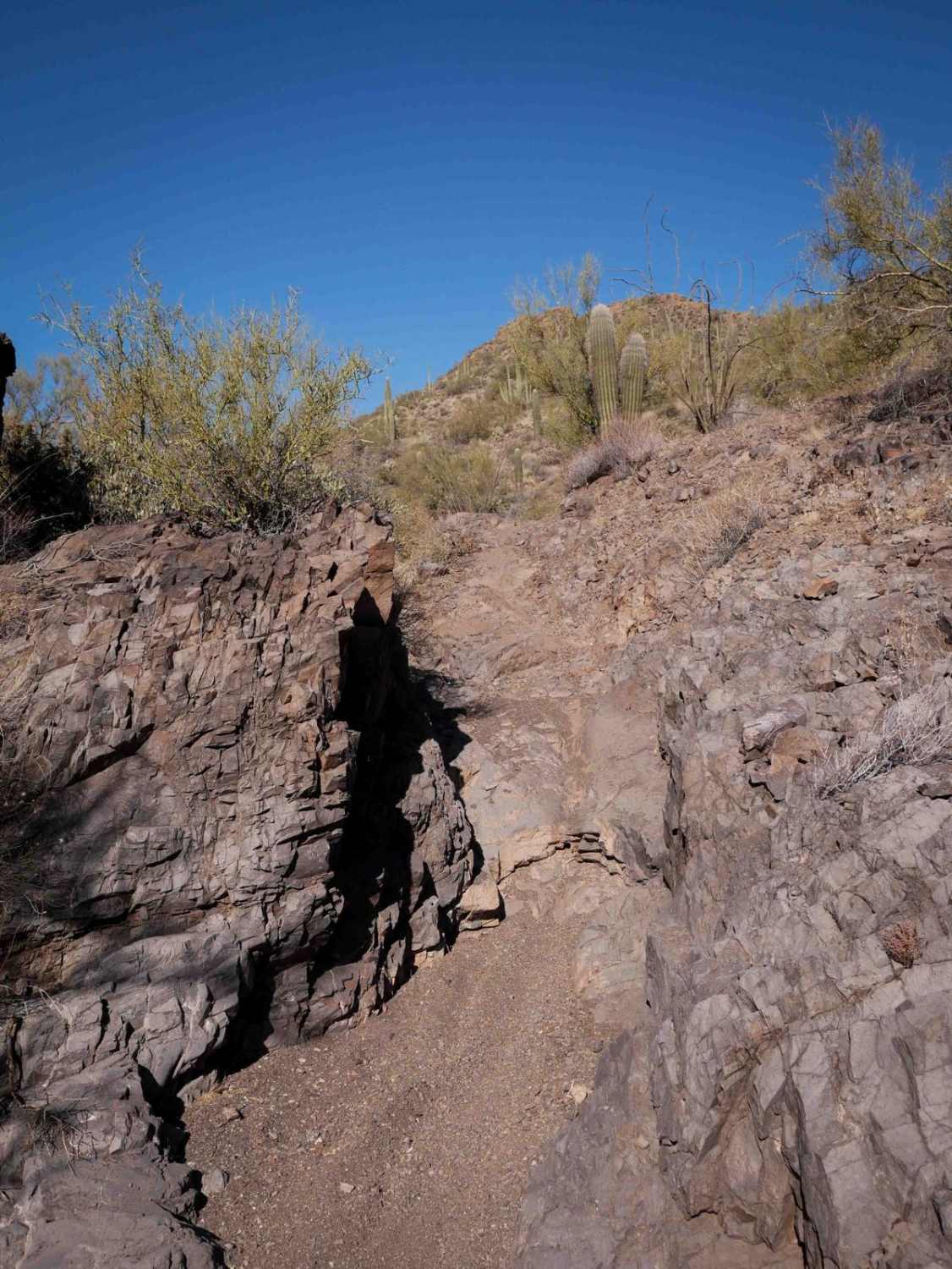
You'll like this fun little loop that's especially nice when the river is flowing. The bulk of the trail is comprised of sandy washes, but there's a portion that's rocky and challenging along the river around South Butte. Cool things to see include an old stone cabin in ruins and a railroad trestle. If you're camping, there is a boulder-encircled site, as well as a large staging area at the trailhead. You'll need a State Trust Land permit for this one.
Photos of Gila River Loop
Difficulty
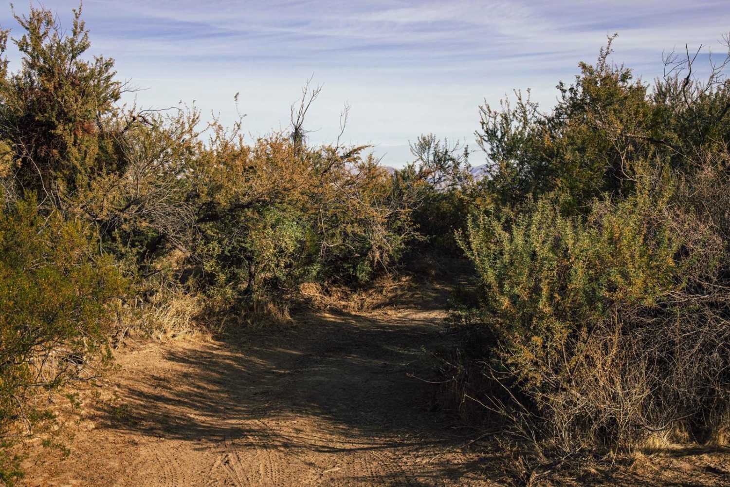
Moderate: The washes are easy, but the stretch between Waypoints 04 and 07 is narrow in spots with very tight brush. One rocky descent has a big ledge to drop down, but a high clearance SUV with experienced driver should be able to handle it.
Status Reports
Gila River Loop can be accessed by the following ride types:
- High-Clearance 4x4
- SUV
- SxS (60")
- ATV (50")
- Dirt Bike
Gila River Loop Map
Popular Trails

Coyote Wash West
The onX Offroad Difference
onX Offroad combines trail photos, descriptions, difficulty ratings, width restrictions, seasonality, and more in a user-friendly interface. Available on all devices, with offline access and full compatibility with CarPlay and Android Auto. Discover what you’re missing today!