Big Dip Road-BLM1078
Total Miles
4.7
Technical Rating
Best Time
Spring, Summer, Fall
Trail Type
50" Trail
Accessible By
Trail Overview
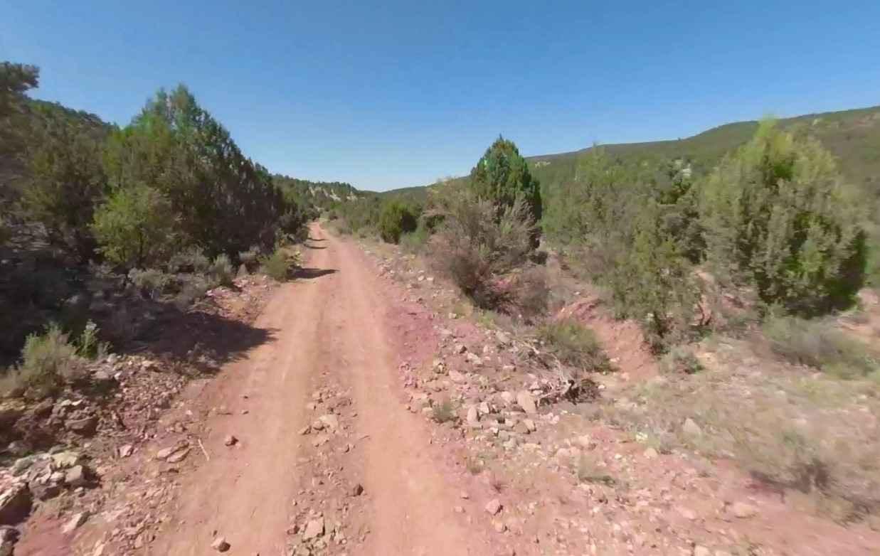
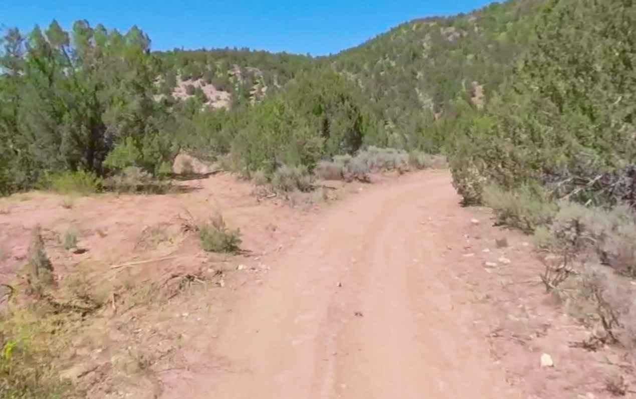
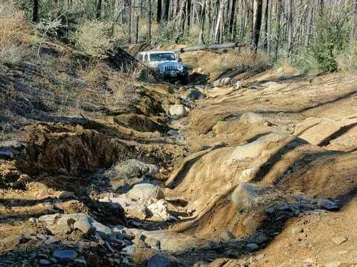
Big Dip Road-BLM1078 is a 4.8-mile straight-through single-track trail rated 4 of 10. Big Dip Road runs through Tombstone Canyon with Black Rock and Low Mountains to the west and Wolf Hole Mountain to the east. The trail follows along the banks of Big Dip Creek with several crossing points. The southern end of Big Dip Road intersects with Black Rock Road-BLM1004. The north end of Big Dip Road intersects with Black Rock Gulch-BLM1009. This trail is used as a more scenic connector trail between the two intersecting trails. There is a little used ATV/UTV trail that connects Black Rock Gulch and the midpoint of Big Dip Road. This trail is tight and should be limited to 50" or less. There is no water, gas, food, lodging, Wi-Fi, or cell service. Visitors should be advised that towing charges in the event of vehicles becoming stuck or damaged are in the region of $1000 or more.
Photos of Big Dip Road-BLM1078
Difficulty
Trail consisting of loose rock, dirt, and sand with some slickrock surfaces. Some erosion; washes, gulches, and rock steps no higher than 18". Tall tires (33" plus) and limited slip are a plus. 4WD is required. Enhanced suspension travel and good ground clearance are helpful. Good driving skills are a plus.
Status Reports
Big Dip Road-BLM1078 can be accessed by the following ride types:
- ATV (50")
- Dirt Bike
Big Dip Road-BLM1078 Map
Popular Trails
FS 9011K Cutoff
Anniversary
The onX Offroad Difference
onX Offroad combines trail photos, descriptions, difficulty ratings, width restrictions, seasonality, and more in a user-friendly interface. Available on all devices, with offline access and full compatibility with CarPlay and Android Auto. Discover what you’re missing today!