Rancho Pintado Road
Total Kilometers
11.9
Technical Rating
Best Time
Spring, Summer, Fall, Winter
Trail Type
Full-Width Road
Accessible By
Trail Overview
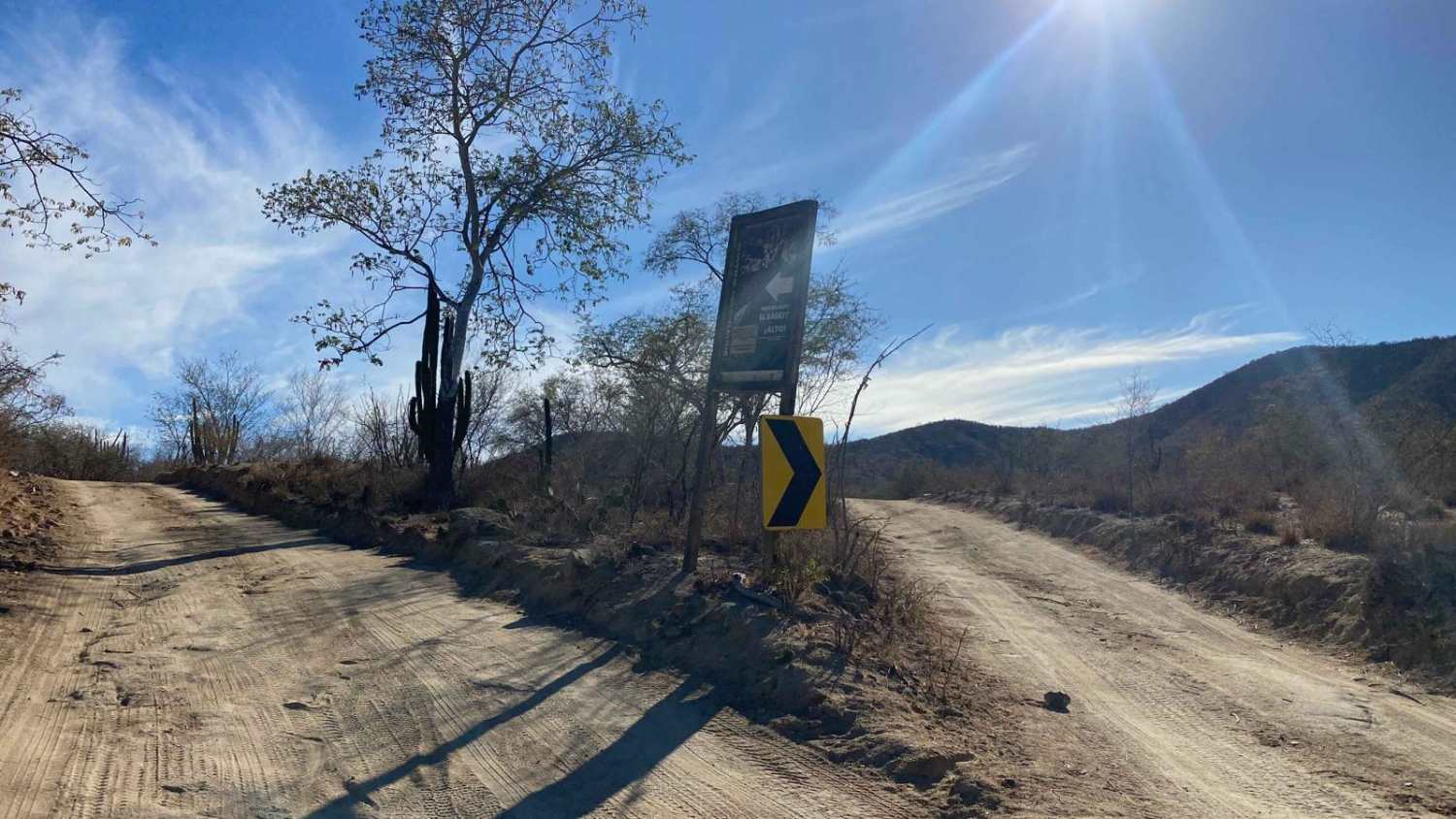
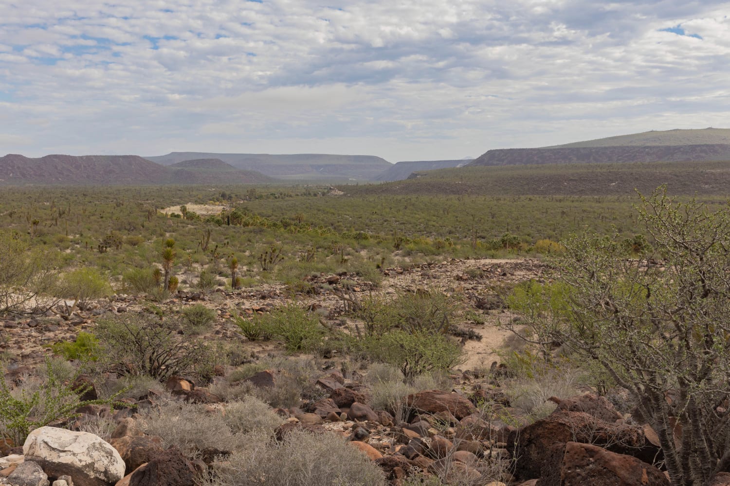
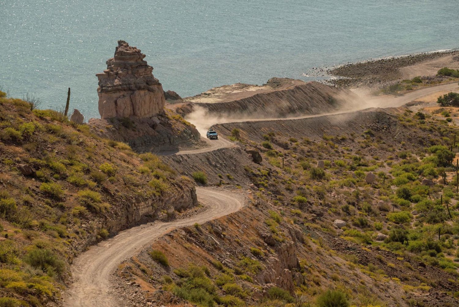
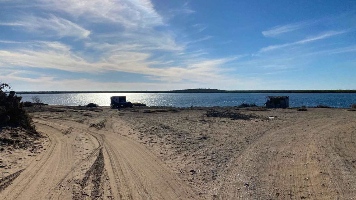
This off-road trail begins at the turnoff to Rancho Aldemado, leading you through a stunning desert landscape marked by gentle ascents and descents. Shortly after starting, you'll navigate a 50-meter stretch of thick concrete and encounter an unlocked gate--be sure to close it behind you. The journey continues along a well-traveled, relatively smooth road free of significant washboarding. Another unlocked gate follows, leading to signs for the Sierra La Laguna Biosphere Reserve. The road forks right here, maintaining a well-graded surface as it winds through an arroyo with some sand. Passing under a massive tree, you'll arrive at Rancho Pintado; take a sharp left uphill, opening and closing yet another gate before continuing into the mountains. The final section features a few steep, rocky, and slightly off-camber climbs, where you may need to engage 4WD. Shortly after these minor challenges, the trail connects to another route, guiding you toward a reservoir and eventually the town of Todos Santos.
Photos of Rancho Pintado Road

Difficulty
This trail is relatively easy, with most of it navigable in 2WD. However, a steep section near the end requires 4WD, elevating its difficulty to a Level 2 rating.
Status Reports
Rancho Pintado Road can be accessed by the following ride types:
- High-Clearance 4x4
- SUV
- SxS (60")
- ATV (50")
- Dirt Bike
Rancho Pintado Road Map
Popular Trails
Desert Jungle to San Ignacio

Lowlands Route
San Juan de la Costa - San Evaristo
Estuary Road
The onX Offroad Difference
onX Offroad combines trail photos, descriptions, difficulty ratings, width restrictions, seasonality, and more in a user-friendly interface. Available on all devices, with offline access and full compatibility with CarPlay and Android Auto. Discover what you’re missing today!