Switzerland Trail
Total Miles
14.0
Technical Rating
Best Time
Fall, Summer, Spring, Winter
Trail Type
Full-Width Road
Accessible By
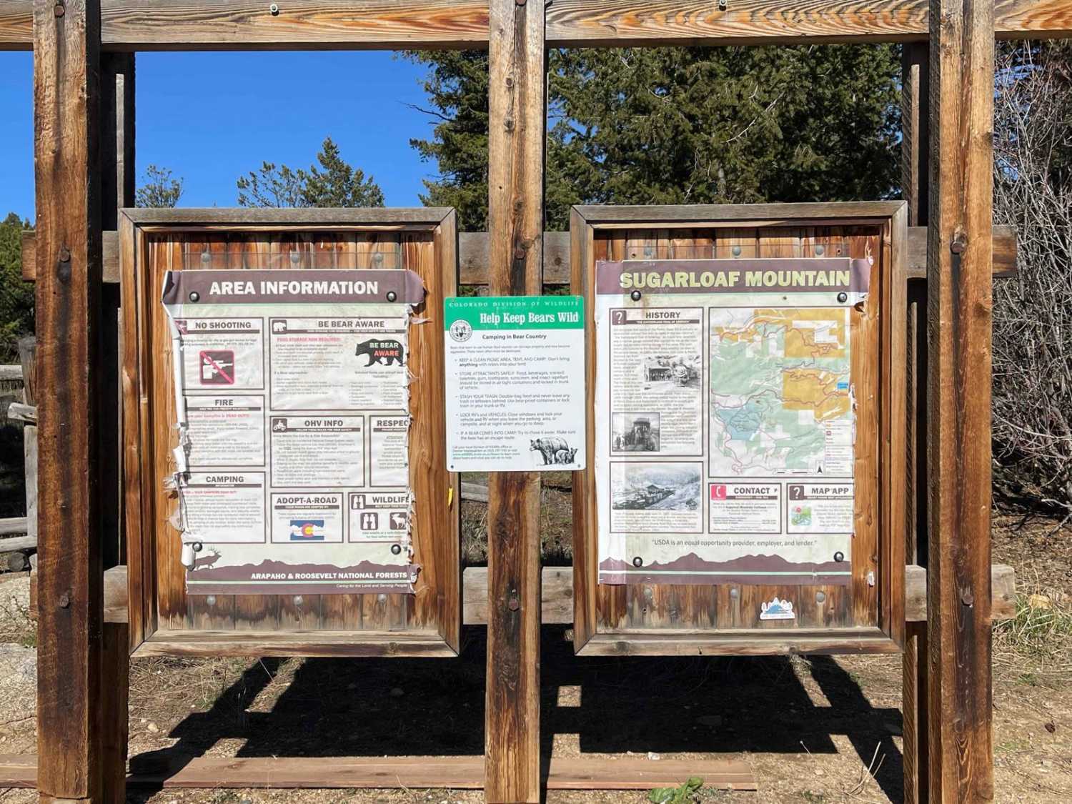
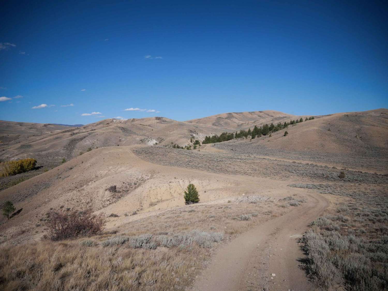
Trail Overview
During the warmer seasons, this trail is ideal for beginners and stock sport utility vehicles, thanks to its gentle grades and stunning scenery. In winter, it becomes popular for snow-wheeling enthusiasts seeking adventure, though caution is advised. The trail is easy, with mildly rocky roads, and its single-lane width in places requires care around blind curves. Suitable for almost any high-clearance 4WD, the trail offers fantastic views, especially in the fall. For a longer adventure, continue north; the trail is open year-round.
Photos of Switzerland Trail

Difficulty
The trail is easy, with mildly rocky roads, and its single-lane width in places requires care around blind curves. While the trail is open all year long, difficulty changes significantly with winter weather, requiring a high-clearance vehicle with good traction to navigate the slick and icy terrain.
History
The Switzerland Trail in Colorado's Front Range follows the path of a historic narrow gauge railroad from the late 19th and early 20th centuries. Initially built in 1883 and expanded until a flood in 1894, the line was revived and gained popularity as a tourist attraction named the "Switzerland Trail." Despite its decline due to harsh winters, the rise of automobiles, and mine closures, the route--spanning about 30 miles and reaching elevations over 9,000 feet--was crucial for transporting ore and tourists through key mining towns like Nederland and Ward. Today, it serves as a popular hiking, biking, and 4x4 trail known for its scenic views and gentle grades.
Status Reports
Switzerland Trail can be accessed by the following ride types:
- High-Clearance 4x4
- SUV
- SxS (60")
- ATV (50")
- Dirt Bike
Switzerland Trail Map
Popular Trails

Lonestar ATV Loop


The onX Offroad Difference
onX Offroad combines trail photos, descriptions, difficulty ratings, width restrictions, seasonality, and more in a user-friendly interface. Available on all devices, with offline access and full compatibility with CarPlay and Android Auto. Discover what you’re missing today!