Ethan Chambers
Nov 15, 2025
1995 Jeep Cherokee
Obstructed
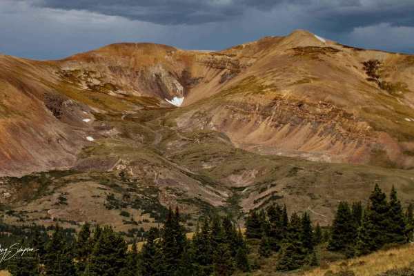
The last stretch of the trail is covered in ice sheets with little to no clearance on the right shoulder while heading up. I would advise against attempting the final stretch up to the lake without studded wheels/chains and even then it's not worth the risk. The rest of the trail has water runout and some icy/snow patches but is 95% passable. Some hikers, not many 4x4s.
Michael Randol
Nov 08, 2025
Open
Snow/IceNormalMuddy/Wet
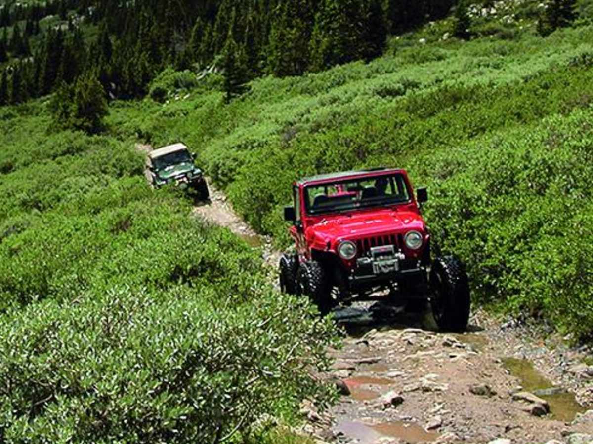
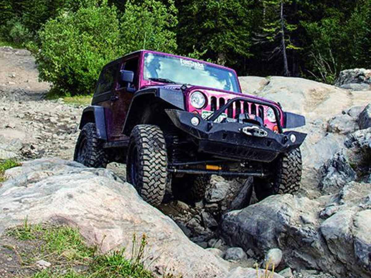
Trail was great until Bowling Ball hill. It was very icy. If you don't have lockers, you're not going to make it up. Stay far driver going up for better traction on the dirt, driver side will be all ice and opposite on the way down. There was one area about half way up the trail that was all ice. One of the Jeeps in our group did not have lockers and had to be pulled through thus short section. This person had to leave they're jeep at the bottom of Bowling ball hill and ride up with someone else.
Mike Shull
Oct 18, 2025
Open
NormalRough/Deteriorated
This is a sweet trail now and I would rank the obstacles at a 9 and the bypasses at 7.
Mark Stanford
Oct 10, 2025
Open
Muddy/Wet
Wet. Reportedly trail was just revamped. Aside from some runoff mitigation, I didn’t see any huge changes.
Miguel Aguilar
Oct 06, 2025
2019 Toyota 4Runner
Open
Will be running it Thursday. But it’s back open after CORE returned to its original difficulty.
Joshua Bartels
Oct 02, 2025
2000 Jeep Wrangler
Temporarily Closed
Trail Restoration
CORE is restoring the trail to is original difficult status.
Jess G.
Aug 07, 2025
1995 Jeep Grand Cherokee
Open
NormalDustyRough/DeterioratedMuddy/Wet
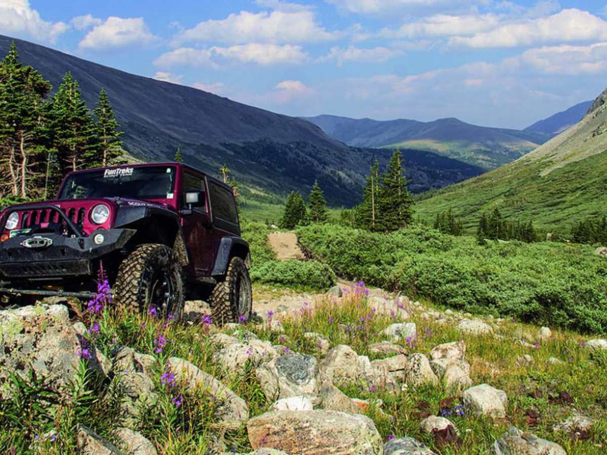
A few obstacles at the beginning of the trail, not too bad though. The last mile is where it is tight and suggested to have cb set on 22, (we ran into people at the halfway point on the trail, and they weren't happy we didn't have cb on) there is no sign until that last mile, because there isn't a lot of room on the hill. You start to head up about .8 mile from the lake, a few rock climb areas, and a decent hill with loose rocks. we had to stack a couple rocks in sections, we're on 32's with 4" lift. But it was a great time, ran into more hikers than rigs.
Paul Field
Jun 28, 2025
Open
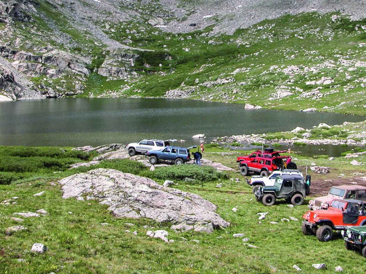
Passed a large group of vehicles coming down the mountain, lots of hikers
josh walsh
Jun 27, 2025
Open
J Smith
Jun 16, 2025
2022 Toyota Tacoma
Obstructed
Beautiful view!! Still snow on the trail. Easy to turn around.
Hunter Eriksen
Jun 14, 2025
Obstructed
Deep Snow
The trail is quite soaked and has multiple large puddles and rock sections with water flowing down them so loose traction to be expected.judt past the halfway point is where snow start to become a problem with several feet tall snowdrifts that WERE passable by SXSs and Jeeps but took careful planning. The large Creek crossing is VERY deep right now with the groups 35s and 37s being submerged in the crossing. Past that were several more snow drifts that were quite large but passable until you get to the switchback towards the top. Here there is 5-6 feet up snow in the trail with water flowing underneath it. It is currently not passable but given a few weeks and some careful winching it will be possible to make it up.
Josh McDermott
Jun 11, 2025
2015 Can-Am Outlander L MAX 500
Obstructed
Deep Snow
Deep snow as you get towards bowling ball hill, clear up to the unnamed cutoff to the north that heads into private land.
Doug Strahm
Sep 12, 2024
2021 Jeep Wrangler
Open
Muddy/Wet
Trail was in expected shape with a bit more water than usual due to consistent afternoon rain showers. We spots near obstacles made them a bit more difficult than in dry conditions. Expect to slide off rocks and ledges and lose traction frequently. JLUR with 3” lift and 35” A/T Nitto tires made the trail without assistance or winching. Fall colors starting to appear.
Ben Gehret
Aug 03, 2024
2023 Ford Bronco
Open
DustyMuddy/WetRough/Deteriorated
Lot’s of people. It took 9 hours today because of a big group with lots of mechanical issues.
Randy Milfs
Jul 06, 2024
Open
Not sure why it was reported closed for trail restoration. Difficult obstacles for side by sides and I'll equipped vehicles