Red Table Road
Total Miles
13.3
Technical Rating
Best Time
Summer, Spring
Trail Type
Full-Width Road
Accessible By
Trail Overview
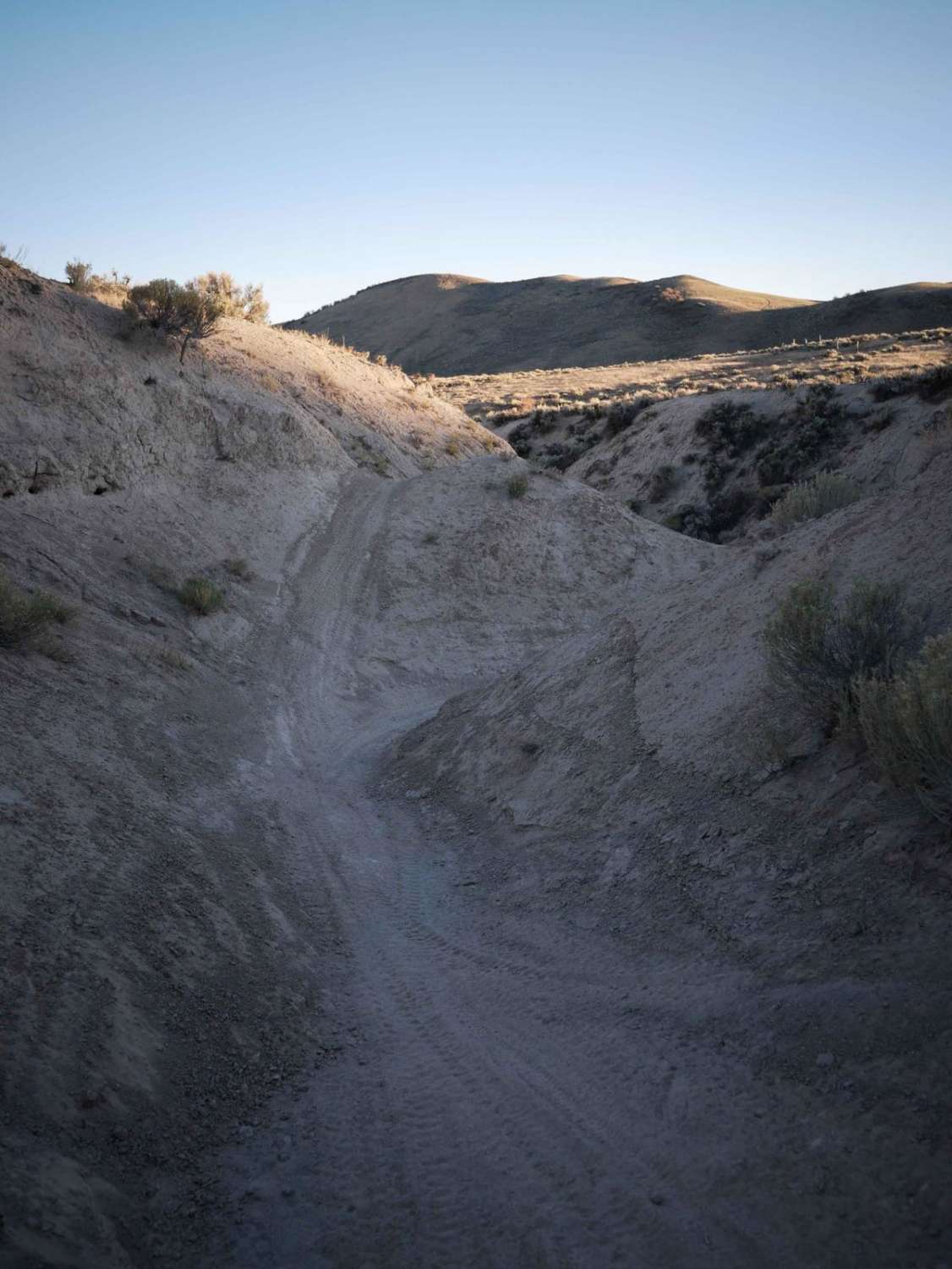
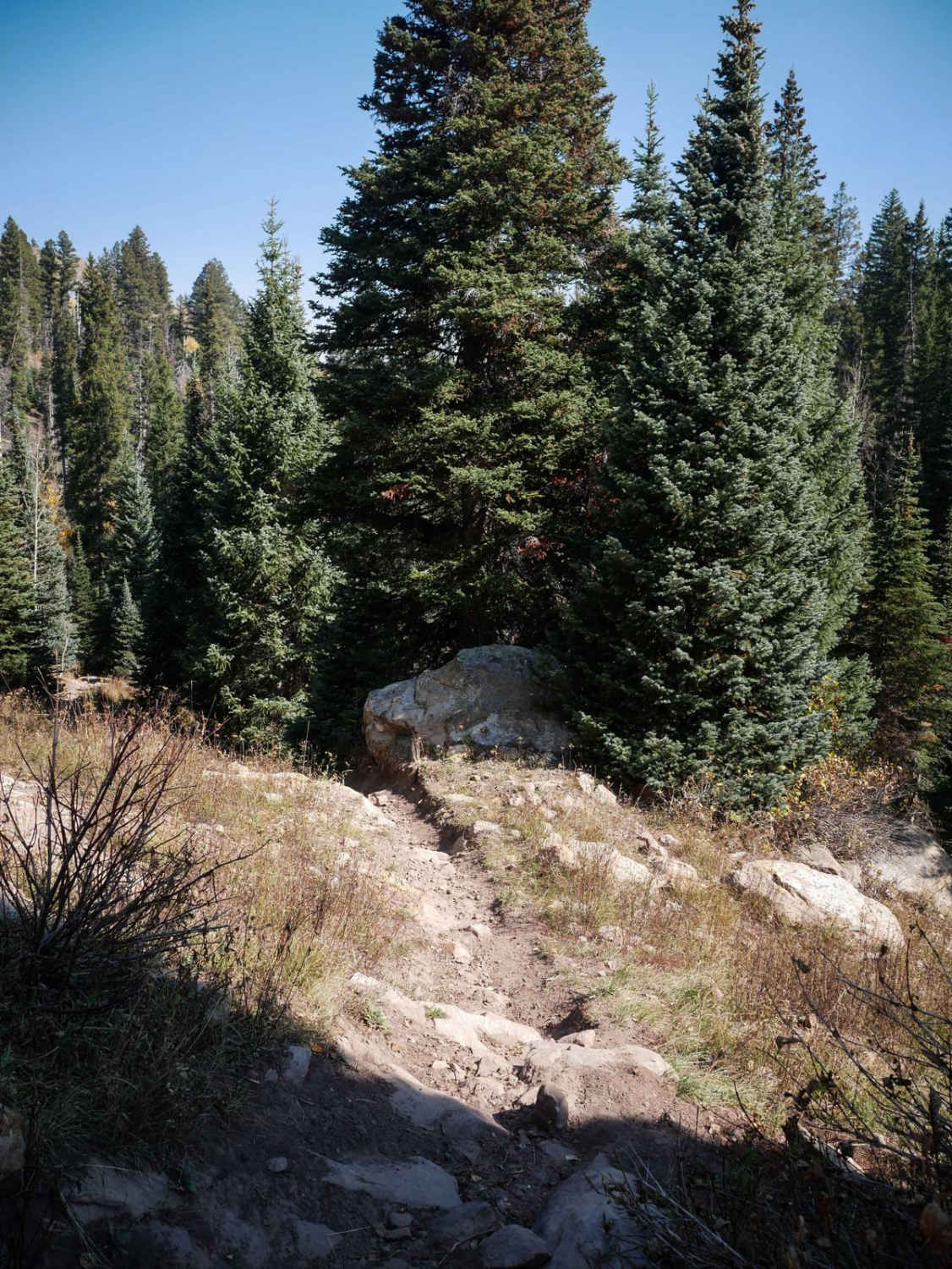
This trail is very rocky and you will find soft red dirt on this trail that will become mud in wet conditions. There are multiple water puddles; some can be deep with no bypass. It is a fun trail with rewarding views at the end. After mile 10, you will find the trail gets a bit more difficult with a lot more rocks. A stock-height vehicle will have no problem. The trail offers multiple camping spots near the beginning, as well as single-track trails for hiking, horseback riding, mountain biking, and dirt biking. The end of the trail will provide a beautiful view of the mountains all around. Spotty cell coverage is available at the top but it is very weak. Radar and monitoring towers are located at the top--both private property and no trespassing.
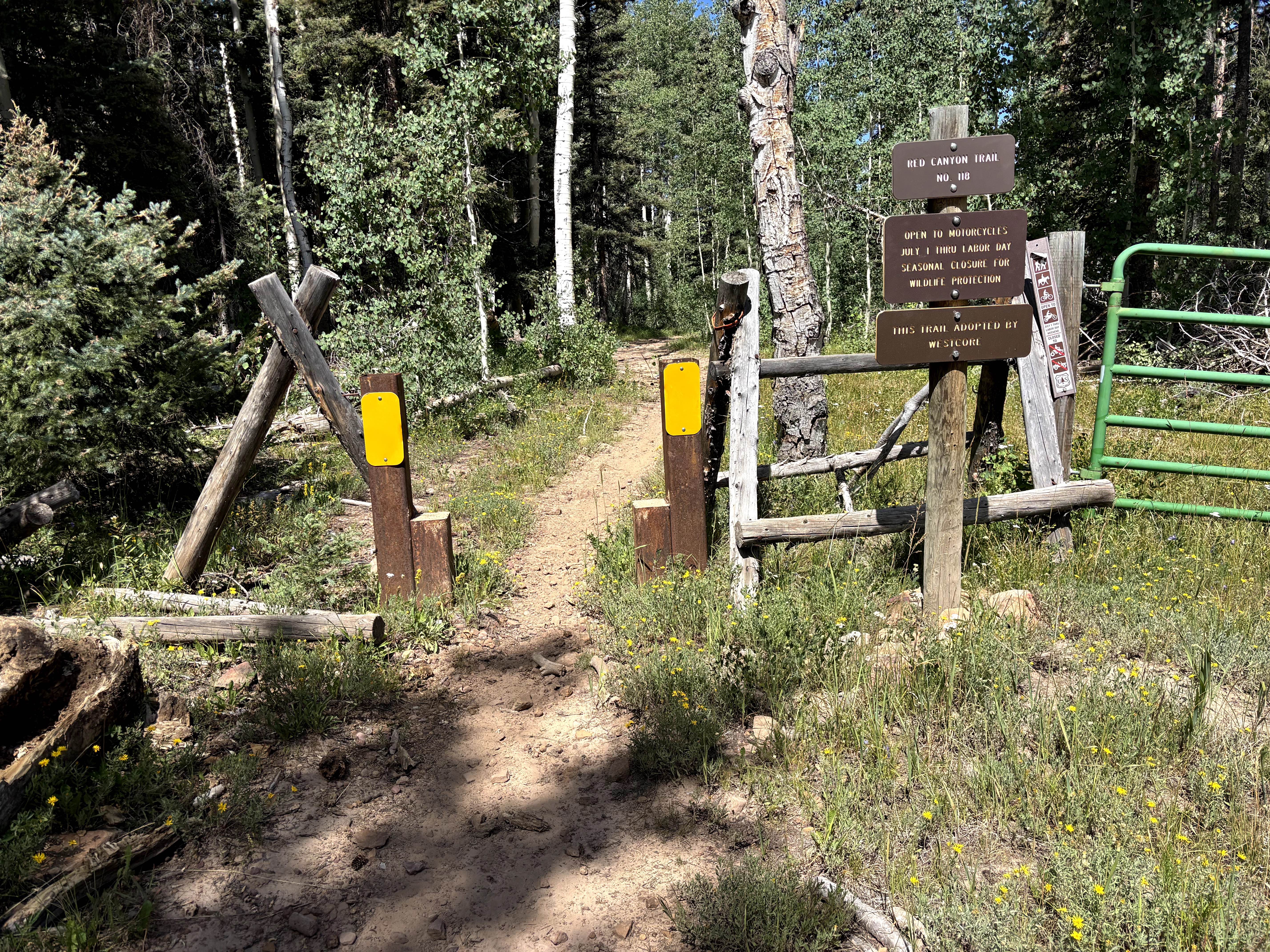
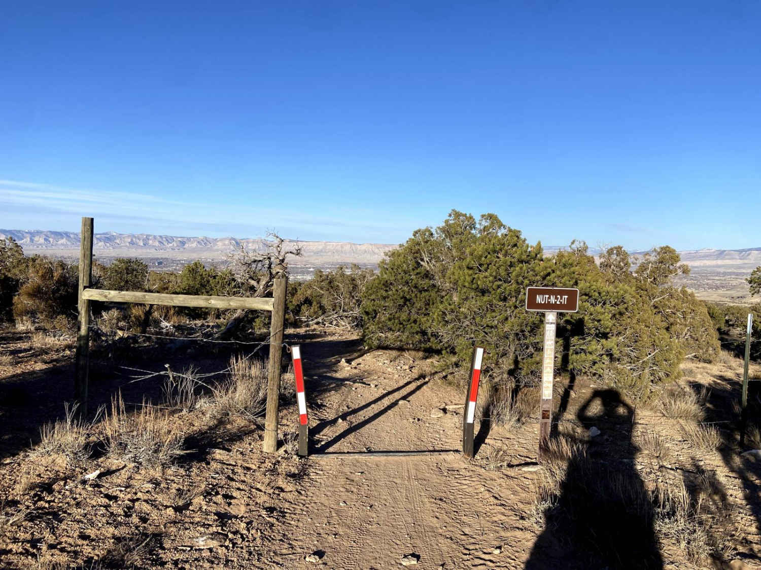
Photos of Red Table Road
Difficulty
This trail is rocky, can be muddy, and has some deep water puddles, loose dirt, and some small obstacles.
Status Reports
Red Table Road can be accessed by the following ride types:
- High-Clearance 4x4
- SUV
- SxS (60")
- ATV (50")
- Dirt Bike
Red Table Road Map
Popular Trails

Red Canyon Trail
The onX Offroad Difference
onX Offroad combines trail photos, descriptions, difficulty ratings, width restrictions, seasonality, and more in a user-friendly interface. Available on all devices, with offline access and full compatibility with CarPlay and Android Auto. Discover what you’re missing today!


