Beaver Creek
Total Miles
3.9
Technical Rating
Best Time
Spring, Summer, Fall
Trail Type
Full-Width Road
Accessible By
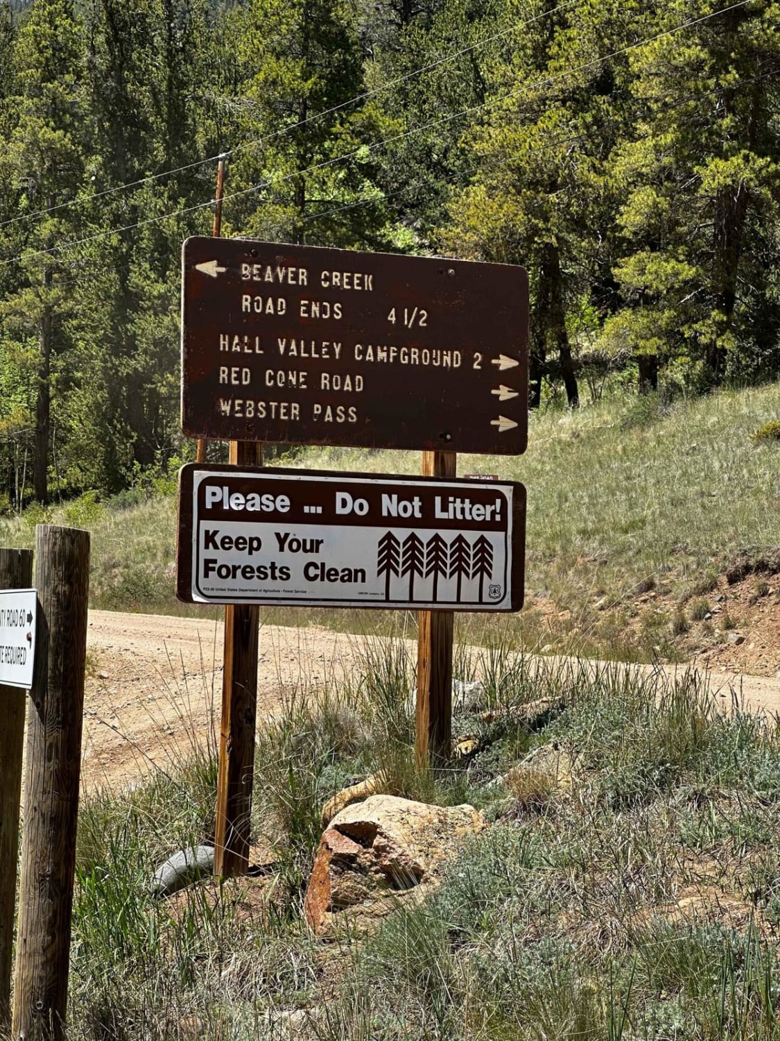
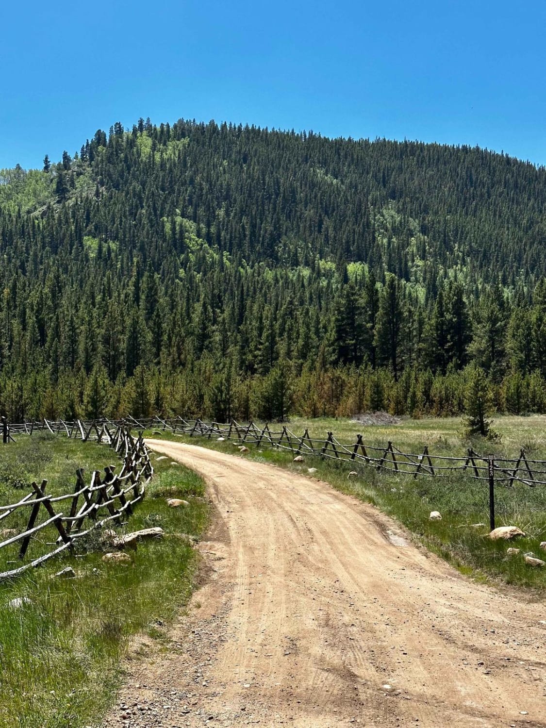
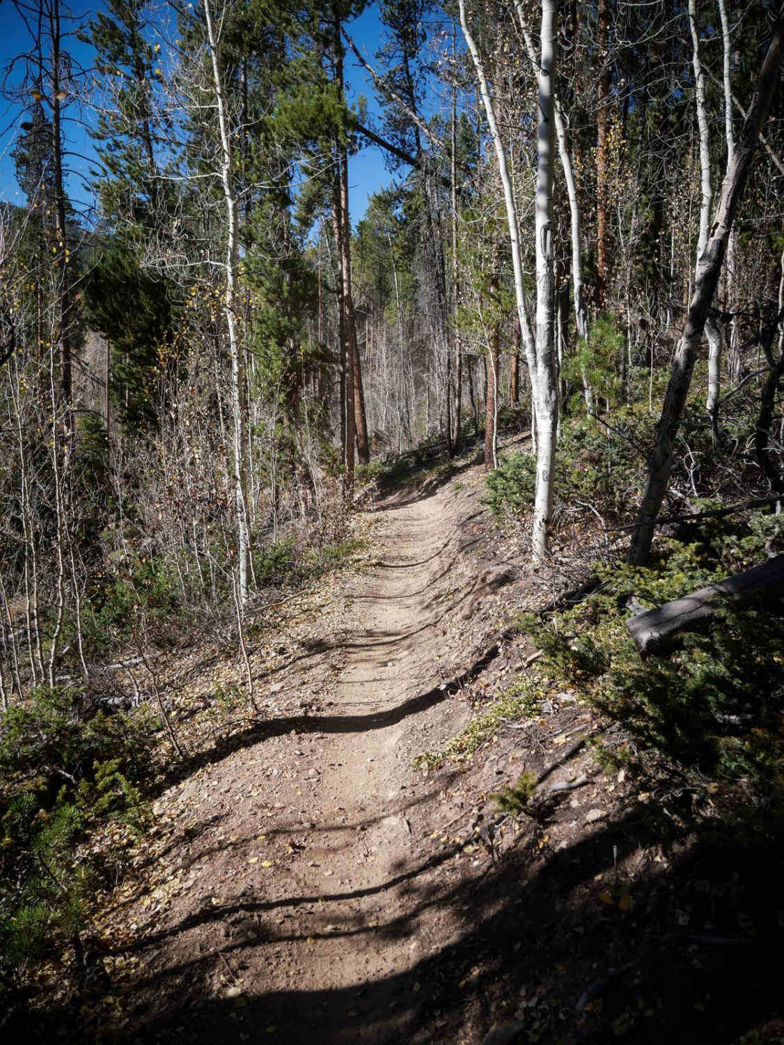
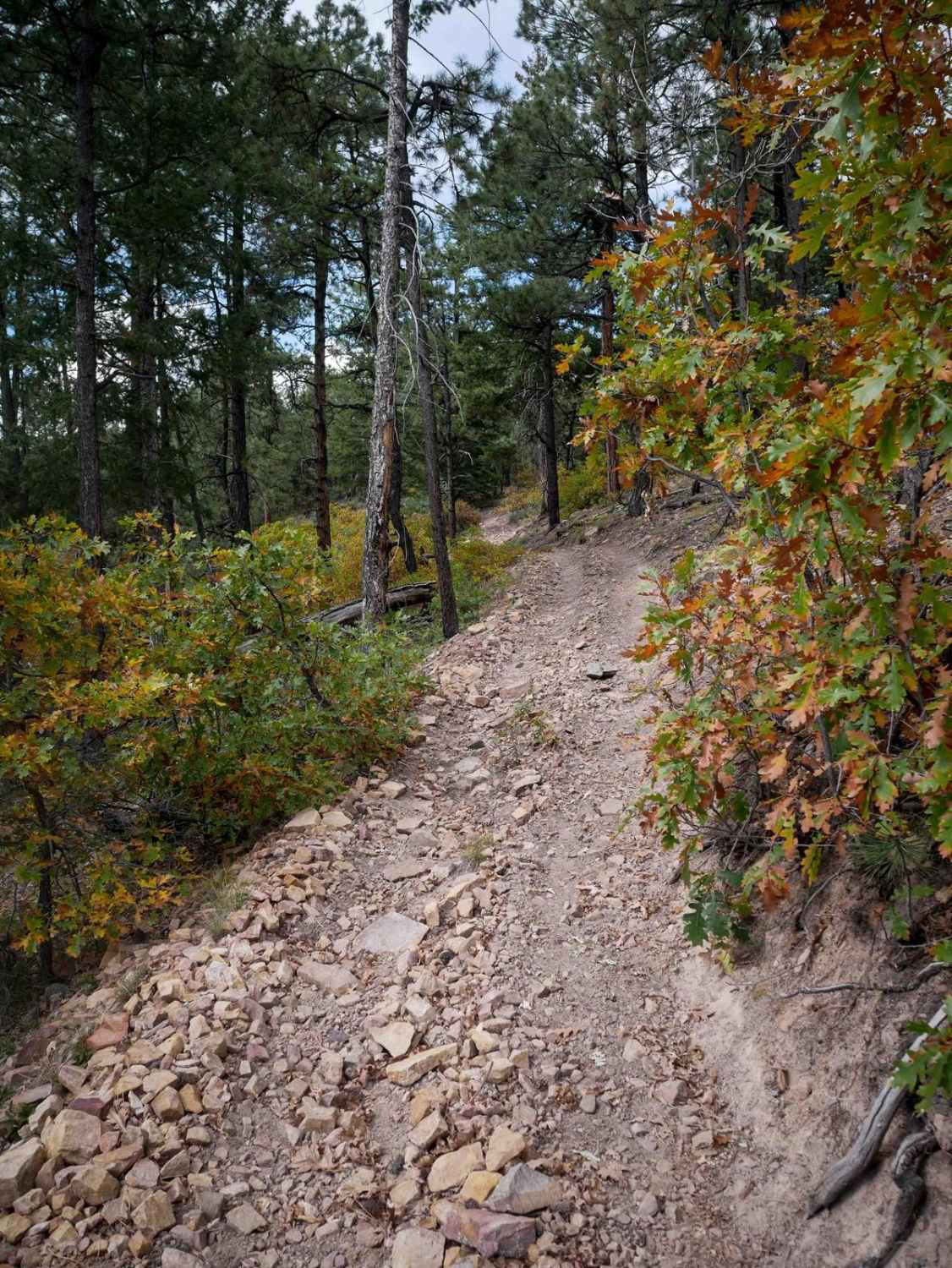
Trail Overview
The trail begins through private property, respect the beaver ponds and stay out at the beginning of the trail. Once out of the private property, the trail begins going uphill into wooded pines. Immediately camping spots are available and accessible for small trailers (until Lininger Cutoff FS 811B). Trail has some rocks around 6' - 8' of travel with some tree roots. Once at the intersection with Lininger Cutoff (FS 811B), the trail develops large ruts on both tire tracks deeper than 6'. This can cause the belly of the vehicle to drag, best advised to have some skid plates covering the oil pan. Larger rocks 8'-12' on the trail in aspen groves. The trail passes the old turn-off to the natural spring, which is now closed off to vehicles, before going up a slight hill to the turn-around spot. This trail is closed seasonally from 1 January - 15 May.
Photos of Beaver Creek
Difficulty
Some rocks are 8' - 12' high. The ruts were deeper than 6' which caused the belly of a stock 4runner to rub.
Status Reports
Beaver Creek can be accessed by the following ride types:
- High-Clearance 4x4
- SUV
- SxS (60")
- ATV (50")
- Dirt Bike
Beaver Creek Map
Popular Trails
Rattlesnake Arches Jeep Trail
McManus Road-Fr Rd 633
The onX Offroad Difference
onX Offroad combines trail photos, descriptions, difficulty ratings, width restrictions, seasonality, and more in a user-friendly interface. Available on all devices, with offline access and full compatibility with CarPlay and Android Auto. Discover what you’re missing today!