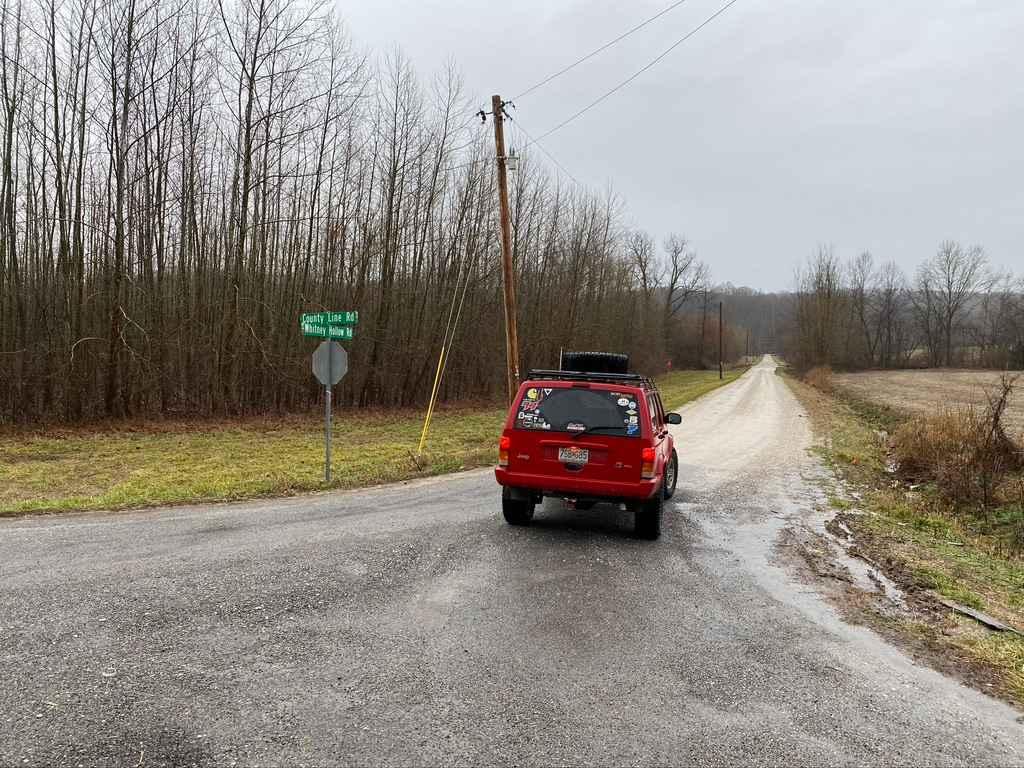
Whitney Hollow Road
Total Miles
2.7
Technical Rating
Best Time
Spring, Summer, Fall, Winter
Trail Type
Full-Width Road
Accessible By
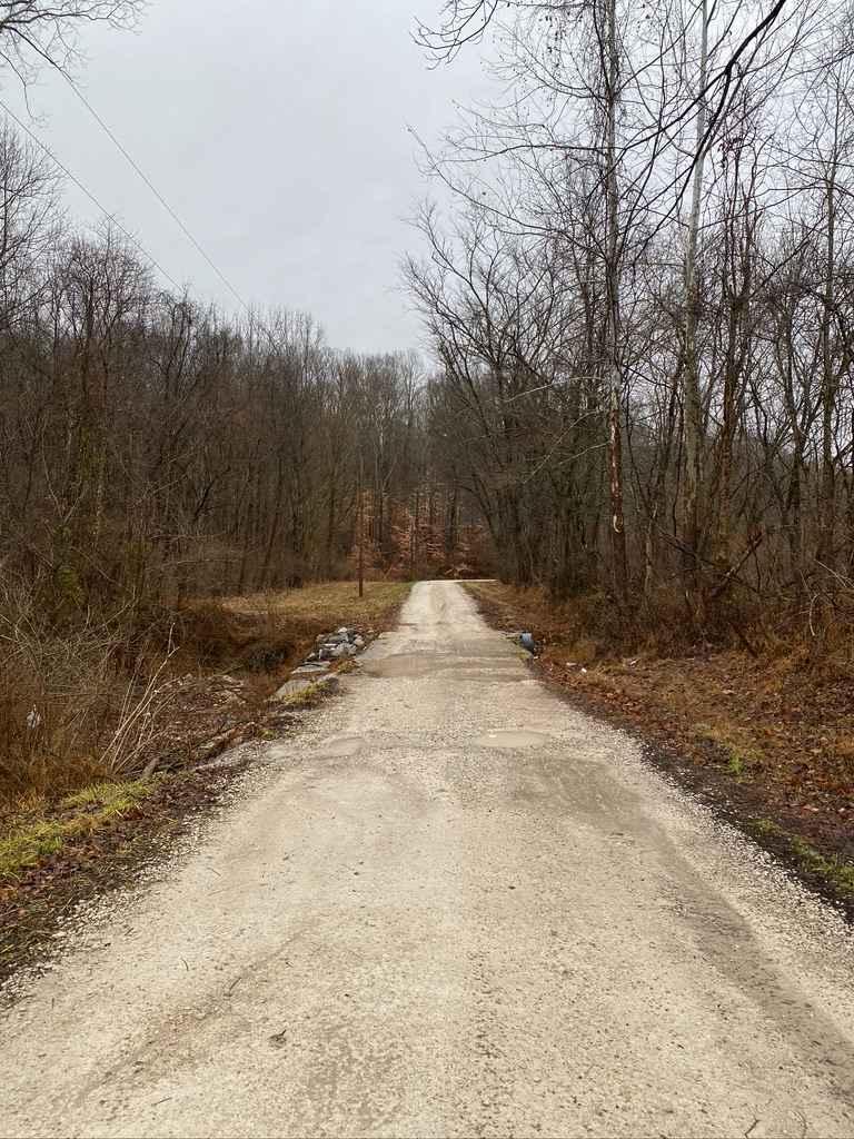
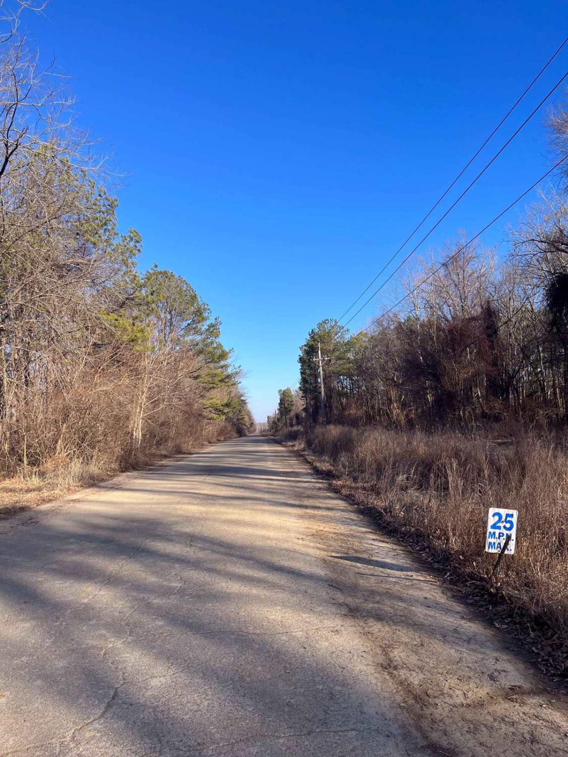
Trail Overview
Whitney Hollow Road is an easy gravel road, that in conjunction with Wilderness Retreat Road, form access in between the Silica Hill section to the Opossum Trot section of Shawnee National Forest. The Whitney Hollow Road features 2 low water bridges with only mild flow during rain fall, this is backed by a slow steady grade uphill when headed south to the point it meets East Delta Road, expect mild washboarding, mounding and potholes. A great route to know through Shawnee National Forest when getting point to point, yet wanting to stay off the blacktop.
Photos of Whitney Hollow Road
Difficulty
This is just a simple gravel road connecting trail to trail through the forest. Mild washboarding, potholes, and mounding is the only challenge. Two small non threat low water bridges exist, but as said non threat.
History
At one point the Whitney Hollow Road, must have been the original SFR 633, that was later converted into the County Road it is today.
Status Reports
Whitney Hollow Road can be accessed by the following ride types:
- High-Clearance 4x4
- SUV
Whitney Hollow Road Map
Popular Trails
Whitney Hollow Road

South Forest Road
Center Hitching Post - FS 1454
The onX Offroad Difference
onX Offroad combines trail photos, descriptions, difficulty ratings, width restrictions, seasonality, and more in a user-friendly interface. Available on all devices, with offline access and full compatibility with CarPlay and Android Auto. Discover what you’re missing today!