Center Hitching Post - FS 1454
Total Miles
1.6
Technical Rating
Best Time
Spring, Summer, Fall
Trail Type
Full-Width Road
Accessible By
Trail Overview
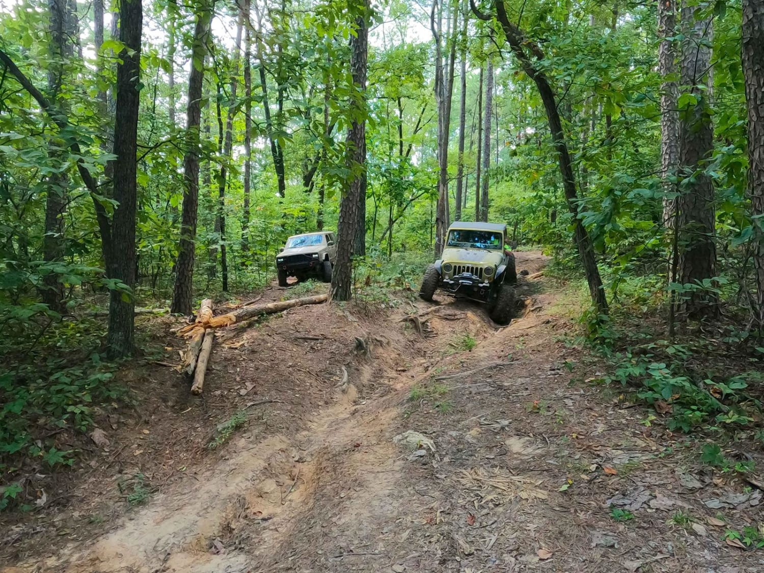
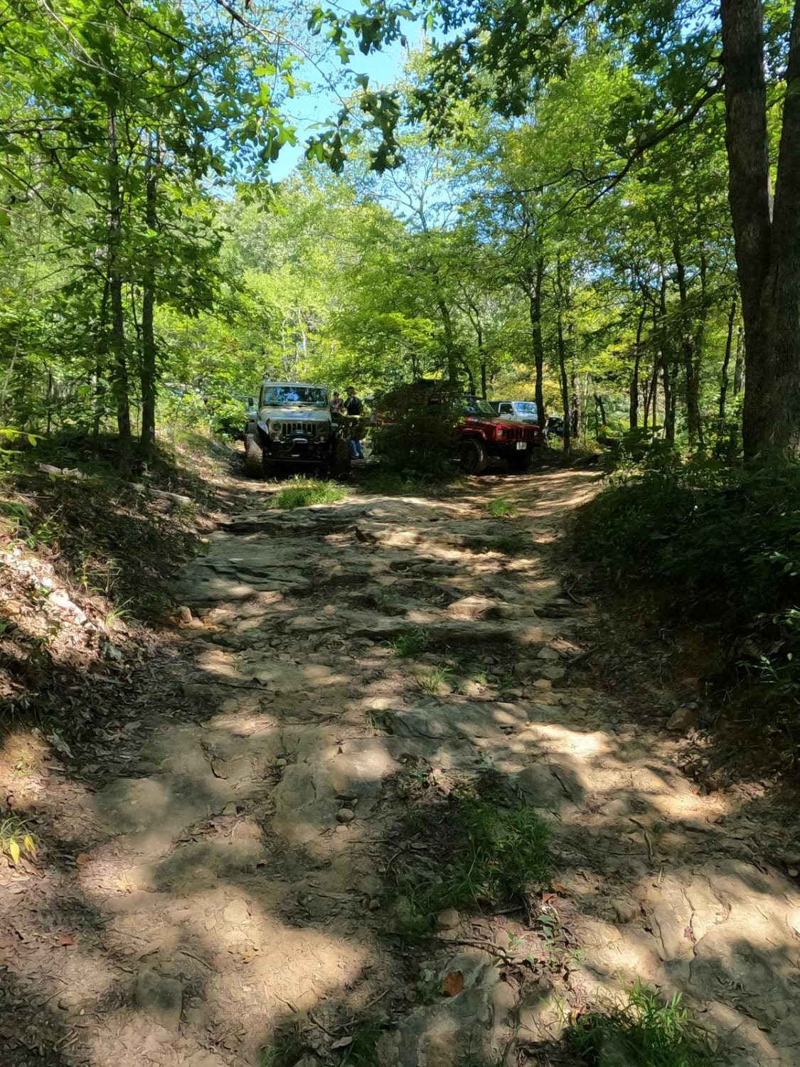
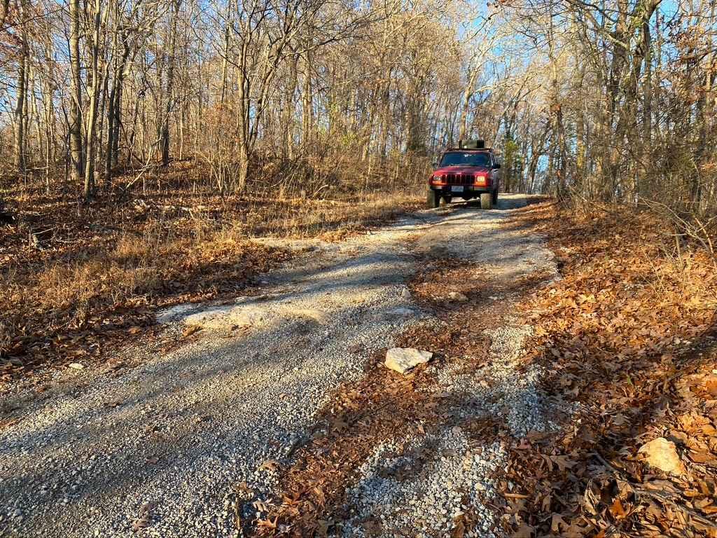
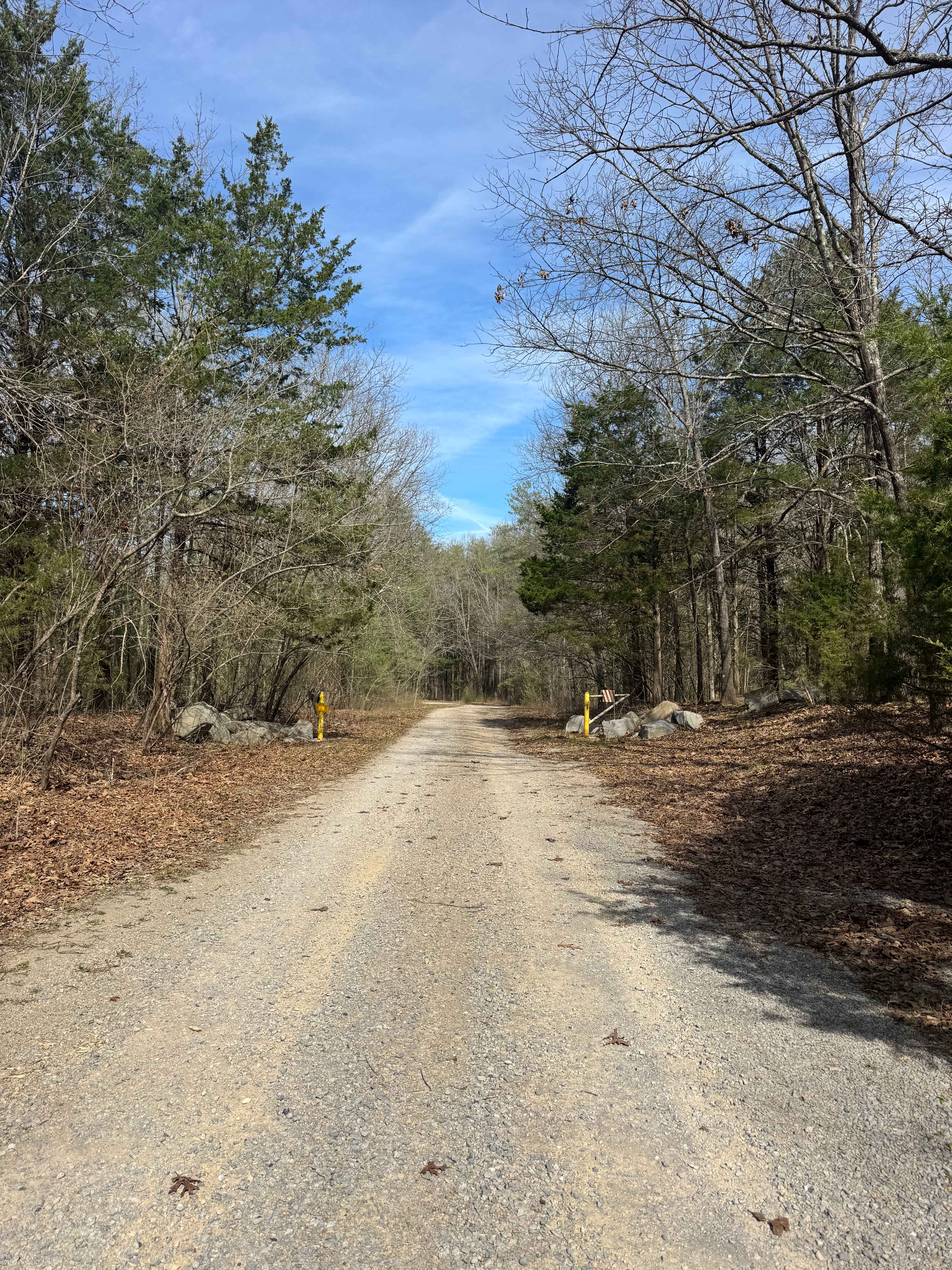
The Center Hitching Post FSR 1454 (or Horton Hill North) is a rough natural forestry road through the Eagle Mountain area within the Hidden Springs sector of Shawnee National Forest. This center section of Hitching Post is a ridge-top dirt road that connects between the Upper Horton Hill Triangle (intersection with Dennison FSR 106) but towards the south end (after passing the intersection with Horton Hill Spur I FSR 696), the road drops downhill to the Lower Horton Hill Triangle (intersection with Horton Hill Spur Road FSR 1452). The road features a fair amount of natural rock and tree roots popping out at the surface, mud holes both big and small, and large vehicle-sized ruts, with a foundation of tight tree lines along a dirt road that joins it all together. It's lots of fun and challenging at points, especially if the road is wet or has fallen leaves on it. This area is held with high regard by Shawnee National Forest and is given a time of rest, closing between December 9th to May 9th yearly.
Photos of Center Hitching Post - FS 1454
Difficulty
The Center Hitching Post FS 1454 is a thrill, offering ruts, mud, and rocks over a dirt base that could turn into thin mud with mild rain. The ruts can range from mild 6-inch-deep erosion to upwards of two feet deep, and be placed on mild to moderate grades. This forces the driver to pick wise lines to remain in traction or from sliding into these ruts' soft bottoms. There is also a mild amount of rock spread throughout the trail, including a few small 6 to 18-inch ledges at the northern entry and on the northern grades. These are subject to change and grow with more user and erosion influence. The mud holes through this section are 12 to 24 inches deep and are generally soft-bottomed, so momentum and clearance are key to conquering them. However, these are generally able to be bypassed or mostly avoided with some critical thought. The trail has an easy route through it that can be used to keep this at a high demanding 3/10 if you don't aim for the deepest ruts and large mud holes. These optional lines hit the 5/10 range in their present depth, and due to this, are given a 4/10 average base rating for the mix of the two. Note that the difficulty of the trail would only increase in times of wet conditions and rainy seasons, and the presence of leaves also brings a low traction element into the mix towards the tail-end of the trail open season (mid-October to December 8th).
Status Reports
Center Hitching Post - FS 1454 can be accessed by the following ride types:
- High-Clearance 4x4
- SUV
Center Hitching Post - FS 1454 Map
Popular Trails
Rock Top SFR 233
Lake Of Egypt Campground Drive - FS 871A
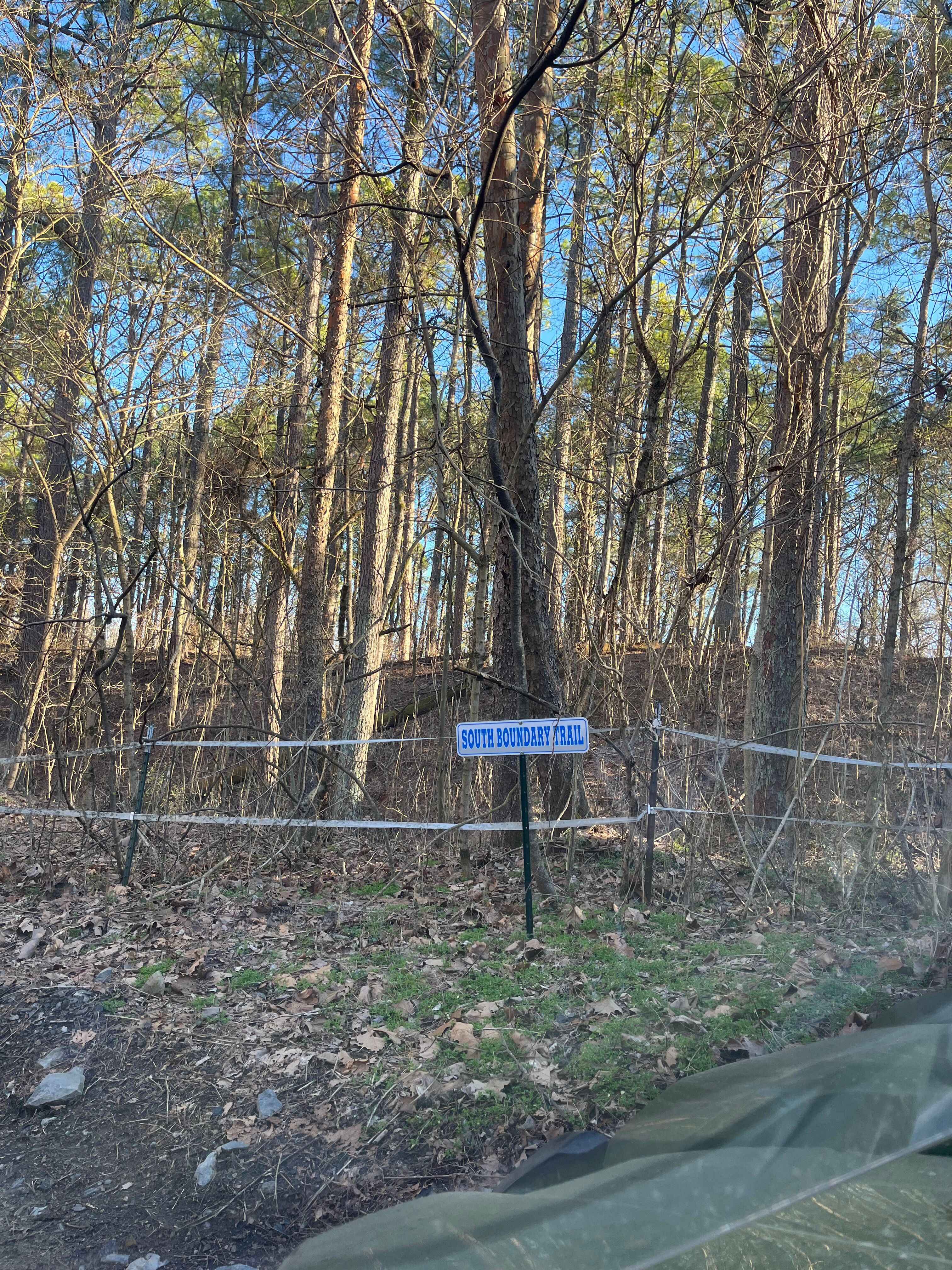
South Boundary Trail
The onX Offroad Difference
onX Offroad combines trail photos, descriptions, difficulty ratings, width restrictions, seasonality, and more in a user-friendly interface. Available on all devices, with offline access and full compatibility with CarPlay and Android Auto. Discover what you’re missing today!