Burner Hill FSR 620
Total Miles
0.5
Technical Rating
Best Time
Spring, Summer, Fall, Winter
Trail Type
Full-Width Road
Accessible By
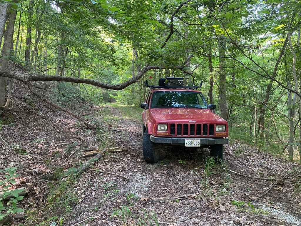
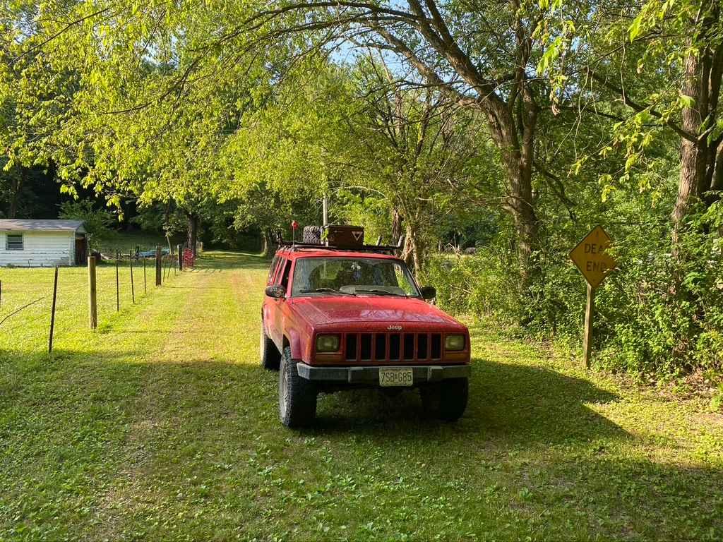
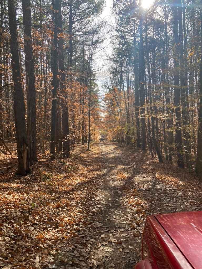
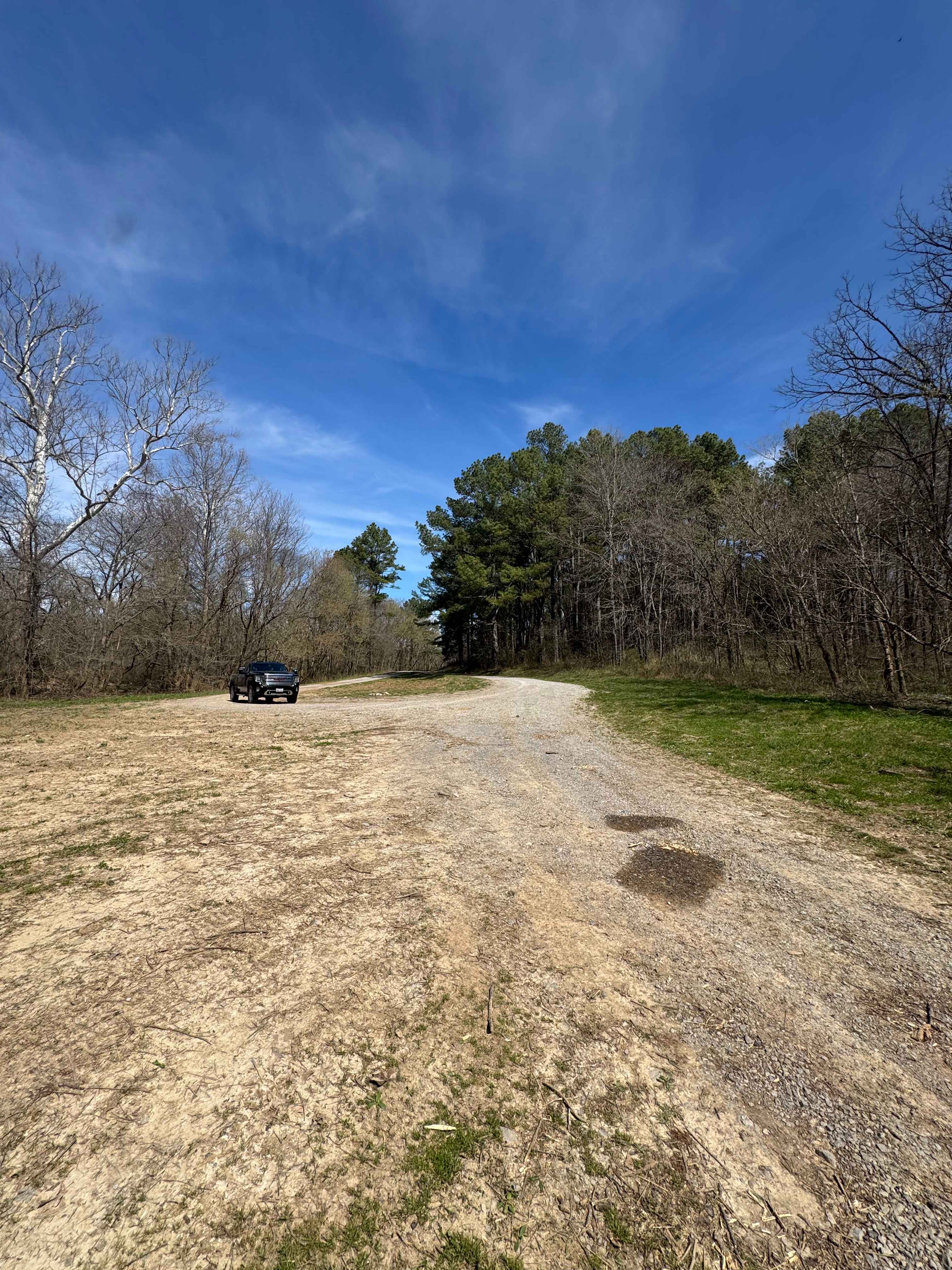
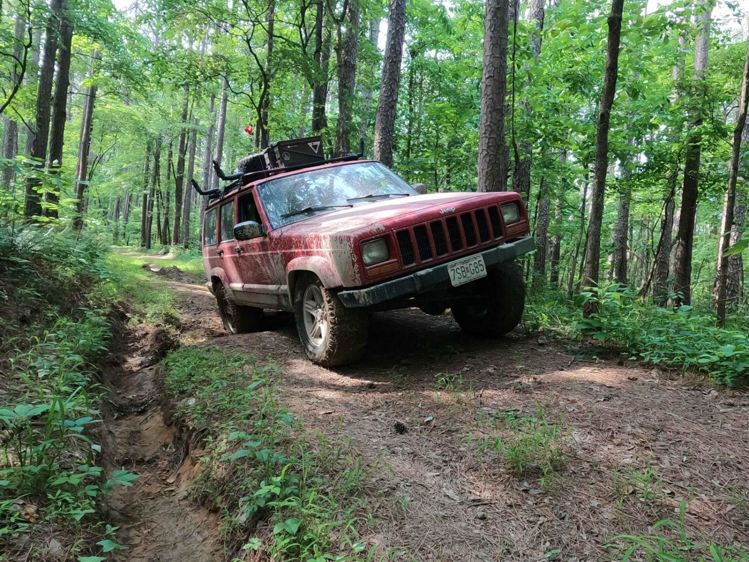
Trail Overview
Burner Hill FSR 620 is an old gravel forestry road in the southern area of the Mississippi Bluffs sector of Shawnee National Forest. The road seems near-forgotten, and shows little signs of use or maintenance. Fallen trees add to the fun and challenge of weaving your way to the top of the road. The road seems to once connected all the way to Opossum Trot but has since been cut off and restricted. The majority of the road has faded into dirt, but still shows signs of once being gravel, and has natural course rock in spots. There is also a few ruts along the way where natural water erosion adds a speed bump to the road, but nothing too extreme, this all flows downhill from the south ridge tops to the valley to the north. There is a decent turnaround at the top, featuring a camp-able cut out.
Photos of Burner Hill FSR 620
Difficulty
The difficulty of the Burner Hill FSR 620, is currently in the height clearances and dodging trees, high probability of pinstriping. The road has a mild grade to the top and at moments could feel steep, but over it is a lite climb. Along the way, there is a few small water-eroded ruts on the journey to the top, but these are at most a foot deep, and with a small amount of momentum shouldn't have enough softness to hang up any high clearance 4WD. This all said it is given a base difficulty of 2/10, but with heavy rain or snow, could be pushed up to a 3/10.
Status Reports
Burner Hill FSR 620 can be accessed by the following ride types:
- High-Clearance 4x4
- SUV
Burner Hill FSR 620 Map
Popular Trails
Grandpa's Getaway
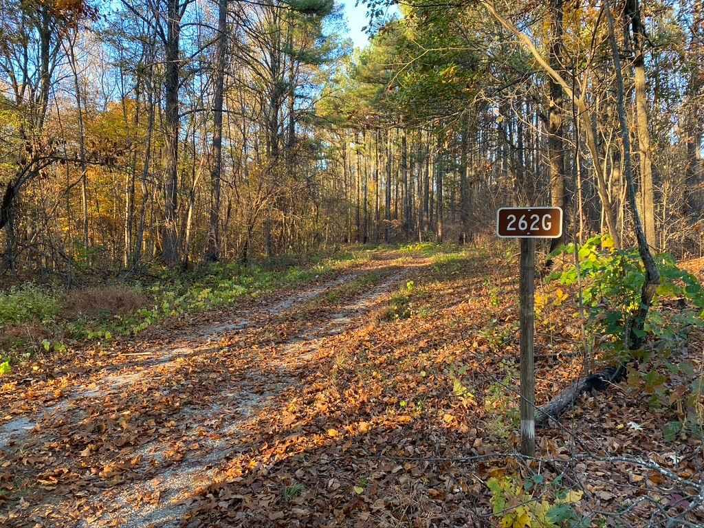
Slick Ridge SFR 262G
Dennison FSR 106
The onX Offroad Difference
onX Offroad combines trail photos, descriptions, difficulty ratings, width restrictions, seasonality, and more in a user-friendly interface. Available on all devices, with offline access and full compatibility with CarPlay and Android Auto. Discover what you’re missing today!