South Forest Road
Total Miles
2.8
Technical Rating
Best Time
Summer, Fall, Spring
Trail Type
Full-Width Road
Accessible By
Trail Overview
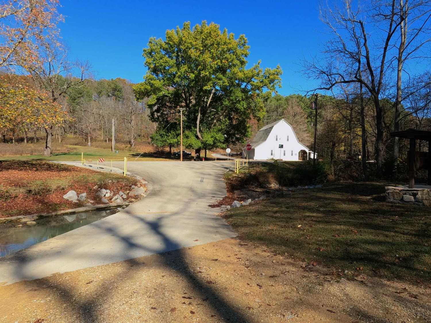
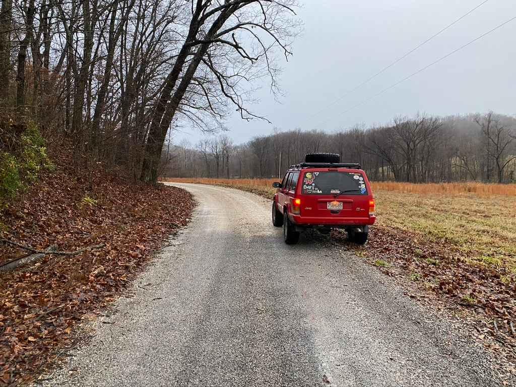
South Forest Road is the gravel-based southern forest loop within the Illinois Trail of Tears State Forest. It features a one-way track from the western entry to the east exit on the paved State Forest Road. The area features a yearly closure from December 24th to the end of the wild Turkey Season (mid-May), and general public access is closed daily from 9 PM to 8 AM; permitted/paid guests are exempt and allowed during these hours. The road is mild, with only mild erosion on the hill portions of the track, but it makes up for this by being very scenic, featuring deep valleys with narrow ridge tops full of foliage and wildlife. The area is geared for camping and hiking-based recreation, and features a day-use area with playgrounds and a large pavilion, and campsite plots along the loop labeled S-1 through S-4, these feature vault toilets, BBQ pits, and picnic tables, with a few select sites featuring a small pavilion for extra accommodations. The unique landmark along this road is the Union Firetower, found at 37.47869, -89.35792; as of 11/2024, it is still standing but not climbable, having a gate around the base.
Photos of South Forest Road

Difficulty
The South Forest Road is given a 1/10 rating based on its general well-maintained condition. There are only mild examples of spots where the gravel fades to dirt, and water erosion on the hills leading up to and down from the ridge top that the track mostly follows. It is safe to expect washboarding, potholes, and mounding of the gravel. In wet seasons and condition scenarios, the low water bridges at the entry can feature mild water depths and could increase difficulty.
History
The Union Lookout, also known as Trail of Tears Lookout, is located along South Forest Road, at 37.47869, -89.35792. It was constructed between 1936 and 1938 by the CCC, who also constructed other things such as the rock walls along the lower creek at the entry of the trail. It is an 80' steel tower with 7'x7' cab. On February 5th, 2003 the tower was placed on the National Register of Historic Places, despite this the tower is gated off and is showing a steady decline through fading paint and rotten boards. "The area once was used intensively by prehistoric Native Americans, who were pushed south and west around 1803, as settlers of European descent entered. In 1838-39 the Cherokee, Creek, and Chickasaw nations were forced by the U.S. Army to move from the southeast to reservations in Oklahoma Territory. They overwintered at makeshift camps 2 miles south of the forest, where bitter cold and starvation claimed hundreds of lives. The cruel trek came to be known as the "Trail of Tears," an event now memorialized by the state forest's name. In 1929, the state purchased 3,000 acres, first known as the Kohn-Jackson Forest, later the Union State Forest, and finally, in 1978, the Trail of Tears State Forest. Beginning with World War I veterans in the early 1930s, a series of camps were established at the site, including the Civilians Conservation Corps (CCC), temporary work camps for World War II prisoners of war, and finally a state corrections youth camp, which closed in the late 1960s. The CCC, in particular, had a profound effect on the forest, as it built many of its stonework creek walls, log shelters, and roads." Sourced from: https://camp.exploremoreil.com/location/282
Status Reports
South Forest Road can be accessed by the following ride types:
- High-Clearance 4x4
- SUV
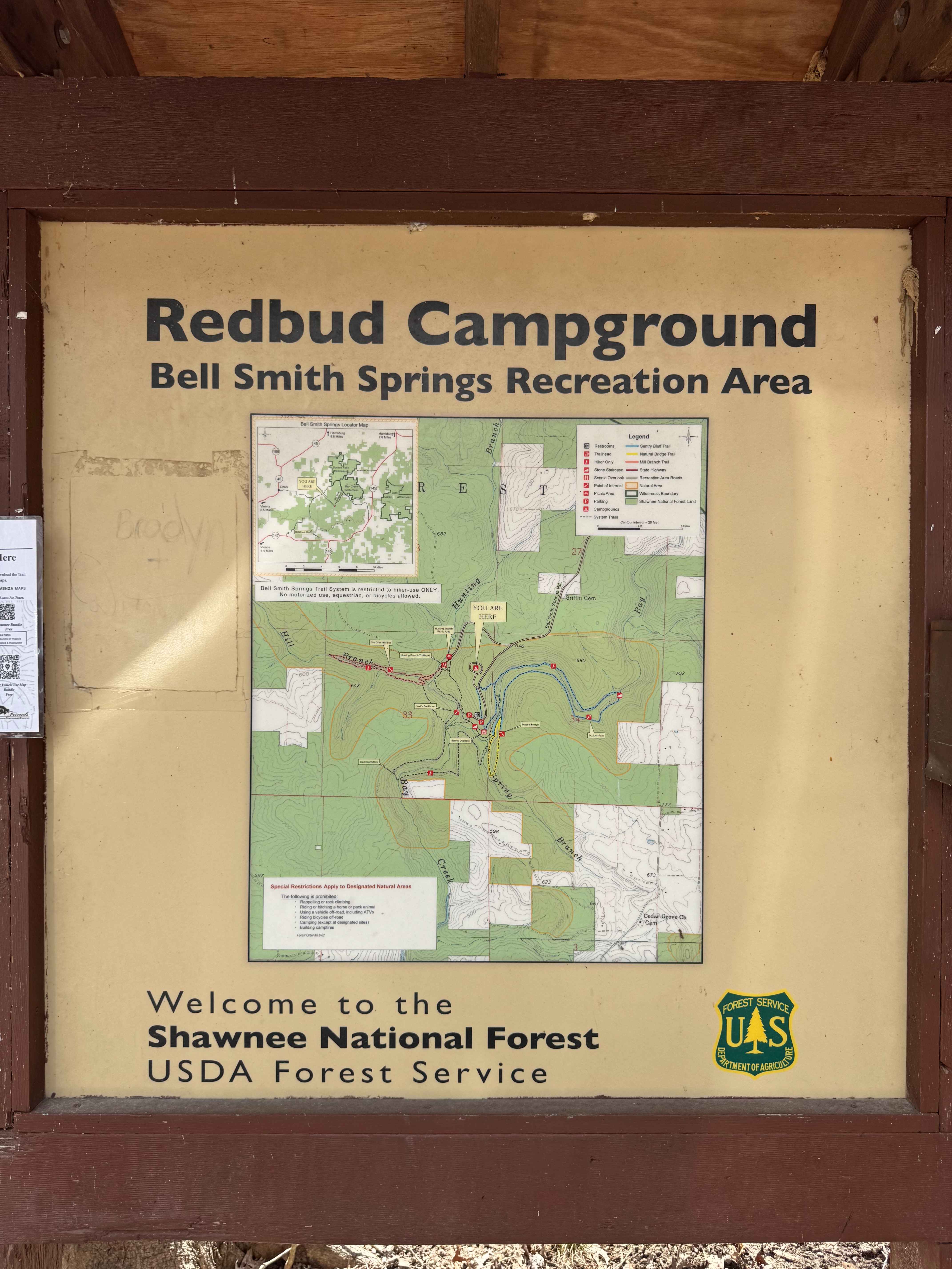
South Forest Road Map
Popular Trails
East Delta Road
Bell Smith Spring Hiking Area

Dennison FSR 106

North Forest Road
The onX Offroad Difference
onX Offroad combines trail photos, descriptions, difficulty ratings, width restrictions, seasonality, and more in a user-friendly interface. Available on all devices, with offline access and full compatibility with CarPlay and Android Auto. Discover what you’re missing today!