
Dirt Bike Trails
Near Markleeville, California
Explore All Dirt Bike Trails Near Markleeville, California
Dirt Bike Trails Near Markleeville, California
Discover the best dirt bike trails near you. Browse trail maps, check difficulty ratings, and find your next adventure — whether you're looking for a quick ride or an all-day expedition.
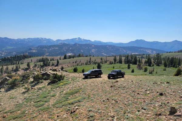
Pistol Point Trail
Pistol Point Trail is one vehicle wide with places to pass on this double track dirt trail. The trail ascends from an elevation of 8,820 feet to a maximum elevation of 9,286 feet. There is a seasonal, shallow, narrow water crossing on this trail. Snow can be found about a mile from the trail head, ...
Learn more about Pistol Point Trail
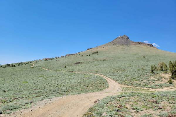
Hawkins Peak Road
Hawkins Peak Road begins as a gradual accent and is typically one vehicle wide with places to pass on this double track dirt trail. The trail gradually ascends from an elevation of 7,057 feet to 9,689 feet. There are no water crossings on this trail. Snow can be found on the East hill side of Hawkin...
Learn more about Hawkins Peak Road
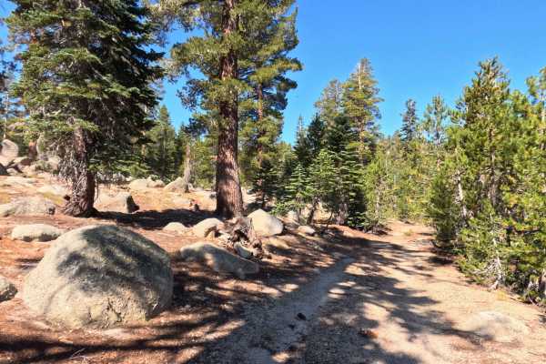
Burnside Lake - FS 31205
Set within an alpine pine forest featuring granite outcrops and grassy mountain clearings in the Humboldt-Toiyabe National Forest, Burnside Lake - FS 31205 offers a quiet, unmaintained backcountry detour. Accessed directly off of main Burnside Lake Road near Hope Valley, this single-lane dirt spur f...
Learn more about Burnside Lake - FS 31205
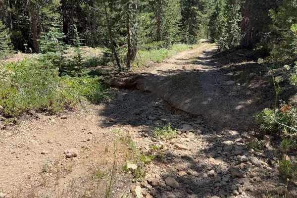
Hawkins Spur D - FS 31205D
Set within a high-elevation alpine forest of Jeffrey pines, firs, and granite outcrops in the Humboldt-Toiyabe National Forest, Hawkins Spur D (FS 31205D) serves as a rugged connector trail linking Burnside Spur A (FS 31205A) down to Burnside Connector Spur B beneath Hawkins Peak. Off-road enthusias...
Learn more about Hawkins Spur D - FS 31205D
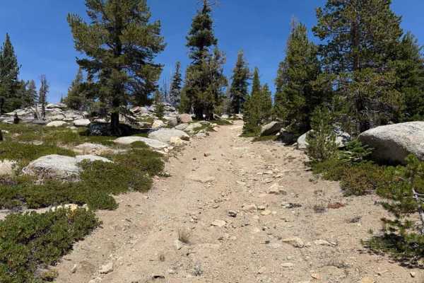
Burnside Spur - FS 31205A
Set within an alpine pine forest featuring granite boulders and sagebrush slopes in the Humboldt-Toiyabe National Forest, Burnside Spur - FS 31205A provides a rugged, quiet high-country excursion. Accessed directly off Burnside Lake Road - FS 31205 near Hope Valley, this single-lane out-and-back spu...
Learn more about Burnside Spur - FS 31205A
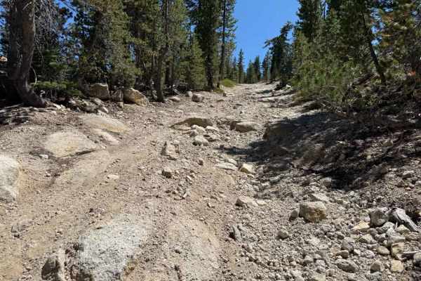
Burnside Connector Spur B - FS 31205B
Set within a serene high-alpine conifer forest of tall Jeffrey pines and granite boulder outcrops in the Humboldt-Toiyabe National Forest, Burnside Connector Spur B (FS 31205B) offers a picturesque mountain detour. Accessed either directly off Burnside Lake Road (FS 31019) or via Hawkins Spur D (FS ...
Learn more about Burnside Connector Spur B - FS 31205B
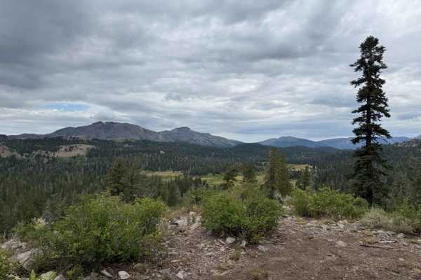
Lower Charity Road - FS 31206
Set within a serene, high-country pine forest managed by the Humboldt-Toiyabe National Forest, Lower Charity Road - FS 31206 provides a secluded and scenic mountain escape. Entered via its slightly steep initial entrance or through the connecting Road - FS 31206B, this single-track dirt spur is prim...
Learn more about Lower Charity Road - FS 31206
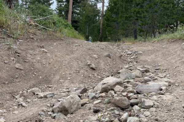
Lower Charity Spur A - FS 31206A
Winding through a picturesque subalpine pine and aspen forest managed by the Humboldt-Toiyabe National Forest, Lower Charity Spur A - FS 31206A offers a scenic and tranquil mountain drive. Accessed directly off Lower Charity Road -FS 31206, this quiet spur is frequently utilized by forest visitors s...
Learn more about Lower Charity Spur A - FS 31206A
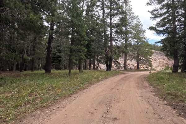
Upper Charity Rd - FS 31068
Set within a picturesque subalpine pine forest managed by the Humboldt-Toiyabe National Forest, Upper Charity Road - FS 31068 offers a charming and secluded high-country loop. Accessed directly from Blue Lakes Road near Highway 88 and the popular Hope Valley Campground, the route briefly borders a p...
Learn more about Upper Charity Rd - FS 31068
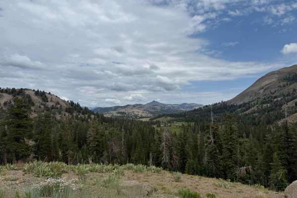
Charity 2 - FS 31362
Managed by the Humboldt-Toiyabe National Forest, Charity 2 - FS31362 meanders through a scenic subalpine pine forest filled with towering evergreens and open mountain meadows. Accessed directly off of Lower Charity Road - FS 31206, the turn is unsigned but clearly defined and easy to spot. Outdoor e...
Learn more about Charity 2 - FS 31362
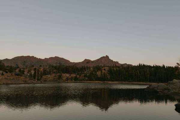
District Spur B - FS 31204B
Set within the tranquil subalpine evergreen forest of the Humboldt-Toiyabe National Forest, District Spur B - FS 31204B provides a remarkably scenic journey through high-country pine terrain. Accessed directly off District Line Road - FS 31204, this narrow out-and-back spur is primarily utilized by ...
Learn more about District Spur B - FS 31204B
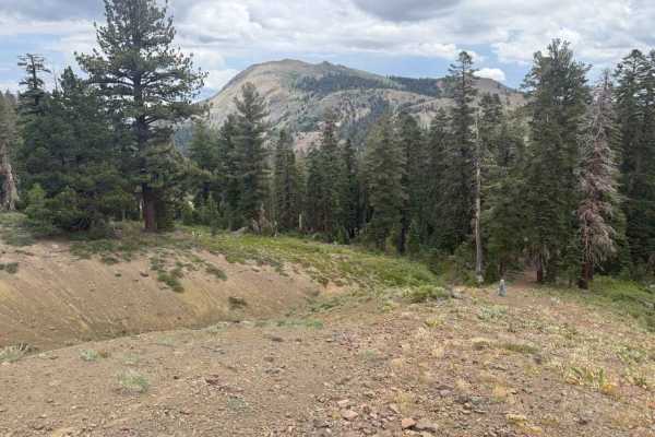
Charity 2 Spur A - FS 31362A
Set within a serene subalpine pine forest bordered by rocky scree slopes managed by the Humboldt-Toiyabe National Forest, Charity 2 Spur A - FS 31362A offers a quiet, remote woodland retreat. Accessed directly off of Charity 2 - FS 31362, this peaceful out-and-back spur is primarily utilized by fore...
Learn more about Charity 2 Spur A - FS 31362A
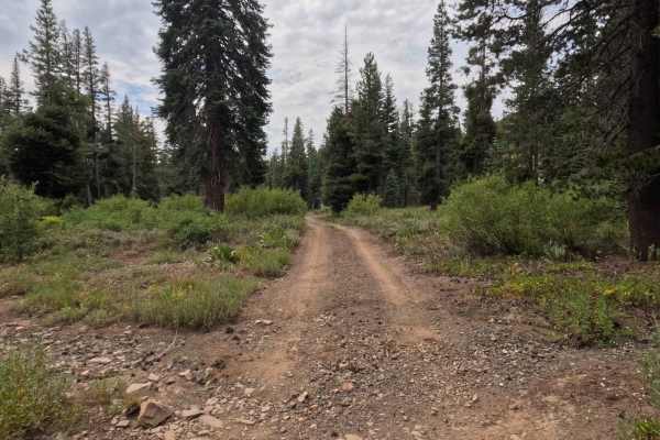
South Charity Road - FS 31068A
Nestled along a steep timbered hillside in the Humboldt-Toiyabe National Forest, South Charity Road - FS 31068A cuts through a scenic subalpine environment of dense evergreens, wild meadow edges, and active mountain drainage corridors. Accessed directly off Upper Charity Road - FS 31068 and running ...
Learn more about South Charity Road - FS 31068A
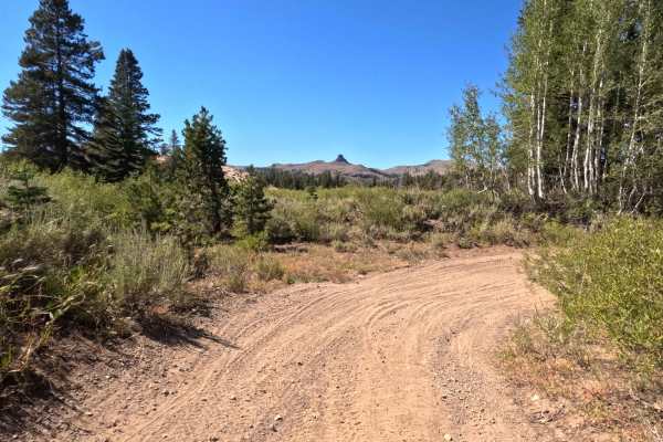
Tamarack Road - FS 31097
Set within a dense, subalpine pine and aspen forest managed by the Humboldt-Toiyabe National Forest near the edge of the Mokelumne Wilderness, Tamarack Road - FS 31097 offers a tranquil high-country mountain escape. Accessed directly from Indian Valley - FS 9N03 after leaving the open meadow area, t...
Learn more about Tamarack Road - FS 31097
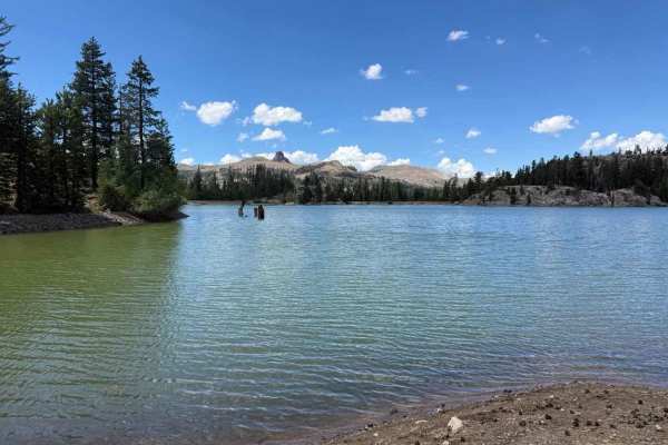
District Line Road - FS 31204
Winding through a picturesque subalpine pine forest within the Humboldt-Toiyabe National Forest, District Line Road - FS 31204 offers a quiet and scenic high-country mountain escape. Beginning directly at the terminus of Sunset Lakes Road - FS 31097, this peaceful route is primarily utilized by outd...
Learn more about District Line Road - FS 31204
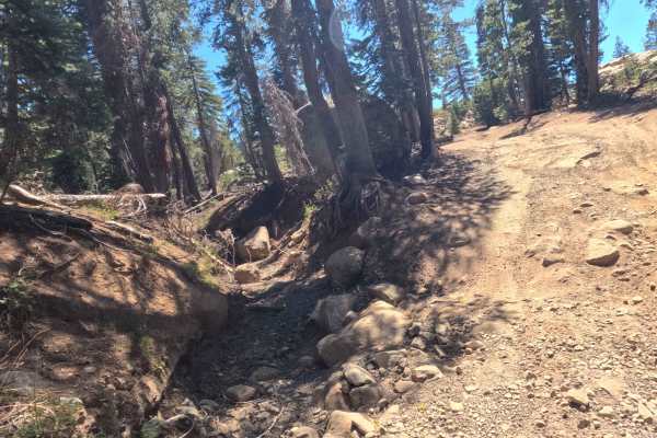
Indian Valley 4WD - FS 9N03
Set within the scenic subalpine pine forests and vibrant mountain meadows of the Humboldt-Toiyabe National Forest near the Eldorado National Forest boundary, Indian Valley 4WD - FS 9N03 offers an engaging high-country trail experience. Accessed directly off the terminus of Sunset Lakes Road - FS 310...
Learn more about Indian Valley 4WD - FS 9N03
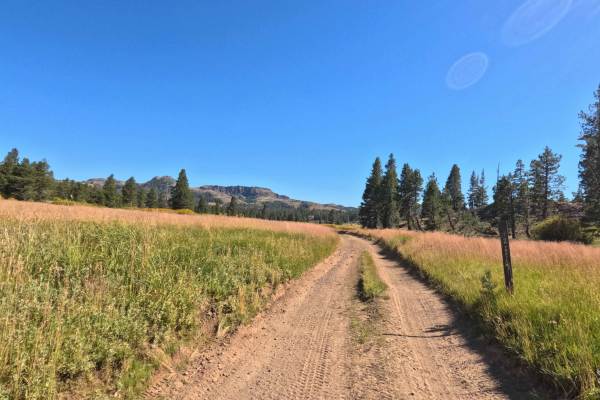
Indian Valley Road - FS 19E04
Winding through a sprawling alpine meadow and dense evergreen forest within the Eldorado National Forest up to the Mokelumne Wilderness boundary, Indian Valley Road - FS 19E04 delivers a scenic high-country mountain route. Accessed directly off Indian Valley - FS 9N03 at the edge of the meadow, the ...
Learn more about Indian Valley Road - FS 19E04
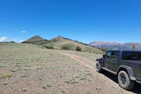
Pickett Peak Road 31053
Pickett Peak Road entrance is marked with USFS number 31053. The gradual ascent is typically one vehicle wide with places to pass on this double-track dirt trail. This first 2.5-mile portion of the trail ascends from an elevation of 7,800 feet to 8,500 feet. The trail descends and then climbs to the...
Learn more about Pickett Peak Road 31053
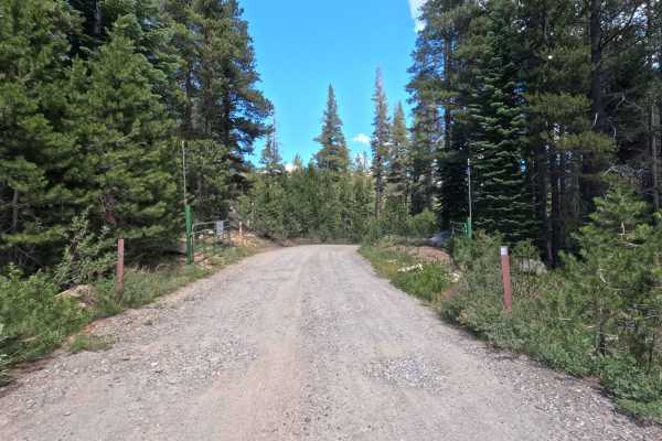
Sunset Lakes Rd - FS 31097
Nestled within the high-country subalpine pine forest of the Humboldt-Toiyabe National Forest, Sunset Lakes Road - FS 31097 delivers a scenic and accessible mountain drive through alpine lakes, lush meadows, and towering evergreens. Accessed directly off Blue Lakes Road, this popular backroad is fre...
Learn more about Sunset Lakes Rd - FS 31097
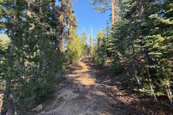
Blue Basin Road - FS 31096
Skirting the high-country border between the Humboldt-Toiyabe National Forest and Eldorado National Forest, Blue Basin Road - FS 31096 winds through a dense, overgrown subalpine pine forest. Accessed directly off the regional forest service road network, this quiet, secluded spur is primarily utiliz...
Learn more about Blue Basin Road - FS 31096
ATV trails near Markleeville, California
Explore ATV-friendly trails near you. These trails are accessible for vehicles up to 50 inches wide, perfect for ATVs and smaller off-road machines.
Pistol Point Trail
Pistol Point Trail is one vehicle wide with places to pass on this double track dirt trail. The trail ascends from an elevation of 8,820 feet to a maximum elevation of 9,286 feet. There is a seasonal, shallow, narrow water crossing on this trail. Snow can be found about a mile from the trail head, ...
Learn more about Pistol Point Trail
Hawkins Peak Road
Hawkins Peak Road begins as a gradual accent and is typically one vehicle wide with places to pass on this double track dirt trail. The trail gradually ascends from an elevation of 7,057 feet to 9,689 feet. There are no water crossings on this trail. Snow can be found on the East hill side of Hawkin...
Learn more about Hawkins Peak Road
Burnside Lake - FS 31205
Set within an alpine pine forest featuring granite outcrops and grassy mountain clearings in the Humboldt-Toiyabe National Forest, Burnside Lake - FS 31205 offers a quiet, unmaintained backcountry detour. Accessed directly off of main Burnside Lake Road near Hope Valley, this single-lane dirt spur f...
Learn more about Burnside Lake - FS 31205
Hawkins Spur D - FS 31205D
Set within a high-elevation alpine forest of Jeffrey pines, firs, and granite outcrops in the Humboldt-Toiyabe National Forest, Hawkins Spur D (FS 31205D) serves as a rugged connector trail linking Burnside Spur A (FS 31205A) down to Burnside Connector Spur B beneath Hawkins Peak. Off-road enthusias...
Learn more about Hawkins Spur D - FS 31205D
UTV/side-by-side trails near Markleeville, California
Find UTV and side-by-side trails near you. These trails accommodate vehicles up to 60 inches wide, ideal for UTVs, side-by-sides, and wider off-road rigs.
Pistol Point Trail
Pistol Point Trail is one vehicle wide with places to pass on this double track dirt trail. The trail ascends from an elevation of 8,820 feet to a maximum elevation of 9,286 feet. There is a seasonal, shallow, narrow water crossing on this trail. Snow can be found about a mile from the trail head, ...
Learn more about Pistol Point Trail
Hawkins Peak Road
Hawkins Peak Road begins as a gradual accent and is typically one vehicle wide with places to pass on this double track dirt trail. The trail gradually ascends from an elevation of 7,057 feet to 9,689 feet. There are no water crossings on this trail. Snow can be found on the East hill side of Hawkin...
Learn more about Hawkins Peak Road
Burnside Lake - FS 31205
Set within an alpine pine forest featuring granite outcrops and grassy mountain clearings in the Humboldt-Toiyabe National Forest, Burnside Lake - FS 31205 offers a quiet, unmaintained backcountry detour. Accessed directly off of main Burnside Lake Road near Hope Valley, this single-lane dirt spur f...
Learn more about Burnside Lake - FS 31205
Hawkins Spur D - FS 31205D
Set within a high-elevation alpine forest of Jeffrey pines, firs, and granite outcrops in the Humboldt-Toiyabe National Forest, Hawkins Spur D (FS 31205D) serves as a rugged connector trail linking Burnside Spur A (FS 31205A) down to Burnside Connector Spur B beneath Hawkins Peak. Off-road enthusias...
Learn more about Hawkins Spur D - FS 31205D
The onX Offroad Difference
onX Offroad combines trail photos, descriptions, difficulty ratings, width restrictions, seasonality, and more in a user-friendly interface. Available on all devices, with offline access and full compatibility with CarPlay and Android Auto. Discover what you're missing today!
Open Trail Map