Trail Overview
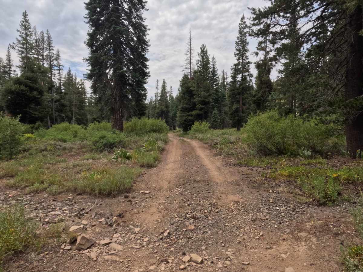
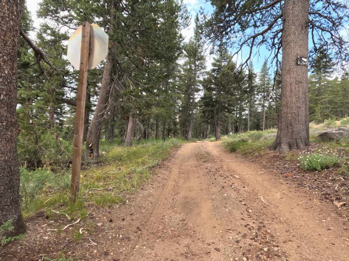
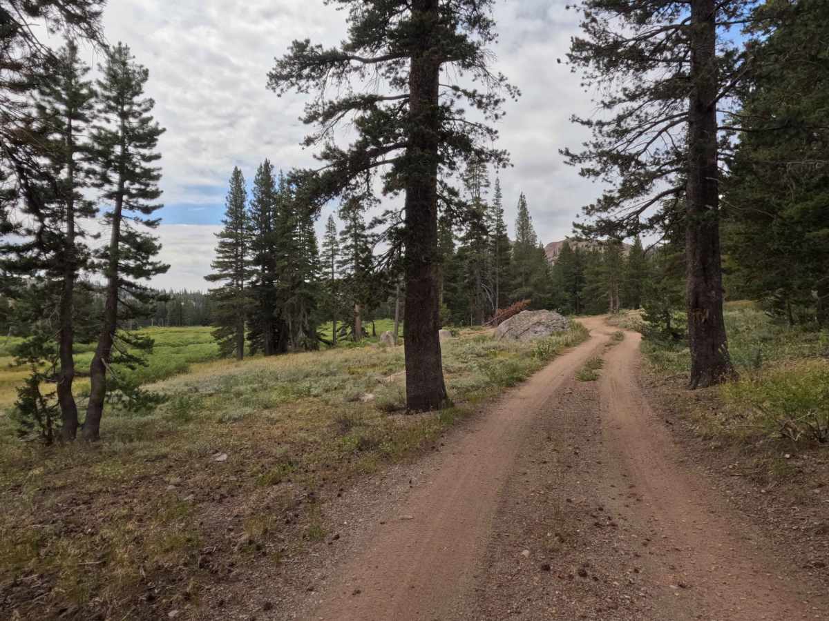
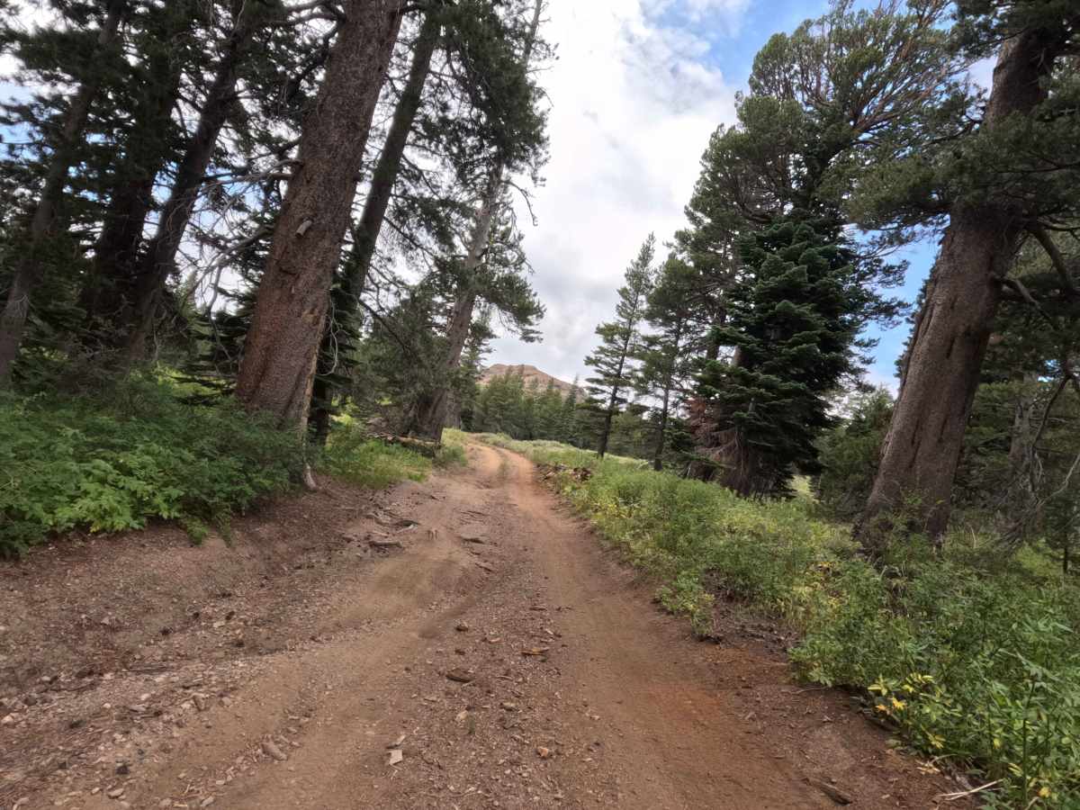
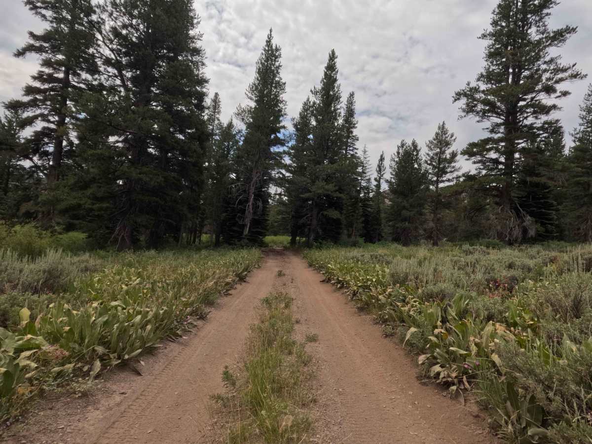
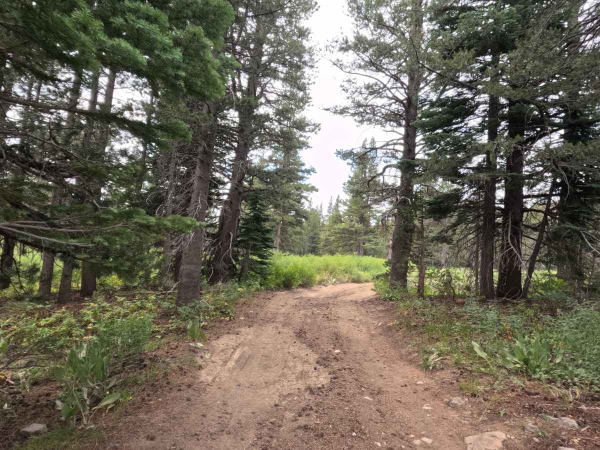
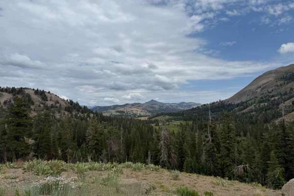
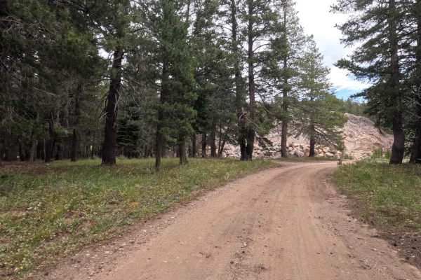
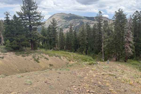
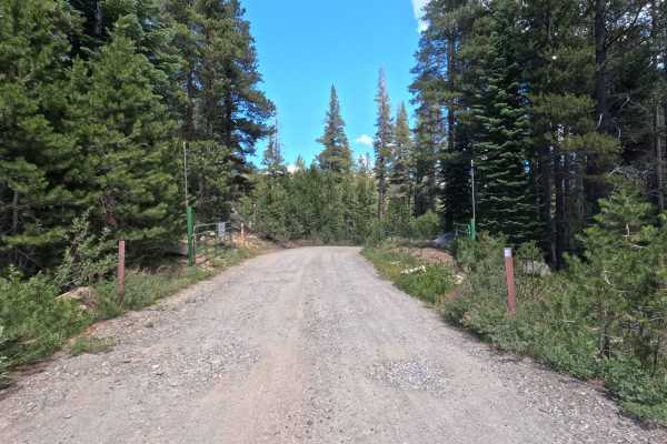
Nestled along a steep timbered hillside in the Humboldt-Toiyabe National Forest, South Charity Road - FS 31068A cuts through a scenic subalpine environment of dense evergreens, wild meadow edges, and active mountain drainage corridors. Accessed directly off Upper Charity Road - FS 31068 and running somewhat parallel to Blue Lakes Road before connecting back near its southern end, this route is frequently used by forest visitors seeking quiet dispersed camping away from primary thoroughfares. Consisting of a single-track, hard-packed dirt and rock surface, this trail earns a Grade 2 difficulty rating while featuring significant seasonal water erosion. Public users travel this route to explore secluded campsites, enjoy mountain vistas, and navigate a more rugged connector option within the Charity Valley area. As you traverse the hillside, the path passes through lush, reedy brush around the 0.8-mile mark before opening up to established camping clearings near the road's terminus.
Difficulty
Earning a Grade 2 difficulty rating that tests ground clearance limits, this single-track dirt and rock road is defined by notable water erosion and deep cross-wash channels. Drivers will encounter several dry stream crossings and narrow erosion cuts featuring steep, abrupt banks on one or both sides. To navigate these spots safely without scraping or high-centering, approach each washout slowly at a slight angle and carefully place your tires on the highest available ground. Additionally, an overgrown stretch near the 0.8-mile mark presents a mild paint-scratch hazard from encroaching vegetation.

 Offroad