Trail Overview
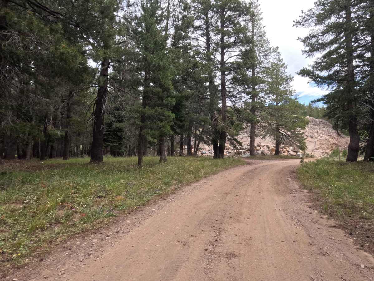
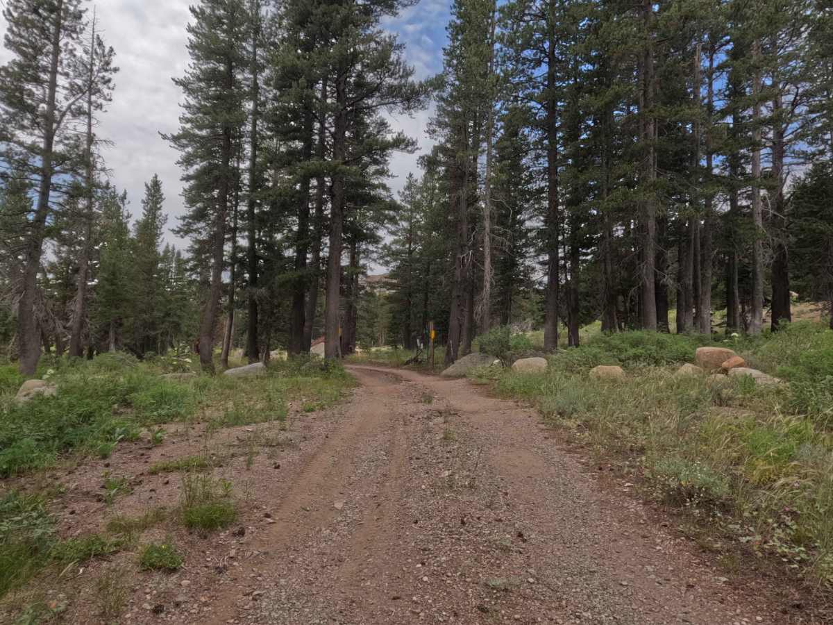
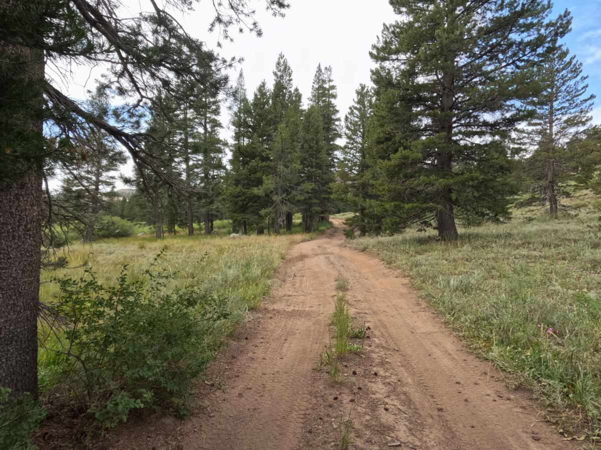
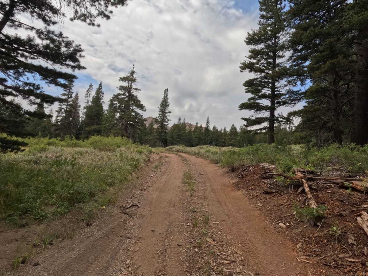
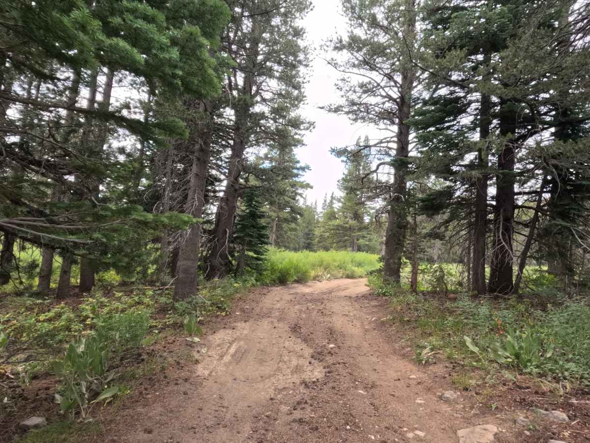
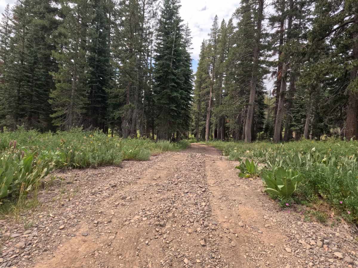
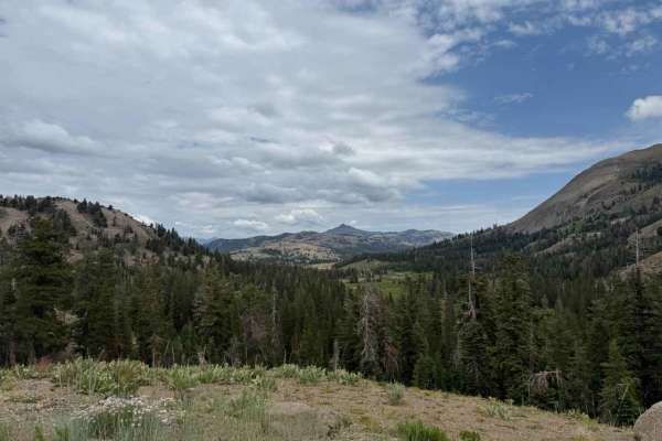
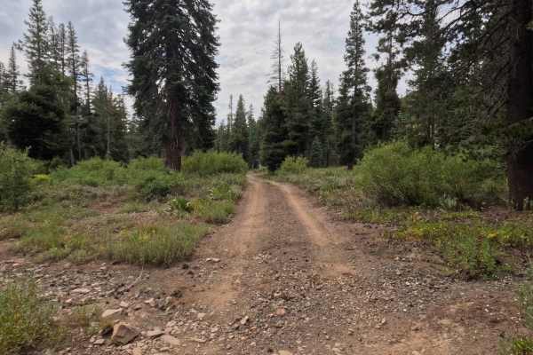
Set within a picturesque subalpine pine forest managed by the Humboldt-Toiyabe National Forest, Upper Charity Road - FS 31068 offers a charming and secluded high-country loop. Accessed directly from Blue Lakes Road near Highway 88 and the popular Hope Valley Campground, the route briefly borders a private property boundary before passing through a seasonal gate onto public land. Public forest visitors primarily utilize this peaceful trail to access a variety of prime, rustic dispersed campsites scattered throughout the valley, or to enjoy quiet outdoor recreation near the surrounding meadowlands. The road surface consists of a single-track, hard-packed dirt trail embedded with small rocks, earning an accessible Grade 2 difficulty rating. As the loop meanders through the shaded timber, drivers will encounter light brush along the edges, minor rutting from spring runoff, and a shallow water crossing that typically runs 6 to 8 inches deep during early to mid-summer. The track continues past several spacious camping clearings before smoothly connecting back to the main road.
Difficulty
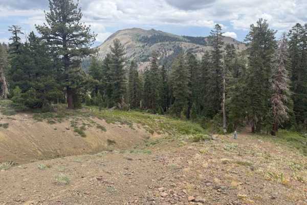
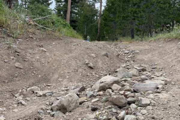
Earning a mild Grade 2 difficulty rating, this is a single-track hard-packed dirt and rock loop that provides an easy, low-stress mountain drive. While the trail presents no severe technical obstacles, you will encounter minor water erosion, short rutted sections, and a shallow creek crossing that usually measures less than a foot deep in summer. A few brief wash cuts feature short, steep banks that require slow, controlled momentum to keep lower vehicle components from making contact with the dirt. Standard stock vehicles can comfortably complete the entire loop during dry summer and fall conditions without requiring elevated ground clearance or specialized four-wheel-drive systems.