Trail Overview
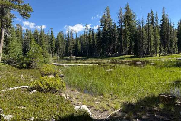
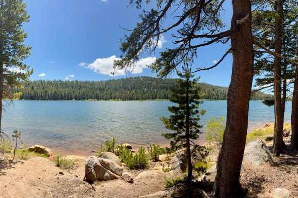
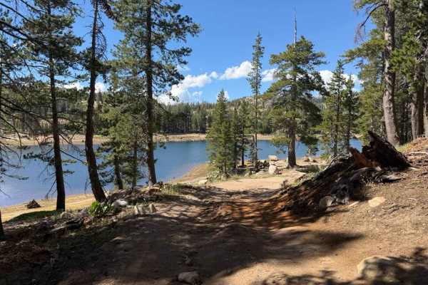
Nestled within the high-country subalpine pine forest of the Humboldt-Toiyabe National Forest, Sunset Lakes Road - FS 31097 delivers a scenic and accessible mountain drive through alpine lakes, lush meadows, and towering evergreens. Accessed directly off Blue Lakes Road, this popular backroad is frequently used by outdoor enthusiasts looking to reach prime dispersed camping spots near Tamarack Lake and Wet Meadows Reservoir, or to park at trailheads providing access to the Pacific Crest Trail and the surrounding Mokelumne Wilderness. The route offers a wide, comfortable right-of-way with plenty of pullouts, making passing oncoming recreational traffic simple and stress-free. As you wind through the scenic forest, you will pass several side spurs before the road ultimately ends at the intersection with District Line Road - FS 31204 and the Indian Valley Four-Wheel Drive Road - FS 9N03.
Difficulty
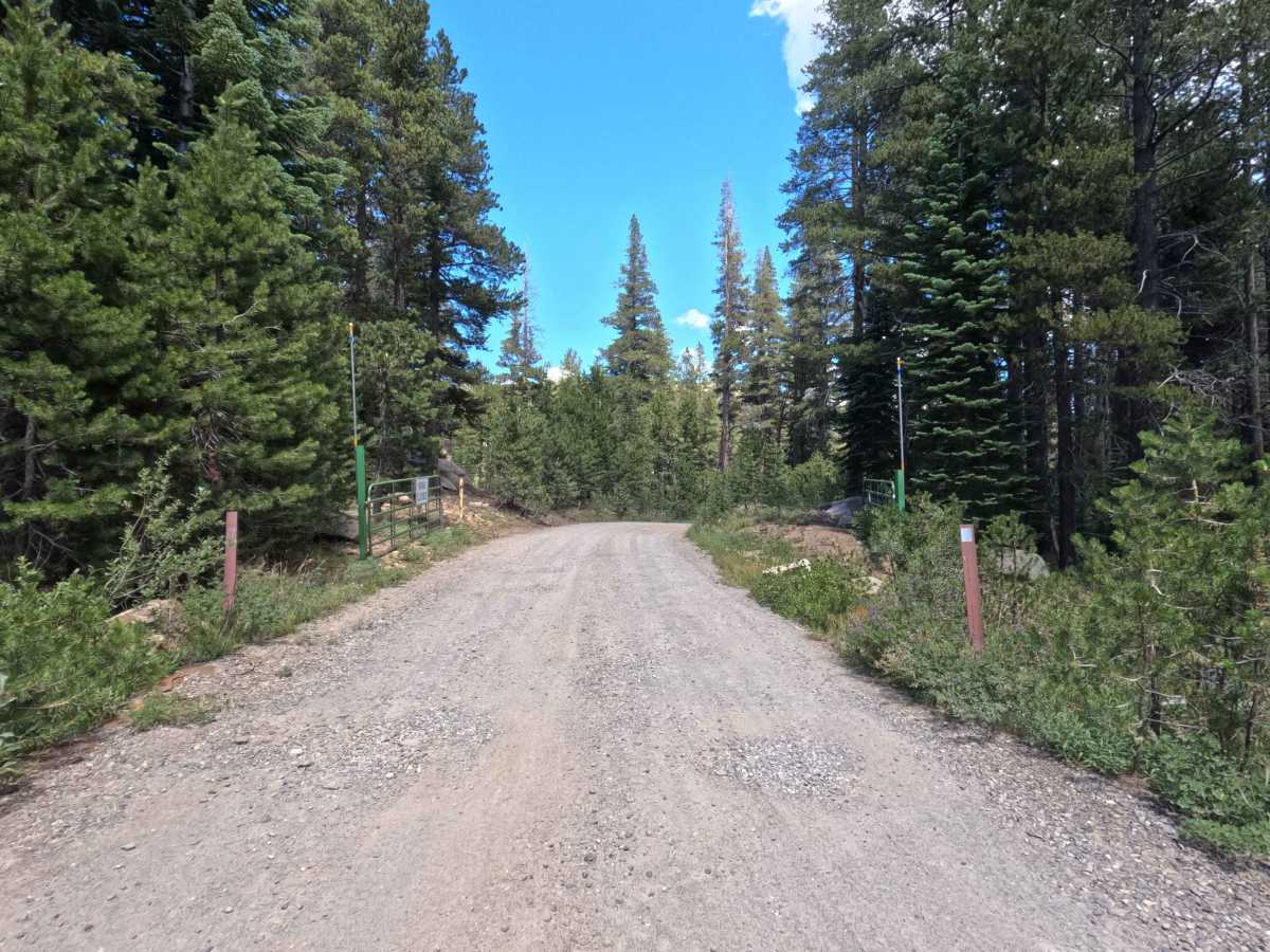
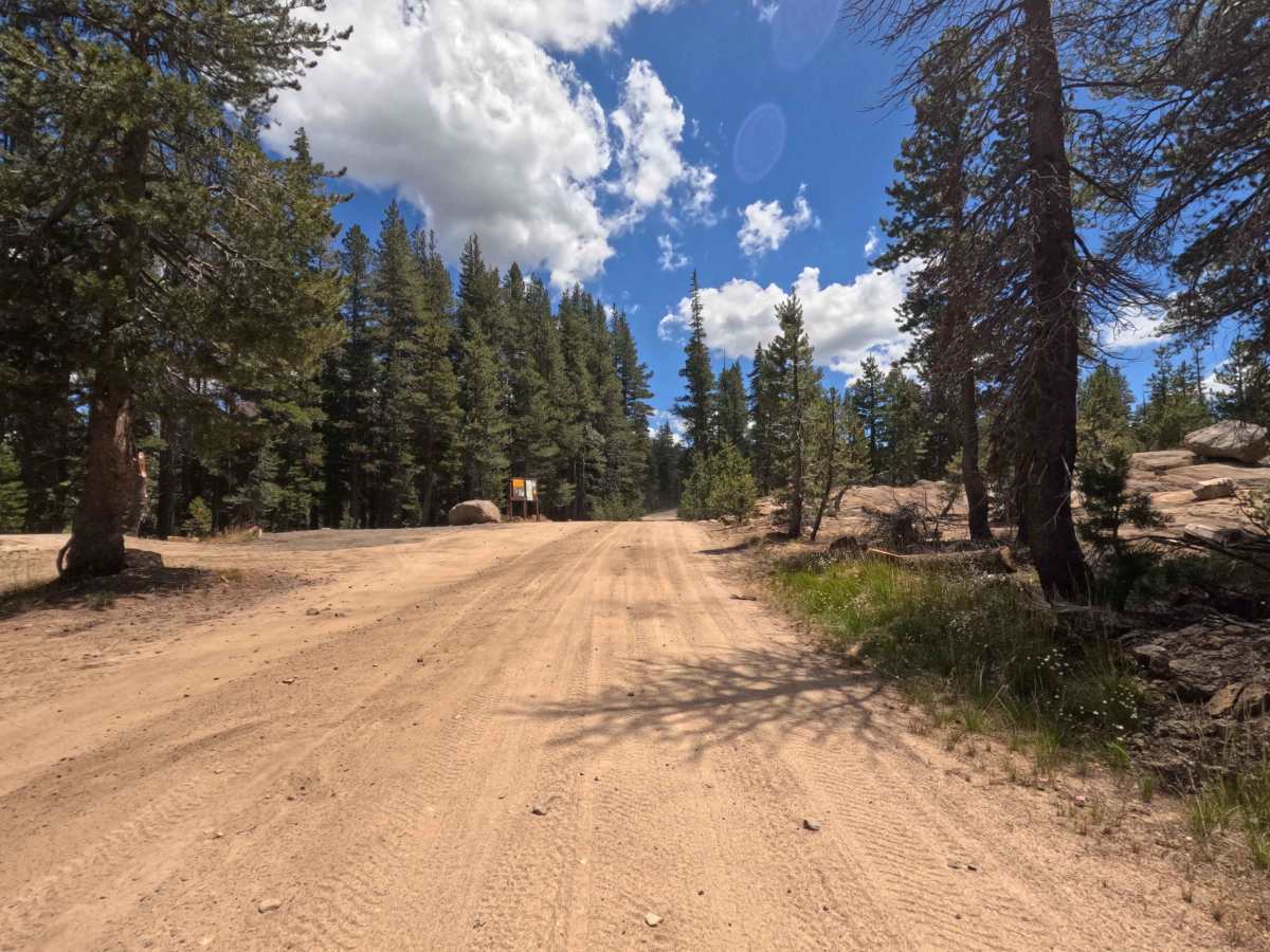
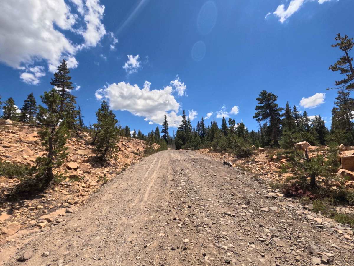
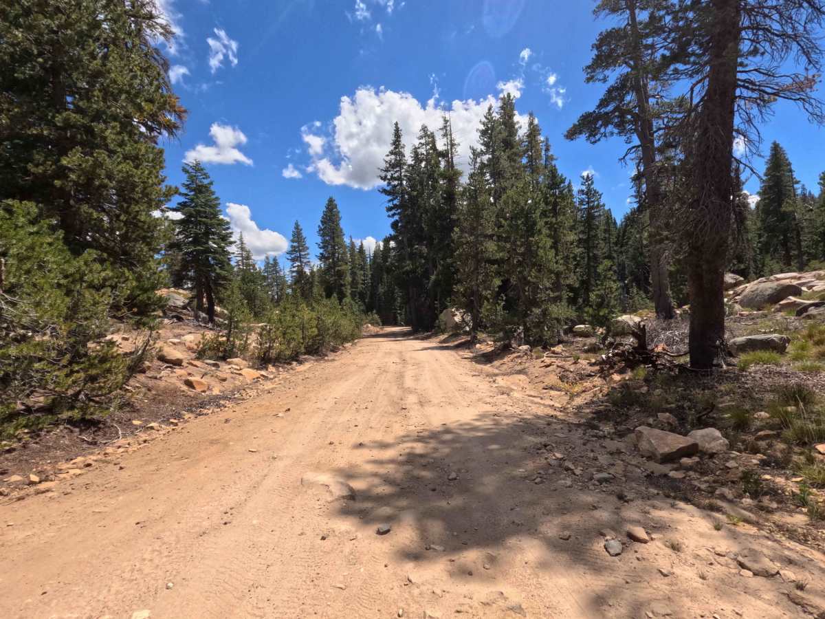
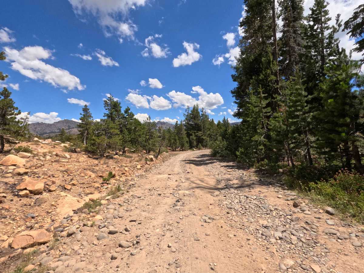
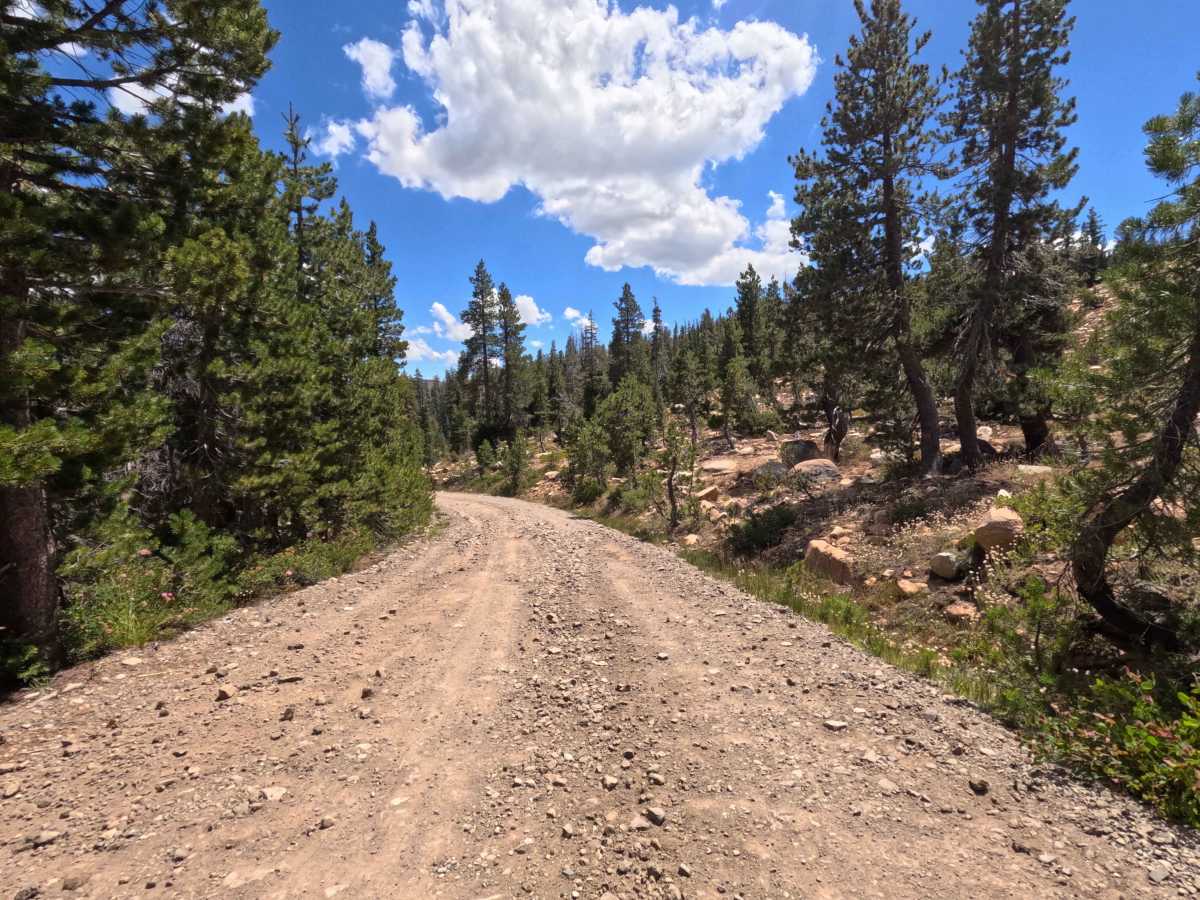
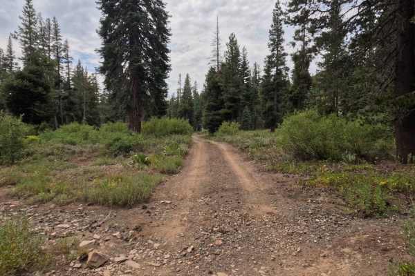
Earning a highly accessible Grade 1 difficulty rating, this is a wide, hard-packed dirt road featuring occasional sections of small embedded stones and loose surface rocks before reaching Tamarack Lake. The driving surface remains consistently firm and well-maintained throughout the 5.8-mile stretch, presenting no major obstacles, deep water bars, or challenging technical washouts. Standard stock vehicles can easily navigate the entire route during normal summer and fall conditions without needing extra ground clearance or specialized traction systems. Simply maintain a polite, comfortable speed, keep an eye out for loose gravel on the turns, and enjoy a smooth drive through the mountains.