Trail Overview
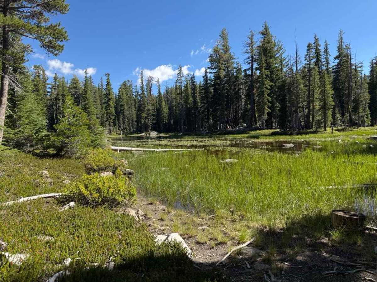
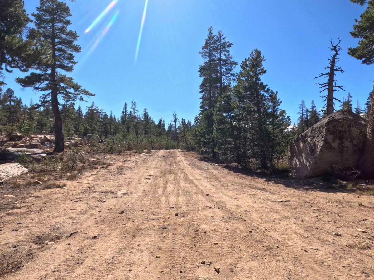
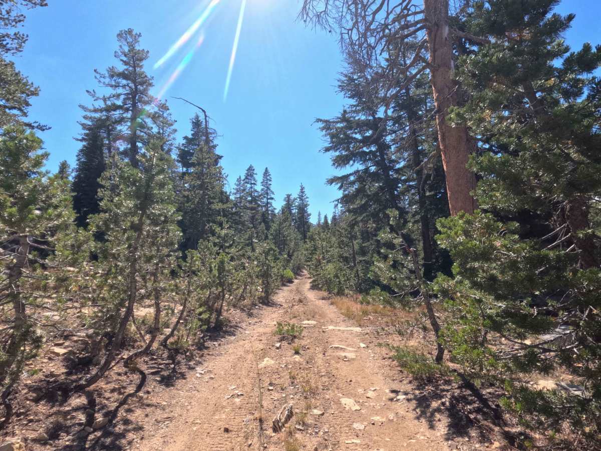
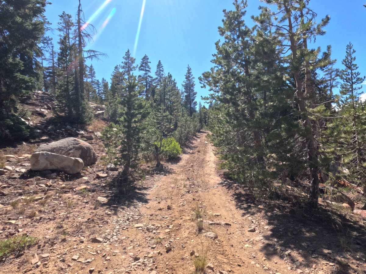
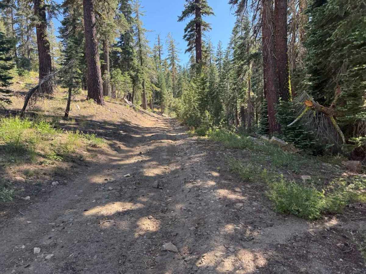
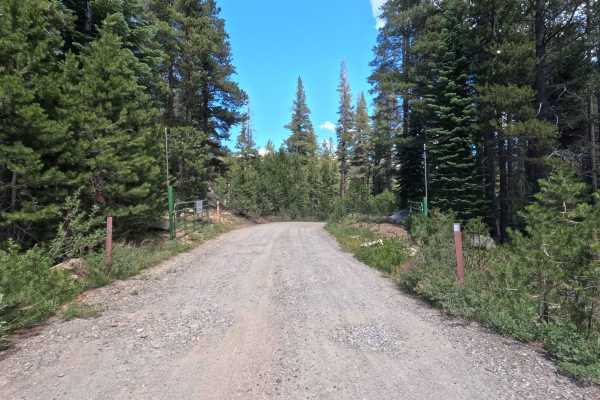
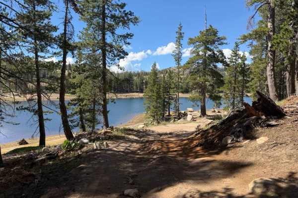
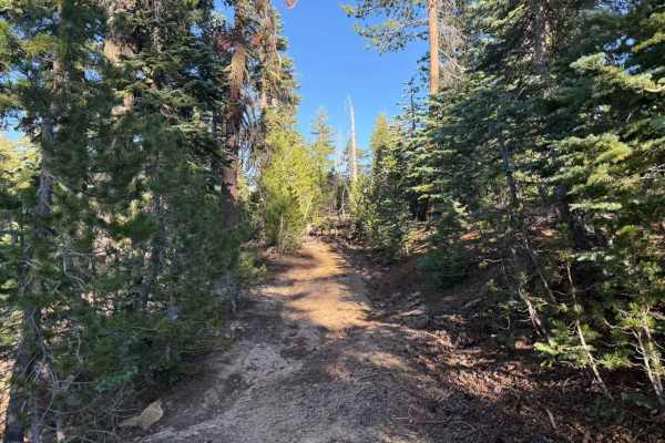
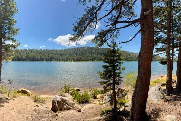
Winding through a dense subalpine pine forest within the Humboldt-Toiyabe National Forest, the Pond Spur offers a secluded, high-country woodland escape. Accessed directly off Sunset Lakes Road - FS 31097 by taking the first right turn just after passing the Tamarack PCT Trailhead parking lot, this unmarked spur is utilized by forest visitors seeking primitive dispersed camping, quiet lakeside relaxation, and convenient access to nearby wilderness trails. The path climbs through tight pine trees before arriving at a fork roughly 0.3 miles in, where taking the left branch leads toward the water. Along the way, travelers will pass three distinct campsite clearings, concluding at a spacious final camping spot nestled beside a quiet forest pond surrounded by towering evergreens.
Difficulty
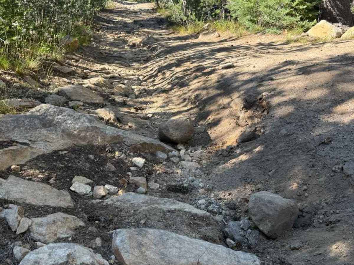
The narrow, rock-embedded dirt track has an uneven surface, encroaching pine brush, and deep washouts. The primary obstacles consist of deep water erosion channels carved directly down the middle of the trail, washed-out ruts filled with loose granite rocks and cobbles, and narrow tree passes that will brush against vehicle sides. Elevated ground clearance is required to safely straddle the eroded gullies without risking undercarriage impacts. Drivers should proceed with caution, carefully select high lines around the deepest washouts, and maintain steady traction up the loose, rocky inclines.

 Offroad