Trail Overview
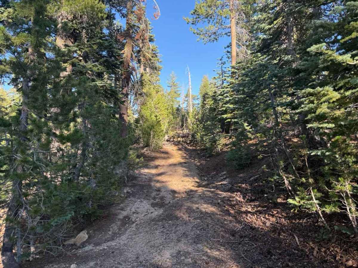
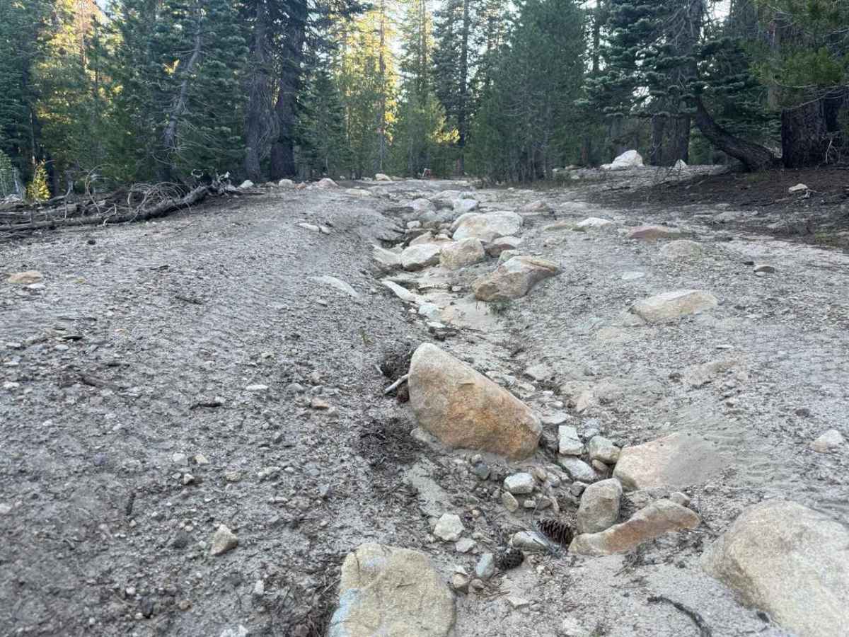
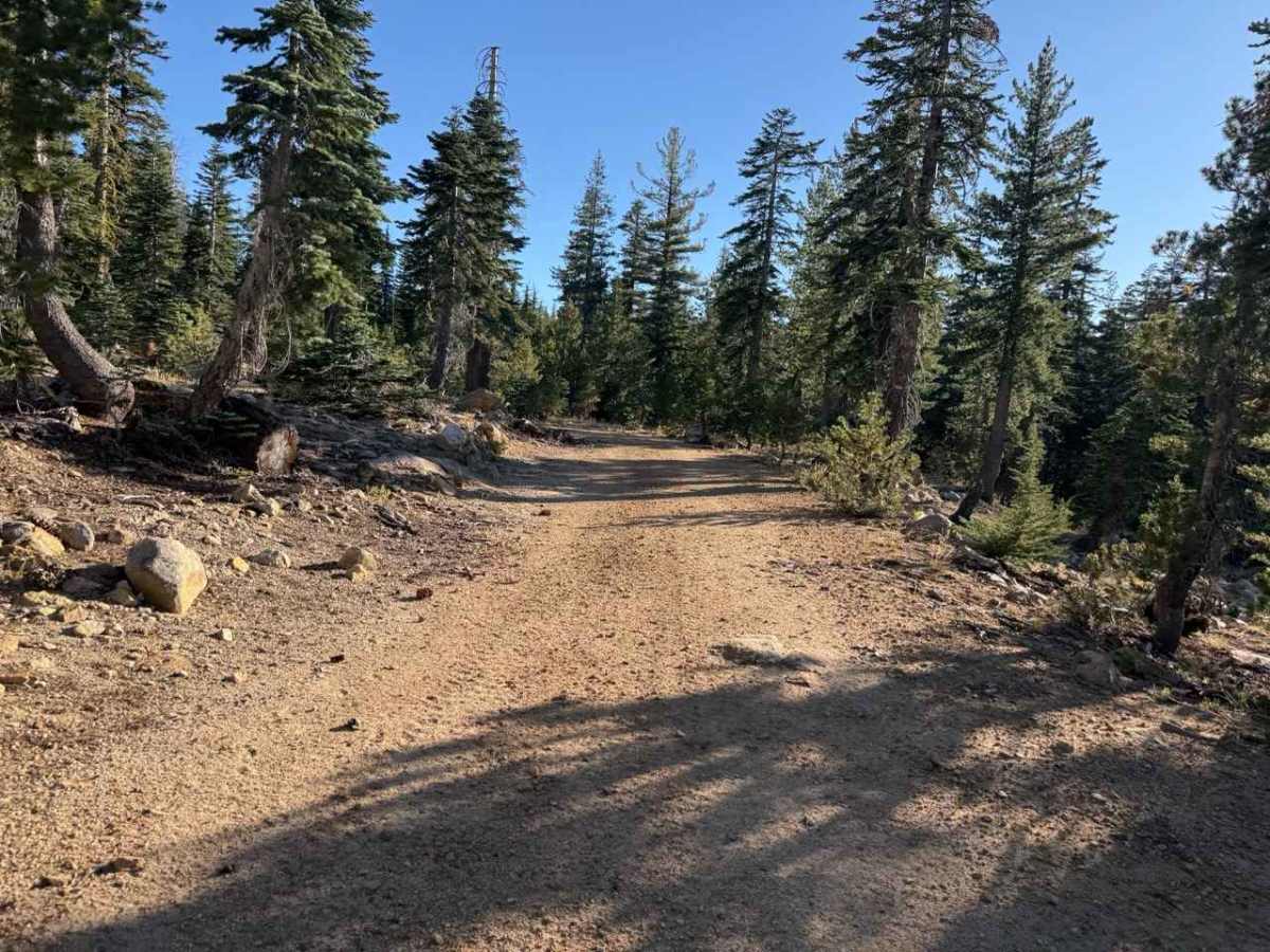
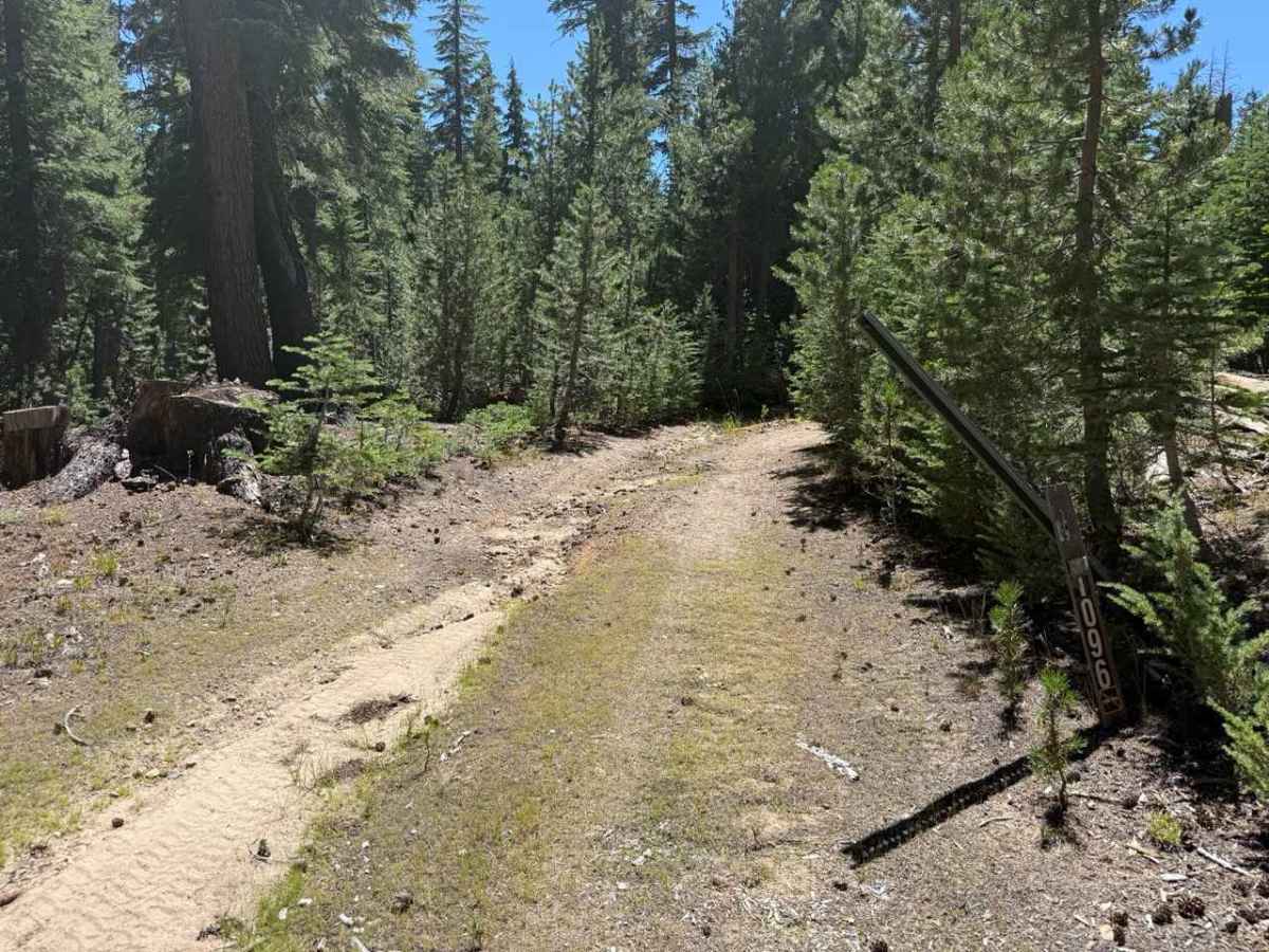
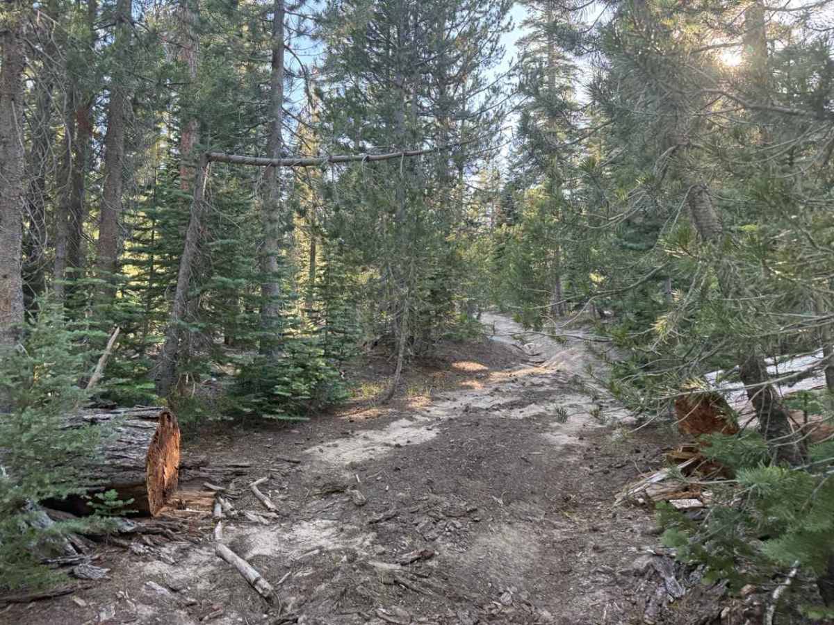
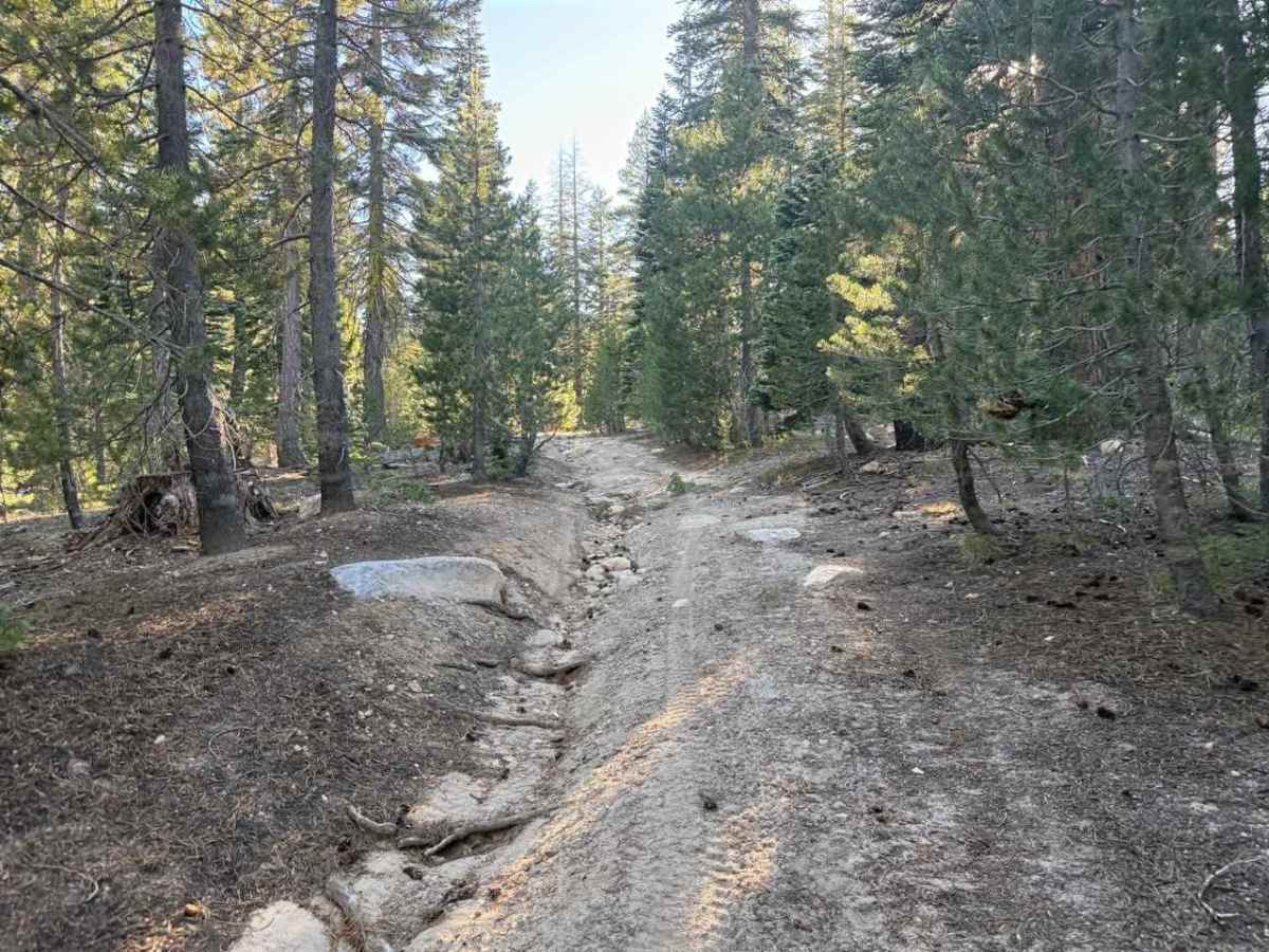
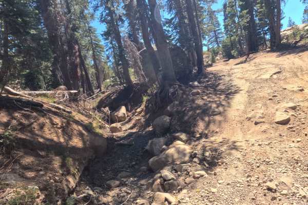
Skirting the high-country border between the Humboldt-Toiyabe National Forest and Eldorado National Forest, Blue Basin Road - FS 31096 winds through a dense, overgrown subalpine pine forest. Accessed directly off the regional forest service road network, this quiet, secluded spur is primarily utilized by forest management crews, boundary patrol officers, and dirt bike riders exploring remote backcountry connectors. The route consists of a narrow, single-vehicle-wide track composed of soft sand, loose dirt, and embedded rocks, earning an accessible Grade 2 difficulty rating. Starting as a tight tree-tunnel where low-hanging evergreen branches brush against vehicle sides, the trail wanders through quiet woods before encountering water erosion cuts and a raised midline near the 0.2-mile mark. A fallen tree at 0.7 miles restricts passing space, but the road continues on to a small primitive campsite around 0.9 miles. The path officially ends near the 1-mile mark at a faded, overgrown fork where both branches dissolve into thick forest foliage and foot trails.
Difficulty
Earning an accessible Grade 2 difficulty rating, this narrow single-vehicle track features a sandy, loose dirt base peppered with embedded rocks. While high ground clearance is not mandatory, water erosion starting around 0.2 miles creates a raised center midline that requires attentive tire placement to prevent underbody scraping. Dense pine brush creates a continuous paint-scratch hazard along the narrow right-of-way, and a downed tree at 0.7 miles creates a tight squeeze. Drivers should travel at a slow, controlled speed through the sandy turns and stay centered on the track to negotiate the eroded sections safely.

 Offroad