Trail Overview
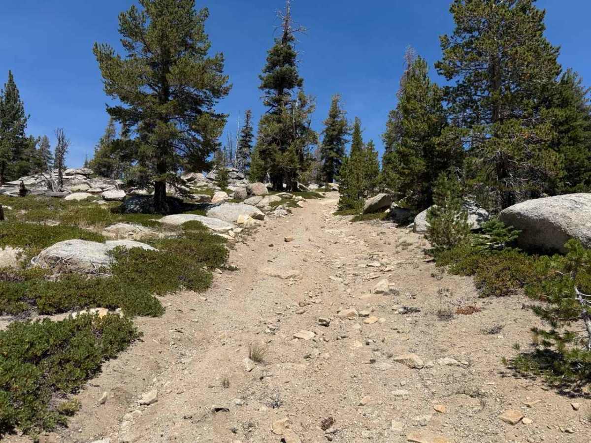
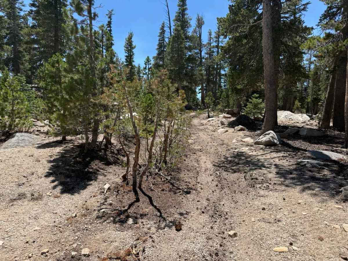
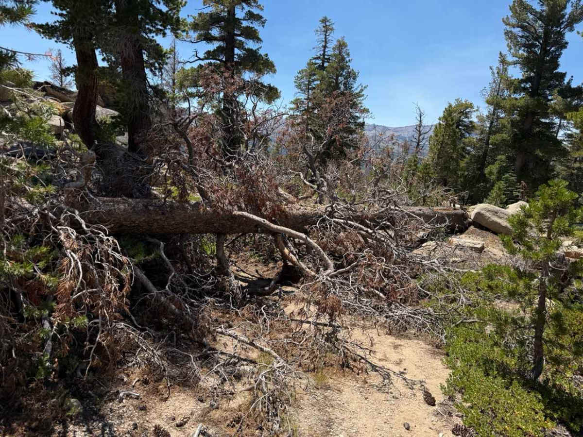
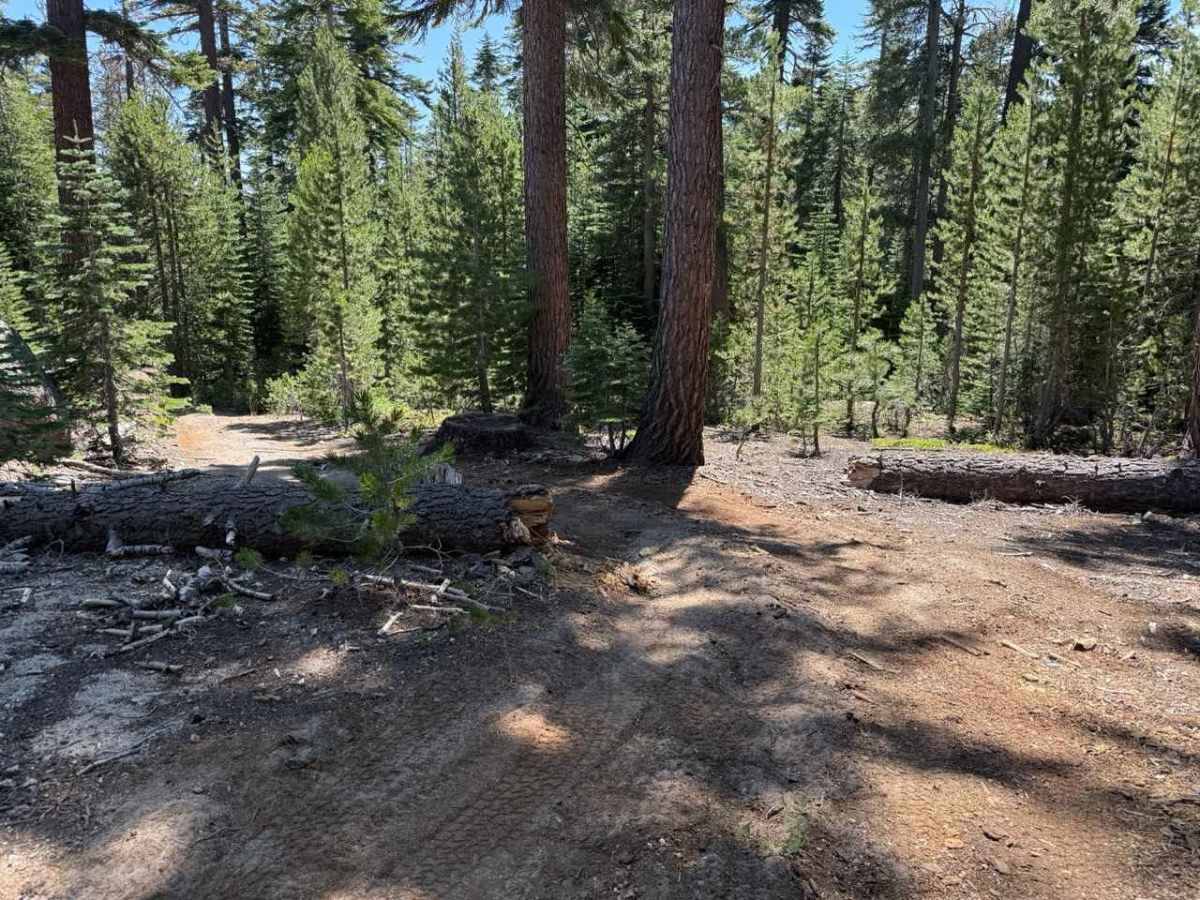
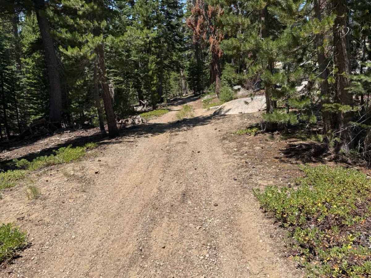
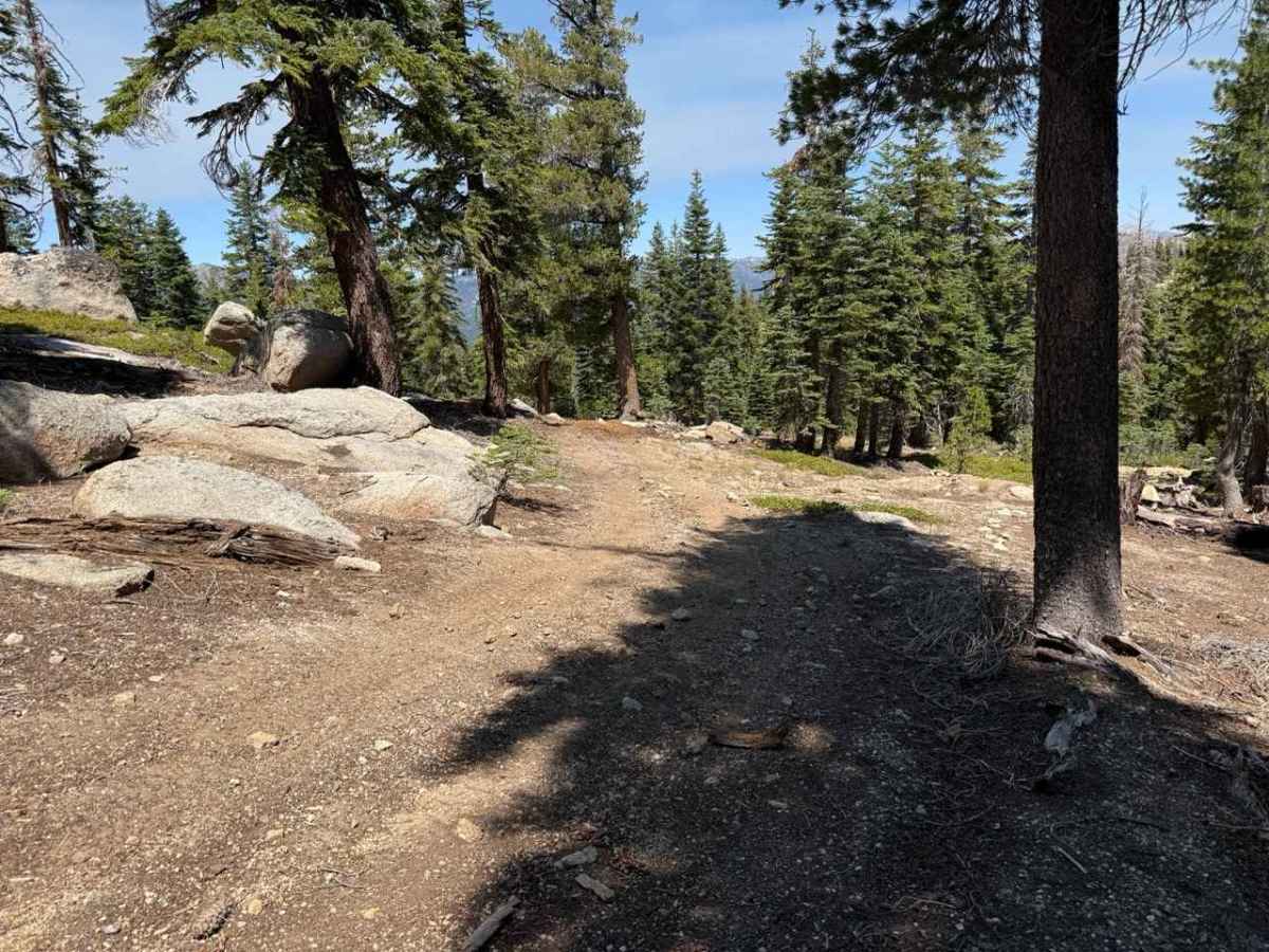
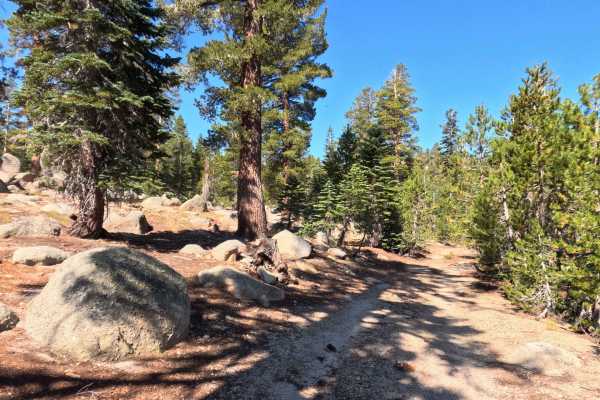
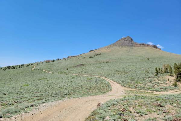
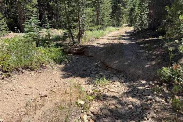
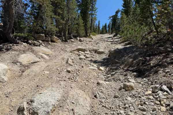
Set within an alpine pine forest featuring granite boulders and sagebrush slopes in the Humboldt-Toiyabe National Forest, Burnside Spur - FS 31205A provides a rugged, quiet high-country excursion. Accessed directly off Burnside Lake Road - FS 31205 near Hope Valley, this single-lane out-and-back spur climbs along an elevated ridge before becoming impassable due to dense treefall. Backcountry visitors primarily explore this remote track to seek solitude, take in mountain views toward Hawkins Peak, or access secluded alpine terrain. The driving surface consists of a narrow hard-packed dirt road mixed with embedded granite stones and loose gravel, earning an accessible grade 2 difficulty rating. Leaving the main route, the path immediately encounters a fallen log at 0.02 miles that requires squeezing through a tight opening. At 0.4 miles, a cut log leaves a narrow zig-zag maneuver between stumps. Past 0.6 miles, the route climbs steeper up the ridge on looser soil, where young pine saplings grow along the midline track. Beyond the Hawkins Spur D junction at 1.4 miles, the track drops steeply over the ridge on loose, sandy dirt before dead-ending at 1.5 miles amidst heavy treefall and rock outcrops.
Difficulty
Earning a grade 2 difficulty rating, this narrow single-track spur presents hard-packed dirt, loose granite cobbles, and progressive vegetation encroachment. Key non-technical challenges include multiple tight tree squeezes around fallen logs at 0.02 and 0.4 miles, midline sapling growth, and a steep, loose sandy descent past the 1.4-mile ridge crest. Drivers should maintain a slow, controlled crawling speed, carefully judge side clearance through tight log bypasses, keep wheels centered over midline brush, and turn around before the steep, loose slope or the complete treefall blockage at 1.5 miles.

 Offroad