Trail Overview
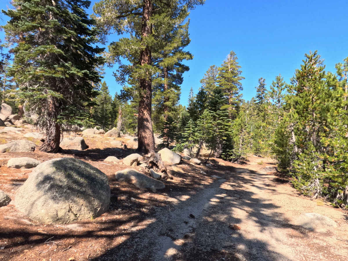
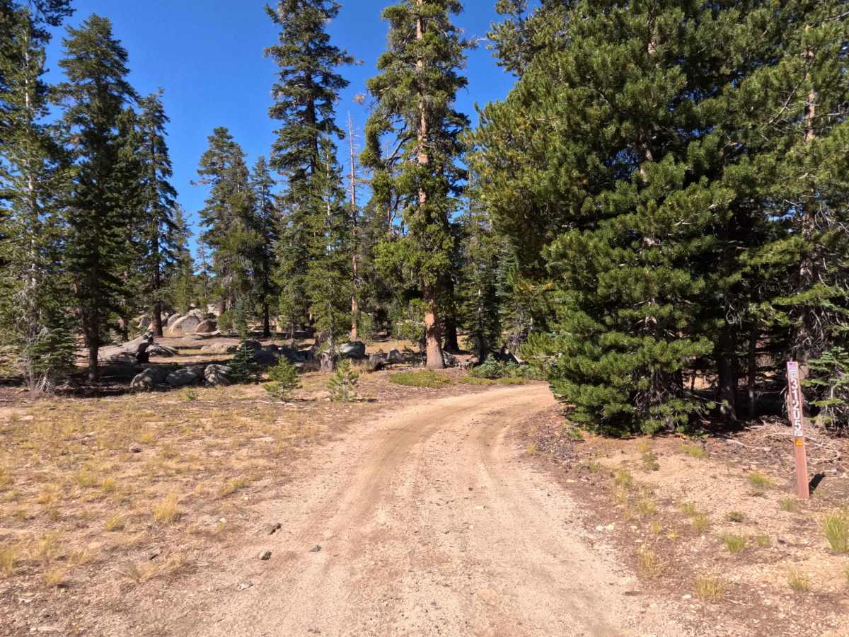
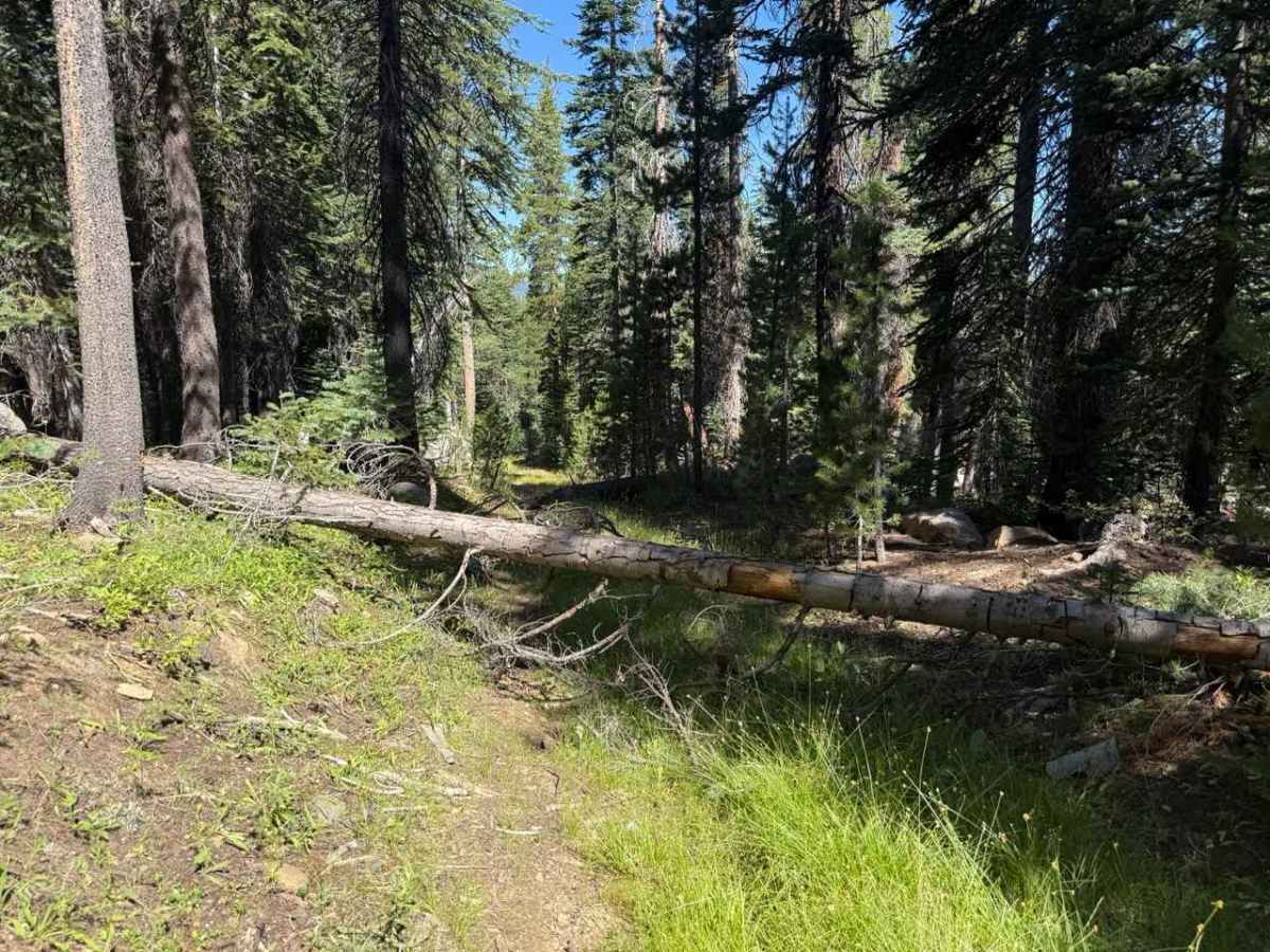
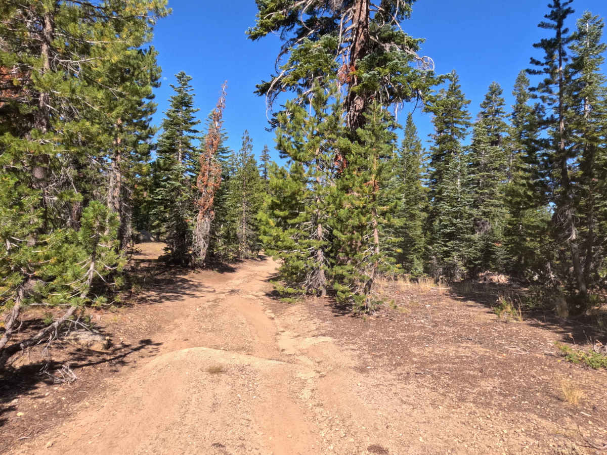
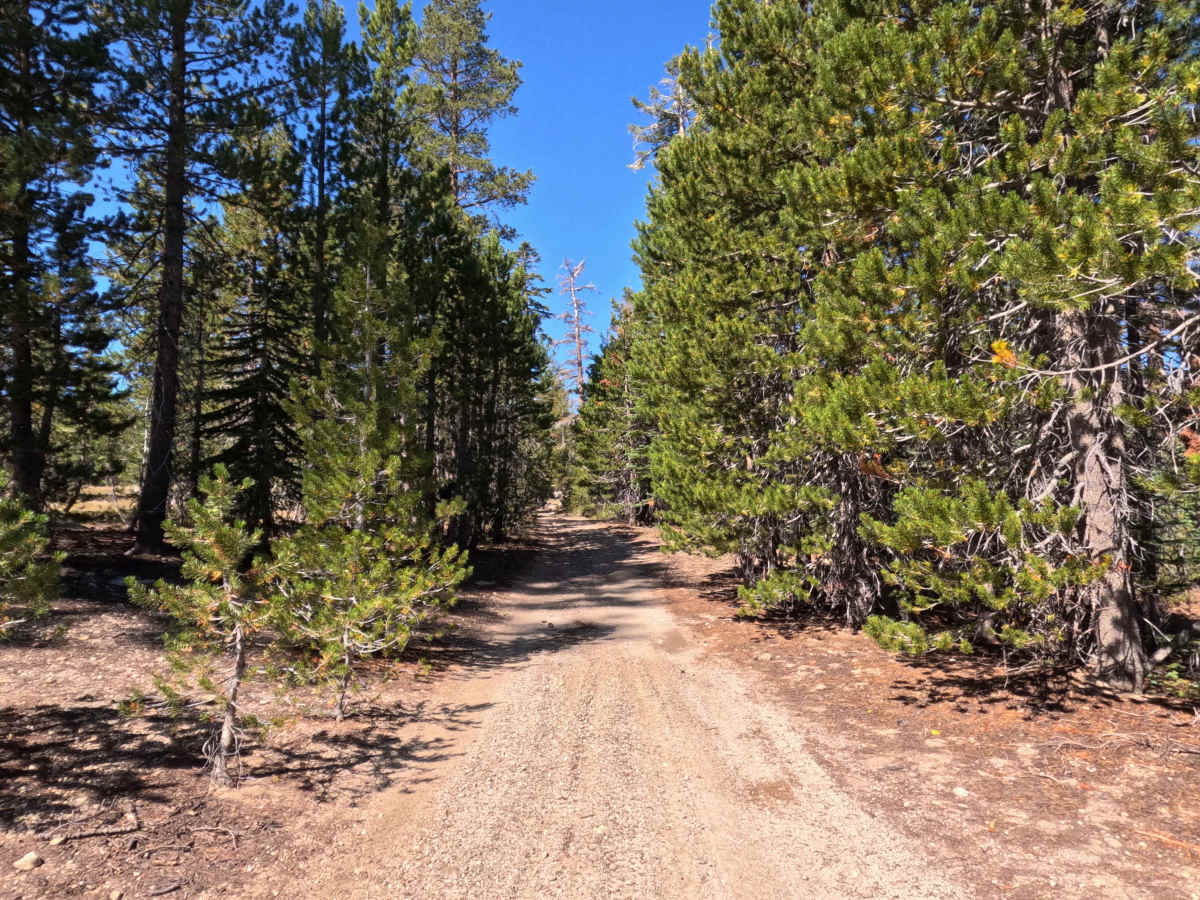
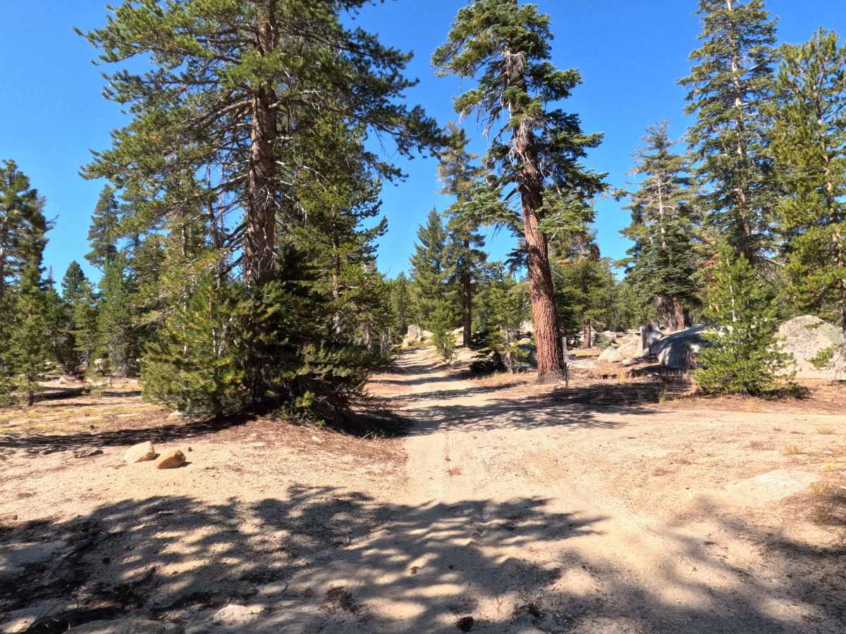
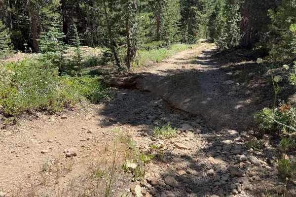
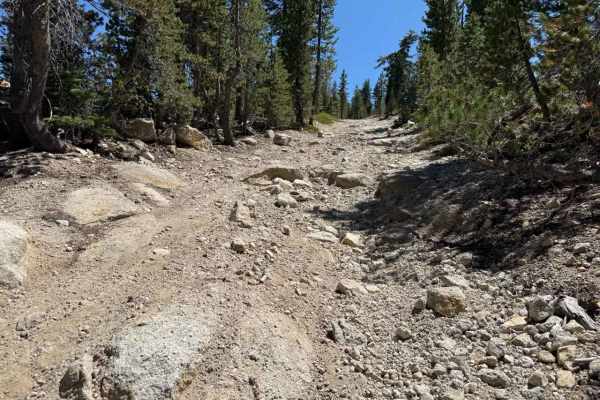
Set within an alpine pine forest featuring granite outcrops and grassy mountain clearings in the Humboldt-Toiyabe National Forest, Burnside Lake - FS 31205 offers a quiet, unmaintained backcountry detour. Accessed directly off of main Burnside Lake Road near Hope Valley, this single-lane dirt spur functions as an out-and-back route extending deep into the surrounding timberland. Outdoor enthusiasts and anglers primarily utilize this track to locate secluded primitive dispersed campsites, access nearby Burnside Lake hiking trails, or enjoy peaceful high-country solitude. The driving surface consists of a single-lane unmaintained dirt road with embedded rocks that transitions into looser, sandier soil, earning an accessible grade 2 difficulty rating. Departing the main access road at the designated Forest Service route marker, the track begins firm before narrowing as pine boughs and brush encroach from both sides. Signs of mild erosion appear along the downslope edge, though slopes remain gentle and manageable. Past 0.6 miles, the pathway becomes increasingly overgrown with high grass and fallen limbs, eventually devolving into a faint foot trail just beyond two large downed logs at 0.8 miles, where vehicles must turn around.
Difficulty
Earning an accessible grade 2 difficulty rating, this single-track forest spur features hard-packed dirt and embedded stones that transition into loose sand and pine litter. Technical obstacles and steep rock ledges are absent, making the route easy to travel under dry conditions. Primary non-technical challenges include narrow tree clearance with encroaching side branches, minor downslope washouts, and loose sandy soil near the end. Drivers should maintain a slow, controlled speed, keep tires centered along the firmest portion of the dirt track, and execute a turnaround before reaching the heavy treefall and high grass at the 0.8-mile dead-end.