Trail Overview
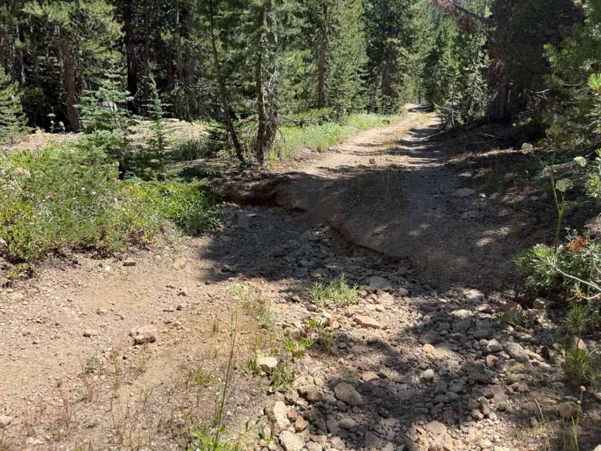
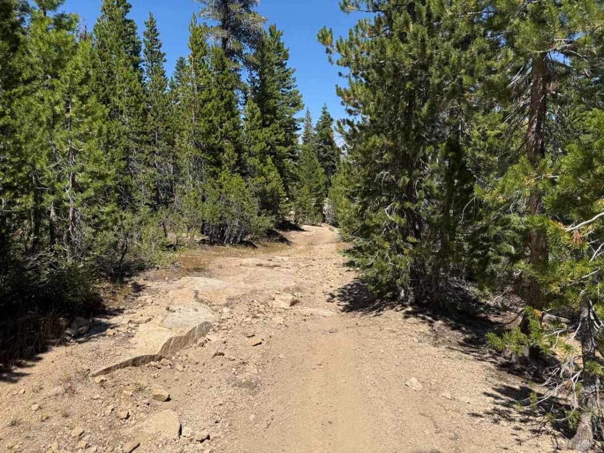
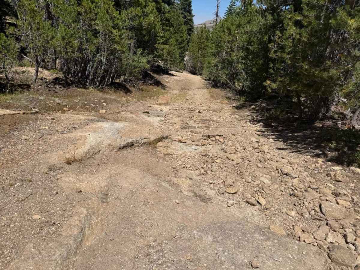
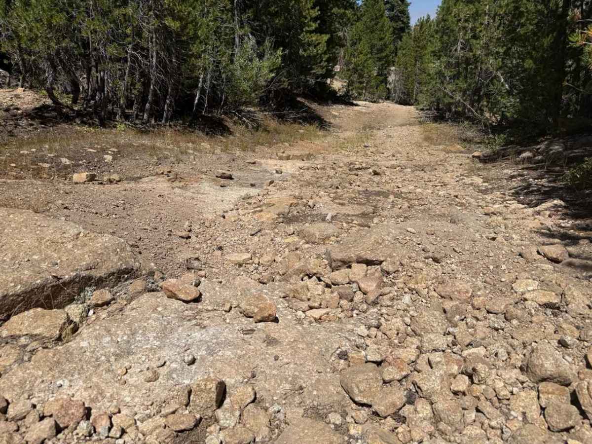
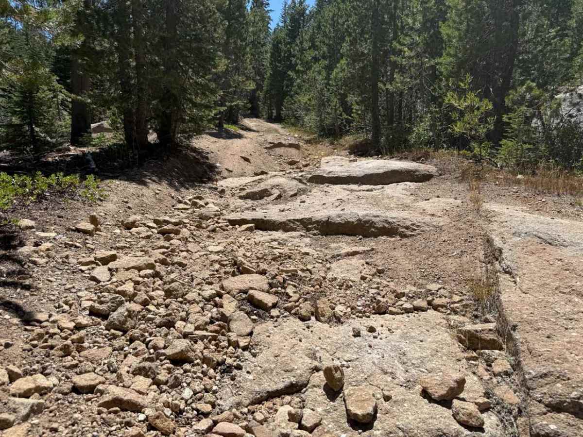
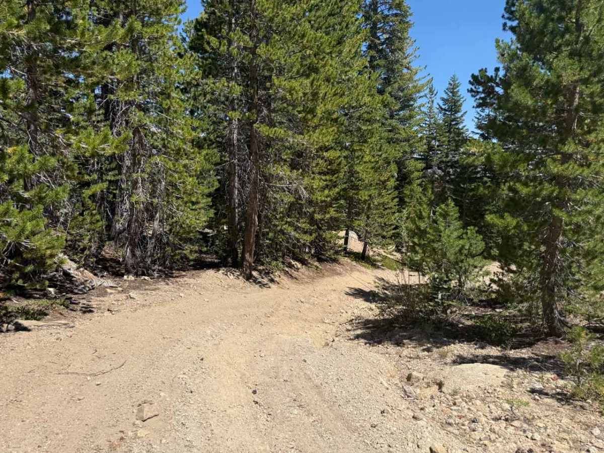
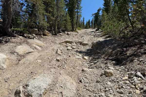
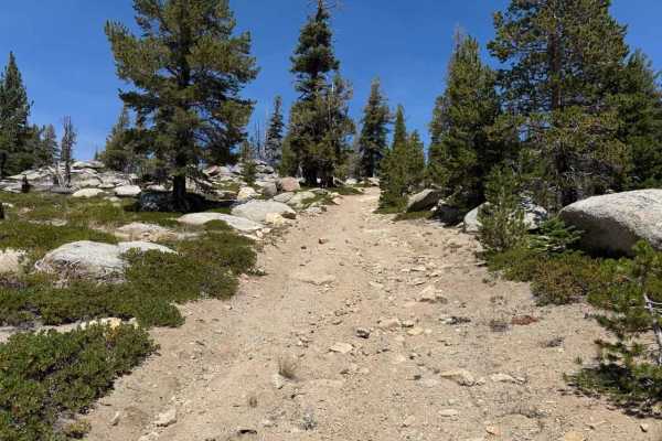
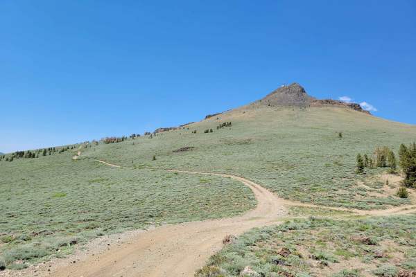
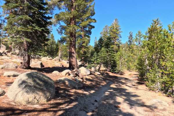
Set within a high-elevation alpine forest of Jeffrey pines, firs, and granite outcrops in the Humboldt-Toiyabe National Forest, Hawkins Spur D (FS 31205D) serves as a rugged connector trail linking Burnside Spur A (FS 31205A) down to Burnside Connector Spur B beneath Hawkins Peak. Off-road enthusiasts travel this connecting route to traverse between spur tracks, access remote backcountry hiking terrain, or reach secluded primitive camping areas around the Hope Valley basin. The driving surface consists of a narrow, single-lane hard-packed dirt and rock track heavily impacted by seasonal water erosion, earning a technical Grade 3 difficulty rating. Descending downhill from the upper ridge junction, the path drops over a heavily eroded section near 0.3 miles where water runoff has stripped topsoil to expose bedrock steps and loose rock debris. Continuing down the slope, the trail navigates an angled turn at 0.4 miles featuring deep rutting and a high midline that directs tires into an eroded right-hand wash channel. Further down the descent, an unmarked spur branches off at 0.7 miles before the main track passes through a brushy seasonal stream crossing at 0.8 miles and completes the connector link.
Difficulty
Earning a technical Grade 3 difficulty rating, this single-lane descending connector trail presents significant ground-clearance and line-selection challenges due to severe water erosion. Primary obstacles along the downhill slope include exposed granite bedrock ledges forming 6- to 10-inch drop-offs, loose rock fields, and an angled turn with a raised midline that forces tires into a deep erosion channel. Drivers descending this track should maintain a slow, controlled crawling speed, carefully pick high tire placement lines over bedrock steps, and straddle longitudinal washouts to prevent underbody or bumper contact.