Trail Overview
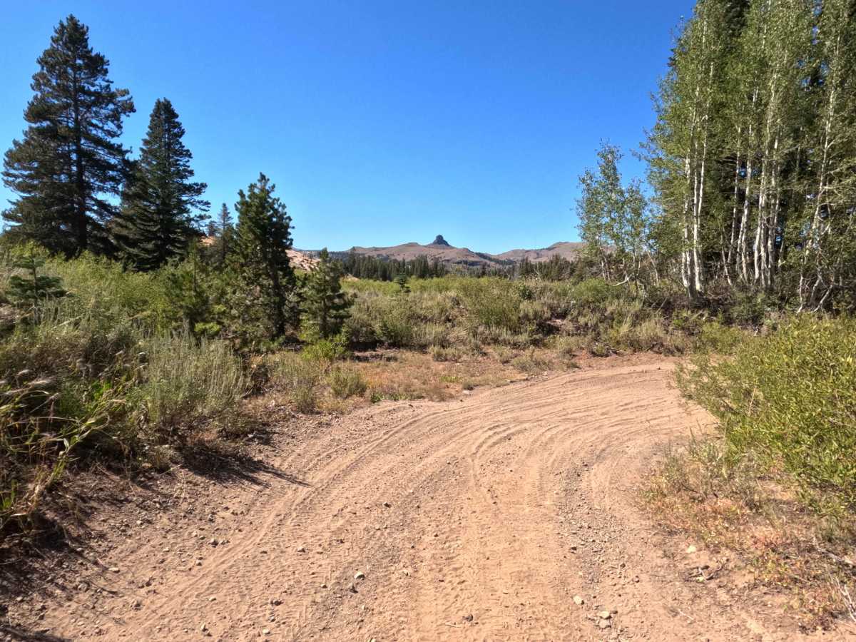
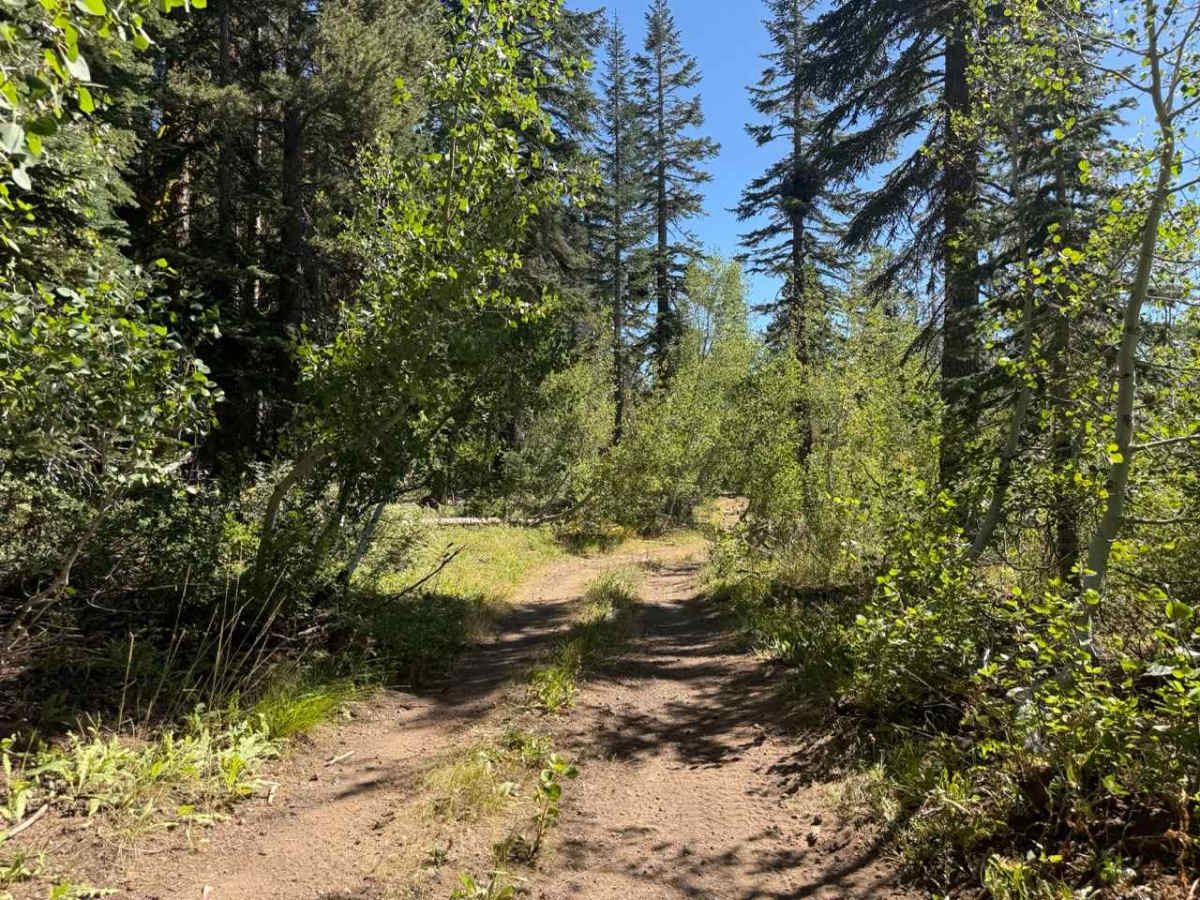
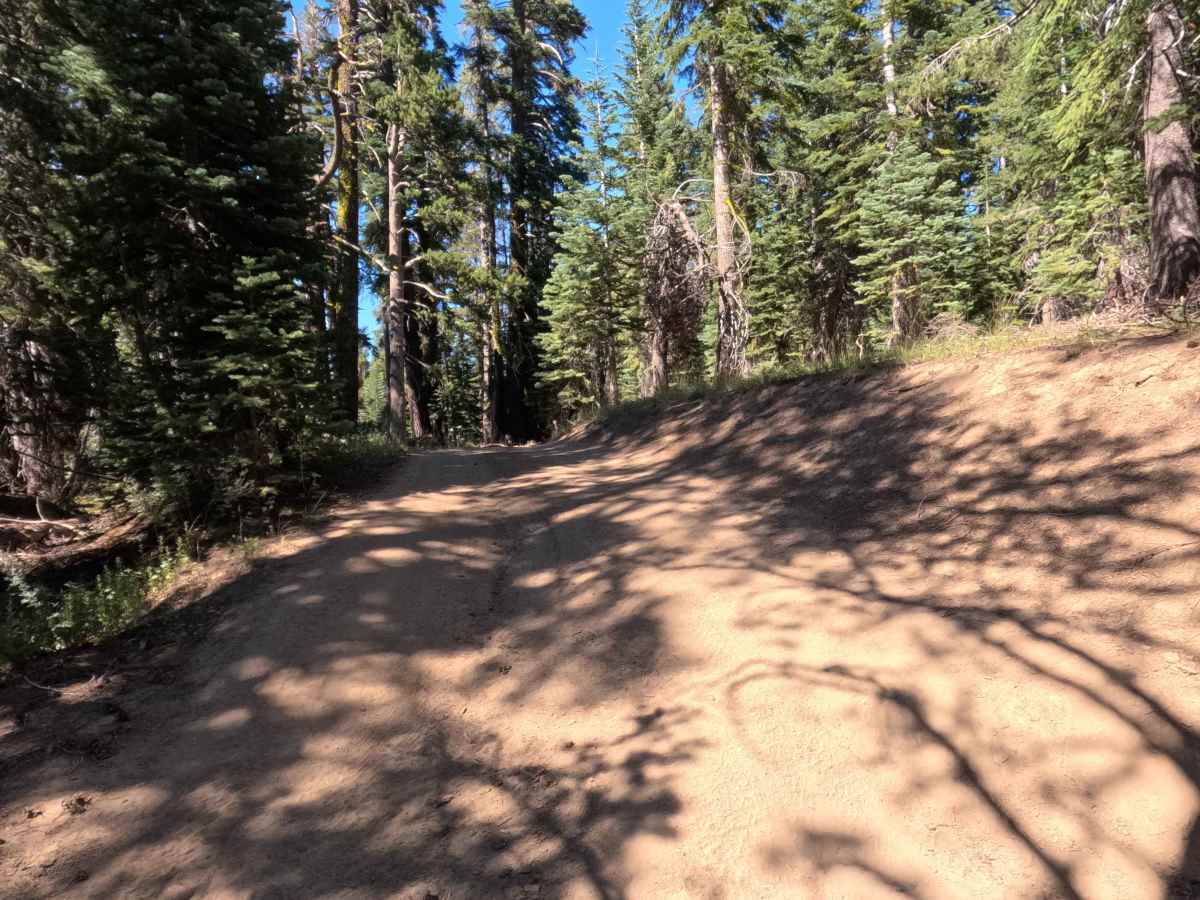
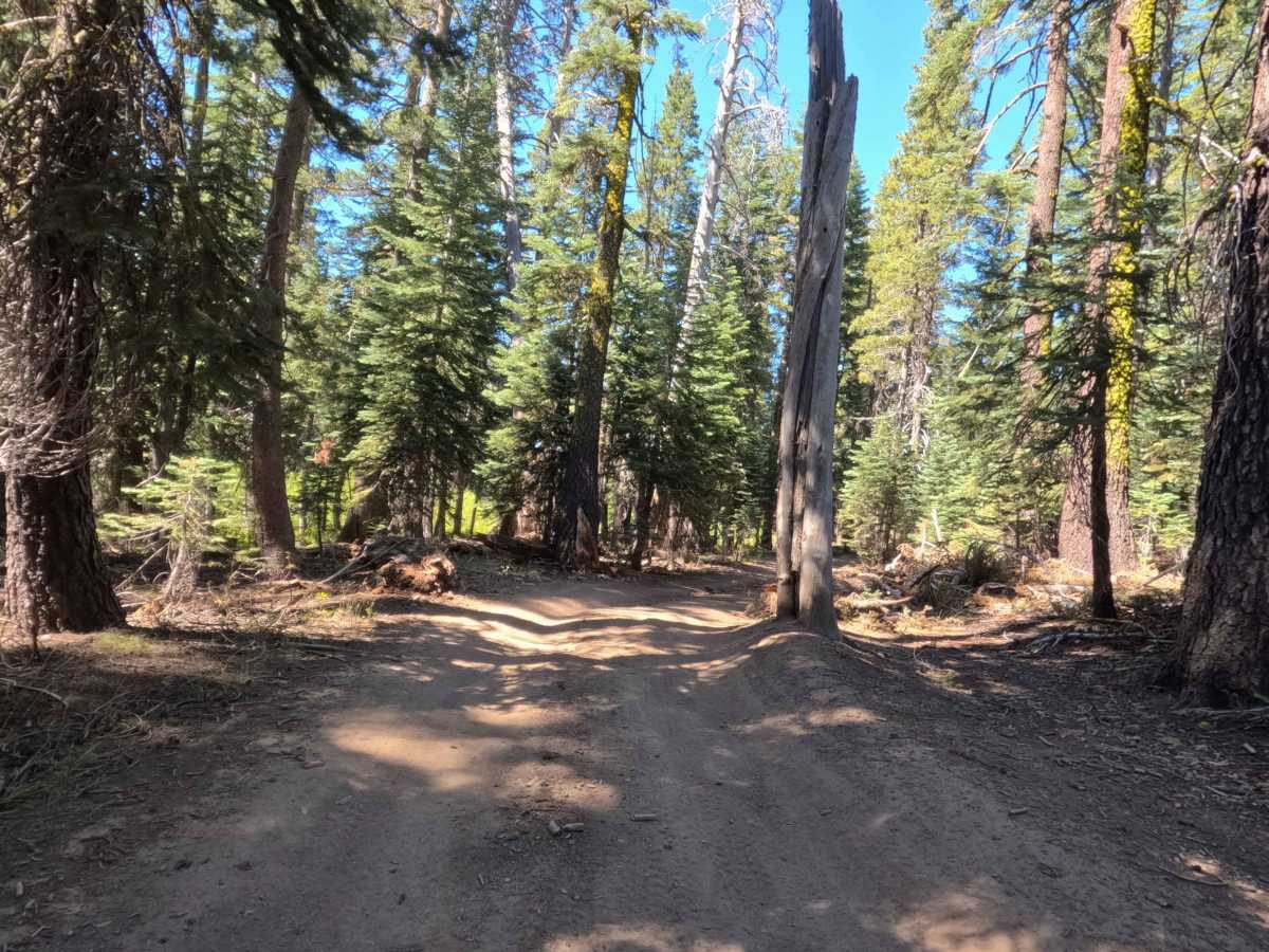
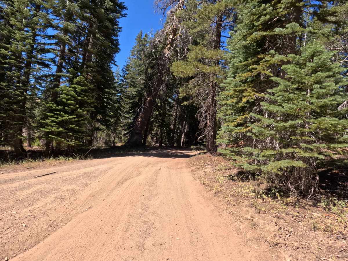
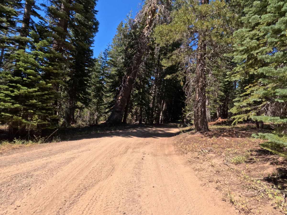
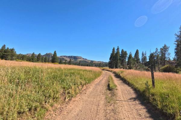
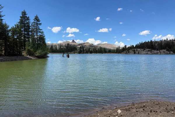
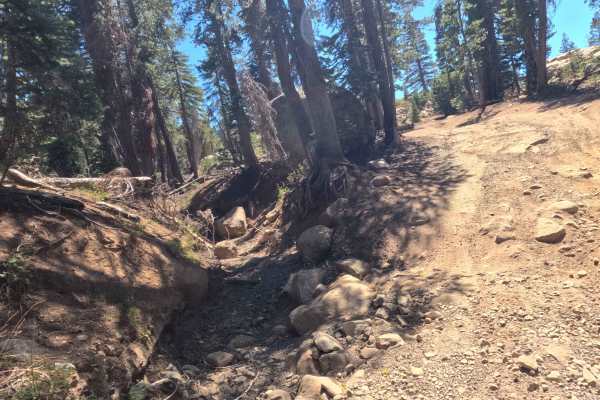
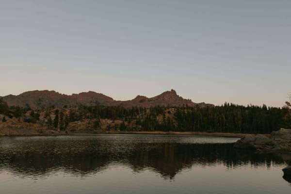
Set within a dense, subalpine pine and aspen forest managed by the Humboldt-Toiyabe National Forest near the edge of the Mokelumne Wilderness, Tamarack Road - FS 31097 offers a tranquil high-country mountain escape. Accessed directly from Indian Valley - FS 9N03 after leaving the open meadow area, this quiet backroad narrows quickly as it enters thick tree coverage. Public forest visitors primarily utilize this peaceful route to access secluded, well-shaded dispersed camping spots along the eastern shore of Wet Meadows Reservoir or to reach the road's terminus where it connects to a foot trail leading to the Pacific Crest Trail (PCT). The route consists of a single-lane hard-packed dirt track with embedded rocks, earning an accessible Grade 2 difficulty rating. Along the drive, travelers wind past picturesque aspen groves and cross several dry seasonal washes before the vehicle path concludes at the wilderness boundary.
Difficulty
Earning an accessible Grade 2 difficulty rating, this single-track trail is composed mostly of hard-packed dirt with embedded rocks and occasional dry wash crossings. While technical obstacles are absent under dry seasonal conditions, the road is quite narrow with encroaching vegetation on both sides that creates a mild paint-scratching hazard for wider rigs. Drivers should maintain a steady, controlled speed through the dry wash dips, pick smooth lines over exposed rocks, and navigate the tight tree squeezes carefully. Ground clearance requirements remain minimal during late summer, making the route straightforward during normal operating months.