Trail Overview
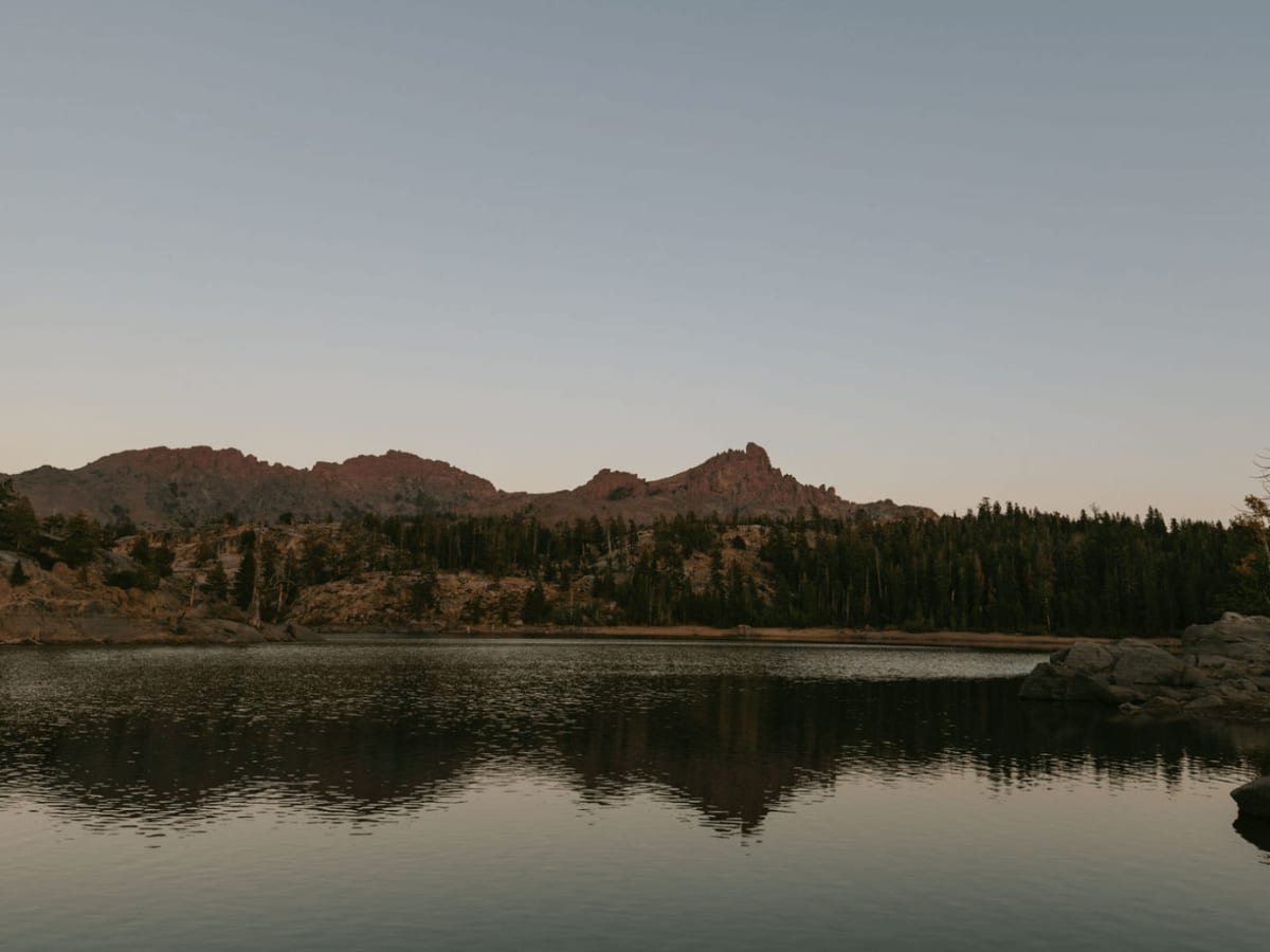
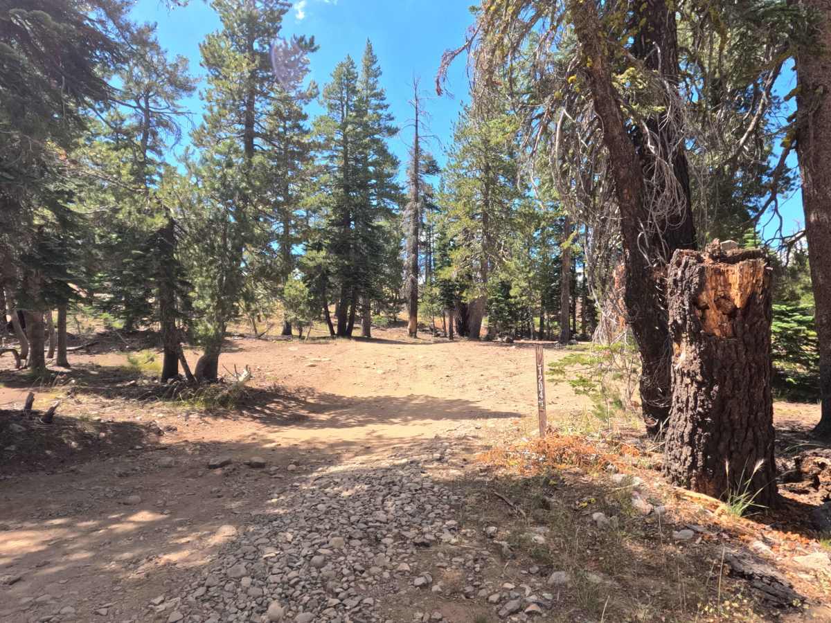
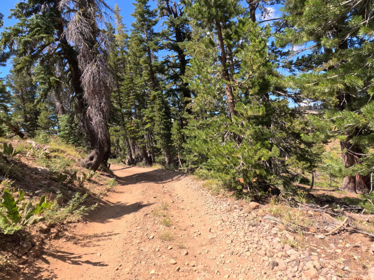
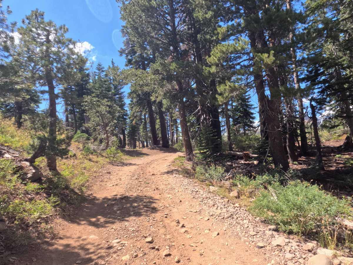
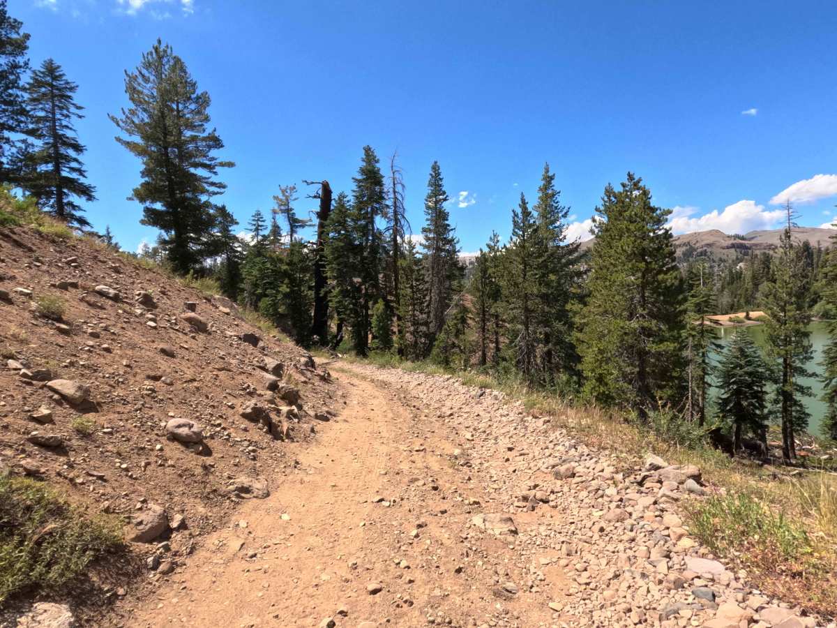
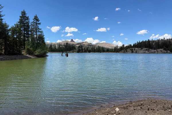
Set within the tranquil subalpine evergreen forest of the Humboldt-Toiyabe National Forest, District Spur B - FS 31204B provides a remarkably scenic journey through high-country pine terrain. Accessed directly off District Line Road - FS 31204, this narrow out-and-back spur is primarily utilized by forest visitors seeking primitive dispersed camping, serene water views, and quiet lakeside relaxation. Starting relatively wide, the path quickly transforms into a tight single-track route that drops onto a dramatic, narrow spit of land separating Upper Sunset Lake and Lower Sunset Lake. The track carefully skirts the northern shore of Upper Sunset Lake before wrapping around to the western edge of Lower Sunset Lake, concluding at a small, rustic dam campsite complete with a convenient turnaround area. Along the way, travelers are rewarded with sweeping views of rugged granite peaks reflecting off the water.
Difficulty
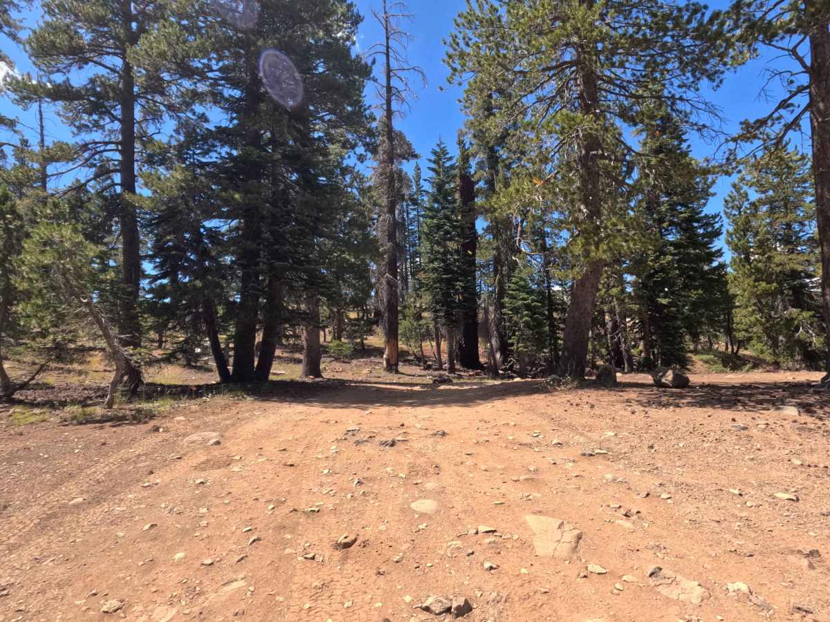
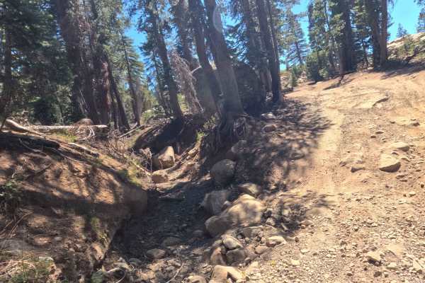
Earning an accessible Grade 2 difficulty rating, this narrow single-track spur consists of hard-packed dirt peppered with embedded rocks, light erosion, and moderate surface bumps. While high-level ground clearance is not required, drivers must navigate a couple of distinct obstacles, including a quick drop into a wash as you cross the land divide between the lakes. Additionally, a downed log at the 0.2-mile mark has been sawed open but still juts slightly into the trail, creating a tight pinch that demands careful tire placement. Simply maintain a slow, controlled pace through the wash dip, line up cleanly past the protruding timber, and enjoy a safe drive along the lakeshore.

 Offroad