Trail Overview
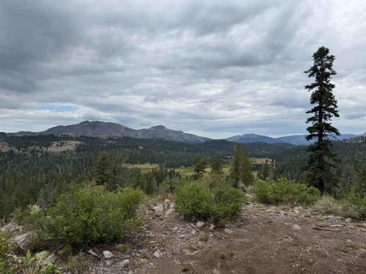
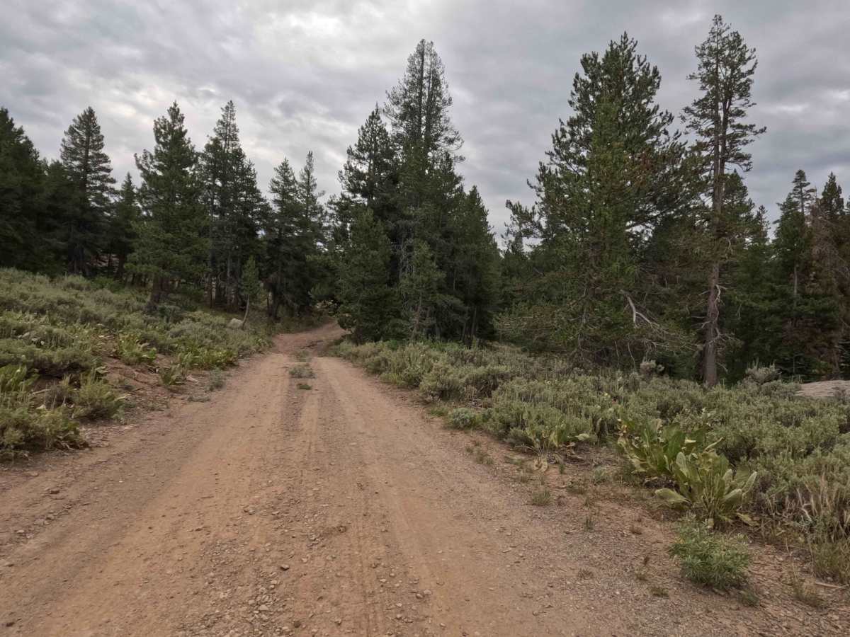
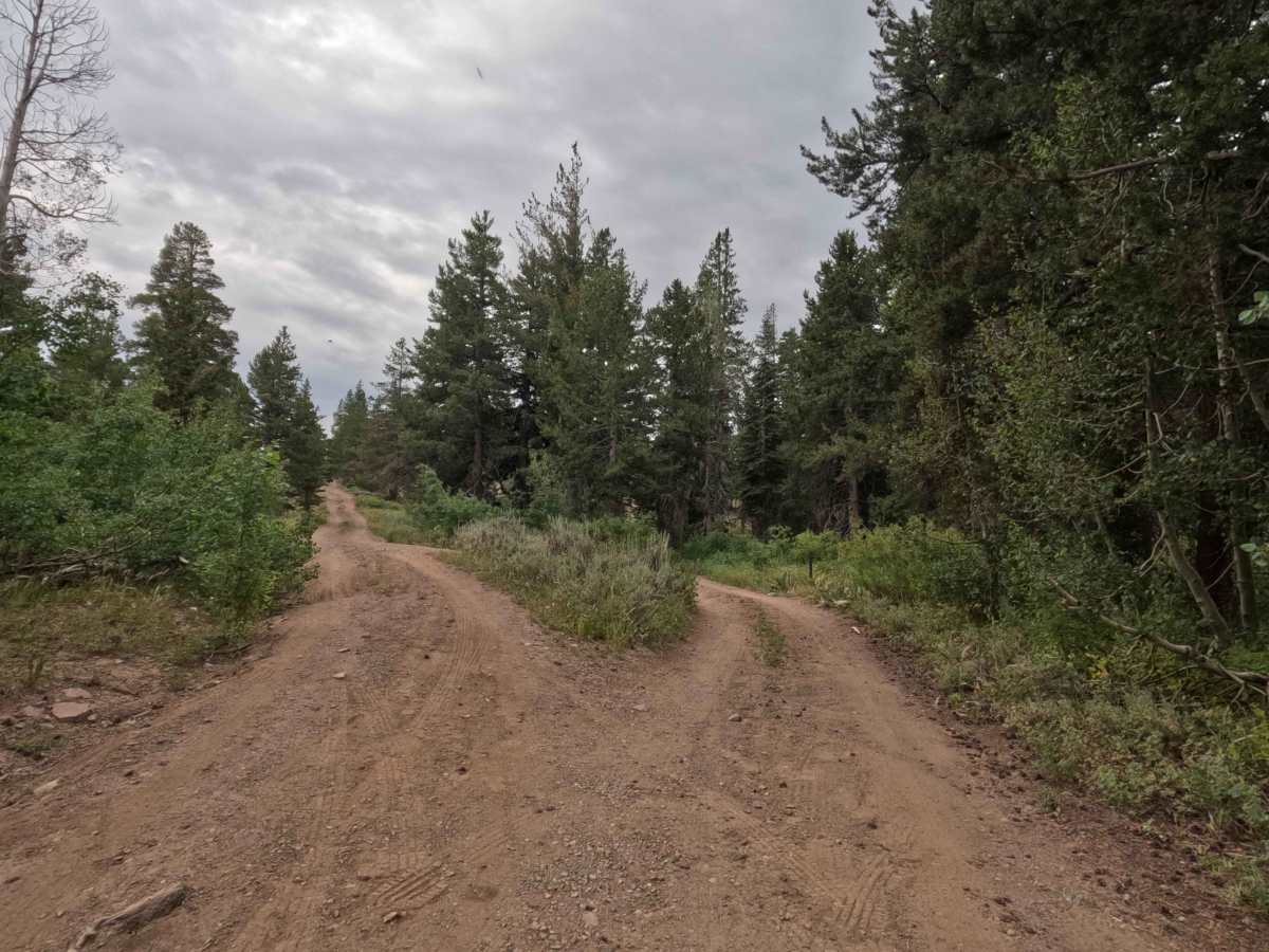
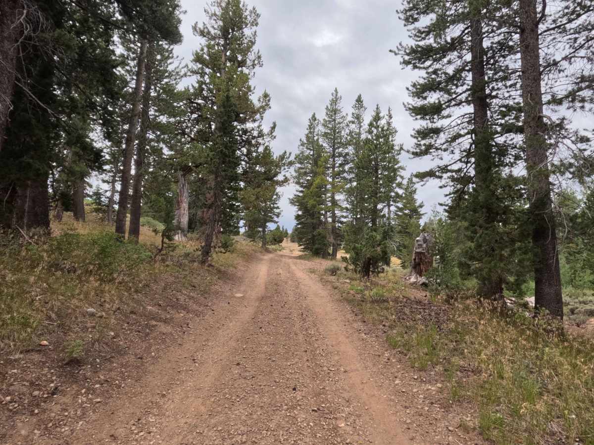
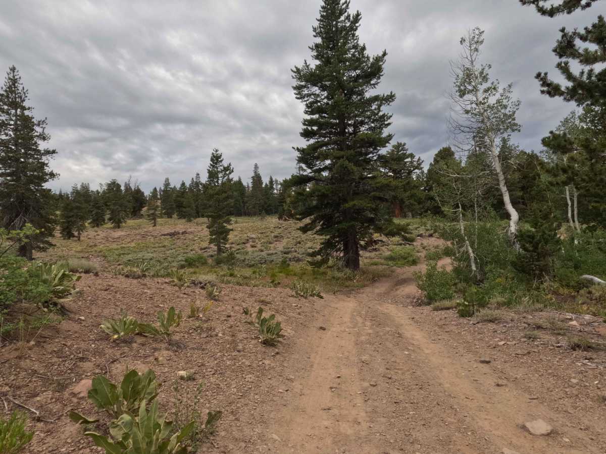
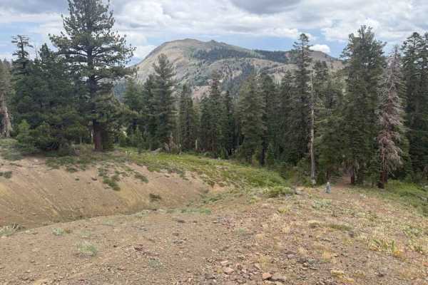
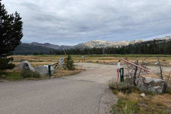
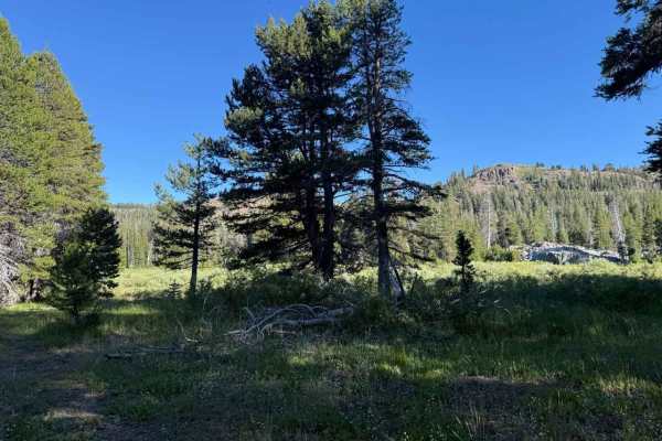
Set within a serene, high-country pine forest managed by the Humboldt-Toiyabe National Forest, Lower Charity Road - FS 31206 provides a secluded and scenic mountain escape. Entered via its slightly steep initial entrance or through the connecting Road - FS 31206B, this single-track dirt spur is primarily utilized by public forest visitors seeking primitive, quiet dispersed camping away from busier lake basins. Outdoor enthusiasts also use this peaceful track as a gateway to explore nearby high-alpine wilderness routes, including the surrounding Charity Valley trail network. The narrow, hard-packed dirt pathway meanders through thick evergreens and grassy meadow edges, becoming progressively tighter and more overgrown as you approach the back of the route. A small turnout sits roughly 0.1 miles before the end, and the trail ultimately terminates at a large, picturesque campsite featuring an old stone fire pit and sweeping mountain views.
Difficulty
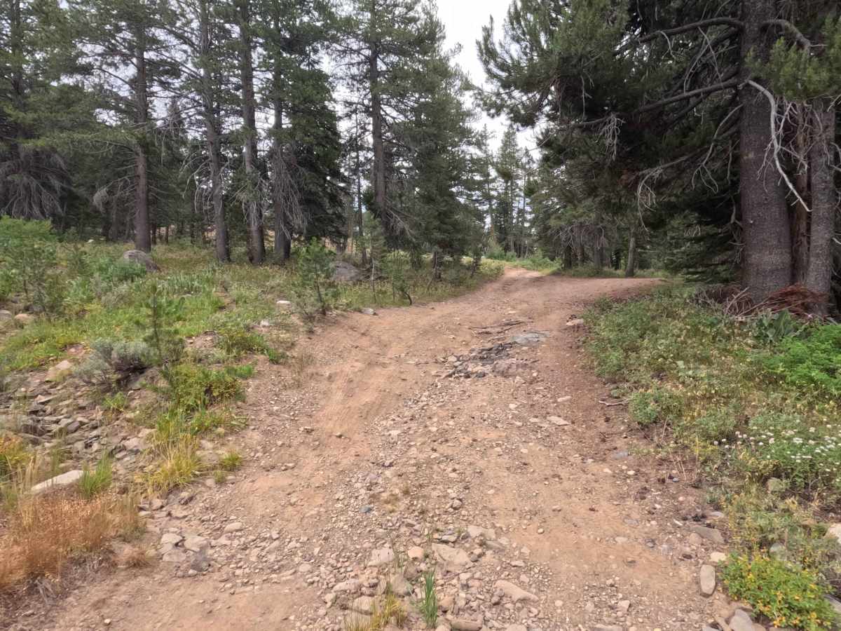
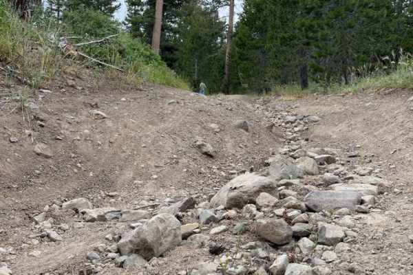
Earning an accessible Grade 2 difficulty rating, this is a narrow, single-track hard-packed dirt and rock spur that presents minimal technical challenge under dry seasonal conditions. While there is virtually no room for vehicles to pass one another, the primary terrain features consist of a brief, steep entry grade, short water ruts, and seasonal mud patches following monsoonal rains. Vehicles with modest clearance can easily traverse the track by carefully choosing clean lines around deep mud ruts and taking the tight, brushy turns slowly to avoid contact with overhanging branches.

 Offroad