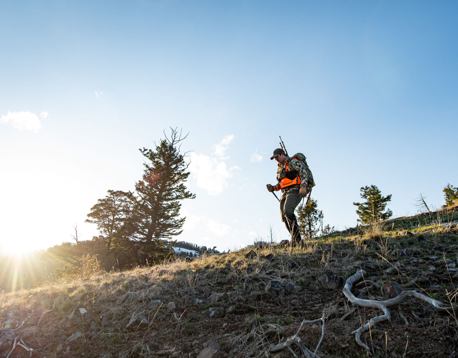
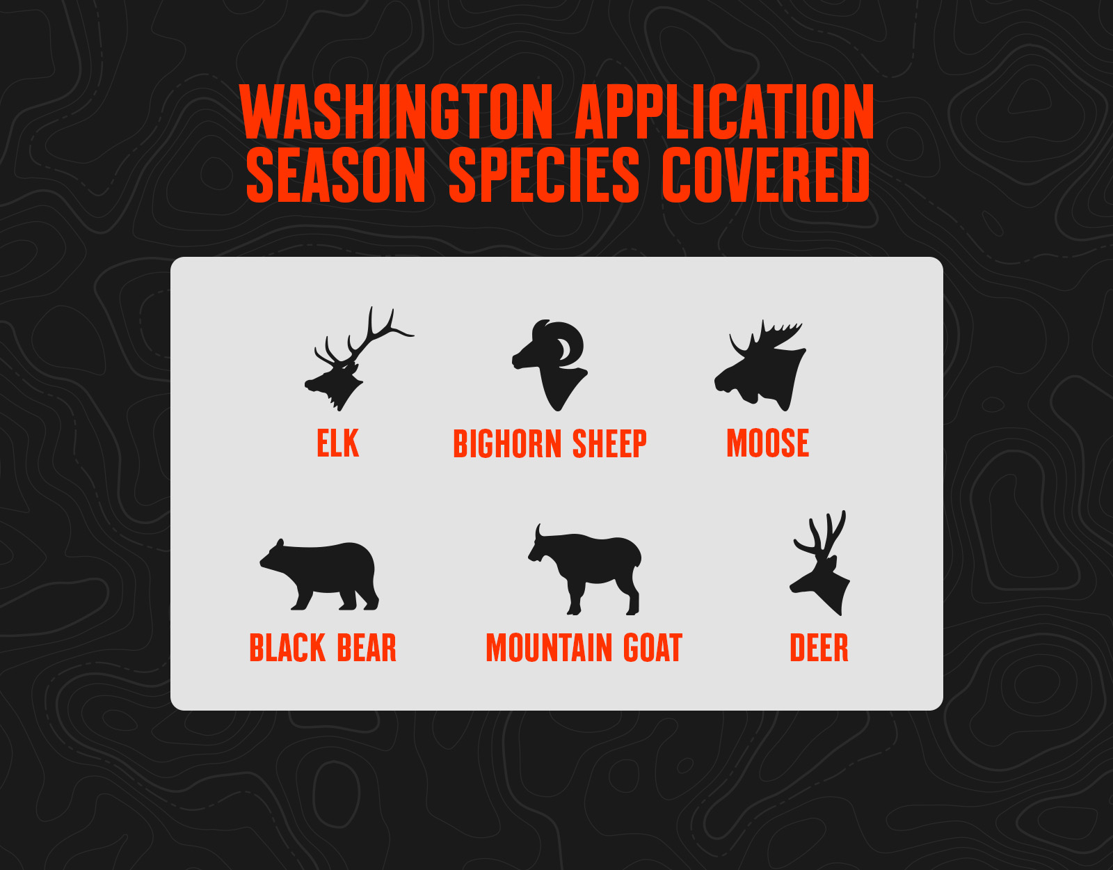
The Evergreen State offers widely available elk and deer general season hunts for specific game management units (GMUs), as well as special permits issued exclusively through a drawing. Washington has special permit drawings for deer, elk, mountain goat, moose, bighorn sheep, and turkey. The state’s bull moose, bighorn sheep (ram), and mountain goat special permits are once-in-a-lifetime hunts.
Washington offers hunters chances to tick several species off their lists. For deer hunters, the state has three species: mule deer, whitetail, and blacktail. Elk hunters can chase both Rocky Mountain and Roosevelt elk.
Hunters may apply for tags with the Washington Department of Fish and Wildlife.
Huntin’ Fool’s Washington page provides updated information on Washington draw changes.
What’s New in 2026
- Washington increased prices by 38% across the board. It’s now one of the most expensive states to apply in and has terrible draw odds for sheep, goat, and moose.
- The Selah Butte California sheep unit will be reopened with two tags available in the 2026 draw.
- The Cleman Mountain California sheep unit doubled the ram tags: eight draw tags are available in 2026.
- Electronic tagging is now available for all big game tags in the MyWDFW app.
- There will be no Rocky Mountain sheep draw tags for 2026.
2026 WASHINGTON SPECIAL HUNT APPLICATION DEADLINE
Special Hunt Permits
Washington Special Hunt Draw Process FAQs
Point System
- Washington uses a squared bonus point system. Each year you’re unsuccessful at drawing a special permit, you receive another point.
- Bonus points are both species and category-specific. “Categories” are types of hunts for each species. For example, there are five moose categories: Antlered Bull, Antlerless, Youth, 65 & Over, and Disabled.
- You can apply for a maximum of four hunt choices per application, except for the quality deer and elk categories. For quality deer and elk hunts, only two hunt choices are allowed.
- When you’re drawn, all of your application choices are considered before moving on to the next applicant.
- Points cannot be transferred between individuals or categories.
- When a hunter is selected for a special permit, the hunter’s point total for that species/category drops to zero.
Tag Allocation
- There are no dedicated quotas for non-residents; all applicants have the same odds to draw regardless of residency status.
- There are no permits set aside for applicants with the most points; all permits are issued via the random bonus point drawing.
Resources
- View Washington Big Game Hunting Regulations.
- Apply for Your Washington Hunting Tags.
- Read Washington Hunting News and Updates.
- Check Washington CWD Updates.
Top Three State Application Tips
- There is an option to apply for bonus points only, but the cost to do so is the same as actually applying for a permit. Given the low draw odds, it’s generally best to apply for special permits instead of opting for points only.
- It’s possible to draw more than one permit for the same species. If you do, you can participate in each hunt, but must stop hunting once you harvest an animal. Unless one of those permits is for a second tag, you’re restricted to harvesting one animal.
- Washington allows group applications, and the group’s total bonus points are averaged when entering into the draw.
![]()
Your Complete System for Securing Tags
Whether you’re chasing a once-in-a-lifetime hunt or just looking to fill the freezer, your season starts with onX Hunt’s application tools—all included with an Elite Membership:
- Hunt Research Tools: Draw odds, tag trends, and harvest stats for 11 western states (Washington is not yet available) to help you decide where to apply.
- Huntin’ Fool: In-depth insights to navigate state-specific systems and build better strategies.
- HuntReminder: Text and email alerts so you never miss a deadline.
One membership, every tool you need to make 2026 the year.